Google のウォーター スチュワードシップ プロジェクト
Google は、ウォーター スチュワードシップ イニシアチブを通じて、水資源保護と流域の健全性に投資しており、地元の組織と協力して、事業を展開している流域の課題に対処しています。
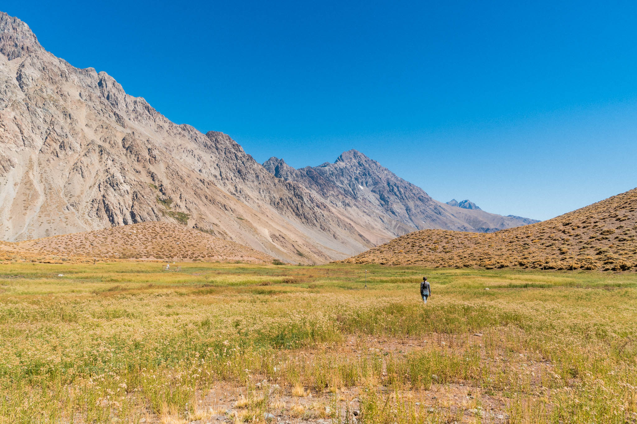
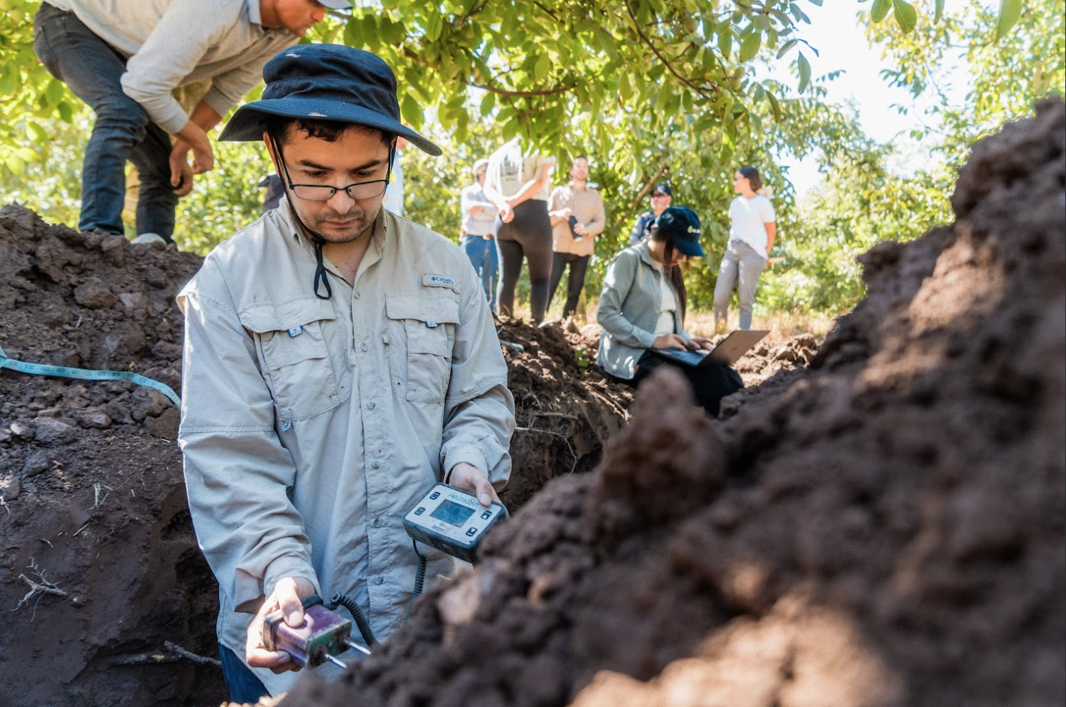
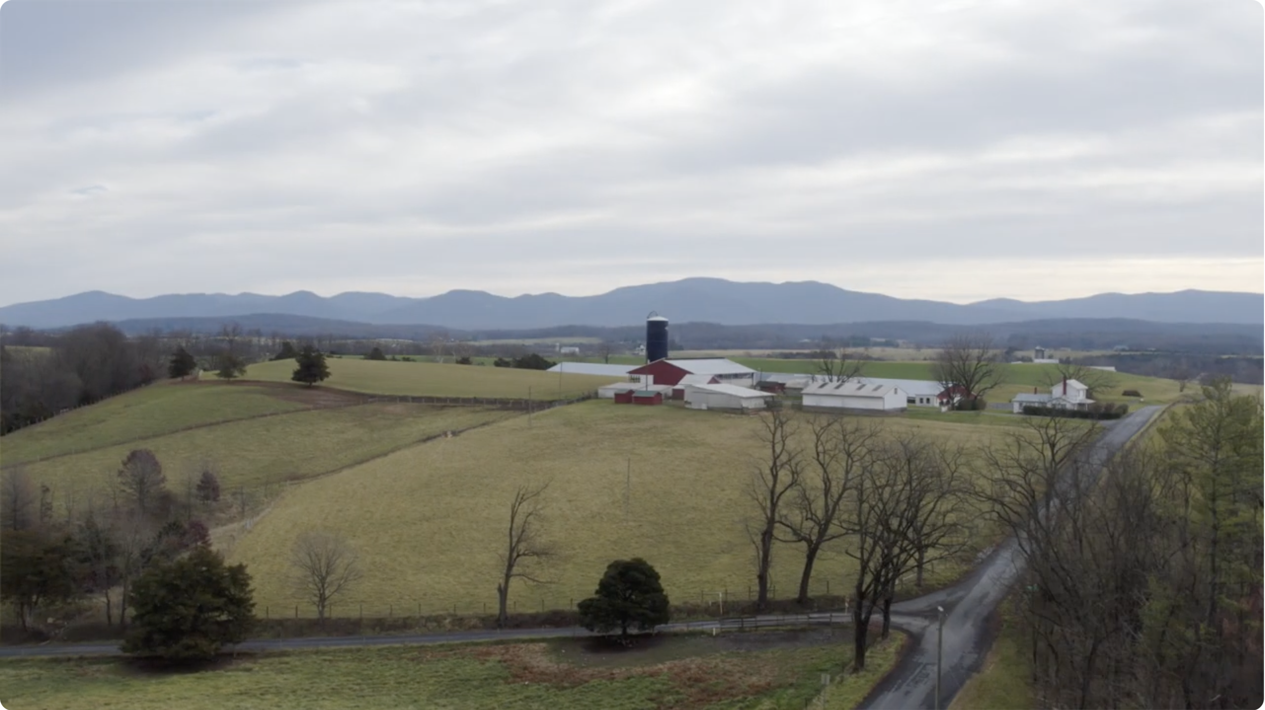
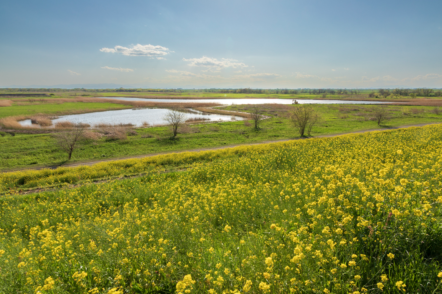
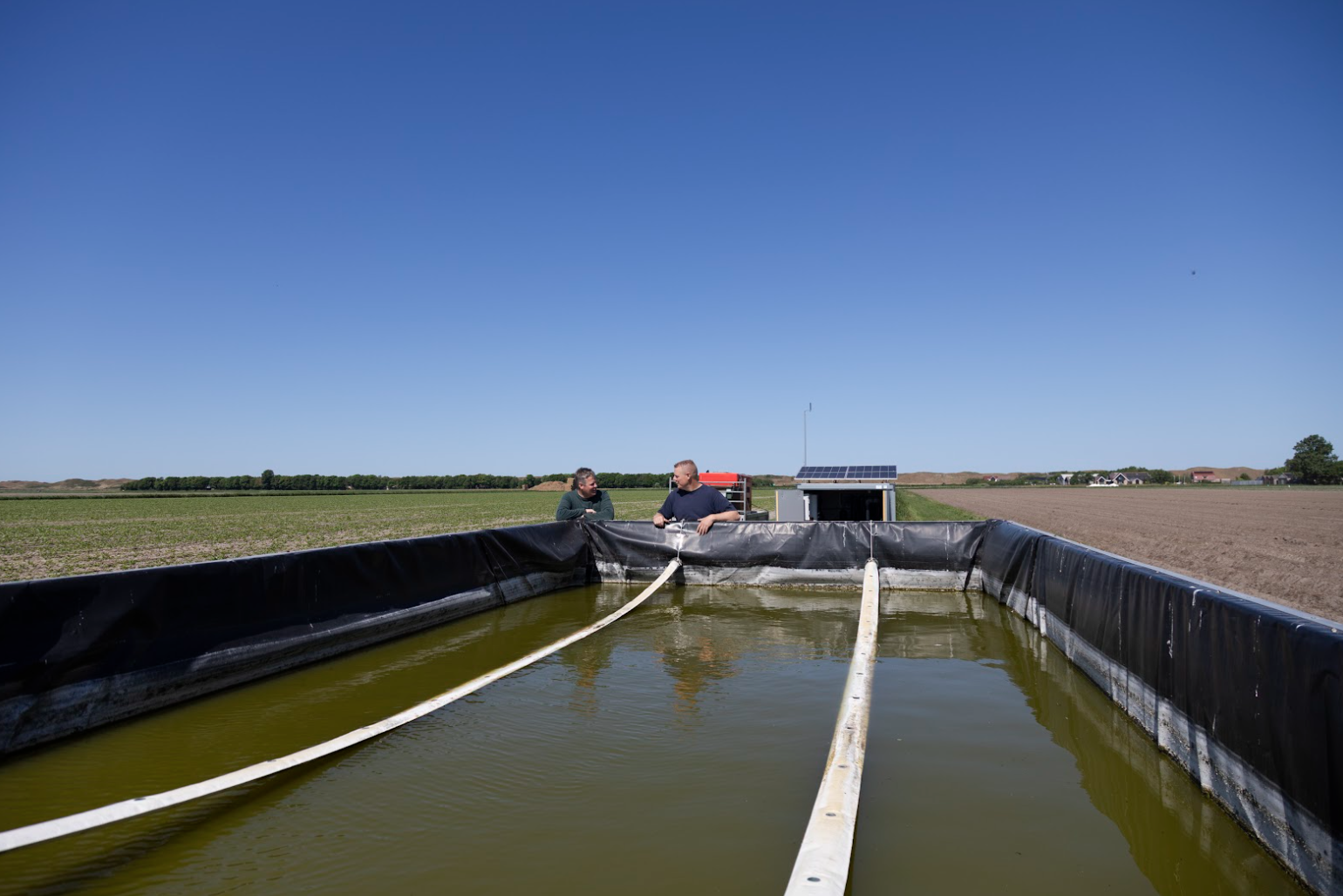
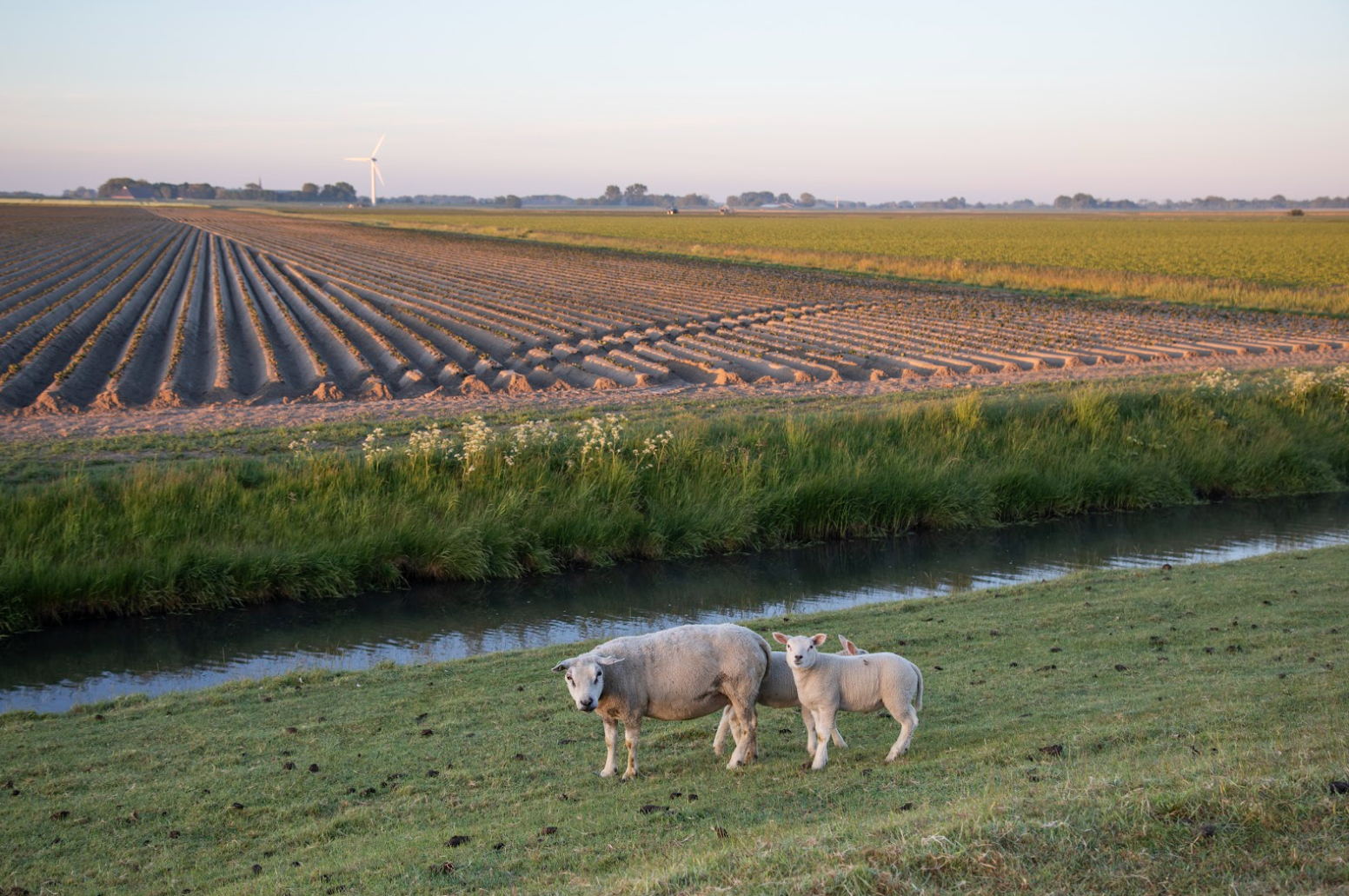
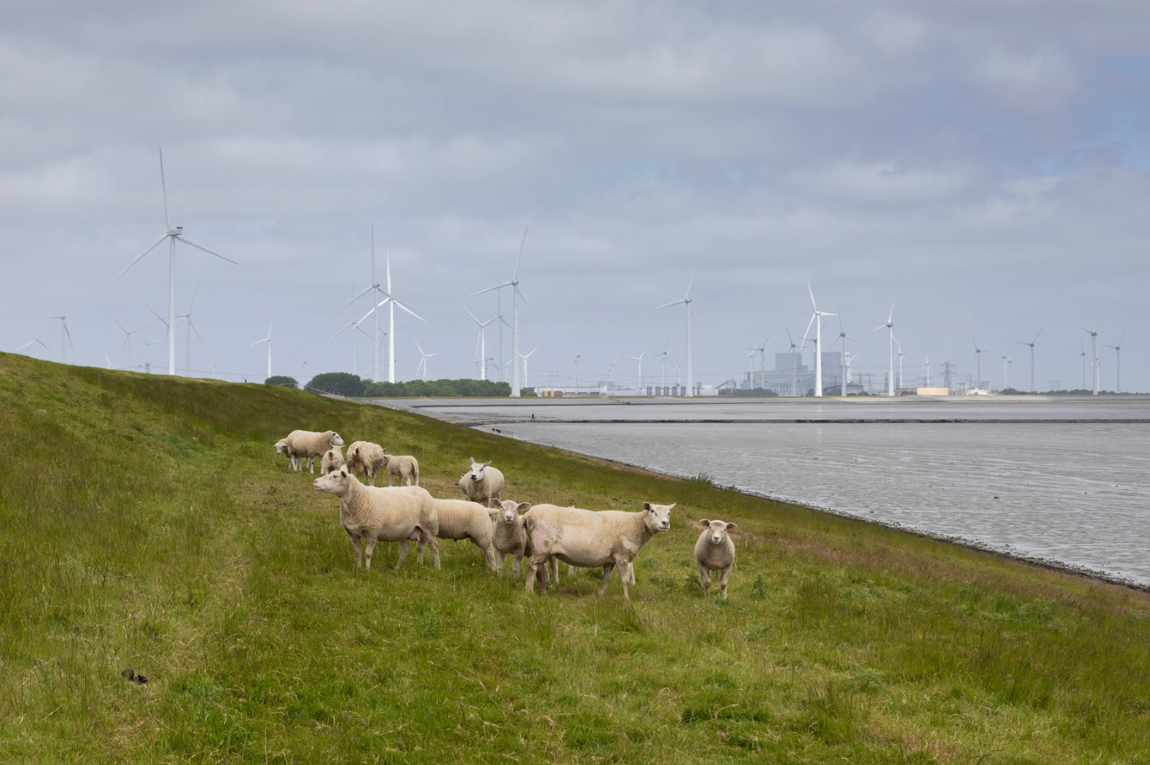
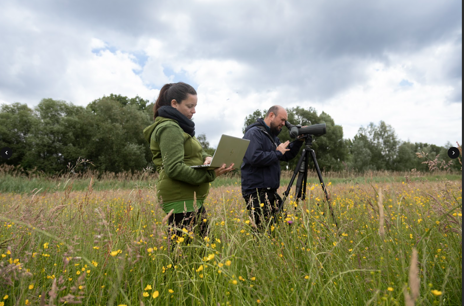
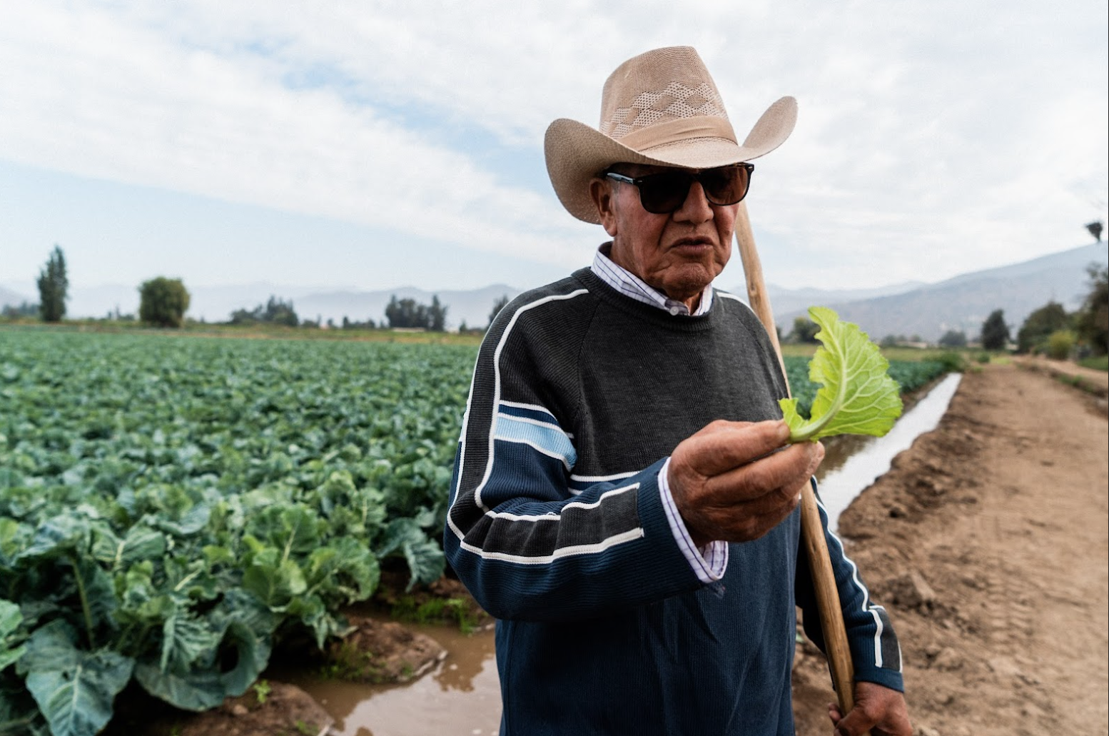
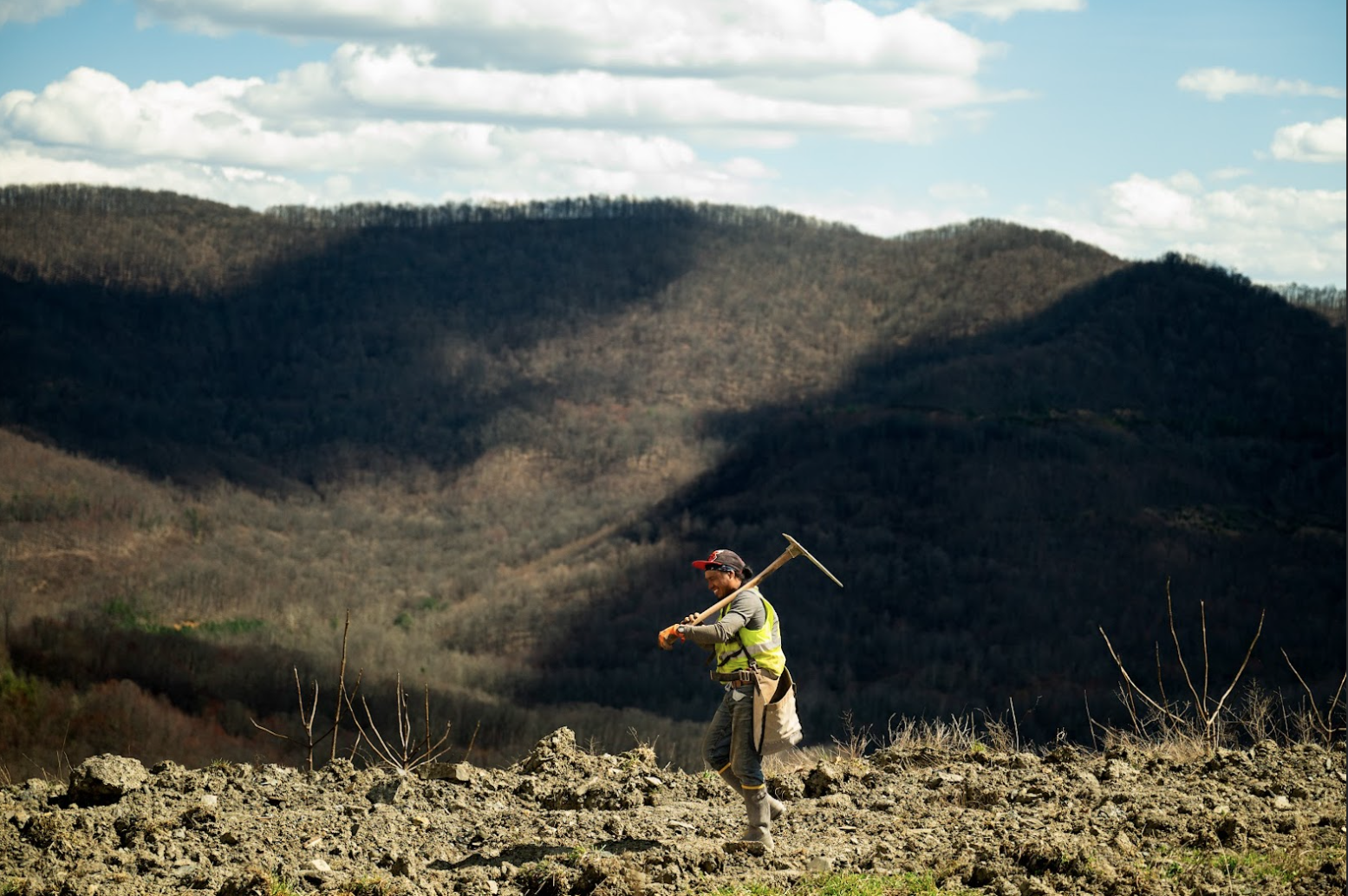
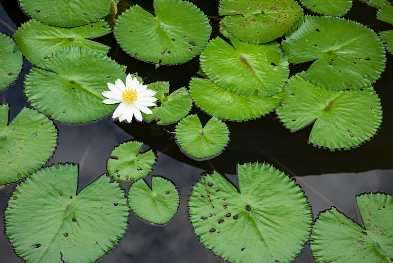
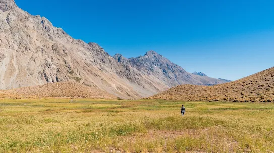
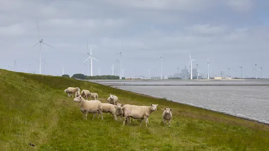
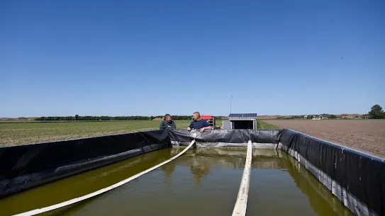
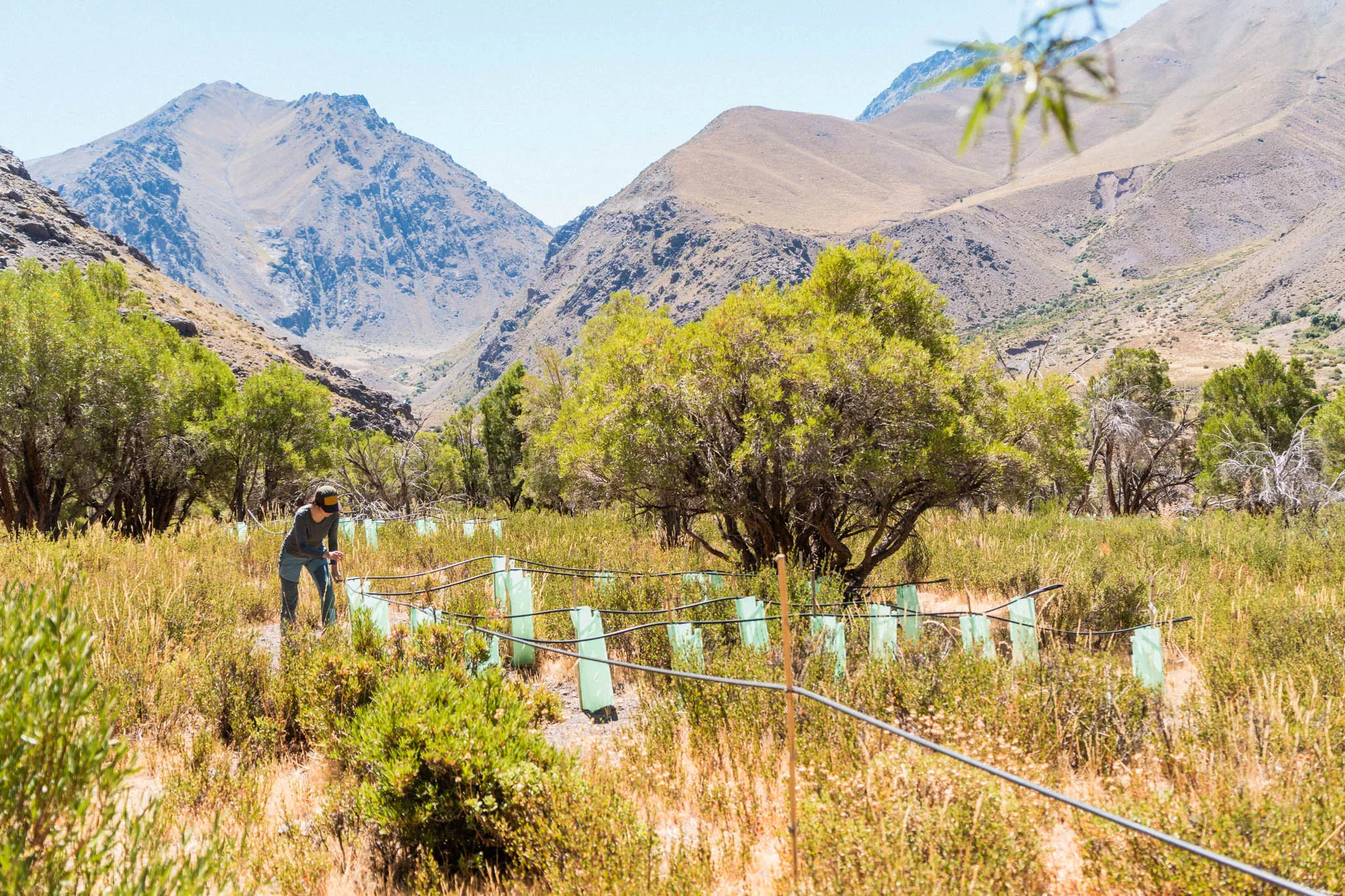
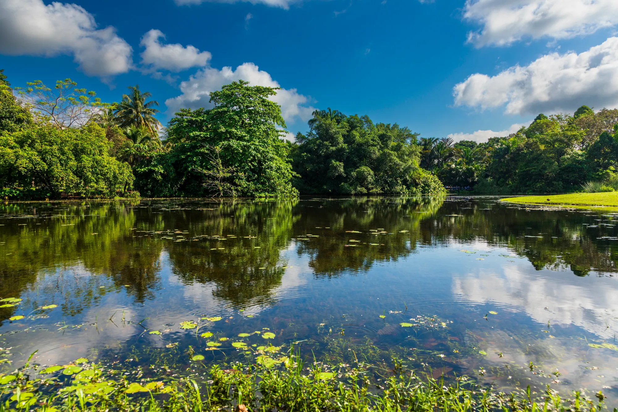
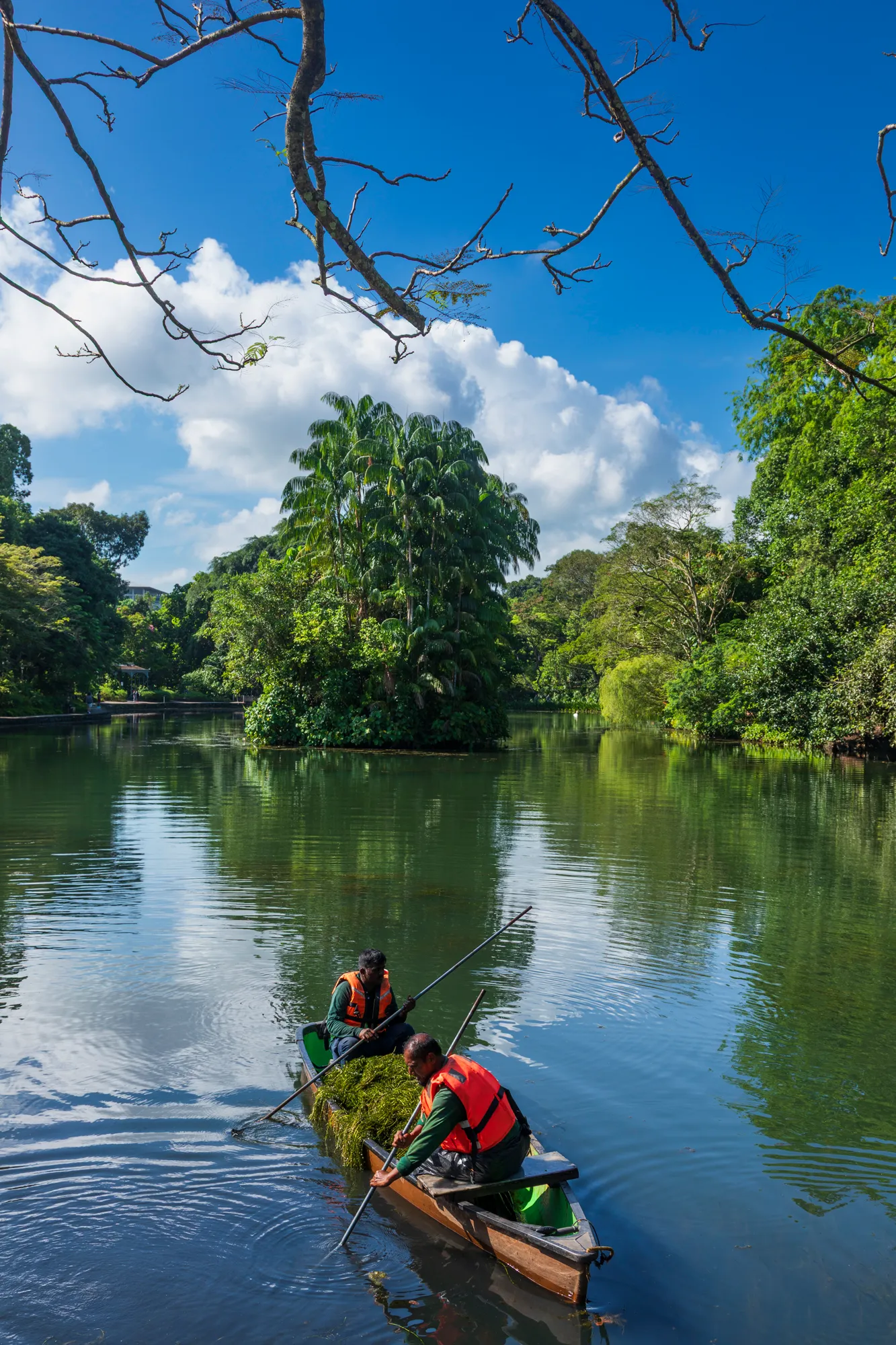
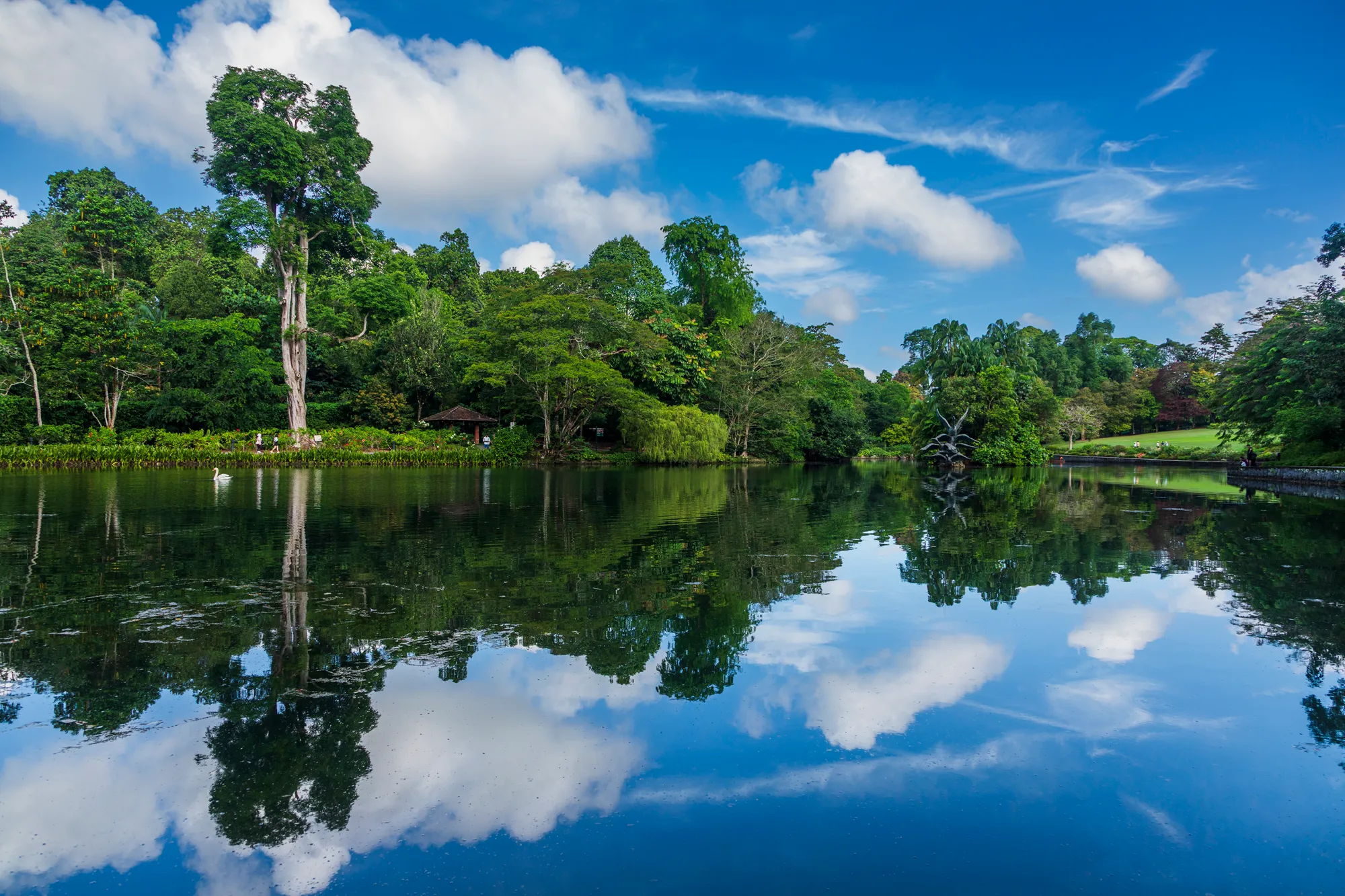
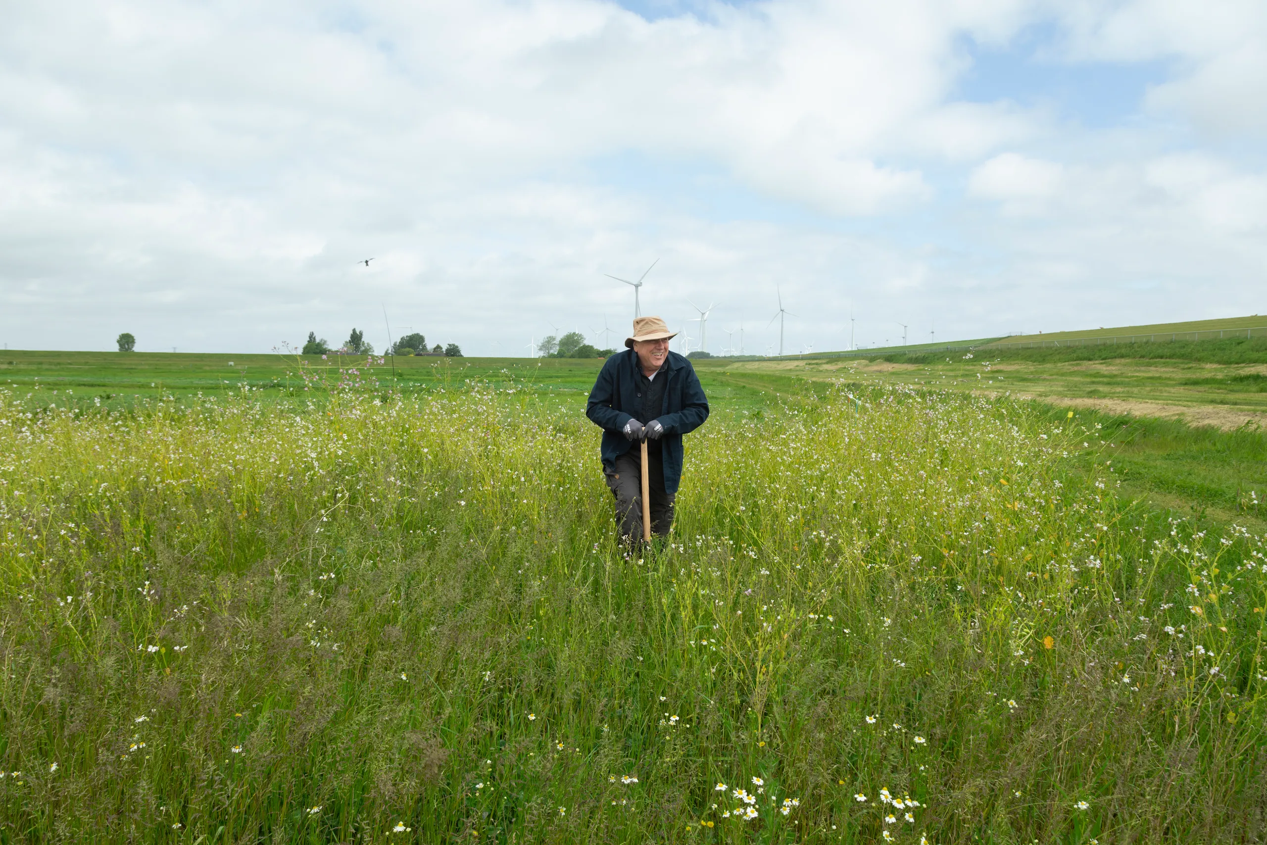
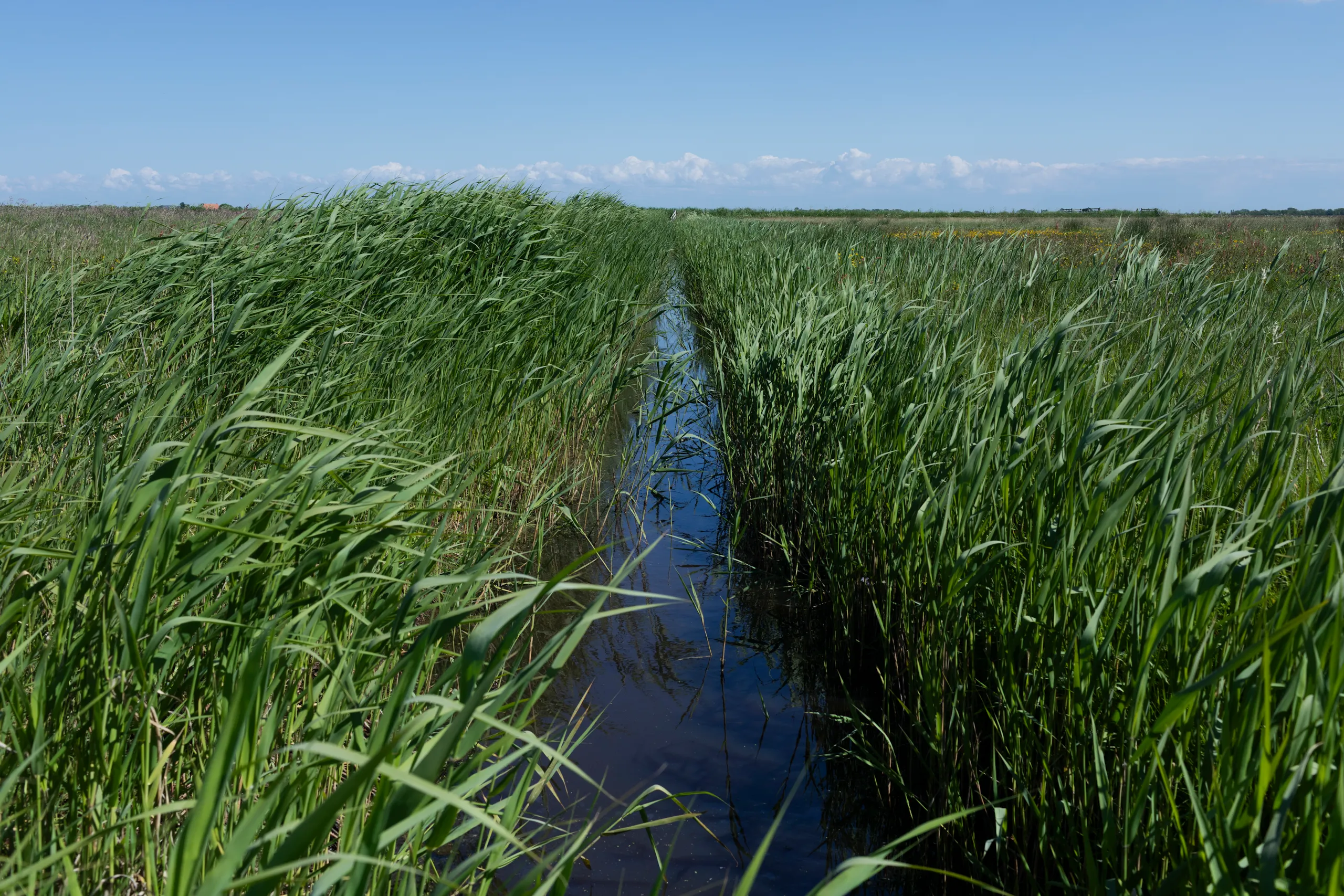
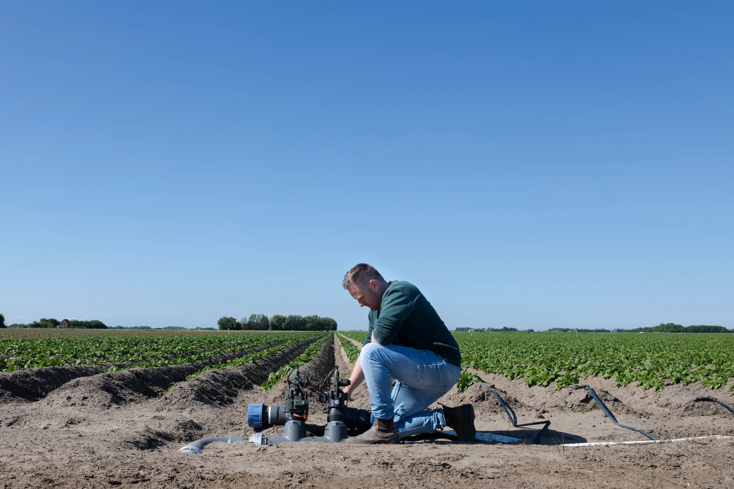
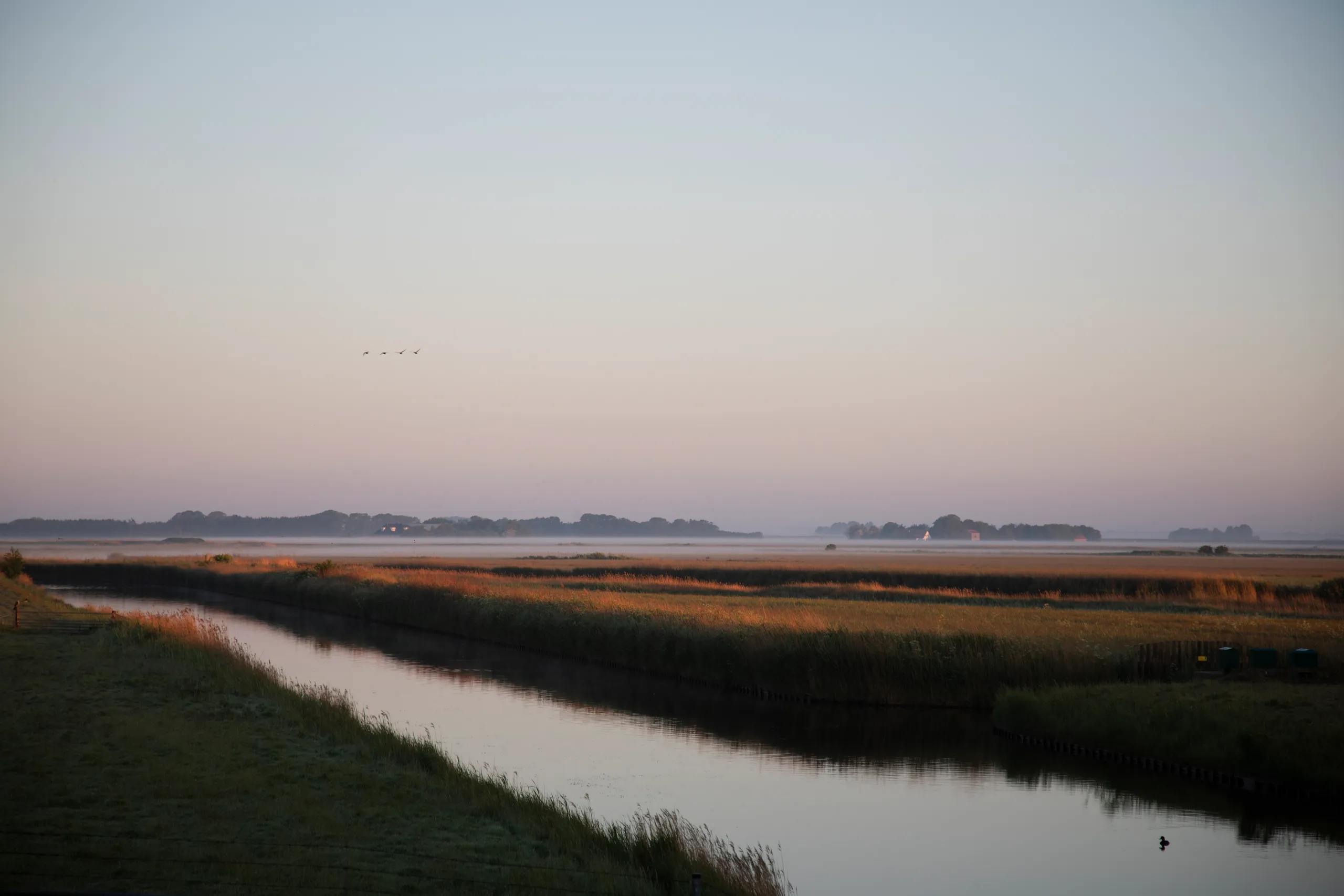
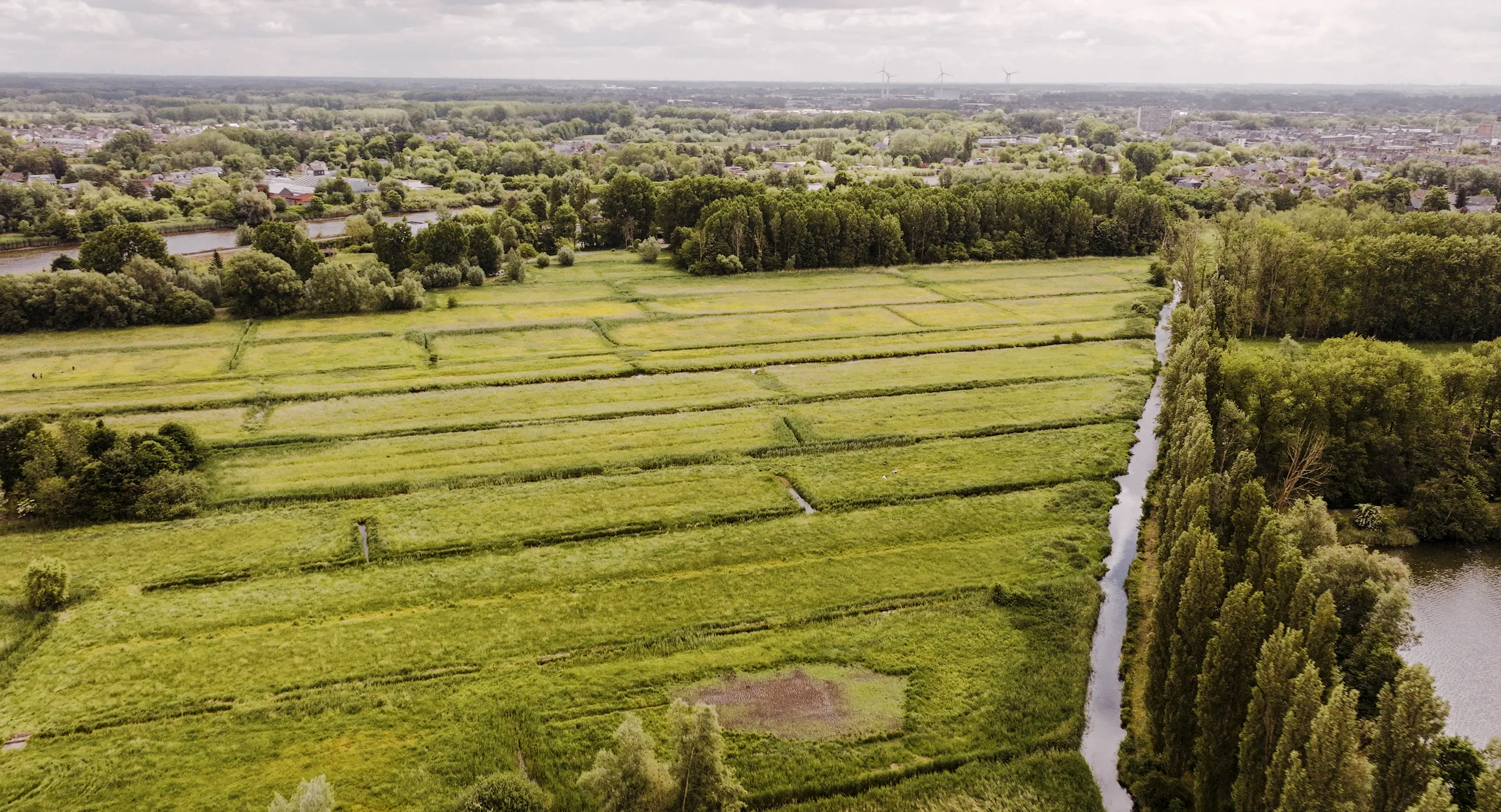
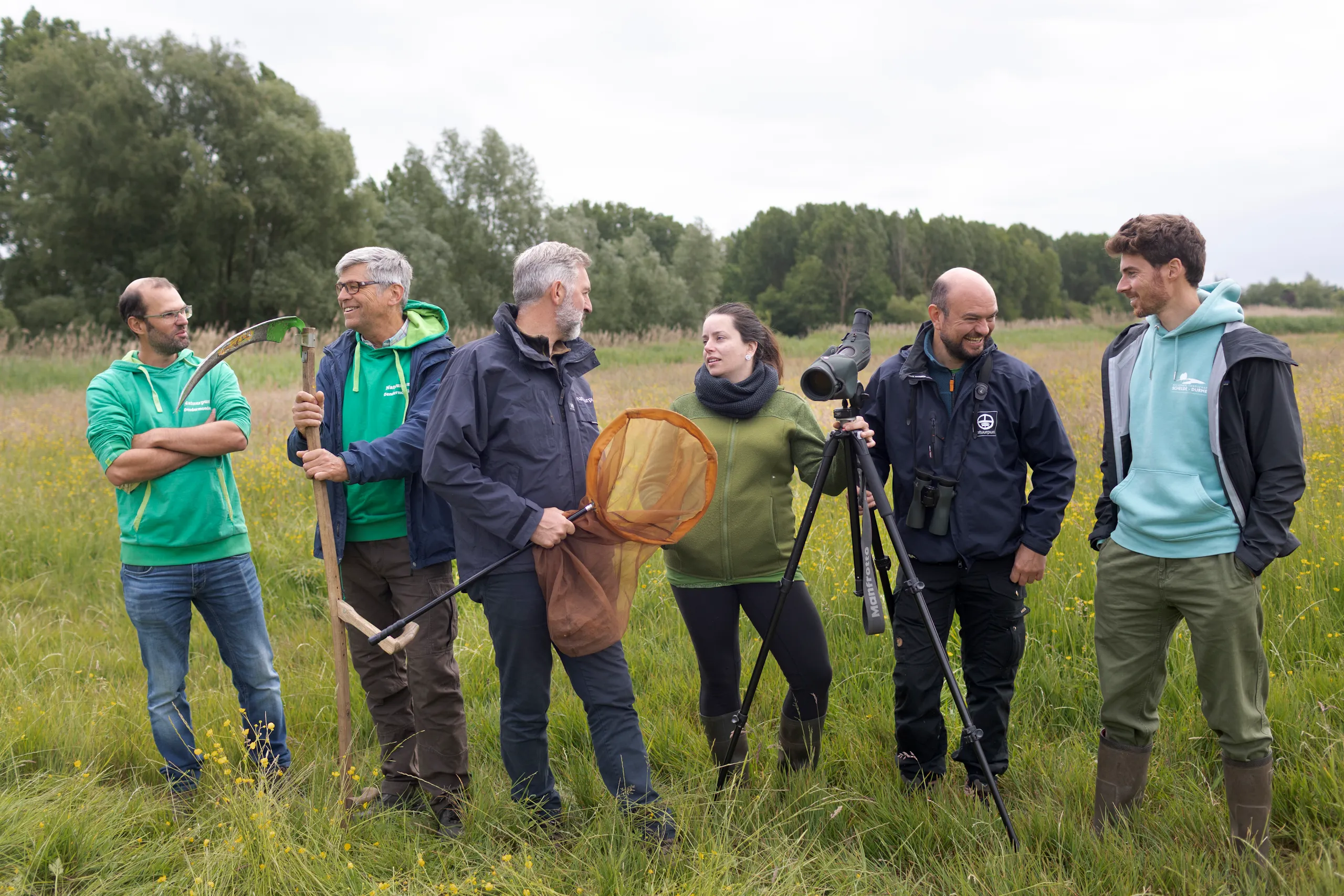
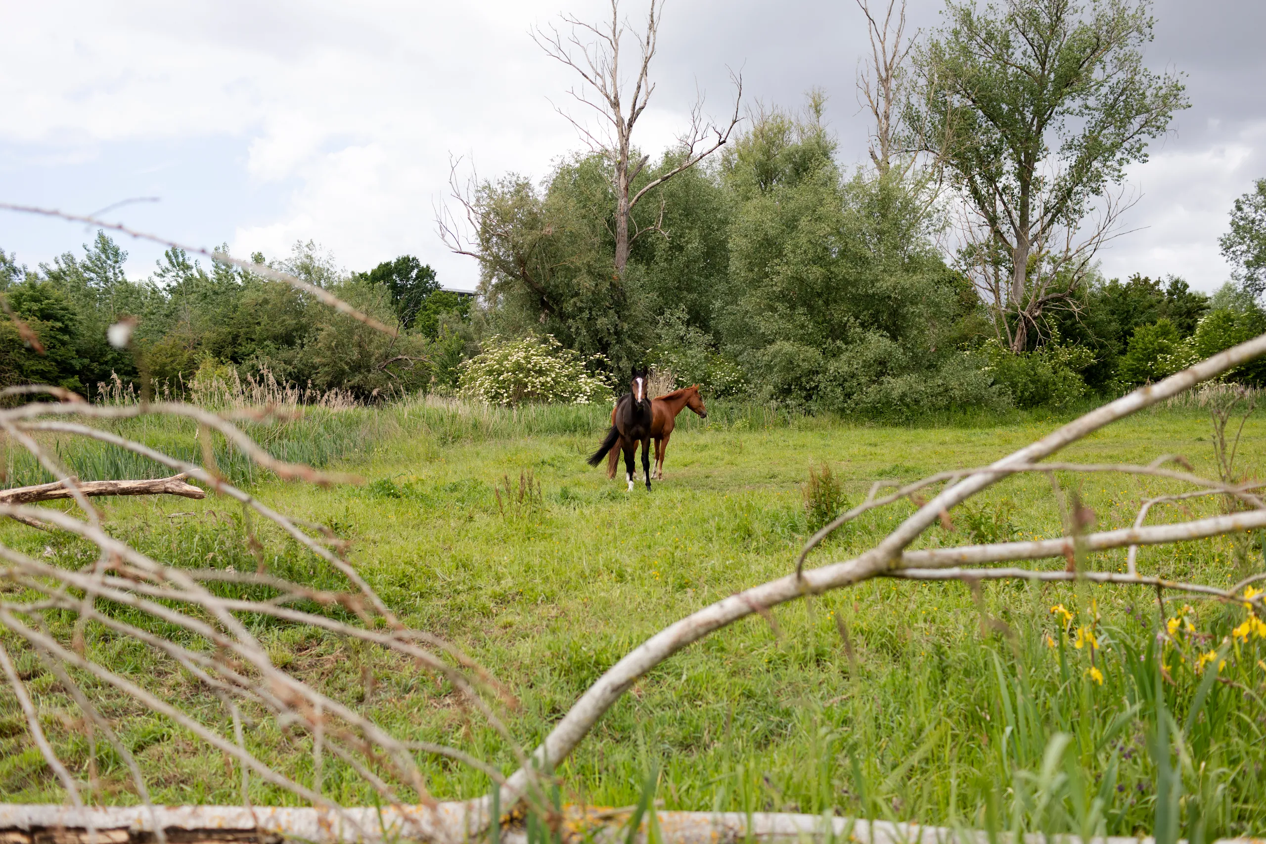
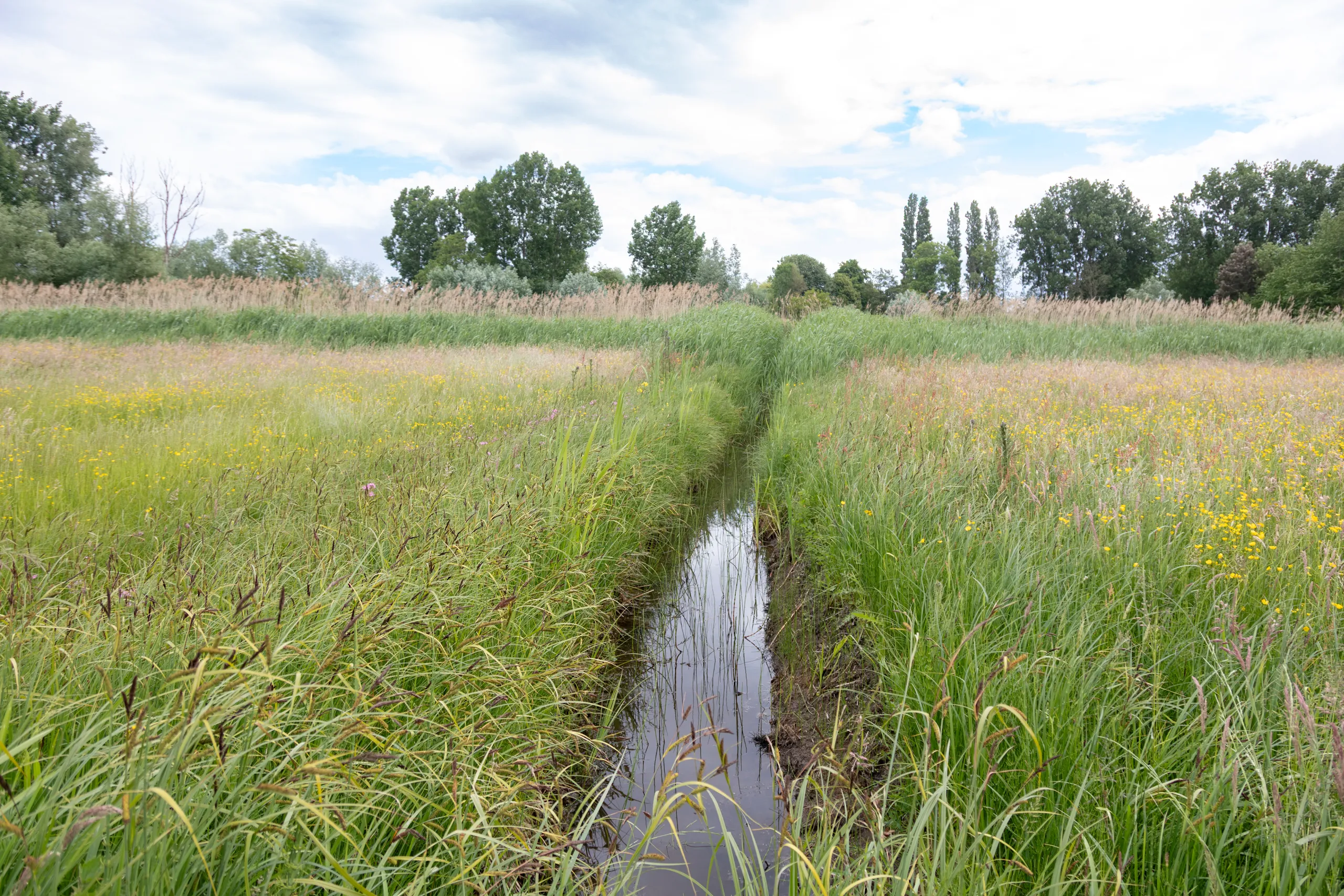
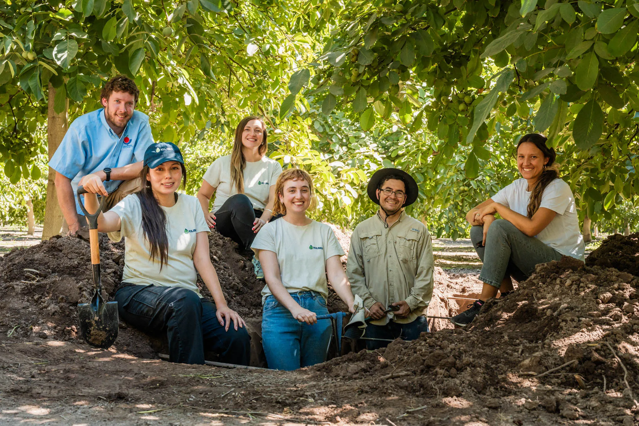
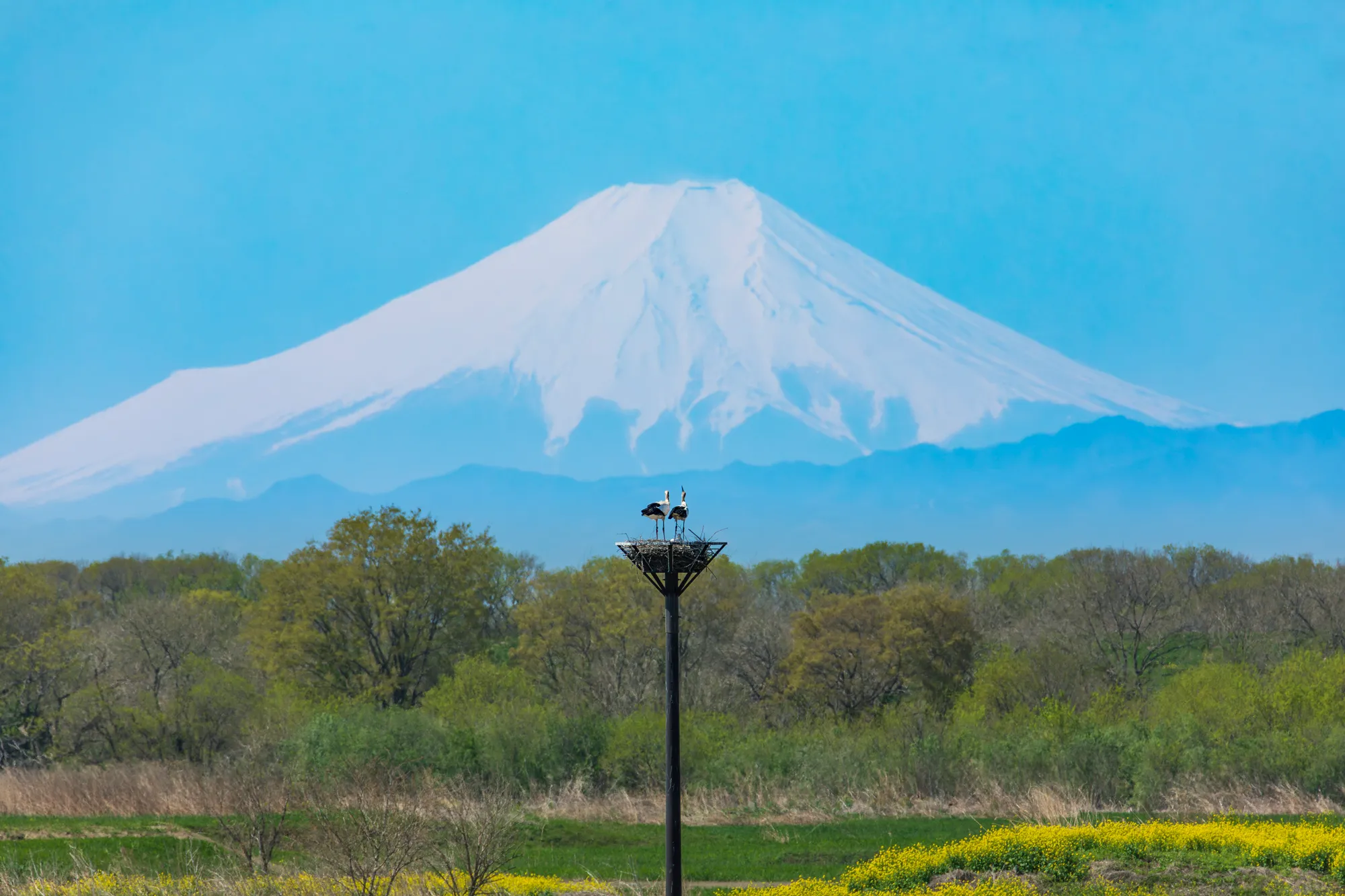
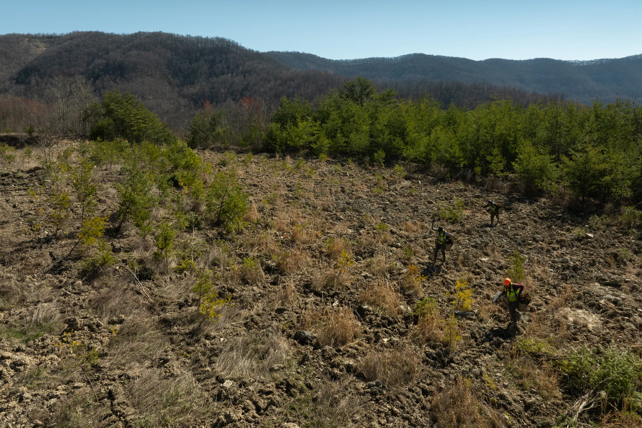
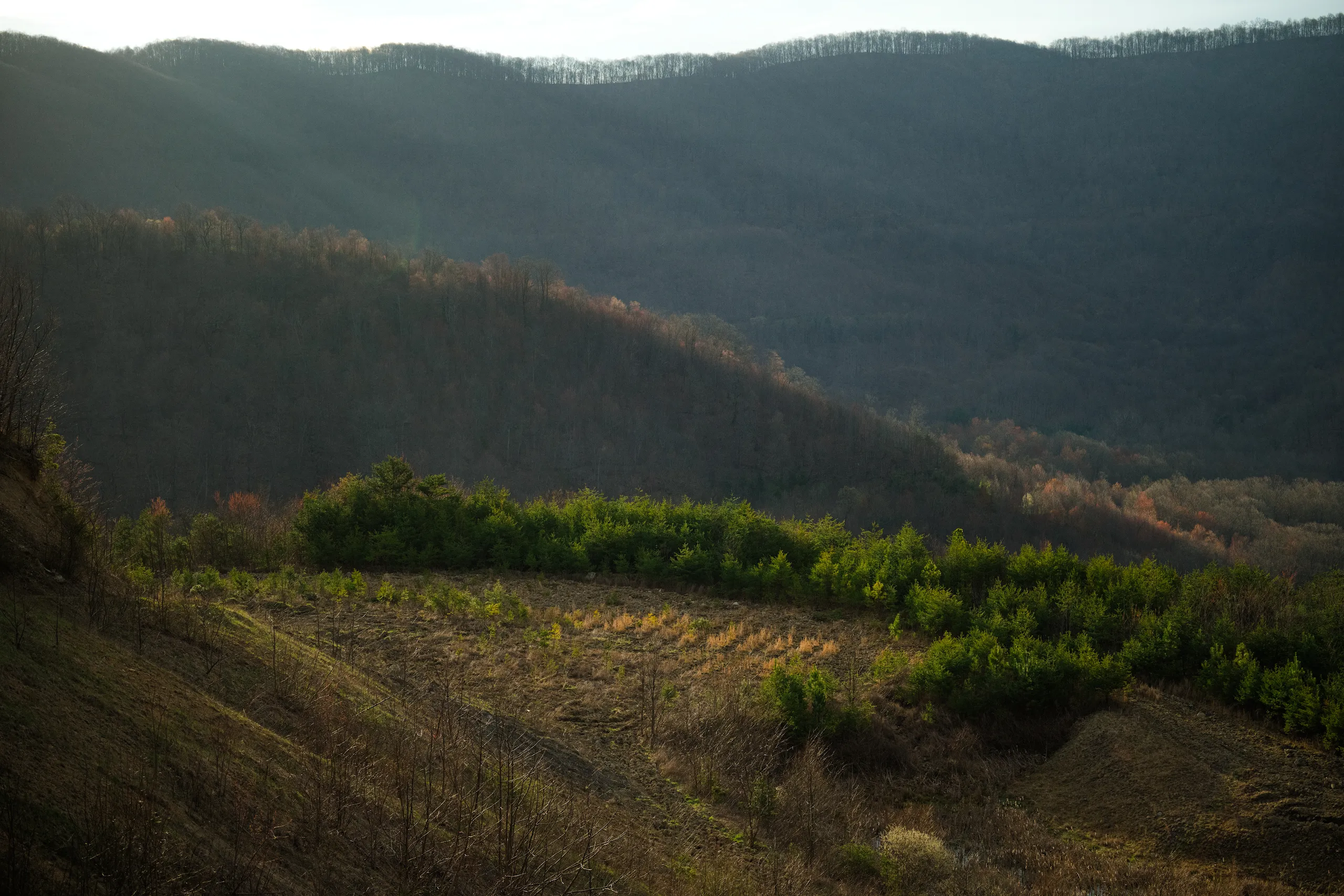
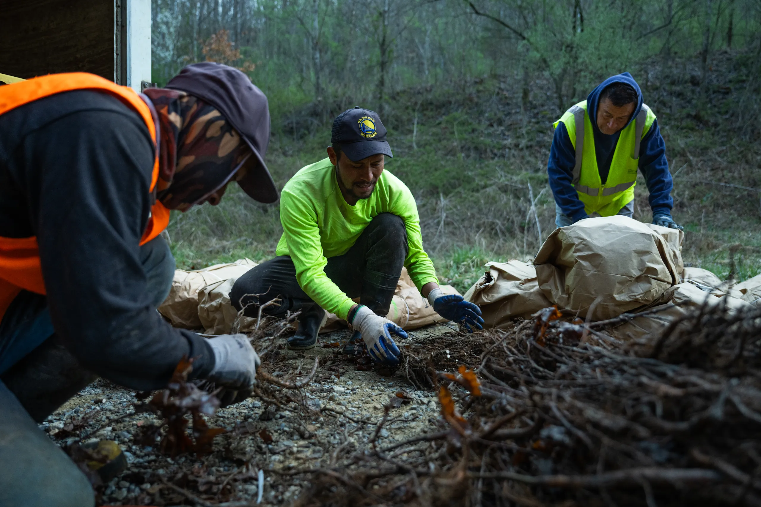
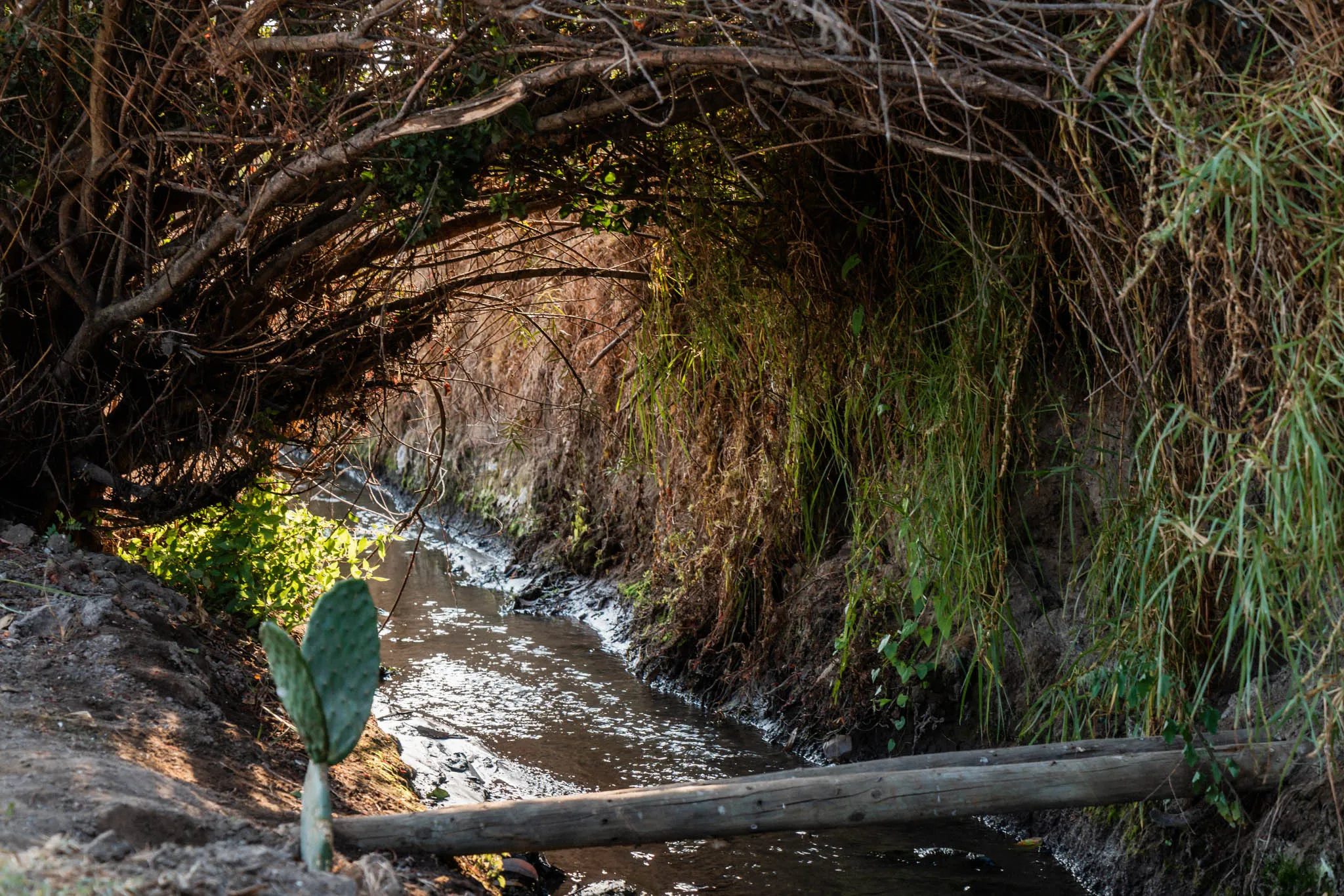
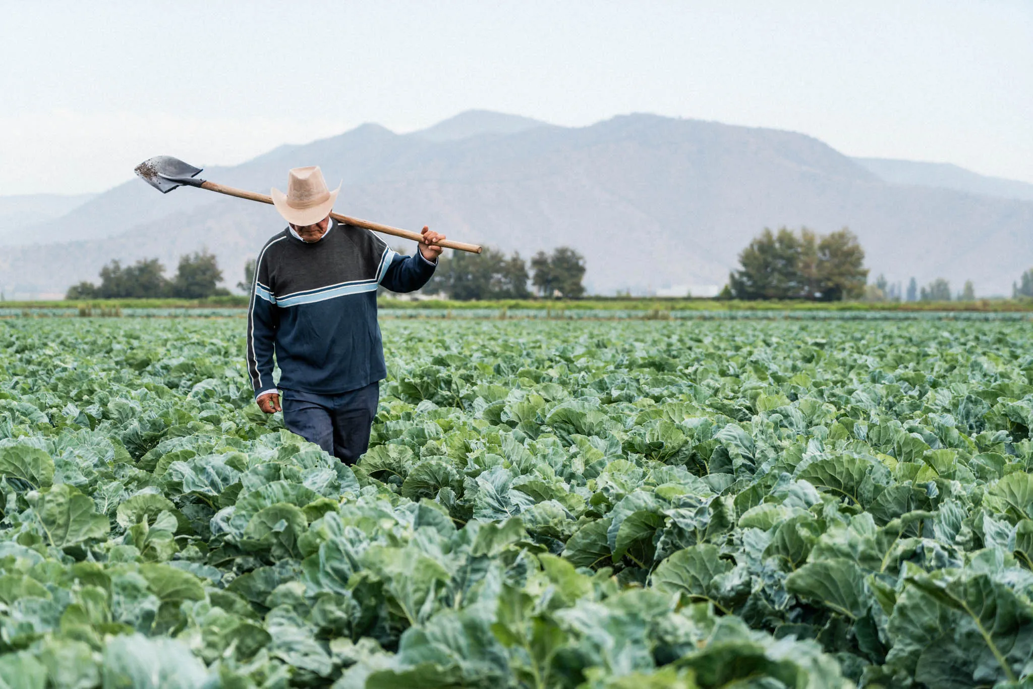
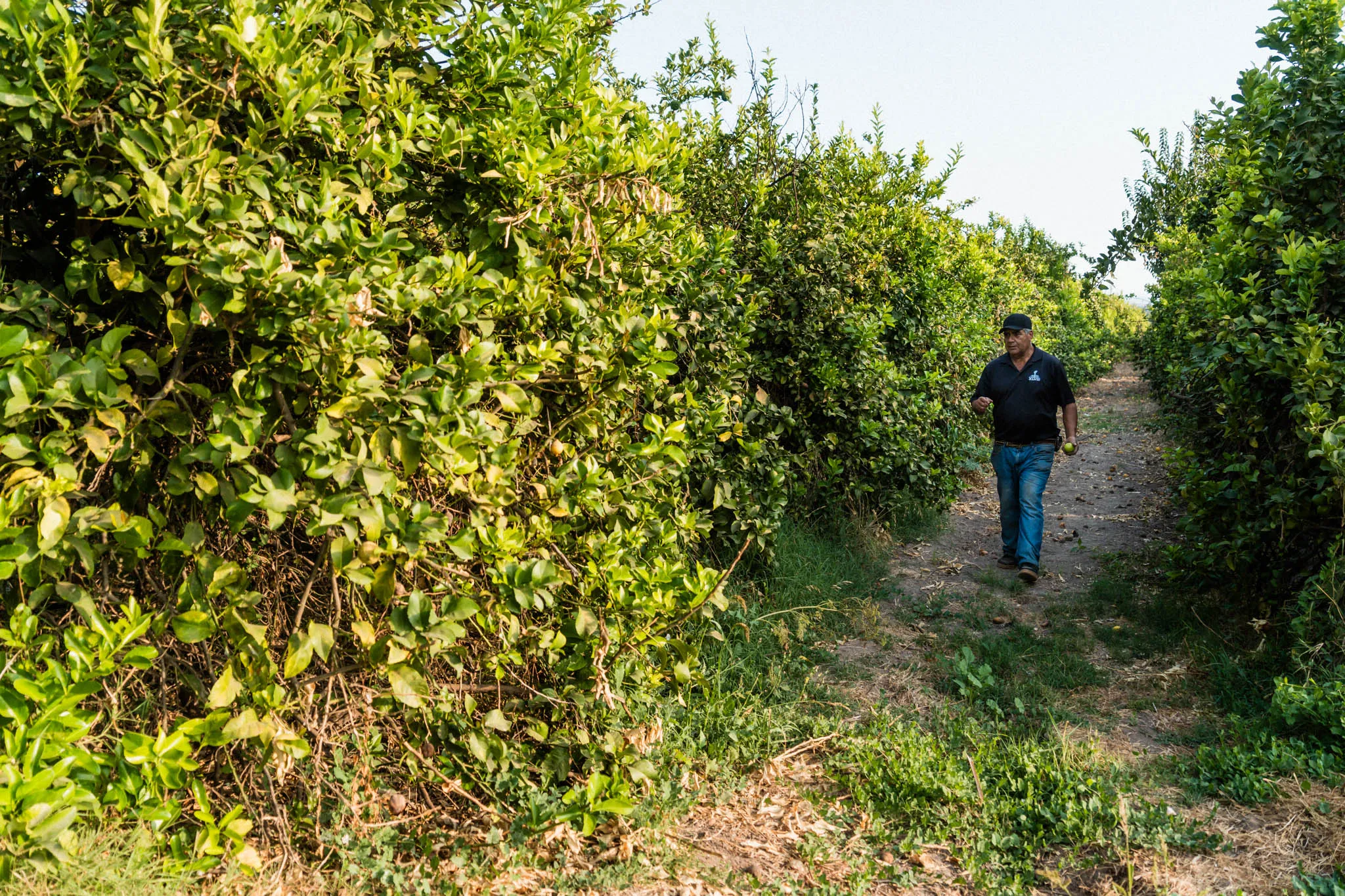
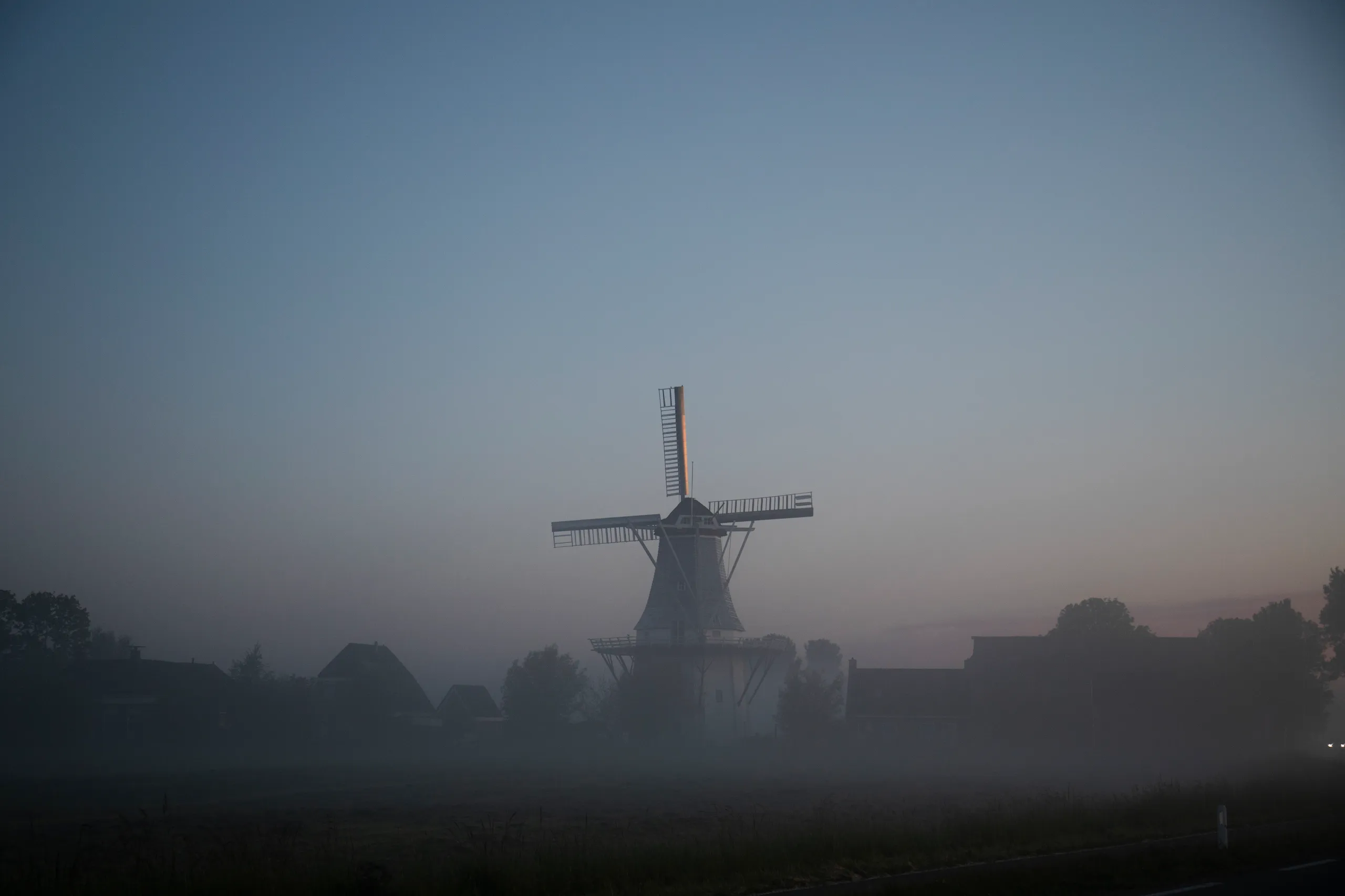
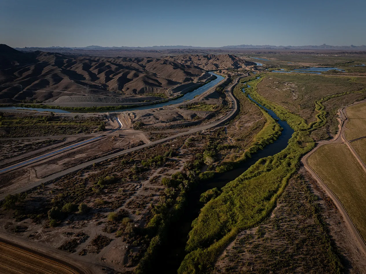
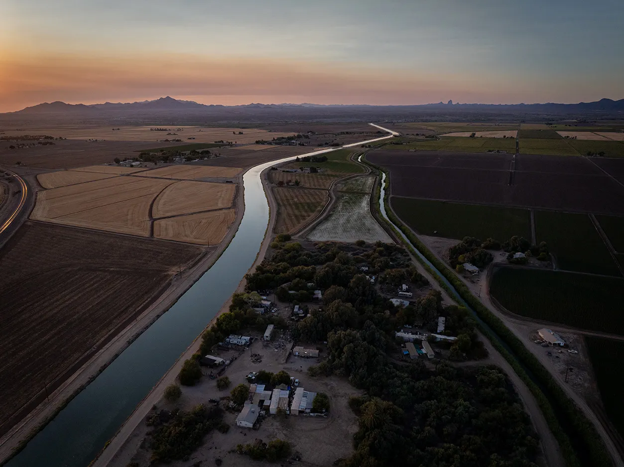
{ "location": "ミード湖での節水", "latitude": 33.934231, "longitude": -114.52563, "inDevelopment": false, "continentFeatured": false, "topicsFeatured":[], "eyebrow": "", "shortDescription": "Google は、コロラド川インディアン部族との水リース契約に資金を提供し、2020 年から 2022 年にかけてミード湖に年間 50,000 エーカーフィートの水を残して、水位の安定化を支援しました。", "featuredImage": {}, "detailPage": "https://www.gstatic.com/marketing-cms/85/96/8d03b5cd462ea209d060124e0d5e/colorado-indian-tribes-one-pager-march-10-2023.pdf", "linkText": "詳細", "continent": "Colorado River Watershed ", "topics": ["Water Supply Reliability"], "calloutBlocks":[]},{ "location": "サウスカロライナ州チャールストンの湿地の再接続", "latitude": 32.830558, "longitude": -80.053462, "inDevelopment": false, "continentFeatured": false, "topicsFeatured":[], "eyebrow": "", "shortDescription": "The Nature Conservancy は、チャーチ川流域の約 20 エーカーの氾濫原湿地を再びつなげることで、生態系を回復させ、より自然な洪水対策をチャールストン市に提案しました。", "featuredImage": {}, "detailPage": "https://www.gstatic.com/marketing-cms/57/fa/0881bc7d4f2f88dc5d3773205582/church-creek-restoration-project.pdf", "linkText": "詳細", "continent": "Church Creek Watershed ", "topics": ["Aquatic Habitat Restoration"], "calloutBlocks":[]},{ "location": "サウスカロライナ州での大王松林再生のための計画的野焼き", "latitude": 33.077812, "longitude": -79.774901, "inDevelopment": false, "continentFeatured": false, "topicsFeatured":[], "eyebrow": "", "shortDescription": "The Nature Conservancy は、フランシス マリオン国立森林公園で 40,000 エーカー以上の大王松林を再生して管理し、水の消費量が多い樹木の侵入を防ぎました。これにより、山火事や水ストレスの影響を受けにくくなり、森林の健全性も改善されています。", "featuredImage": {}, "detailPage": "https://www.gstatic.com/marketing-cms/b6/bf/d8eef82747bea4727974d7394cde/longleaf-pine-restoration-in-south-carolina.pdf", "linkText": "詳細", "continent": "Cooper River Watershed", "topics": ["Land Conservation and Restoration"], "calloutBlocks":[]},{ "location": "サウスカロライナ州の大王松林の保全地役権", "latitude": 33.077812, "longitude": -79.754901, "inDevelopment": false, "continentFeatured": false, "topicsFeatured":[], "eyebrow": "", "shortDescription": "The Nature Conservancy は、土地信託パートナーと協力して、フランシス マリオン国立森林公園の保護とレジリエンス確保のために、500 エーカー以上の未開発の生態系を戦略的に買収しました。", "featuredImage": {}, "detailPage": "https://www.gstatic.com/gumdrop/sustainability/2025-google-water-stewardship-project-portfolio.pdf#page=25", "linkText": "詳細", "continent": "Cooper River Watershed", "topics": ["Land Conservation and Restoration"], "calloutBlocks":[]},{ "location": "アリゾナ州西部での灌漑用水路のライニング", "latitude": 33.93333, "longitude": -114.433333, "inDevelopment": false, "continentFeatured": false, "topicsFeatured":[], "eyebrow": "", "shortDescription": "コロラド川インディアン部族(CRIT)は、アリゾナ州西部の水漏れする灌漑用水路を改修しました。これにより、コロラド川から農地への給水中に失われる水量が削減されます。", "featuredImage": {}, "detailPage": "https://www.gstatic.com/marketing-cms/85/96/8d03b5cd462ea209d060124e0d5e/colorado-indian-tribes-one-pager-march-10-2023.pdf", "linkText": "詳細", "continent": "Lower Colorado River Watershed", "topics": ["Water Supply Reliability"], "calloutBlocks":[]},{ "location": "アンデス山脈における湿地の回復と改善", "latitude": -33.6063062656664, "longitude": -69.9957458225781, "inDevelopment": true, "continentFeatured": false, "topicsFeatured":[], "eyebrow": "", "shortDescription": "The Nature Conservancy Chile は、チリのアンデス山脈のマイポ川流域で、気候変動、干ばつ、農業活動によって劣化した 70 ヘクタール以上の湿地帯の回復と改善に取り組んでいます。", "featuredImage":{ "path": "37/84/7ee75ca3453c8f5df6480d5d0e47/wetland-restoration-and-enhancement-in-the-andes-mountains.jpg", "width": 2048, "height": 1365 } , "detailPage": "https://www.gstatic.com/marketing-cms/6c/a7/d33e54514fada9fbdead3f443322/maipo-basin-high-andes-wetlands-project.pdf", "linkText": "詳細", "continent": "Yeso and Maipo Alto Basins", "topics": ["Aquatic Habitat Restoration"], "calloutBlocks":[]},{ "location": "チリのマイポ川流域における精密灌漑", "latitude": -33.225152, "longitude": -70.704189, "inDevelopment": true, "continentFeatured": false, "topicsFeatured":[], "eyebrow": "", "shortDescription": "チリのマイポ川流域では、Kilimo の精密灌漑技術の利用を奨励することで、農家が水の使用を最適化して水不足に対処するとともに、水生生態系を保護できるよう支援しています。このプロジェクトは、二酸化炭素排出量の削減と農業生産性の向上にも貢献しています。", "featuredImage":{ "path": "4c/21/404ce718405e98504366ab9f09af/precision-irrigation-in-chiles-maipo-river-basin.png", "width": 1553, "height": 1031 } , "detailPage": "https://youtu.be/rbhkVNWq_uY", "linkText": "動画を見る", "continent": "Maipo River Watershed", "topics": ["Water Supply Reliability"], "calloutBlocks":[]},{ "location": "Alliance for the Chesapeake Bay との河畔緩衝林の整備", "latitude": 38.251, "longitude": -78.893, "inDevelopment": false, "continentFeatured": false, "topicsFeatured":[], "eyebrow": "", "shortDescription": "チェサピーク湾流域の水質の保護と回復のために、Alliance for the Chesapeake Bay は、バージニア州の 5 つの農場に河畔緩衝林を整備しました。農場の境界にこうした緩衝林を置くことで、農業活動からの流出水をろ過し、土壌浸食を抑制します。", "featuredImage":{ "path": "18/da/7d12ec4944d78a9456e17bfb0ced/screenshot-2025-09-01-at-7-22-17-pm.png", "width": 2510, "height": 1410 } , "detailPage": "https://www.youtube.com/watch?v=ZRznP3VPzqA", "linkText": "動画を見る", "continent": "Potomac River Watershed", "topics": ["Water Quality"], "calloutBlocks":[]},{ "location": "ネバダ州で芝生を水効率の高い造園植物に転換", "latitude": 36.0394985402106, "longitude": -114.982272553592, "inDevelopment": true, "continentFeatured": false, "topicsFeatured":[], "eyebrow": "", "shortDescription": "ヘンダーソン市は、水の消費量が多い芝生を水効率の高い造園植物に変える顧客にリベートを提供し、干ばつの影響を受けたミード湖地域での節水を促進しています。", "featuredImage": {}, "detailPage": "https://www.gstatic.com/gumdrop/sustainability/2025-google-water-stewardship-project-portfolio.pdf#page=19", "linkText": "詳細", "continent": "Lower Colorado River Watershed", "topics": ["Water Supply Reliability"], "calloutBlocks":[]},{ "location": "ラスベガスでの芝生から乾式庭園への転換", "latitude": 36.275279768009, "longitude": -115.138075584653, "inDevelopment": false, "continentFeatured": false, "topicsFeatured":[], "eyebrow": "", "shortDescription": "ラスベガス市は、Dula コミュニティ センターの 22,500 平方フィート以上の芝生を、砂漠に適した植物と点滴灌漑システムを使用した庭園に転換し、水の使用量を削減しました。", "featuredImage": {}, "detailPage": "https://www.gstatic.com/gumdrop/sustainability/2025-google-water-stewardship-project-portfolio.pdf#page=19", "linkText": "詳細", "continent": " Lower Colorado River Watershed", "topics": ["Water Supply Reliability"], "calloutBlocks":[]},{ "location": "ザ ダルズ市営流域の再生", "latitude": 45.5141768278005, "longitude": -121.33775128696, "inDevelopment": false, "continentFeatured": false, "topicsFeatured":[], "eyebrow": "", "shortDescription": "オレゴン州のザ ダルズ市は、2013 年に山火事で焼失した 150 エーカー以上の市営流域に再植林しました。これは、水質を改善し、清潔で豊富な水を市に供給する役に立ちます。", "featuredImage": {}, "detailPage": "https://www.gstatic.com/gumdrop/sustainability/2025-google-water-stewardship-project-portfolio.pdf#page=22", "linkText": "詳細", "continent": "The Dalles Municipal Watershed", "topics": ["Land Conservation and Restoration"], "calloutBlocks":[]},{ "location": "オレゴン州でのスマート灌漑", "latitude": 45.6025654489892, "longitude": -121.20217736196, "inDevelopment": true, "continentFeatured": false, "topicsFeatured":[], "eyebrow": "", "shortDescription": "ワスコ郡土壌および水保全地区は、ザ ダルズに効率的な灌漑システムを導入し、水の保全に役立てています。", "featuredImage": {}, "detailPage": "https://www.gstatic.com/gumdrop/sustainability/2025-google-water-stewardship-project-portfolio.pdf#page=22", "linkText": "詳細", "continent": "Mill Creek Watershed", "topics": ["Water Supply Reliability"], "calloutBlocks":[]},{ "location": "オレゴン州の用水路の改善", "latitude": 45.6122412911787, "longitude": -121.51090528099, "inDevelopment": true, "continentFeatured": false, "topicsFeatured":[], "eyebrow": "", "shortDescription": "イースト フォーク灌漑地区は、部族、州、連邦の組織と連携して開渠用水路をパイプライン システム化し、水の損失を大幅に削減して、水供給のレジリエンス、生息環境、水質を改善しています。", "featuredImage": {}, "detailPage": "https://www.gstatic.com/gumdrop/sustainability/2025-google-water-stewardship-project-portfolio.pdf#page=23", "linkText": "詳細", "continent": "East Fork Hood River Watershed", "topics": ["Water Supply Reliability"], "calloutBlocks":[]},{ "location": "コロラド川下流域における水需要の削減", "latitude": 36.1572483626863, "longitude": -114.412734619026, "inDevelopment": true, "continentFeatured": false, "topicsFeatured":[], "eyebrow": "", "shortDescription": "Google は、水のリース、作物切り替え契約、灌漑インフラの改善、部族の所有地における居住環境の改善を通じて、コロラド川下流域における水の需要を削減するイニシアチブを支援しています。このイニシアチブは、回転基金を通じて開拓局からの支援を促すことも目的としています。", "featuredImage": {}, "detailPage": "https://www.gstatic.com/gumdrop/sustainability/2025-google-water-stewardship-project-portfolio.pdf#page=15", "linkText": "詳細", "continent": "Lower Colorado River Basin ", "topics":[], "calloutBlocks":[]},{ "location": "テキサス州東部での大王松林の再生", "latitude": 30.876165, "longitude": -95.207242, "inDevelopment": true, "continentFeatured": false, "topicsFeatured":[], "eyebrow": "", "shortDescription": "Texas Longleaf Team は、2,000 エーカーの大王松林を再生しています。大王松林は、従来の生産林業よりも効果的に水を捕捉してろ過します。テキサス州東部でのこの再生により、干ばつ、害虫や病気、山火事に対する生態系のレジリエンスが向上します。", "featuredImage": {}, "detailPage": "https://www.gstatic.com/gumdrop/sustainability/2025-google-water-stewardship-project-portfolio.pdf#page=26", "linkText": "詳細", "continent": "Trinity River Watershed", "topics": ["Land Conservation and Restoration"], "calloutBlocks":[]},{ "location": "ペイントロック川の河岸の安定化", "latitude": 34.699668, "longitude": -86.309044, "inDevelopment": true, "continentFeatured": false, "topicsFeatured":[], "eyebrow": "", "shortDescription": "The Nature Conservancy(TNC)は、ペイントロック川流域の 3 か所の河岸を再生して安定化させ、川が歴史的な氾濫原と再びつながるようにしました。TNC はまた、生物多様性を保護するために、ジャクソン郡で約 198 エーカーにわたる保護地役権を取得しています。", "featuredImage": {}, "detailPage": "https://www.gstatic.com/gumdrop/sustainability/2025-google-water-stewardship-project-portfolio.pdf#page=4", "linkText": "詳細", "continent": "Paint Rock River Watershed", "topics": ["Aquatic Habitat Restoration"], "calloutBlocks":[]},{ "location": "アンデス山脈における湿地と森林の保護", "latitude": -34.0812311134161, "longitude": -70.091662132512, "inDevelopment": true, "continentFeatured": false, "topicsFeatured":[], "eyebrow": "", "shortDescription": "The Nature Conservancy は、アンデス山脈で高地の湿地を再生させ、在来植物を再導入して、孤立した森林を再びつなげています。このプロジェクトは、マイポ川流域の水文環境、地域の生息環境、将来の水の安全を改善することを目的としています。", "featuredImage": {}, "detailPage": "https://www.gstatic.com/gumdrop/sustainability/2025-google-water-stewardship-project-portfolio.pdf#page=30", "linkText": "詳細", "continent": "Yeso and Maipo Alto Basin", "topics": ["Aquatic Habitat Restoration"], "calloutBlocks":[]},{ "location": "テキサス州全域での環境のための水取引", "latitude": 32.4432256717943, "longitude": -97.0624873532738, "inDevelopment": true, "continentFeatured": false, "topicsFeatured":[], "eyebrow": "", "shortDescription": "Google は、トリニティ川とコロラド川の上流域で、水利権のリースと再生型農業手法の導入に資金を提供しています。これらの取り組みにより、地表水の回復、河川流量の増加、テキサス州固有種の生息環境の改善を実現します。", "featuredImage": {}, "detailPage": "https://www.gstatic.com/gumdrop/sustainability/2025-google-water-stewardship-project-portfolio.pdf#page=27", "linkText": "詳細", "continent": "Upper Colorado and Upper Trinity River Basins", "topics": ["Aquatic Habitat Restoration"], "calloutBlocks":[]},{ "location": "オレゴン州での帯水層貯留回収", "latitude": 45.5426043663629, "longitude": -121.315175222861, "inDevelopment": true, "continentFeatured": false, "topicsFeatured":[], "eyebrow": "", "shortDescription": "Google は、ザ ダルズ市と協力して帯水層貯留回収プロジェクトを構築しました。このプロジェクトでは、雨期の余剰雨水を既存の帯水層にポンプで送り込みます。この水を干ばつの時期や水需要が高い時期に利用することで、都市の安定供水を強化します。", "featuredImage": {}, "detailPage": "https://www.gstatic.com/gumdrop/sustainability/2023-data-center-water-profile-the-dalles.pdf", "linkText": "詳細", "continent": "Dalles Pool Aquifer Watershed ", "topics": ["Water Supply Reliability"], "calloutBlocks":[]},{ "location": "日本における絶滅危惧種であるコウノトリの湿地生息地の回復", "latitude": 36.21697, "longitude": 139.674189, "inDevelopment": true, "continentFeatured": false, "topicsFeatured":[], "eyebrow": "", "shortDescription": "ラムサール ネットワーク日本は、東京北部の湿地において、地元の動植物の生息地を保全する活動を進めています。このプロジェクトは、絶滅危惧種のコウノトリを含む各地域の豊かな生物多様性を維持し、貴重な湿地生息地について社会の関心を高めることを目的としています。", "featuredImage":{ "path": "8f/ea/129794a946b096c9808bab985070/wetland-habitat-restoration-for-endangered-stork-in-japan.png", "width": 1496, "height": 995 } , "detailPage": "https://www.youtube.com/watch?v=t-VSxoBQlRA", "linkText": "動画を見る", "continent": "Tone River Watershed", "topics": ["Aquatic Habitat Restoration"], "calloutBlocks":[]},{ "location": "シンガポールでのエコポンドの建設", "latitude": 1.345573, "longitude": 103.745724, "inDevelopment": true, "continentFeatured": false, "topicsFeatured":[], "eyebrow": "", "shortDescription": "Bukit Batok Zone 10 Residents Network は、公共住宅団地内にエコポンドを建設しています。これは、洪水防止力と水質を改善しながら、造園や清掃用の水を確保する浸透式雨水貯留施設です。", "featuredImage": {}, "detailPage": "https://www.gstatic.com/gumdrop/sustainability/2025-google-water-stewardship-project-portfolio.pdf#page=41", "linkText": "詳細", "continent": "Bukit Batok Canal", "topics": ["Aquatic Habitat Restoration"], "calloutBlocks":[]},{ "location": "オランダにおける雨水利用の改善", "latitude": 53.133165, "longitude": 4.829619, "inDevelopment": true, "continentFeatured": false, "topicsFeatured":[], "eyebrow": "", "shortDescription": "Acacia Water は、テセル島において帯水層貯留回収システムの拡張を進めており、秋に降る余剰雨水を収集して、乾燥した夏期に活用することを目指しています。気候変動が激化するなか、このモデルはオランダの農業の未来を守るために不可欠なものになる可能性があります。", "featuredImage":{ "path": "94/d1/467610e54df899d5fec7e7eb7ea5/rainwater-harvesting-improvements-in-the-netherlands.png", "width": 1540, "height": 1028 } , "detailPage": "https://www.gstatic.com/gumdrop/sustainability/2025-google-water-stewardship-project-portfolio.pdf#page=35", "linkText": "詳細", "continent": "West Frisian Islands Watershed", "topics": ["Water Supply Reliability"], "calloutBlocks":[]},{ "location": "オランダにおけるスマート テクノロジーを使用した水管理", "latitude": 53.416416, "longitude": 6.397195, "inDevelopment": true, "continentFeatured": false, "topicsFeatured":[], "eyebrow": "", "shortDescription": "Acacia Water は Fixeau と協力して、海抜よりも低いフローニンゲンの農地の塩分濃度をスマート テクノロジーで追跡しており、作物の生産に影響を与えるレベルまで塩分濃度が上昇しないよう管理しています。このモデルが成功すれば、オランダ全土の水管理に革命をもたらす可能性があります。", "featuredImage":{ "path": "98/ab/d12f548748fd96740b3970b94c28/polder-management-using-smart-water-technology-in-the-netherlands.png", "width": 1552, "height": 1031 } , "detailPage": "https://www.gstatic.com/gumdrop/sustainability/2025-google-water-stewardship-project-portfolio.pdf#page=35", "linkText": "詳細", "continent": "Eems & Rhine River Watersheds", "topics": ["Water Supply Reliability"], "calloutBlocks":[]},{ "location": "オランダでの二重堤防の建設", "latitude": 53.394877, "longitude": 6.882399, "inDevelopment": true, "continentFeatured": false, "topicsFeatured":[], "eyebrow": "", "shortDescription": "Google は、エムス ドラルト河口の二重堤防の建設において、フローニンゲン州とノールデルジルヴェスト地域水管理委員会が主導する取り組みを支援しています。また、洪水対策の安全性を向上させるとともに、水産養殖、塩水農業、鳥類の生息地のための移行湿地帯を創出する、水制御構造物に資金を提供しています。", "featuredImage":{ "path": "db/4b/e4c132aa4c3f9507fbb570a247f4/double-dike-construction-in-the-netherlands.png", "width": 1633, "height": 1086 } , "detailPage": "https://www.gstatic.com/gumdrop/sustainability/2025-google-water-stewardship-project-portfolio.pdf#page=35", "linkText": "詳細", "continent": "Princess Margriet Canal Watershed", "topics": ["Aquatic Habitat Restoration"], "calloutBlocks":[]},{ "location": "ベルギーにおける湿地の回復", "latitude": 51.0462891152104, "longitude": 4.07679027129802, "inDevelopment": true, "continentFeatured": false, "topicsFeatured":[], "eyebrow": "", "shortDescription": "Natuurpunt と地元の関係者は、ベルギーの Sint-Onolfspolder 自然保護区での湿地帯の再生に取り組んでおり、保水機能の向上、洪水リスクの軽減、干ばつへの耐性強化といったメリットをもたらしています。", "featuredImage":{ "path": "a9/ee/ab8f8fae45709637a6d38a1c9e2d/wetland-restoration-within-polder-in-belgium.png", "width": 1558, "height": 1027 } , "detailPage": "https://www.gstatic.com/gumdrop/sustainability/2025-google-water-stewardship-project-portfolio.pdf#page=32", "linkText": "詳細", "continent": "Schelde Basin", "topics": ["Aquatic Habitat Restoration"], "calloutBlocks":[]},{ "location": "クチャン族との灌漑保全", "latitude": 32.7736095, "longitude": -114.5323943, "inDevelopment": true, "continentFeatured": false, "topicsFeatured":[], "eyebrow": "", "shortDescription": "Google は、新しい太陽光発電灌漑ポンプの設置に資金を提供しています。これにより、クエチャン族はより安定した水源を利用できるようになり、環境保護などの部族のニーズを満たすため、1 年で最も乾燥する時期に休耕することができます。", "featuredImage": {}, "detailPage": "https://www.gstatic.com/gumdrop/sustainability/2025-google-water-stewardship-project-portfolio.pdf#page=6", "linkText": "詳細", "continent": " Lower Colorado River Basin", "topics": ["Water Supply Reliability"], "calloutBlocks":[]},{ "location": "チリのマイポ川流域における農業の水効率向上のための AI", "latitude": -33.72836264, "longitude": -71.30131944, "inDevelopment": true, "continentFeatured": false, "topicsFeatured":[], "eyebrow": "", "shortDescription": "このプロジェクトは、チリのマイポ川流域の農家に精密灌漑技術の利用を促すために、Kilimo との協業を拡大したものです。この技術は、AI、衛星データ、現場での測定を組み込んだ「ビッグデータ」ソリューションを使用して、リアルタイムの灌漑情報を提供します。", "featuredImage": {}, "detailPage": "https://www.gstatic.com/gumdrop/sustainability/2025-google-water-stewardship-project-portfolio.pdf#page=30", "linkText": "詳細", "continent": "Maipo River Watershed", "topics": ["Water Supply Reliability"], "calloutBlocks":[]},{ "location": "コロラド川インディアン部族のためのスマート灌漑", "latitude": 33.954231, "longitude": -114.52563, "inDevelopment": true, "continentFeatured": false, "topicsFeatured":[], "eyebrow": "", "shortDescription": "コロラド川インディアン部族は、既存の湛水灌漑インフラストラクチャを新しい点滴灌漑システムに置き換えています。新しいシステムでは、N-Drip のリアルタイム スマート テクノロジーを使用して、乾燥したコロラド川地域の水を節約します。", "featuredImage": {}, "detailPage": "https://www.gstatic.com/gumdrop/sustainability/2025-google-water-stewardship-project-portfolio.pdf#page=5", "linkText": "詳細", "continent": "Colorado River Watershed", "topics": ["Water Supply Reliability"], "calloutBlocks":[]},{ "location": "ベルギーの自然保護区の再生", "latitude": 50.4585702970151, "longitude": 3.76969791763541, "inDevelopment": false, "continentFeatured": false, "topicsFeatured":[], "eyebrow": "", "shortDescription": "Google は、Natagora が Pres de Grand Rieu 自然保護区を拡大するための資金を提供しました。このプロジェクトによる湿地改善は、生物多様性、水質、公共施設の改善に役立ちます。", "featuredImage": {}, "detailPage": "https://www.gstatic.com/gumdrop/sustainability/2025-google-water-stewardship-project-portfolio.pdf#page=33", "linkText": "詳細", "continent": "Haine Watershed", "topics": ["Aquatic Habitat Restoration"], "calloutBlocks":[]},{ "location": "ラスベガスの井戸水を安全な水にするための技術の試験運用", "latitude": 36.1745101868079, "longitude": -115.14766208783, "inDevelopment": true, "continentFeatured": false, "topicsFeatured":[], "eyebrow": "", "shortDescription": "WaterStart は、南ネバダ水道局と協力して、AquiSense の LED UV 技術を使用した水源での地下水処理を試験運用しています。この技術は、ネバダ州と米国全土に導入され、水不足の地域の貯水と水の確保を強化できる可能性があります。", "featuredImage": {}, "detailPage": "https://www.gstatic.com/gumdrop/sustainability/2025-google-water-stewardship-project-portfolio.pdf#page=20", "linkText": "詳細", "continent": "Las Vegas Valley Watershed", "topics": ["Water Access, Sanitation, and Hygiene"], "calloutBlocks":[]},{ "location": "テキサス州ダラス フォートワースでの地下水の涵養", "latitude": 32.8194751723352, "longitude": -97.1322972906188, "inDevelopment": true, "continentFeatured": false, "topicsFeatured":[], "eyebrow": "", "shortDescription": "Google は、タラント地域水道局の帯水層貯留回収(ASR)を支援しています。これは、地下水の涵養と貯水を増やし、気候変動への地域の適応を促進して、この技術の適用範囲を拡大できる可能性があることを実証することを目的としています。", "featuredImage": {}, "detailPage": "https://www.gstatic.com/gumdrop/sustainability/2025-google-water-stewardship-project-portfolio.pdf#page=27", "linkText": "詳細", "continent": "Lower Trinity, Cedar, Chambers, and Richland Watersheds", "topics": ["Water Supply Reliability"], "calloutBlocks":[]},{ "location": "チェロキー ネーションの農村部における水道システムの漏水修理", "latitude": 36.6760003026263, "longitude": -94.8105760194886, "inDevelopment": false, "continentFeatured": false, "topicsFeatured":[], "eyebrow": "", "shortDescription": "Google は、チェロキー ネーションの農村コミュニティの水の確保を強化して地下水への依存を減らすために、漏水していた 4 マイル長のパイプの交換に資金を提供しました。", "featuredImage": {}, "detailPage": "https://www.gstatic.com/gumdrop/sustainability/2025-google-water-stewardship-project-portfolio.pdf#page=21", "linkText": "詳細", "continent": "Neosho River Watershed", "topics": ["Water Supply Reliability"], "calloutBlocks":[]},{ "location": "ソルト川とベルデ川の流域での森林の間伐", "latitude": 34.348925, "longitude": -111.135472, "inDevelopment": false, "continentFeatured": false, "topicsFeatured":[], "eyebrow": "", "shortDescription": "Google は、山火事で深刻な被害を受けた 1,000 エーカー以上の土地を過去の状態に復元する Salt River Project の取り組みを支援しました。これにより、山火事発生のリスクが軽減され、水質の低下が回避され、ソルト川とベルデ川の流域の一部で流量が増加することが期待されます。", "featuredImage": {}, "detailPage": "https://www.gstatic.com/gumdrop/sustainability/2025-google-water-stewardship-project-portfolio.pdf#page=6", "linkText": "詳細", "continent": "Salt & Verde River Watersheds", "topics": ["Land Conservation and Restoration"], "calloutBlocks":[]},{ "location": "オレゴン州東部の在来種サーモンのためのダムの修復", "latitude": 45.3354765657479, "longitude": -117.222462060791, "inDevelopment": true, "continentFeatured": false, "topicsFeatured":[], "eyebrow": "", "shortDescription": "Google は、ワローワ湖灌漑地区、地元の部族、自然保護団体が、ワローワ湖ダムの修復、ベニザケの放流、灌漑と下流の洪水防止を目的とした貯水量増加のために共同で行っている取り組みを支援しています。", "featuredImage": {}, "detailPage": "https://www.gstatic.com/gumdrop/sustainability/2025-google-water-stewardship-project-portfolio.pdf#page=23", "linkText": "詳細", "continent": "Columbia River Watershed", "topics": ["Aquatic Habitat Restoration"], "calloutBlocks":[]},{ "location": "ココパ インディアン居留地におけるコロラド川の氾濫原の再生", "latitude": 32.5699981954716, "longitude": -114.801574358712, "inDevelopment": true, "continentFeatured": false, "topicsFeatured":[], "eyebrow": "", "shortDescription": "ココパ インディアン部族と全米オーデュボン協会は、再生された 390 エーカーの河畔生息地に水を供給するインフラストラクチャを構築して、生物多様性を向上させ、ココパ部族の生活様式および気候変動に対するレジリエンスを維持しようとしています。", "featuredImage": {}, "detailPage": "https://www.gstatic.com/gumdrop/sustainability/2025-google-water-stewardship-project-portfolio.pdf#page=6", "linkText": "詳細", "continent": "Lower Colorado River Watershed", "topics": ["Aquatic Habitat Restoration"], "calloutBlocks":[]},{ "location": "テキサス州のロック川での大王松林の再生", "latitude": 30.8418177845685, "longitude": -95.06428830245, "inDevelopment": true, "continentFeatured": false, "topicsFeatured":[], "eyebrow": "", "shortDescription": "Google は、テキサス州の 1,000 エーカーの大王松林を再生させる Texas Longleaf Team の活動を支援しています。大王松林の生態系により、地下水の浸透と水質が改善され、地域の気候レジリエンスと水の利用可能性が向上します。", "featuredImage": {}, "detailPage": "https://www.gstatic.com/gumdrop/sustainability/2025-google-water-stewardship-project-portfolio.pdf#page=26", "linkText": "詳細", "continent": "Trinity Watershed", "topics": ["Land Conservation and Restoration"], "calloutBlocks":[]},{ "location": "ツインプラット天然資源地区の灌漑効率", "latitude": 41.1755861246316, "longitude": -101.43489352203, "inDevelopment": false, "continentFeatured": false, "topicsFeatured":[], "eyebrow": "", "shortDescription": "Google は、ツインプラット天然資源地区の農場で、Arable の精密灌漑技術の利用を支援しています。農家は、スマート フィールド センサーからデータを受け取り、作物の必要水量に関する推奨情報を確認して、水の利用効率を高められるようになります。", "featuredImage": {}, "detailPage": "https://www.gstatic.com/gumdrop/sustainability/2025-google-water-stewardship-project-portfolio.pdf#page=18", "linkText": "詳細", "continent": "North Platte River Basin ", "topics": ["Water Supply Reliability"], "calloutBlocks":[]},{ "location": "プラット川流域での灌漑手法の転換", "latitude": 41.3368278965339, "longitude": -98.9096595692582, "inDevelopment": true, "continentFeatured": false, "topicsFeatured":[], "eyebrow": "", "shortDescription": "Google は、プラット川流域の 1,000 エーカーの農地に N-Drip の精密点滴灌漑システムを設置し、従来の湛水灌漑システムを置き換えることを支援しています。この置き換えにより、農家の水使用効率が向上し、水の需要が減少します。", "featuredImage": {}, "detailPage": "https://www.gstatic.com/gumdrop/sustainability/2025-google-water-stewardship-project-portfolio.pdf#page=18", "linkText": "詳細", "continent": "Platte River Basin", "topics": ["Water Supply Reliability"], "calloutBlocks":[]},{ "location": "プラット川流域における地下水の涵養", "latitude": 41.8569849204747, "longitude": -99.2068987571765, "inDevelopment": true, "continentFeatured": false, "topicsFeatured":[], "eyebrow": "", "shortDescription": "このプロジェクトでは、灌漑用水路の作動期間を延ばすことで、プラット川流域の地下水涵養を促進し、帯水層に浸透する水の量を増加させます。涵養された地下水は、乾期に流域で利用できます。利用しなければ、水文的につながっている河川に自然に流入します。", "featuredImage": {}, "detailPage": "https://www.gstatic.com/gumdrop/sustainability/2025-google-water-stewardship-project-portfolio.pdf#page=19", "linkText": "詳細", "continent": "Platte River Basin", "topics": ["Water Supply Reliability"], "calloutBlocks":[]},{ "location": "アイオワ州南西部の勾配安定化構造物", "latitude": 41.0655975467356, "longitude": -94.8822576993618, "inDevelopment": true, "continentFeatured": false, "topicsFeatured":[], "eyebrow": "", "shortDescription": "グレート アウトドア財団は、アイオワ州西部の約 50 か所に、土壌浸食の低減、下流の水質改善、洪水貯留を目的とした勾配安定化構造物を建設しています。", "featuredImage": {}, "detailPage": "https://www.gstatic.com/gumdrop/sustainability/2025-google-water-stewardship-project-portfolio.pdf#page=17", "linkText": "詳細", "continent": "Missouri River Basin", "topics": ["Water Quality"], "calloutBlocks":[]},{ "location": "マイポ川流域の貯水池の修復による灌漑効率の向上", "latitude": -33.44008, "longitude": -71.09069, "inDevelopment": false, "continentFeatured": false, "topicsFeatured":[], "eyebrow": "", "shortDescription": "Agua Segura は、クラカビにある主要な貯水池の一つを修復し、失われていた貯水容量を回復させるとともに、灌漑に利用可能な水の供給量を増やしました。このプロジェクトは、農業生産性を維持しつつ、干ばつ時の農業用水の利用可能性を高めます。", "featuredImage":{ "path": "8f/06/f0eb73eb4ff181ccd5d669001fc5/reservoir-repair-to-improve-irrigation-efficiencies.png", "width": 1554, "height": 1031 } , "detailPage": "https://www.youtube.com/watch?v=ia5hQb1NP5Y", "linkText": "動画を見る", "continent": "Maipo Basin", "topics": ["Water Supply Reliability"], "calloutBlocks":[]},{ "location": "マイポ川流域での灌漑効率向上のための用水路ライニング", "latitude": -33.4400757690199, "longitude": -71.0210962155715, "inDevelopment": true, "continentFeatured": false, "topicsFeatured":[], "eyebrow": "", "shortDescription": "Agua Segura は、クラカビの灌漑用水路を修復して灌漑用水量を増やすとともに、沈殿や浸食を抑制して、用水路と下流の水質を改善しています。", "featuredImage": {}, "detailPage": "https://www.gstatic.com/gumdrop/sustainability/2025-google-water-stewardship-project-portfolio.pdf#page=31", "linkText": "詳細", "continent": "Maipo Basin", "topics": ["Water Supply Reliability"], "calloutBlocks":[]},{ "location": "フランシス マリオン国立森林公園での大王松林の再生", "latitude": 33.087812, "longitude": -79.764901, "inDevelopment": true, "continentFeatured": false, "topicsFeatured":[], "eyebrow": "", "shortDescription": "The Nature Conservancy は、サウスカロライナ州のフランシス マリオン国立森林公園で、さらに 90,000 エーカーの大王松林を再生しています。このプロジェクトでは、計画的な野焼きによって、生態系の健全性を改善し、生息地としての価値を高め、破壊的な山火事を防止します。", "featuredImage": {}, "detailPage": "https://www.gstatic.com/gumdrop/sustainability/2025-google-water-stewardship-project-portfolio.pdf#page=24", "linkText": "詳細", "continent": "Cooper River Watershed", "topics": ["Land Conservation and Restoration"], "calloutBlocks":[]},{ "location": "タホ国立森林公園での山火事の燃料となる植物の削減処理", "latitude": 39.50627, "longitude": -120.080694, "inDevelopment": true, "continentFeatured": false, "topicsFeatured":[], "eyebrow": "", "shortDescription": "国立森林財団は、タホ国立森林公園の約 2,500 エーカーの土地で森林の間伐と管理を実施することで、壊滅的な山火事が発生するリスクを軽減し、重要な地域社会の水源の保護に貢献しています。", "featuredImage": {}, "detailPage": "https://www.gstatic.com/gumdrop/sustainability/2025-google-water-stewardship-project-portfolio.pdf#page=14", "linkText": "詳細", "continent": "Truckee River Watershed ", "topics": ["Land Conservation and Restoration"], "calloutBlocks":[]},{ "location": "レッドリバー流域での農業管理のベスト プラクティス", "latitude": 36.6368663484976, "longitude": -86.7952797771967, "inDevelopment": true, "continentFeatured": false, "topicsFeatured":[], "eyebrow": "", "shortDescription": "Google は、Cumberland River Compact と協力して、テネシー州とケンタッキー州のレッドリバー流域の農場で農業管理のベスト プラクティスの実現に向けて資金を提供しています。このプロジェクトは、農業による汚染を減らし、土壌の状態を改善することを目的としています。", "featuredImage": {}, "detailPage": "https://www.gstatic.com/gumdrop/sustainability/2025-google-water-stewardship-project-portfolio.pdf#page=25", "linkText": "詳細", "continent": "Red River Watershed ", "topics": ["Water Quality"], "calloutBlocks":[]},{ "location": "テネシー州における採掘跡地の森林再生", "latitude": 36.506318, "longitude": -83.980266, "inDevelopment": true, "continentFeatured": false, "topicsFeatured":[], "eyebrow": "", "shortDescription": "Cumberland River Compact は、テネシー州において採掘跡地約 50 エーカーの森林再生を進めています。これにより、水の浸透が改善され、小川や河川の自然再生に向けた環境が整います。", "featuredImage":{ "path": "2d/54/ce3e75bb4bc79ef40e208aa946c5/reforestation-of-previously-mined-lands-in-tennessee.png", "width": 1555, "height": 1034 } , "detailPage": "https://www.gstatic.com/gumdrop/sustainability/2025-google-water-stewardship-project-portfolio.pdf#page=25", "linkText": "詳細", "continent": "Cumberland River Watershed ", "topics": ["Land Conservation and Restoration"], "calloutBlocks":[]},{ "location": "シンガポール植物園における給水復旧", "latitude": 1.31405958330276, "longitude": 103.81588677791, "inDevelopment": true, "continentFeatured": false, "topicsFeatured":[], "eyebrow": "", "shortDescription": "このプロジェクトでは、湖の除泥や浚渫、新しい貯水タンクの建設を通じて、シンガポール植物園の水質を改善し、サステナブルな灌漑用水の利用可能性を高めます。湖の回復は、シンガポールの豊かな生物多様性の維持にも貢献します。", "featuredImage":{ "path": "fc/ea/be7b2434437897dac30d3f6acaf8/singapore-botanic-gardens-water-restoration.png", "width": 796, "height": 533 } , "detailPage": "https://www.gstatic.com/gumdrop/sustainability/2025-google-water-stewardship-project-portfolio.pdf#page=42", "linkText": "詳細", "continent": "", "topics": ["Water Supply Reliability"], "calloutBlocks":[]},{ "location": "オハイオ州でのスリム川湿地の回復", "latitude": 39.9521750919385, "longitude": -82.5858350678572, "inDevelopment": true, "continentFeatured": false, "topicsFeatured":[], "eyebrow": "", "shortDescription": "The Nature Conservancy は、オハイオ州中部にあるスリム川湿地を再生し、700 エーカー以上の土地(そのほとんどが農地)からの流出水を自然にろ過して貯留できるようにしています。この共同プロジェクトは、バックアイ湖の栄養素汚染と有害な藻類の繁殖を減らし、水質を保護することが期待されています。", "featuredImage": {}, "detailPage": "https://www.gstatic.com/gumdrop/sustainability/2025-google-water-stewardship-project-portfolio.pdf#page=21", "linkText": "詳細", "continent": "Licking River Watershed", "topics": ["Water Quality"], "calloutBlocks":[]},{ "location": "コロラド川下流域のレジリエンス", "latitude": 36.1289174523043, "longitude": -114.466362342771, "inDevelopment": true, "continentFeatured": false, "topicsFeatured":[], "eyebrow": "", "shortDescription": "Google は、コロラド川下流域の水を保全し、ミード湖に貯水し、最終的にコロラド川デルタ地帯の生態系復元地域に水を供給するために、水のリース、土地の転換、代替的な経済発展を含め、一連の共同活動を支援しています。", "featuredImage": {}, "detailPage": "https://www.gstatic.com/gumdrop/sustainability/2025-google-water-stewardship-project-portfolio.pdf#page=5", "linkText": "詳細", "continent": "Lower Colorado River Basin", "topics": ["Water Supply Reliability"], "calloutBlocks":[]},{ "location": "台湾での灌漑手法の試験的転換", "latitude": 24.13533, "longitude": 120.42318, "inDevelopment": true, "continentFeatured": false, "topicsFeatured":[], "eyebrow": "", "shortDescription": "Google は、台湾の水田に N-Drip の精密点滴灌漑を導入する試験プロジェクトに資金を提供し、既存の湛水灌漑システムを置き換えることで、農業用水の需要削減を促進しています。この試験プロジェクトでは、システムの成果を実証しながら、節水量とメタン排出量を測定および計算します。", "featuredImage": {}, "detailPage": "https://www.gstatic.com/gumdrop/sustainability/2025-google-water-stewardship-project-portfolio.pdf#page=42", "linkText": "詳細", "continent": "Da’an/Dajia River Watershed", "topics": ["Water Supply Reliability"], "calloutBlocks":[]},{ "location": "アイオワ州のブレントン スロー湿地の保護", "latitude": 41.7250154352081, "longitude": -93.7998693402934, "inDevelopment": true, "continentFeatured": false, "topicsFeatured":[], "eyebrow": "", "shortDescription": "Google は、グレート アウトドア財団がアイオワ州中部で最大級の自然湿地を取得して保護するのを支援しています。ポーク郡自然保護局が所有して保護する予定のこの湿地は、重要な生息環境となるだけでなく、水質、洪水防止、地下水涵養のメリットももたらします。", "featuredImage": {}, "detailPage": "https://www.gstatic.com/gumdrop/sustainability/2025-google-water-stewardship-project-portfolio.pdf#page=17", "linkText": "詳細", "continent": "Mississippi River Watershed ", "topics": ["Aquatic Habitat Restoration"], "calloutBlocks":[]},{ "location": "オクラホマ州中北部の再生型農業", "latitude": 36.7340216595604, "longitude": -97.9829141929831, "inDevelopment": true, "continentFeatured": false, "topicsFeatured":[], "eyebrow": "", "shortDescription": "Indigo Ag は、オクラホマ州中北部の約 4,000 エーカーの農地で、再生型農業手法を地元農家が実施できるよう支援しています。再生型農業手法は、水資源、土壌の状態、生物多様性の回復と保護を目的としています。", "featuredImage": {}, "detailPage": "https://www.gstatic.com/gumdrop/sustainability/2025-google-water-stewardship-project-portfolio.pdf#page=21", "linkText": "詳細", "continent": "Arkansas River Watershed", "topics": ["Water Supply Reliability"], "calloutBlocks":[]},{ "location": "ベルギーの LIFE Atlantic Valleys の評価", "latitude": 50.4727856664545, "longitude": 3.86765204110897, "inDevelopment": true, "continentFeatured": false, "topicsFeatured":[], "eyebrow": "", "shortDescription": "Google は、NGO の Natagora が LIFE Atlantic Valleys プロジェクトによる水域への影響を生態系規模で評価する支援をしています。このプロジェクトは、生息環境の保全と種の保護のために、ベルギーのエノー渓谷とブラバン渓谷の 230 ヘクタールを再生することを目的としています。", "featuredImage": {}, "detailPage": "https://www.gstatic.com/gumdrop/sustainability/2025-google-water-stewardship-project-portfolio.pdf#page=33", "linkText": "詳細", "continent": "Escaut River Watershed", "topics": ["Aquatic Habitat Restoration"], "calloutBlocks":[]},{ "location": "オクラホマ パンハンドルにおける灌漑効率の向上", "latitude": 36.7551069995972, "longitude": -100.008679369738, "inDevelopment": true, "continentFeatured": false, "topicsFeatured":[], "eyebrow": "", "shortDescription": "Google は、オクラホマ パンハンドルの東側にある約 27,000 エーカーの農場で、Arable の精密灌漑技術の利用を支援しています。農家は、スマート フィールド センサーからデータを受け取り、作物の必要水量に関する推奨情報を確認して、水の利用効率を高められるようになります。", "featuredImage": {}, "detailPage": "https://www.gstatic.com/gumdrop/sustainability/2025-google-water-stewardship-project-portfolio.pdf#page=22", "linkText": "詳細", "continent": "Arkansas River Watershed", "topics": ["Water Supply Reliability"], "calloutBlocks":[]},{ "location": "ダブリンのグリーンな雨水管理", "latitude": 53.35343, "longitude": -6.291757, "inDevelopment": false, "continentFeatured": false, "topicsFeatured":[], "eyebrow": "", "shortDescription": "Google は、ダブリンの公共施設や住宅へのプランターの設置を支援しました。これらのプランターで、同市の下水道を介してリフィー川やダブリン湾に流れ込む水を捕捉します。この取り組みは、リフィー川の水質改善と局地的な洪水リスクの軽減を目的として開始されたものです。", "featuredImage": {}, "detailPage": "", "linkText": "詳細", "continent": "Dodder Watershed", "topics":[], "calloutBlocks":[]},{ "location": "ヴァートリー集水域の保護プログラム", "latitude": 52.98243, "longitude": -6.37744, "inDevelopment": true, "continentFeatured": false, "topicsFeatured":[], "eyebrow": "", "shortDescription": "アイルランドでは、Google は、East Wicklow River Trust が、ダブリンの主な飲料水源である小さな沿岸集水域、ヴァートリーの保護プログラムを策定するのをサポートしています。", "featuredImage": {}, "detailPage": "", "linkText": "詳細", "continent": "Vartry Catchment", "topics":[], "calloutBlocks":[]},{ "location": "アイルランド、リングセンドのグリーンな雨水管理", "latitude": 53.339935, "longitude": -6.222117, "inDevelopment": true, "continentFeatured": false, "topicsFeatured":[], "eyebrow": "", "shortDescription": "Google はダブリンで、屋上とつながった雨水プランターの設置を支援しています。雨水を迂回させることで、未処理の雨水が都市の合流式下水道を介してリフィー川とダブリン湾に流れ込む量を減らすのに役立っています。", "featuredImage": {}, "detailPage": "", "linkText": "詳細", "continent": "Liffey Basin", "topics":[], "calloutBlocks":[]},{ "location": "彰化県での漏水管理の概念実証", "latitude": 24.08081812, "longitude": 120.5413292, "inDevelopment": false, "continentFeatured": false, "topicsFeatured":[], "eyebrow": "", "shortDescription": "Google は、台湾の公益事業体である台湾自来水公司が彰化県の 3 か所で実施する漏水管理調査を支援しています。これらの試験では、複数の漏水検出技術を評価し、将来の本格的な導入に役立てます。", "featuredImage": {}, "detailPage": "", "linkText": "", "continent": "Old Choshui/Dadu River Watersheds", "topics":[], "calloutBlocks":[]},{ "location": "クラーク郡学区の野球場とソフトボール場の芝生の転換", "latitude": 36.27920463, "longitude": -115.3180521, "inDevelopment": false, "continentFeatured": false, "topicsFeatured":[], "eyebrow": "", "shortDescription": "南ネバダ州水管理当局(SNWA)は、屋外での水の消費量を削減する環境保護活動に優先的に取り組んでいます。Google は、クラーク郡学区の 11 の高等学校の運動場の芝生を人工芝に転換する際の資金リベートを支援しており、150 万平方フィートを超える天然芝が人工芝に転換されました。", "featuredImage": {}, "detailPage": "", "linkText": "", "continent": " Lower Colorado River Watershed", "topics":[], "calloutBlocks":[]},{ "location": "西埔子排水路の砂利接触酸化プロセス(GCOP)", "latitude": 24.79270653, "longitude": 120.9982481, "inDevelopment": false, "continentFeatured": false, "topicsFeatured":[], "eyebrow": "", "shortDescription": "Google は、新竹市と台湾の環境部が頭前渓流域の水質を改善するために、西埔子排水路沿いに砂利接触酸化プロセス(GCOP)システムを導入するのを支援しています。GCOP システムは、砂利を使用して廃水や地表水から汚染物質を除去します。", "featuredImage": {}, "detailPage": "https://blog.google/outreach-initiatives/sustainability/advancing-water-stewardship-in-taiwan/", "linkText": "詳細", "continent": "Touqian River Watershed", "topics":[], "calloutBlocks":[]},{ "location": "カロライナ地方のウォーター スチュワードシップをサポートするための灌漑の最適化", "latitude": 34.72824933, "longitude": -81.90015466, "inDevelopment": false, "continentFeatured": false, "topicsFeatured":[], "eyebrow": "", "shortDescription": "Google は、ノースカロライナ州とサウスカロライナ州の 22,000 エーカーの農場で、Arable の精密灌漑技術の導入を支援しています。スマート フィールド センサーを利用することで、農家はリアルタイムのデータと具体的な灌漑に関する推奨事項を受け取り、水の利用効率を大幅に向上させることができます。", "featuredImage": {}, "detailPage": "https://blog.google/feed/north-south-carolina-watershed-health/", "linkText": "詳細", "continent": "Edisto-South Carolina, Santee, and Lower Pee Dee Basins", "topics":[], "calloutBlocks":[]},{ "location": "灌漑効率を向上させる統合アプローチ - 灌漑効率", "latitude": -33.430, "longitude": -71.017, "inDevelopment": false, "continentFeatured": false, "topicsFeatured":[], "eyebrow": "", "shortDescription": "Agua Segura は、Google の支援を受け、Agrow Analytics テクノロジーを導入する農家を支援しています。これは、天気と農場のデータを活用して正確な水量を供給する革新的な灌漑管理ソフトウェアで、150 ヘクタールの農場で灌漑効率を向上させています。", "featuredImage": {}, "detailPage": "", "linkText": "", "continent": "Maipo River Basin", "topics":[], "calloutBlocks":[]},{ "location": "オランダのライン川流域における泥炭湿地の造成", "latitude": 49.87484331, "longitude": 7.561229141, "inDevelopment": false, "continentFeatured": false, "topicsFeatured":[], "eyebrow": "", "shortDescription": "ヘッセン州では、NABU Foundation for Natural Heritage が Google の支援を受け、鳥類やその他の野生生物にとって重要な生息地となっている広大な泥炭地、ビュッテルボルン ブルッフヴィーゼンを保護する活動を行っています。これらの取り組みにより、重要な生態系を保護し、自然な地下水涵養を促進します。", "featuredImage": {}, "detailPage": "", "linkText": "", "continent": "Rhine Watershed", "topics":[], "calloutBlocks":[]},{ "location": "クエチャン族の水保全回復プロジェクト(フェーズ 2)", "latitude": 32.81719429, "longitude": -114.5145, "inDevelopment": false, "continentFeatured": false, "topicsFeatured":[], "eyebrow": "", "shortDescription": "Google は、フォートユマ インディアン居留地のクエチャン族、BlueCommons、バード水道局が、水不足のコロラド川下流域で灌漑用水路を改修し、特定の季節に合わせた農地の休耕を拡大し、生息環境を復元する取り組みを支援しています。このプロジェクトは、農業用水の需要を削減し、クエチャン族の長期的な水供給の確保に役立ちます。", "featuredImage": {}, "detailPage": "", "linkText": "", "continent": "Lower Colorado River Basin", "topics":[], "calloutBlocks":[]},{ "location": "テキサス州における N-Drip Connect のソリューション", "latitude": 36.15038957, "longitude": -100.7766671, "inDevelopment": false, "continentFeatured": false, "topicsFeatured":[], "eyebrow": "", "shortDescription": "Google は、テキサス州ハイプレーンズの 1,400 エーカーの綿花とトウモロコシの農地における N-Drip の Connect システムの導入を支援しています。このプロジェクトは、センターピボット灌漑の効率を最適化し、この地域の全体的な水需要を削減することを目的としています。", "featuredImage": {}, "detailPage": "", "linkText": "", "continent": "Ogallala Aquifer", "topics":[], "calloutBlocks":[]},{ "location": "ダンラップ市のプレザント ビュー池プロジェクト", "latitude": 41.85176976, "longitude": -95.587338, "inDevelopment": false, "continentFeatured": false, "topicsFeatured":[], "eyebrow": "", "shortDescription": "グレート アウトドア財団は、Google の支援を受け、アイオワ州ダンラップのプレザント ビュー池に雨水を捕捉および処理する構造物を建設し、下流の水質と地域の生息環境の改善に役立てています。", "featuredImage": {}, "detailPage": "", "linkText": "", "continent": "Missouri River Basin", "topics":[], "calloutBlocks":[]},{ "location": "水質と洪水制御のための勾配安定化構造物(フェーズ II)", "latitude": 41.08751078, "longitude": -94.90657671, "inDevelopment": false, "continentFeatured": false, "topicsFeatured":[], "eyebrow": "", "shortDescription": "Google は、これまで連携してきたグレート アウトドア財団と引き続き協力し、アイオワ州南西部の 2,800 エーカーを超える土地に 30 個の勾配安定化構造物を追加で建設するのを支援しています。これらの構造物は、土壌浸食の低減と下流の水質改善に役立ちます。", "featuredImage": {}, "detailPage": "", "linkText": "", "continent": "Missouri River Basin", "topics":[], "calloutBlocks":[]},{ "location": "モンスの公共施設の漏水検知", "latitude": 50.46237597, "longitude": 3.946830075, "inDevelopment": false, "continentFeatured": false, "topicsFeatured":[], "eyebrow": "", "shortDescription": "Agua Segura は、Google の支援を受け、2030 年までにベルギーのモンスにある 240 の公共施設に Shayp の IoT 漏水検出システムを導入し、水の損失を防止する予定です。", "featuredImage": {}, "detailPage": "https://blog.google/outreach-initiatives/sustainability/google-is-fighting-water-leaks-in-belgium/", "linkText": "詳細", "continent": "Haine River Watershed", "topics":[], "calloutBlocks":[]},{ "location": "5,000 万匹の二枚貝プロジェクト - フェーズ III", "latitude": 38.78856553, "longitude": -77.01405559, "inDevelopment": false, "continentFeatured": false, "topicsFeatured":[], "eyebrow": "", "shortDescription": "Potomac Riverkeeper Network は、Google の支援を受け、二枚貝が水質改善に貢献する可能性を証明するための海に浮かぶ研究所として、ナショナル ハーバーに淡水二枚貝の養殖場を設立しています。", "featuredImage": {}, "detailPage": "", "linkText": "", "continent": "Potomac River Watershed", "topics":[], "calloutBlocks":[]},{ "location": "SWAN Systems の精密灌漑に関する取り組み", "latitude": 39.03826057, "longitude": -93.64145453, "inDevelopment": false, "continentFeatured": false, "topicsFeatured":[], "eyebrow": "", "shortDescription": "Google は、ミズーリ州カンザスシティの域内にある農地全体における SWAN Systems の高度な灌漑意思決定支援プラットフォームの導入を支援しています。これにより、農家は灌漑と肥料の施用を最適化できます。", "featuredImage": {}, "detailPage": "", "linkText": "", "continent": "Missouri River Basin", "topics":[], "calloutBlocks":[]},{ "location": "ミズーリ州西部の再生型農業", "latitude": 39.72637271, "longitude": -94.67508373, "inDevelopment": false, "continentFeatured": false, "topicsFeatured":[], "eyebrow": "", "shortDescription": "Indigo Ag は、Google の支援を受け、ミズーリ州西部の約 4,000 エーカーの農地で、カバークロップの植え付けなどの再生型農業手法を地元農家が実施できるよう支援しています。再生型農業手法は、水資源、土壌の状態、生物多様性の保護を目的としています。", "featuredImage": {}, "detailPage": "", "linkText": "", "continent": "Missouri River Basin", "topics":[], "calloutBlocks":[]},{ "location": "テキサス州北部の再生型農業", "latitude": 32.32825575, "longitude": -96.92864542, "inDevelopment": false, "continentFeatured": false, "topicsFeatured":[], "eyebrow": "", "shortDescription": "Indigo Ag は、Google の支援を受け、テキサス州北部の約 4,000 エーカーの農地で、カバークロップの植え付けなどの再生型農業手法を地元農家が実施できるよう支援しています。再生型農業手法は、水資源、土壌の状態、生物多様性の保護を目的としています。", "featuredImage": {}, "detailPage": "", "linkText": "", "continent": "Upper Trinity River Basin", "topics":[], "calloutBlocks":[]},{ "location": "ヒラ川農場のモダナイゼーションと水のレジリエンス向上プロジェクト", "latitude": 33.15675675, "longitude": -111.8456792, "inDevelopment": false, "continentFeatured": false, "topicsFeatured":[], "eyebrow": "", "shortDescription": "Google は、ヒラ川インディアン コミュニティ(GRIC)が、部族が所有および管理する 590 エーカーのヒラ川農場全体に Rubicon Water のセンサーとソフトウェアの技術を導入するのを支援しています。このプロジェクトは、水の保全、ミード湖の水位の維持、GRIC への経済的利益の提供を目的としています。", "featuredImage": {}, "detailPage": "", "linkText": "", "continent": "Lower Colorado River Watershed", "topics":[], "calloutBlocks":[]},{ "location": "台湾の灌漑手法の転換", "latitude": 24.10278322, "longitude": 120.5884708, "inDevelopment": false, "continentFeatured": false, "topicsFeatured":[], "eyebrow": "", "shortDescription": "Google は、N-Drip が彰化県の 340 エーカーの水田を湛水灌漑から点滴灌漑に転換する取り組みを支援しています。点滴灌漑では、作物の根に直接水が供給されるため、農業用水の需要を削減できます。", "featuredImage": {}, "detailPage": "", "linkText": "", "continent": "Wu River Watershed", "topics":[], "calloutBlocks":[]},{ "location": "ゲート川流域の再生", "latitude": 50.83603822, "longitude": 5.052394578, "inDevelopment": false, "continentFeatured": false, "topicsFeatured":[], "eyebrow": "", "shortDescription": "Natuurpunt は、Google の支援を受け、スヘルデ川流域の一部であるゲーテ川流域の 10 のゾーンで湿地を復元しています。復元された湿地は、地元の野生生物の生息地となり、地域の洪水リスクを軽減し、水質を改善し、貯水能力を高めます。", "featuredImage": {}, "detailPage": "", "linkText": "", "continent": "Scheldt River Basin", "topics":[], "calloutBlocks":[]},{ "location": "ケンタッキー州とテネシー州における計画的野焼きの取り組みの改善", "latitude": 35.80024152, "longitude": -86.59099527, "inDevelopment": false, "continentFeatured": false, "topicsFeatured":[], "eyebrow": "", "shortDescription": "The Nature Conservancy は、Google の支援を受け、テネシー州とケンタッキー州のアパラチア山脈の森林 125,000 エーカーを再生することで、生態系の健全性を改善し、生物多様性を高め、深刻な山火事や水質低下から保護する取り組みを行っています。", "featuredImage": {}, "detailPage": "", "linkText": "", "continent": "Cumberland and Tennessee River Basins", "topics":[], "calloutBlocks":[]},{ "location": "Salt River Project のバイオ炭に関する取り組み", "latitude": 34.50315524, "longitude": -111.8345381, "inDevelopment": false, "continentFeatured": false, "topicsFeatured":[], "eyebrow": "", "shortDescription": "Google は、Salt River Project がヴェルデ渓谷の 50 エーカーの農地でバイオ炭を試験運用するのを支援しています。これにより、土壌の水分保持を改善し、農業用水の需要を削減できます。", "featuredImage": {}, "detailPage": "", "linkText": "", "continent": "Verde River Watershed", "topics":[], "calloutBlocks":[]},{ "location": "トリニティ川流域の水文環境の回復と湿地の改善", "latitude": 29.63299, "longitude": -94.615457, "inDevelopment": false, "continentFeatured": false, "topicsFeatured":[], "eyebrow": "", "shortDescription": "Google は、Texas Water Trade を通じて淡水を供給することで、トリニティ川とサンジャシント川の河口域で最大 1,000 エーカーの湿地の造成と強化を支援しています。この淡水供給は、特に干ばつの時期に水鳥やシギ、チドリ類に恩恵をもたらし、魚や野生生物の環境を改善します。", "featuredImage": {}, "detailPage": "", "linkText": "", "continent": "Neches-Trinity Coastal Watershed", "topics":[], "calloutBlocks":[]},{ "location": "コロンビア川中流域における灌漑効率の最適化", "latitude": 45.062722, "longitude": -119.907192, "inDevelopment": false, "continentFeatured": false, "topicsFeatured":[], "eyebrow": "", "shortDescription": "Google は、コロンビア川中流域の 5,000 エーカーの農地における Phytech の高度な灌漑センシング技術の導入を支援し、灌漑用の取水量を削減して水生生物の生息地を保護しています。", "featuredImage": {}, "detailPage": "", "linkText": "", "continent": "Middle Columbia River Basin", "topics":[], "calloutBlocks":[]},{ "location": "アレン郡の湿地の所有権確保", "latitude": 41.25026657, "longitude": -85.04493137, "inDevelopment": false, "continentFeatured": false, "topicsFeatured":[], "eyebrow": "", "shortDescription": "ACRES Land Trust は、Google の支援を受け、インディアナ州アレン郡の 20 エーカー以上の湿地を住宅開発への転用から保護し、地元の町が使用する帯水層への継続的な涵養を確保しています。", "featuredImage": {}, "detailPage": "", "linkText": "", "continent": "Saint Joseph River Watershed", "topics":[], "calloutBlocks":[]},{ "location": "ミズーリ川流域における灌漑効率", "latitude": 42.05236846, "longitude": -95.7228308, "inDevelopment": false, "continentFeatured": false, "topicsFeatured":[], "eyebrow": "", "shortDescription": "Google は、アイオワ州西部の 8,000 エーカーの農地における Phytech の高度な灌漑センシング技術の導入を支援し、灌漑用の取水量を削減して水生生物の生息地を保護しています。", "featuredImage": {}, "detailPage": "", "linkText": "", "continent": "Missouri River Basin", "topics":[], "calloutBlocks":[]},{ "location": "ココパ部族の北居留地における生息環境の回復プロジェクト", "latitude": 32.73658719, "longitude": -114.6827421, "inDevelopment": false, "continentFeatured": false, "topicsFeatured":[], "eyebrow": "", "shortDescription": "ココパ族は、Google の支援を受け、処理済みの廃水を新しい側水路に迂回させることで、部族の土地で 41 エーカーの水中、湿地、河畔の生息地を復元し、絶滅の危機に瀕している種に恩恵をもたらしています。", "featuredImage": {}, "detailPage": "", "linkText": "", "continent": "Lower Colorado River Watershed", "topics":[], "calloutBlocks":[]},{ "location": "インディアナ州北東部におけるカバークロップ奨励プログラム", "latitude": 41.23865405, "longitude": -84.95298166, "inDevelopment": false, "continentFeatured": false, "topicsFeatured":[], "eyebrow": "", "shortDescription": "Google は、インディアナ州北東部の 9 つの郡でカバークロップの導入を奨励し、地域の水質を改善するために、The Nature Conservancy、インディアナ州農業局、米国農務省を支援しています。", "featuredImage": {}, "detailPage": "", "linkText": "", "continent": "Maumee River Watershed", "topics":[], "calloutBlocks":[]},{ "location": "セントラル プラット天然資源地区の灌漑効率(フェーズ II)", "latitude": 40.92217241, "longitude": -98.40655997, "inDevelopment": false, "continentFeatured": false, "topicsFeatured":[], "eyebrow": "", "shortDescription": "Google は、セントラル プラット天然資源地区の 9,000 エーカーの農地で、Arable の精密灌漑技術の利用を支援しています。農家は、スマート フィールド センサーからデータを受け取り、灌漑の量とタイミングに関するカスタマイズされた推奨情報を確認して、水の損失を最小限に抑え、効率を高められるようになります。", "featuredImage": {}, "detailPage": "", "linkText": "", "continent": "Platte River Basin", "topics":[], "calloutBlocks":[]},{ "location": "トリニティ川とネチェス川の流域における灌漑効率", "latitude": 32.28282947, "longitude": -96.44452136, "inDevelopment": false, "continentFeatured": false, "topicsFeatured":[], "eyebrow": "", "shortDescription": "Google は、トリニティ川とネチェス川の流域にある 9,000 エーカーの農地で、Arable の精密灌漑技術の利用を支援しています。農家は、スマート フィールド センサーからデータを受け取り、灌漑の量とタイミングに関するカスタマイズされた推奨情報を確認して、水の損失を最小限に抑え、効率を高められるようになります。", "featuredImage": {}, "detailPage": "", "linkText": "", "continent": "Trinity and Neches River Basins", "topics":[], "calloutBlocks":[]},{ "location": "ウィックロー山地国立公園の泥炭地の回復", "latitude": 53.148423, "longitude": -6.318817, "inDevelopment": false, "continentFeatured": false, "topicsFeatured":[], "eyebrow": "", "shortDescription": "Google は、ダブリンの南に位置するウィックロー山地で、大規模な泥炭地の復元を加速させるという Peatland Finance Ireland(PFI)のミッションを支援しています。", "featuredImage": {}, "detailPage": "", "linkText": "", "continent": "River Liffey Watershed", "topics":[], "calloutBlocks":[]},{ "location": "ウィンゲカリビー川の火災後の回復", "latitude": -34.498691, "longitude": 150.372171, "inDevelopment": false, "continentFeatured": false, "topicsFeatured":[], "eyebrow": "", "shortDescription": "Greening Australia は、Google の支援を受け、ニューサウスウェールズ州のウィンジェカリビー川沿いの重要な生息地を再生しています。このプロジェクトは、流域の生物多様性と水質を向上させ、環境の気候変動に対するレジリエンスを高めるのに役立ちます。", "featuredImage": {}, "detailPage": "", "linkText": "", "continent": "Hawkesbury River Watershed", "topics":[], "calloutBlocks":[]}
{ "continent": "北アメリカ", "continentName": "North America", "latitude": 40, "longitude": -100, "calloutBlocks":[]},{ "continent": "アジア", "continentName": "Asia", "latitude": 22, "longitude": 112, "calloutBlocks":[]},{ "continent": "ヨーロッパ", "continentName": "Europe", "latitude": 50, "longitude": 10, "calloutBlocks":[]},{ "continent": "南アメリカ", "continentName": "South America", "latitude": -18, "longitude": -60, "calloutBlocks":[]}
{ "name": "水生生物の生息環境の回復", "topicValue": "Aquatic Habitat Restoration", "calloutBlocks":[]},{ "name": "水供給の信頼性の向上", "topicValue": "Water Supply Reliability", "calloutBlocks":[]},{ "name": "土地の保全と回復", "topicValue": "Land Conservation and Restoration", "calloutBlocks":[]},{ "name": "水質", "topicValue": "Water Quality", "calloutBlocks":[]},{ "name": "水へのアクセス、衛生設備、衛生", "topicValue": "Water Access, Sanitation, and Hygiene", "calloutBlocks":[]}