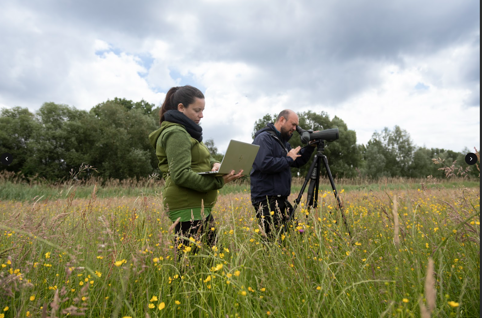
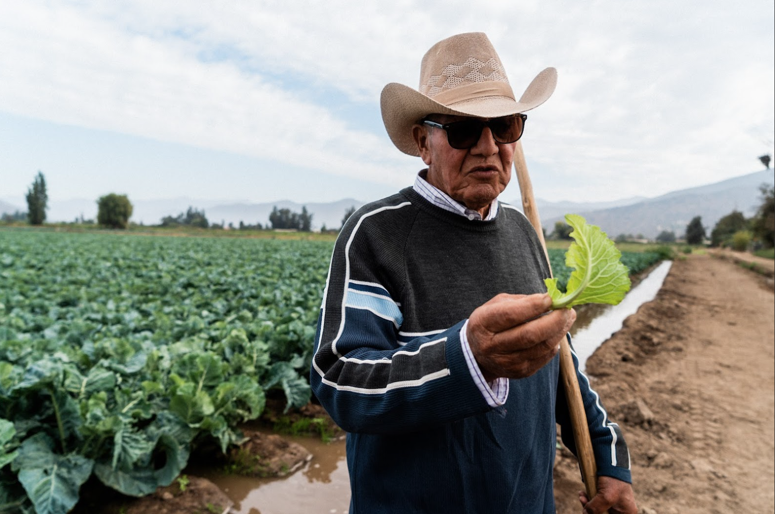
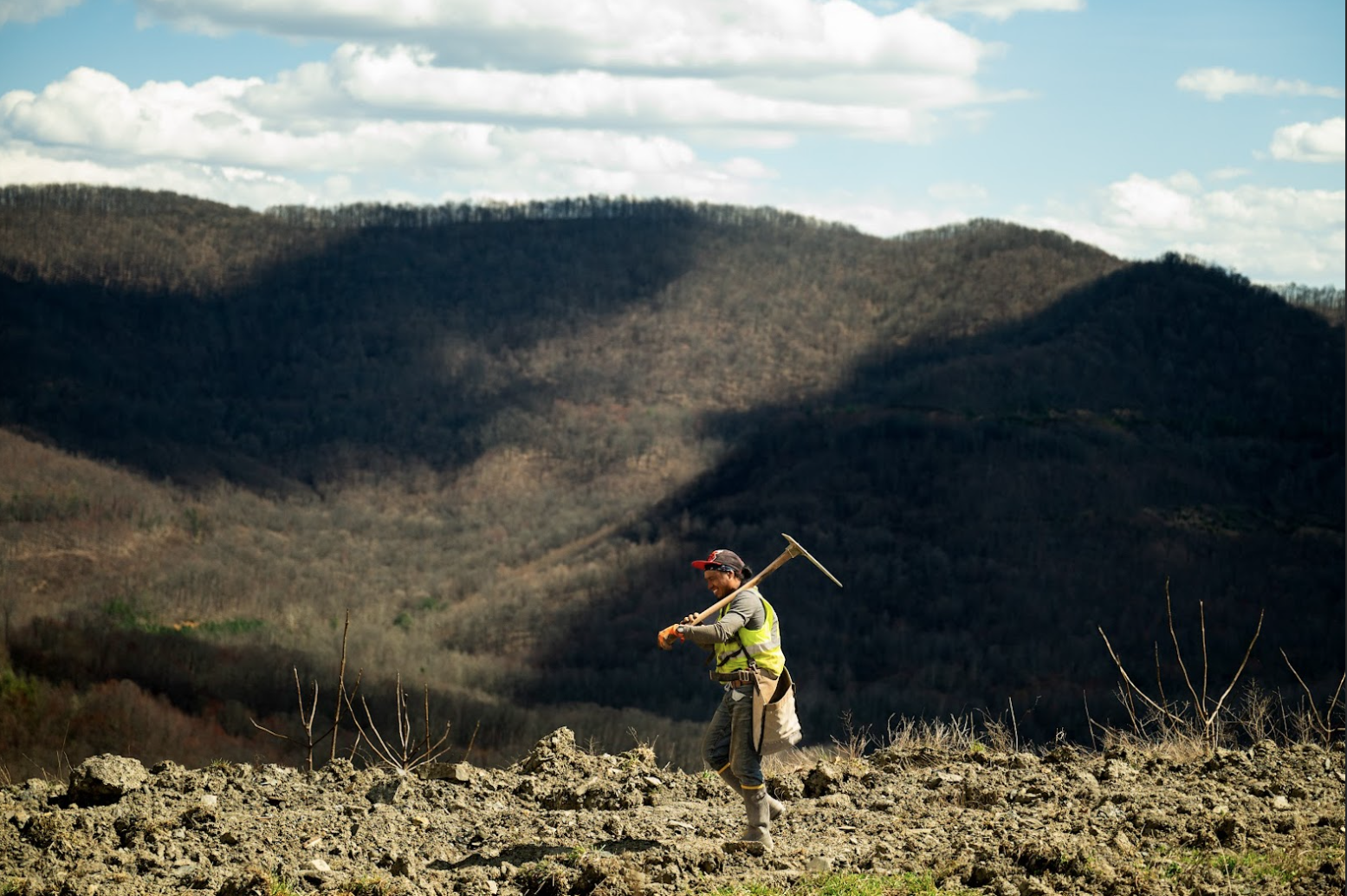
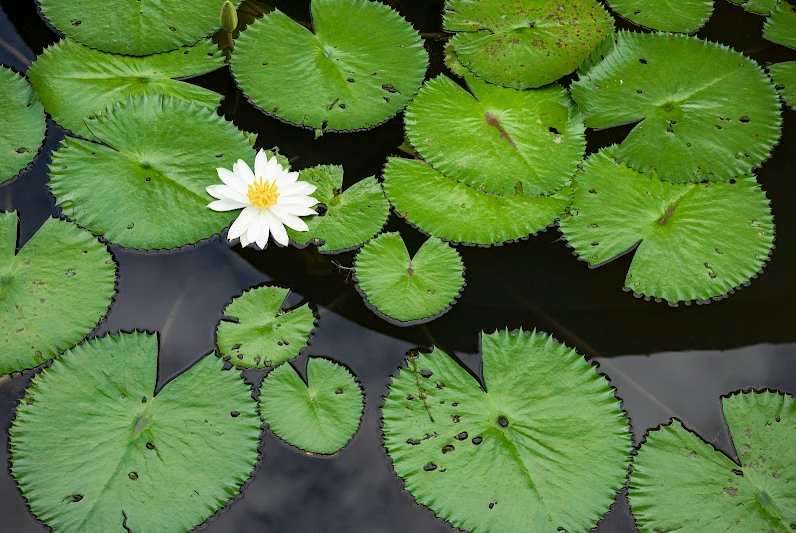
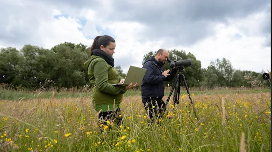
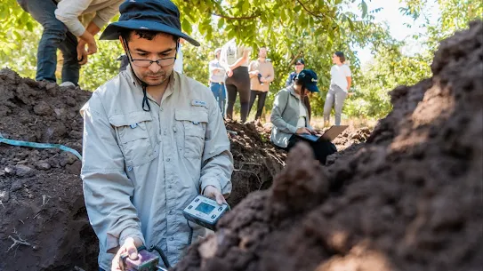
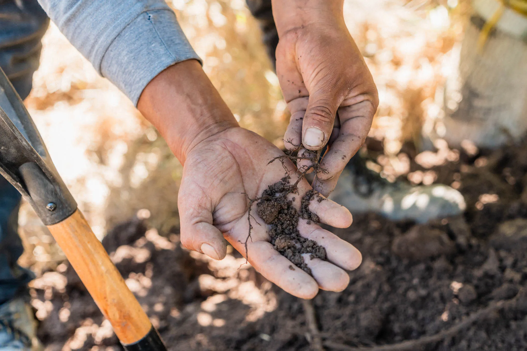
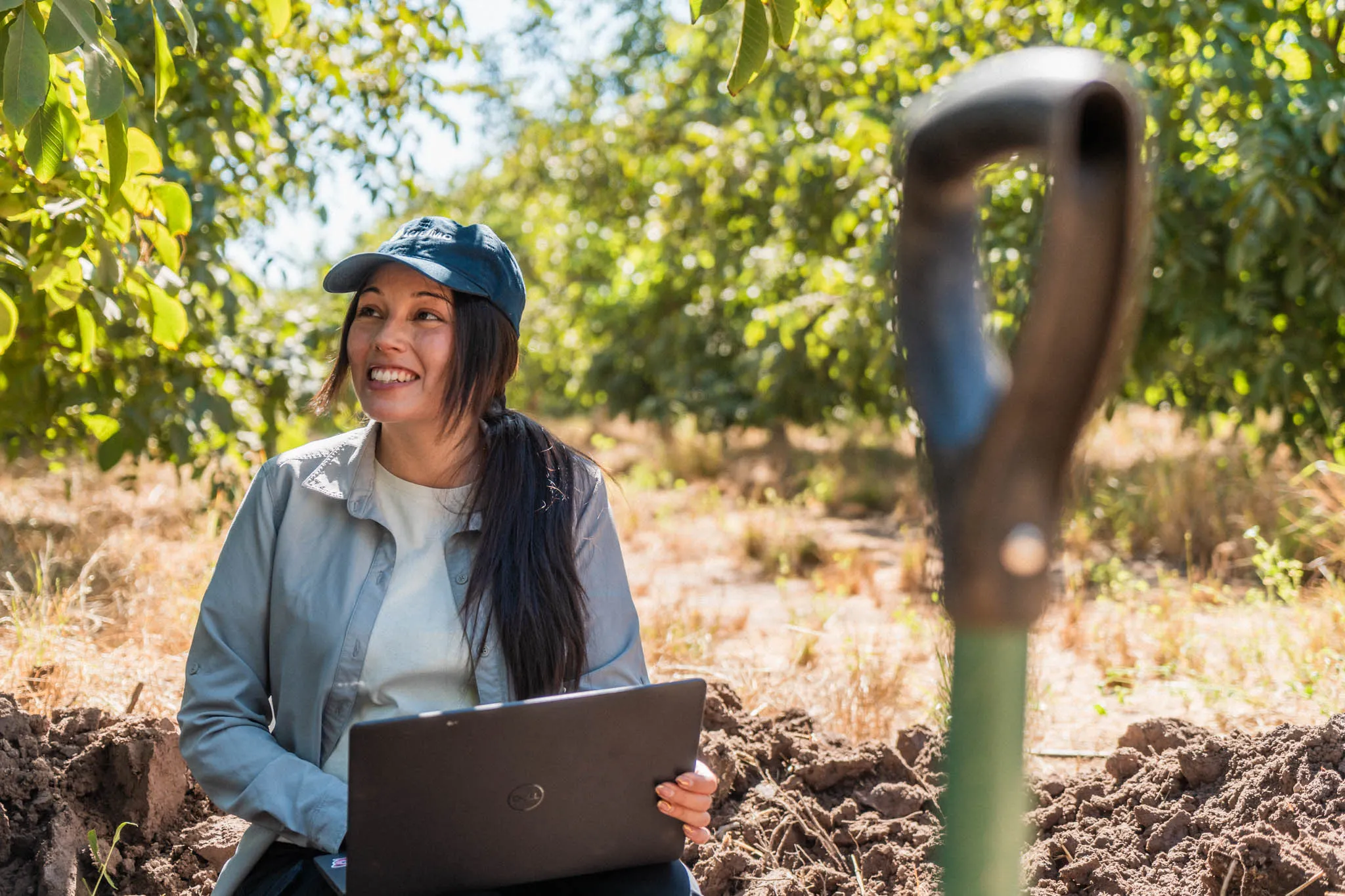
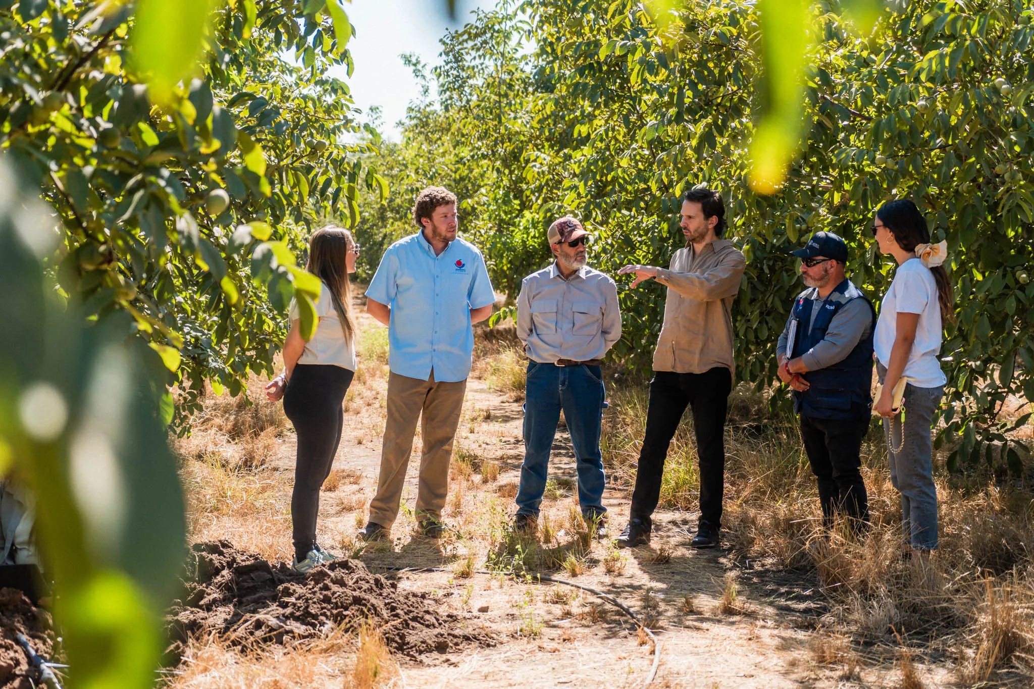
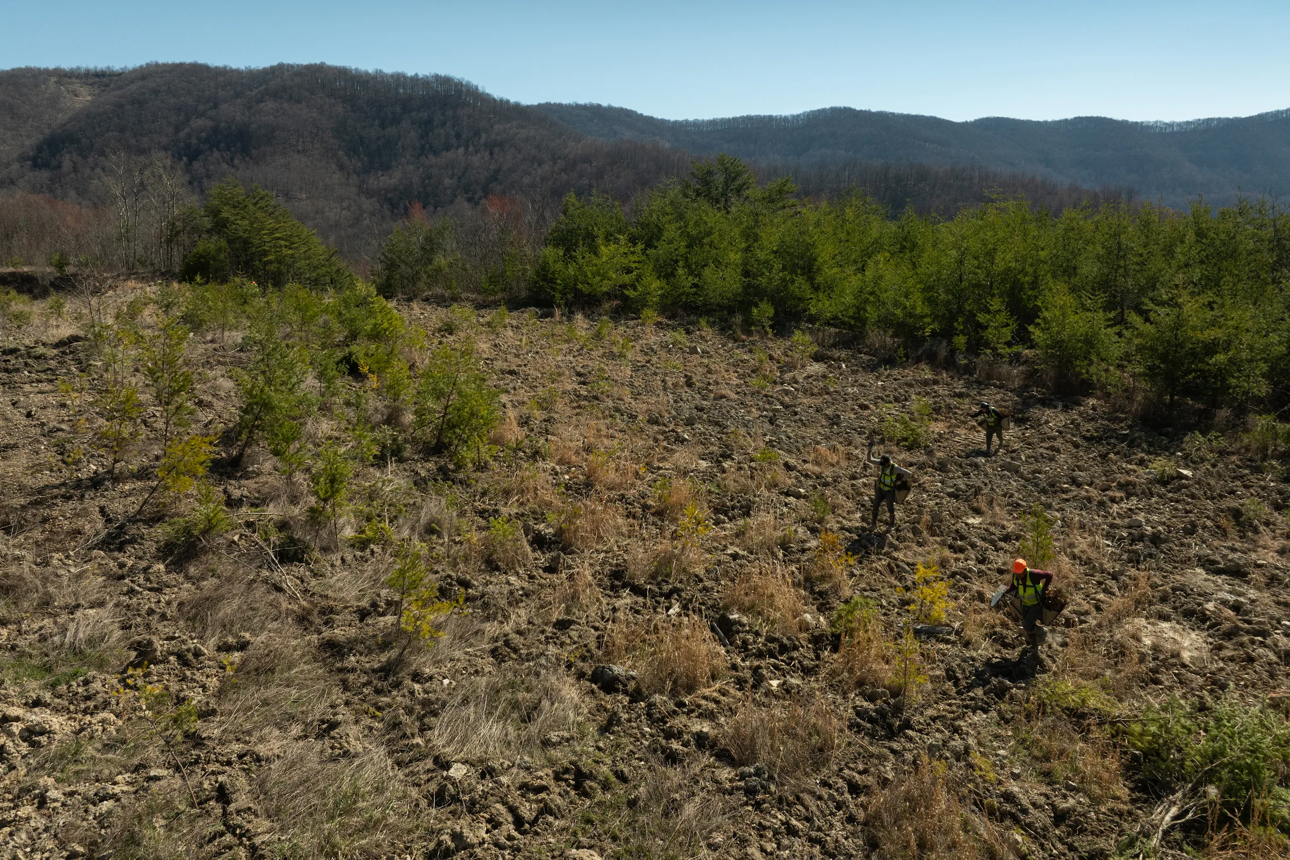
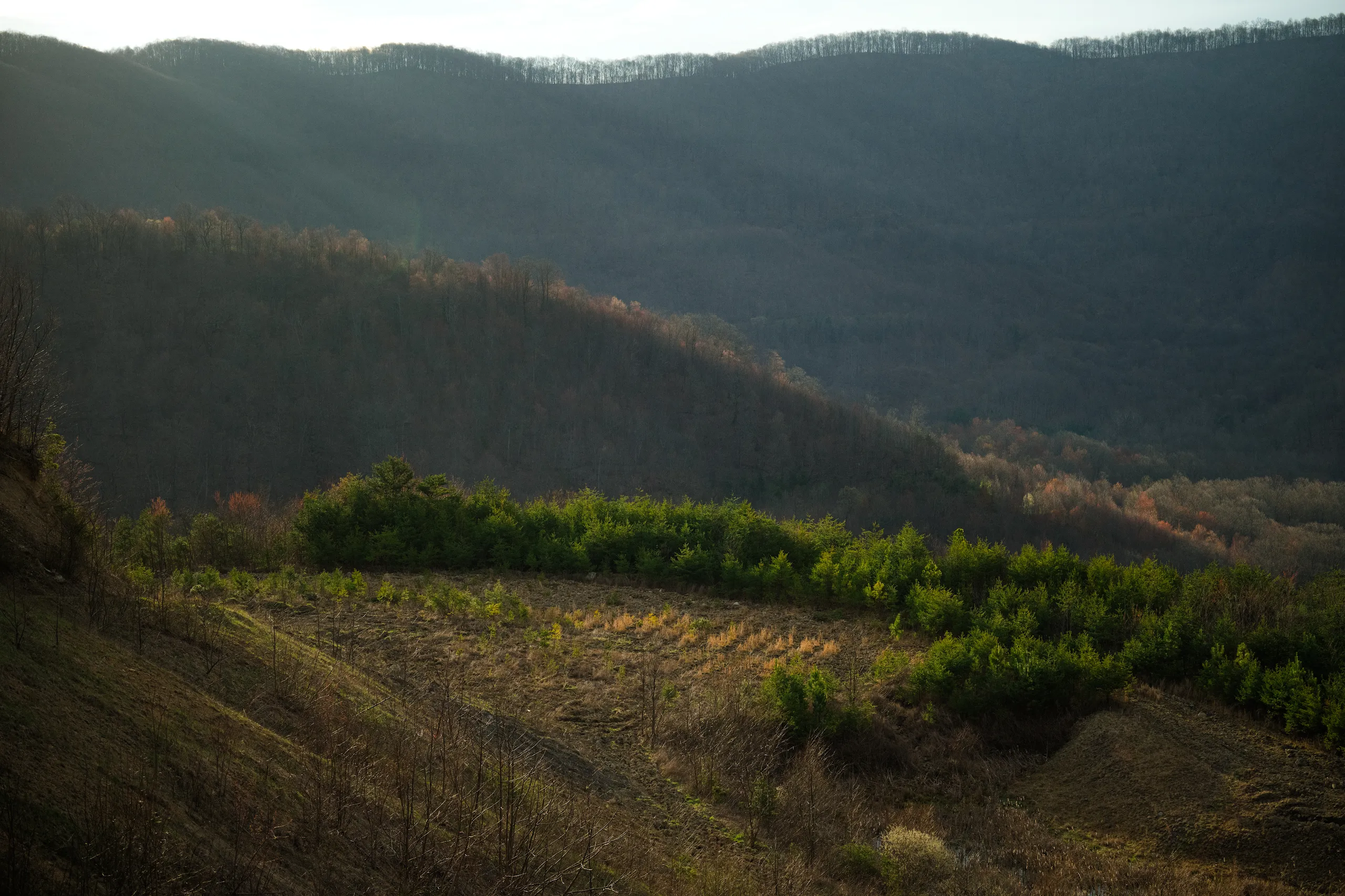
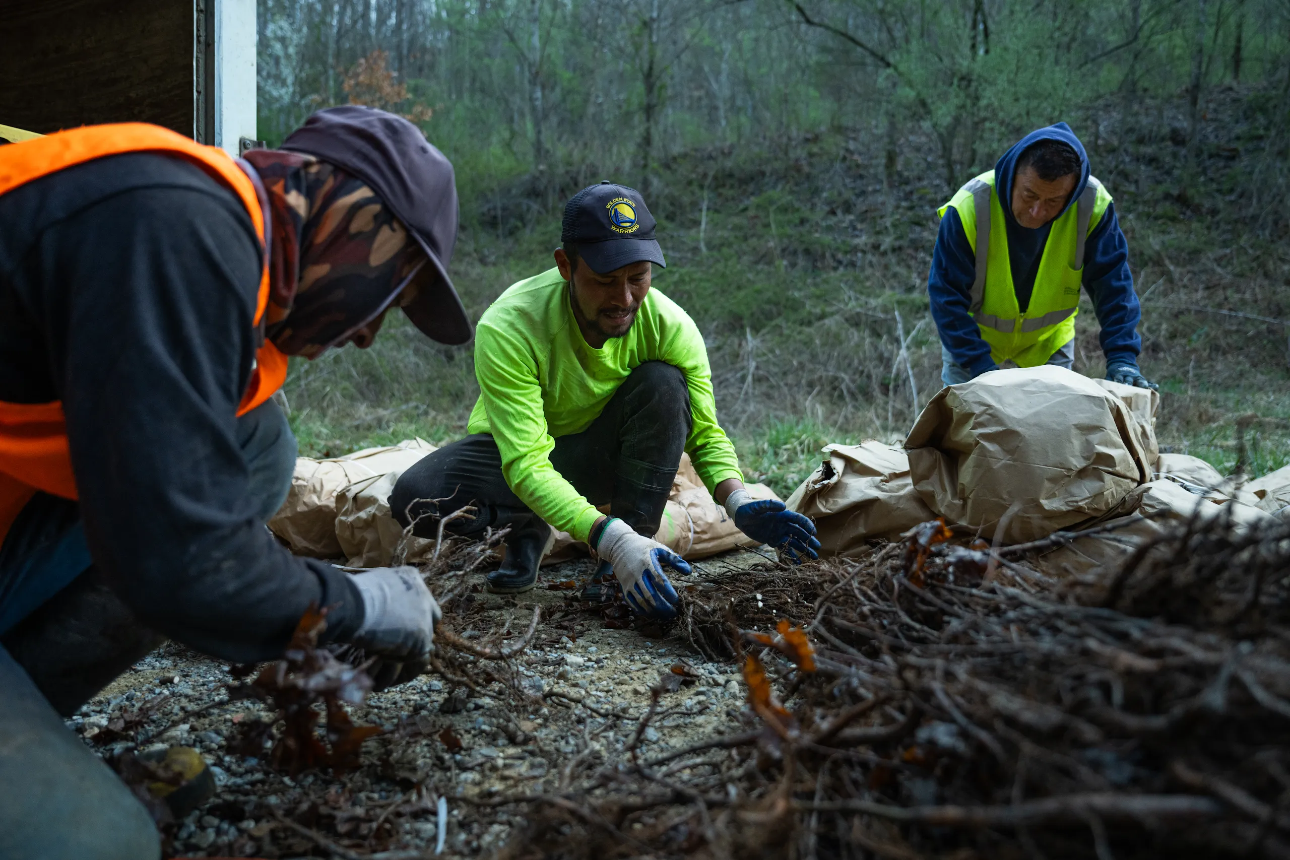
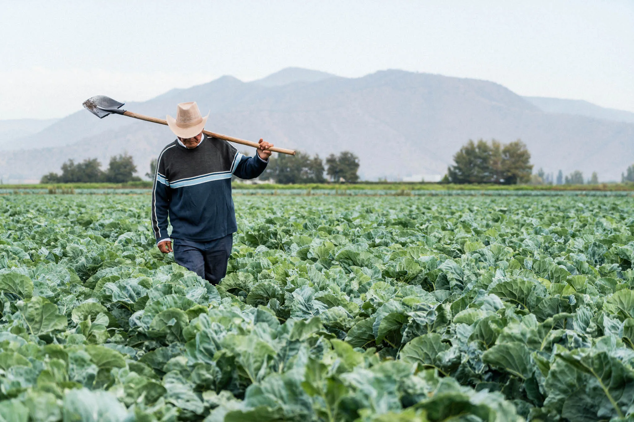
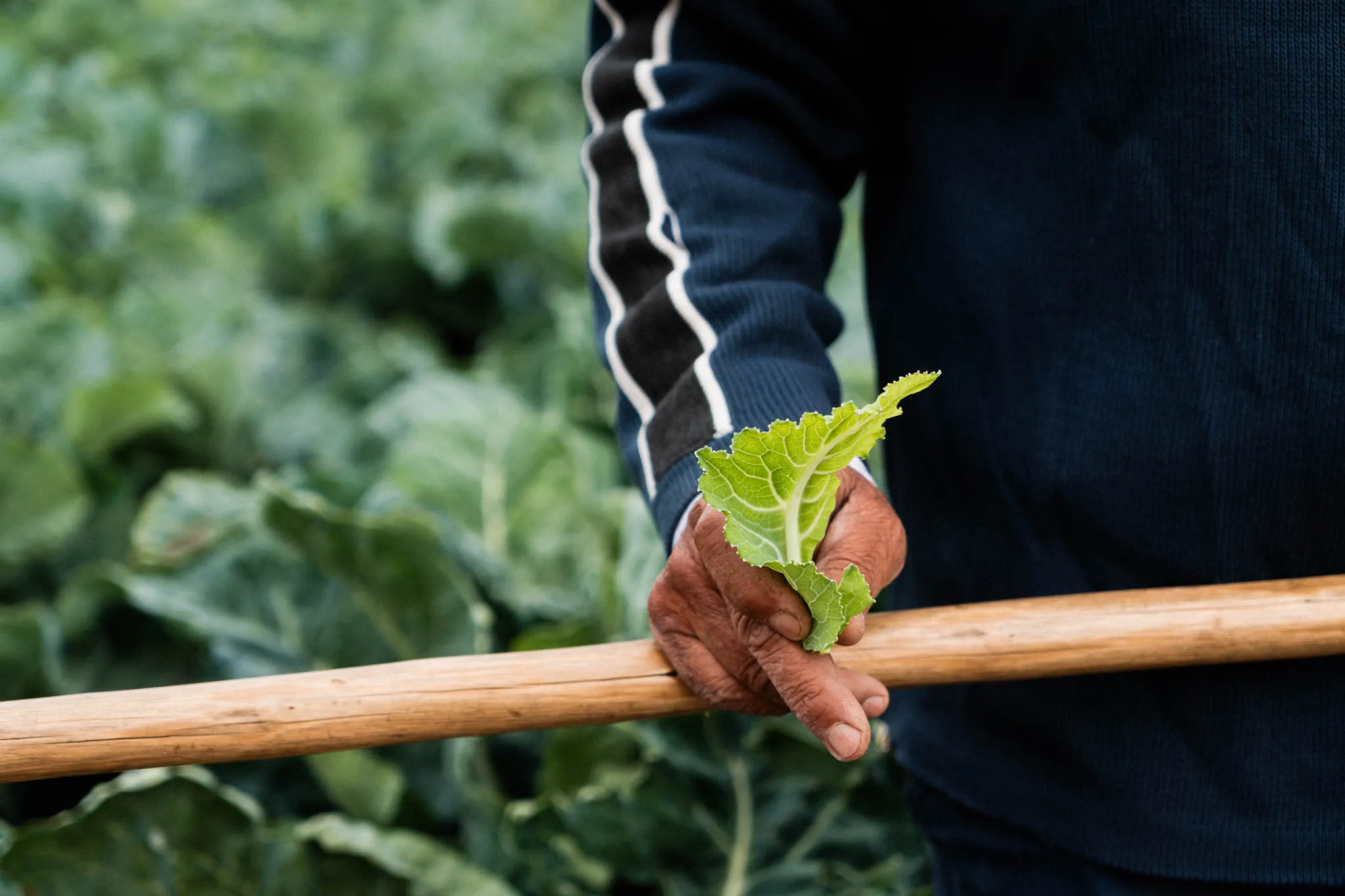
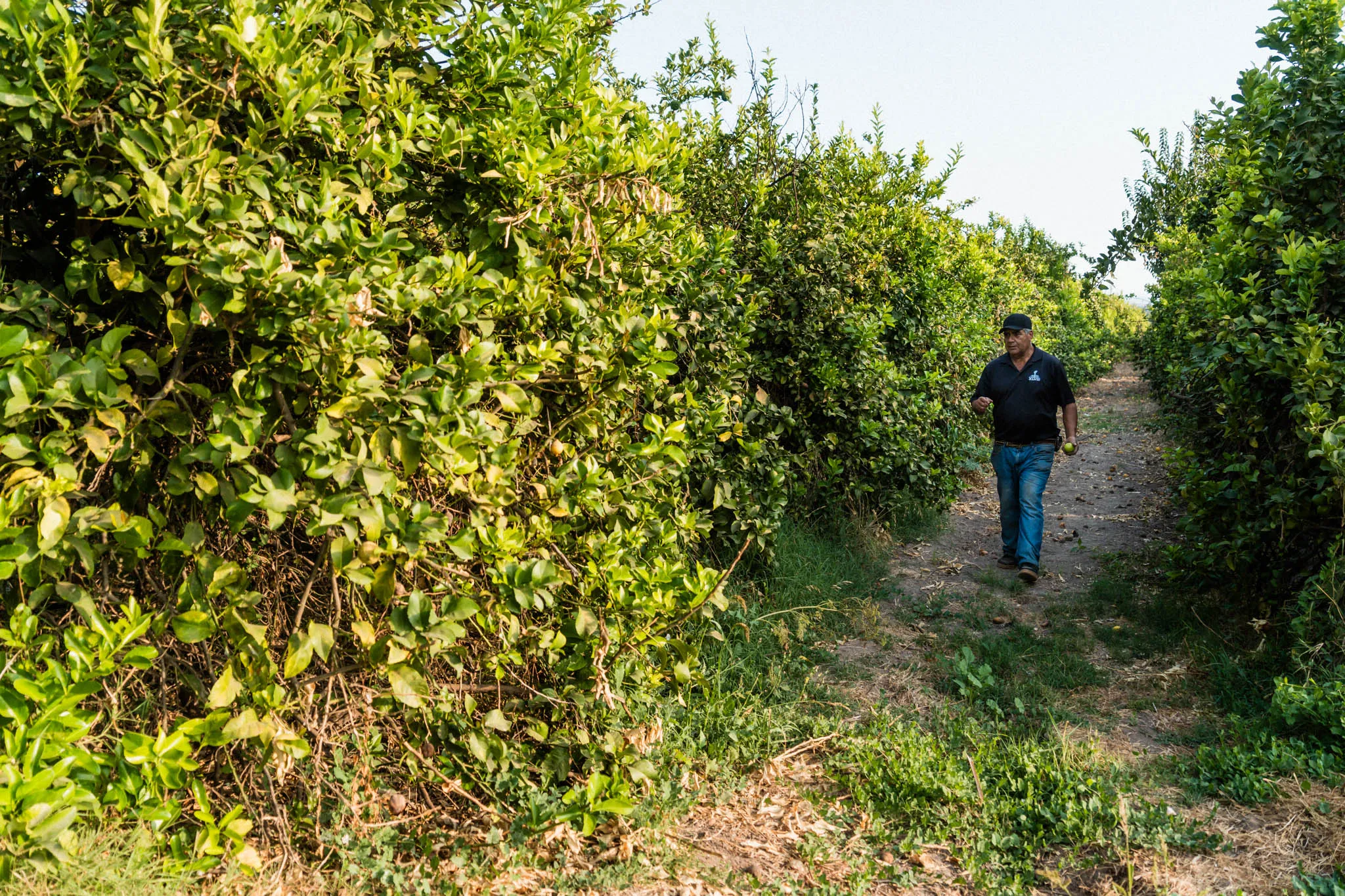
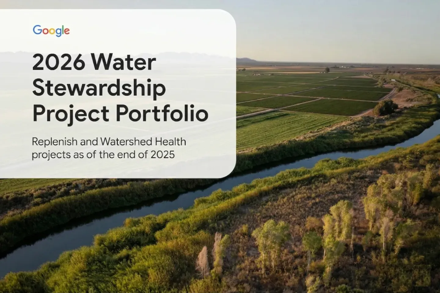
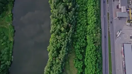
Our water stewardship projects
We invest in replenishment and watershed health through our water stewardship initiatives, collaborating with local organizations to address challenges in the watersheds where we operate.
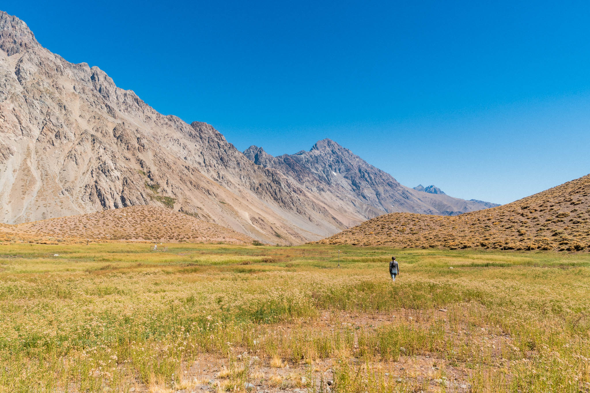
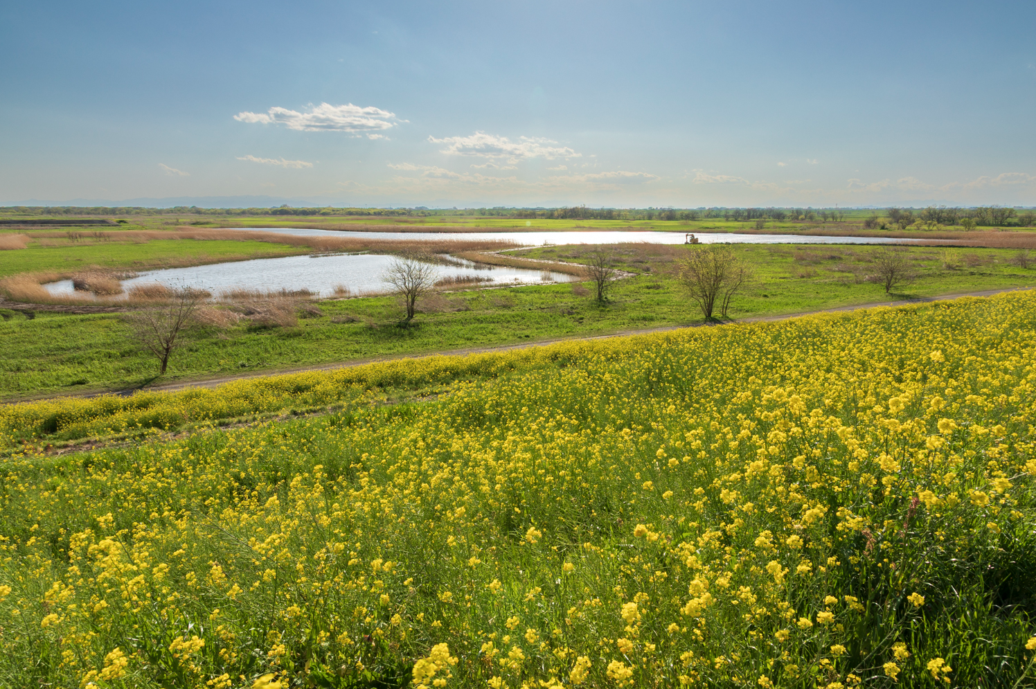
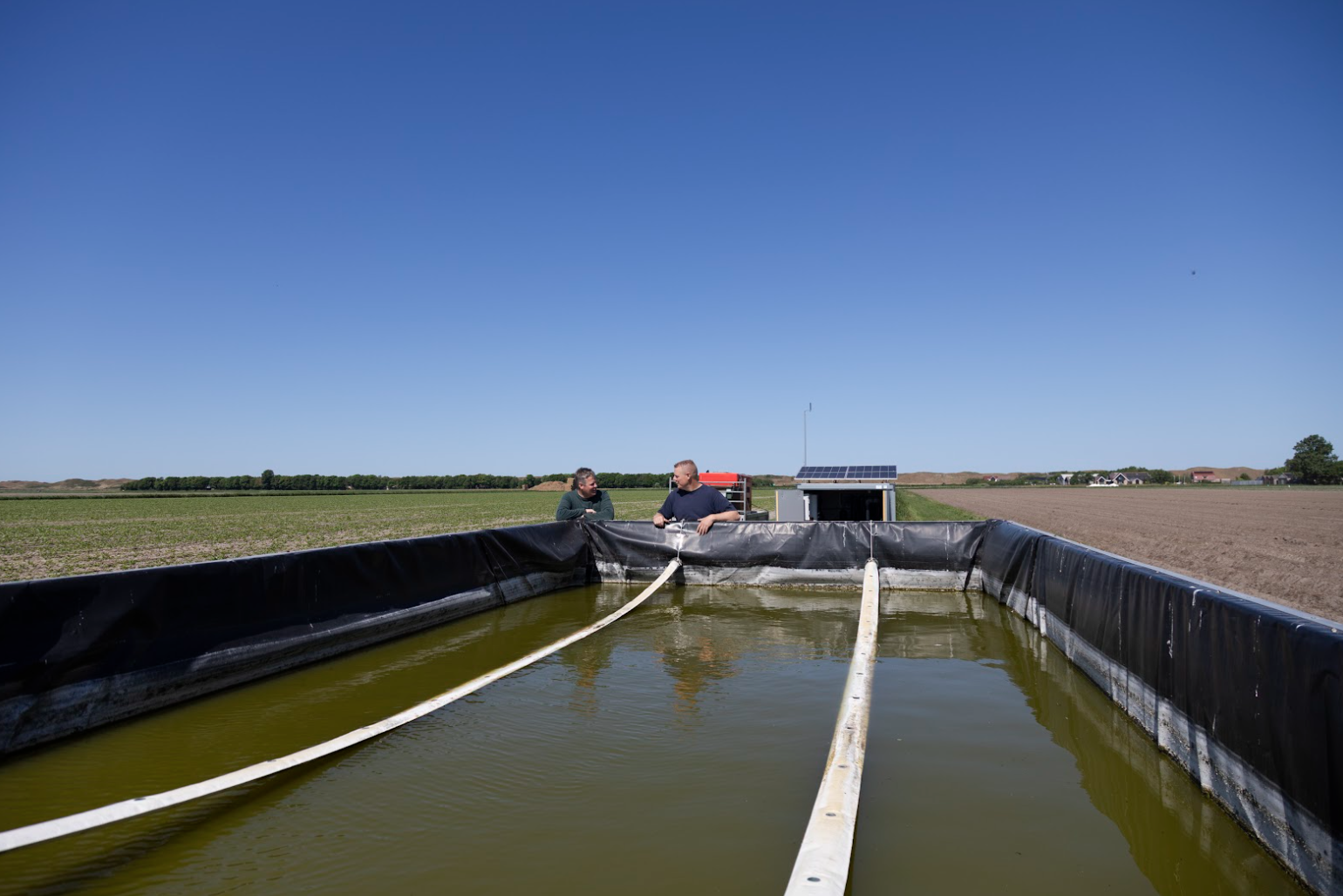
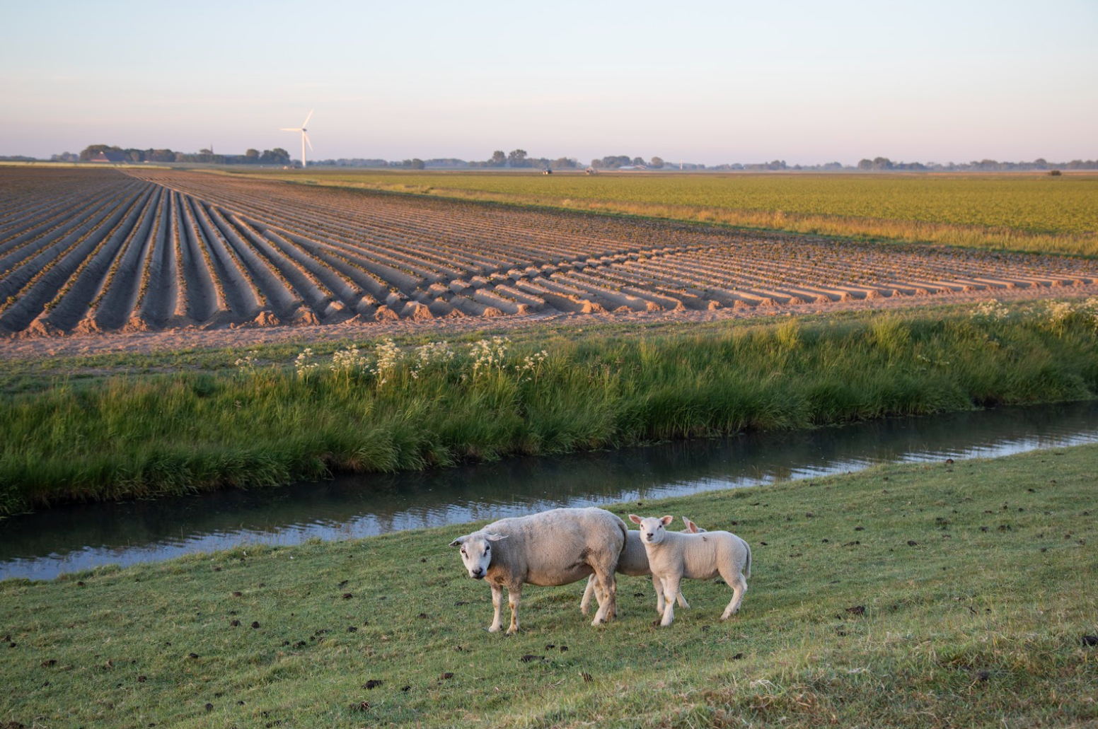
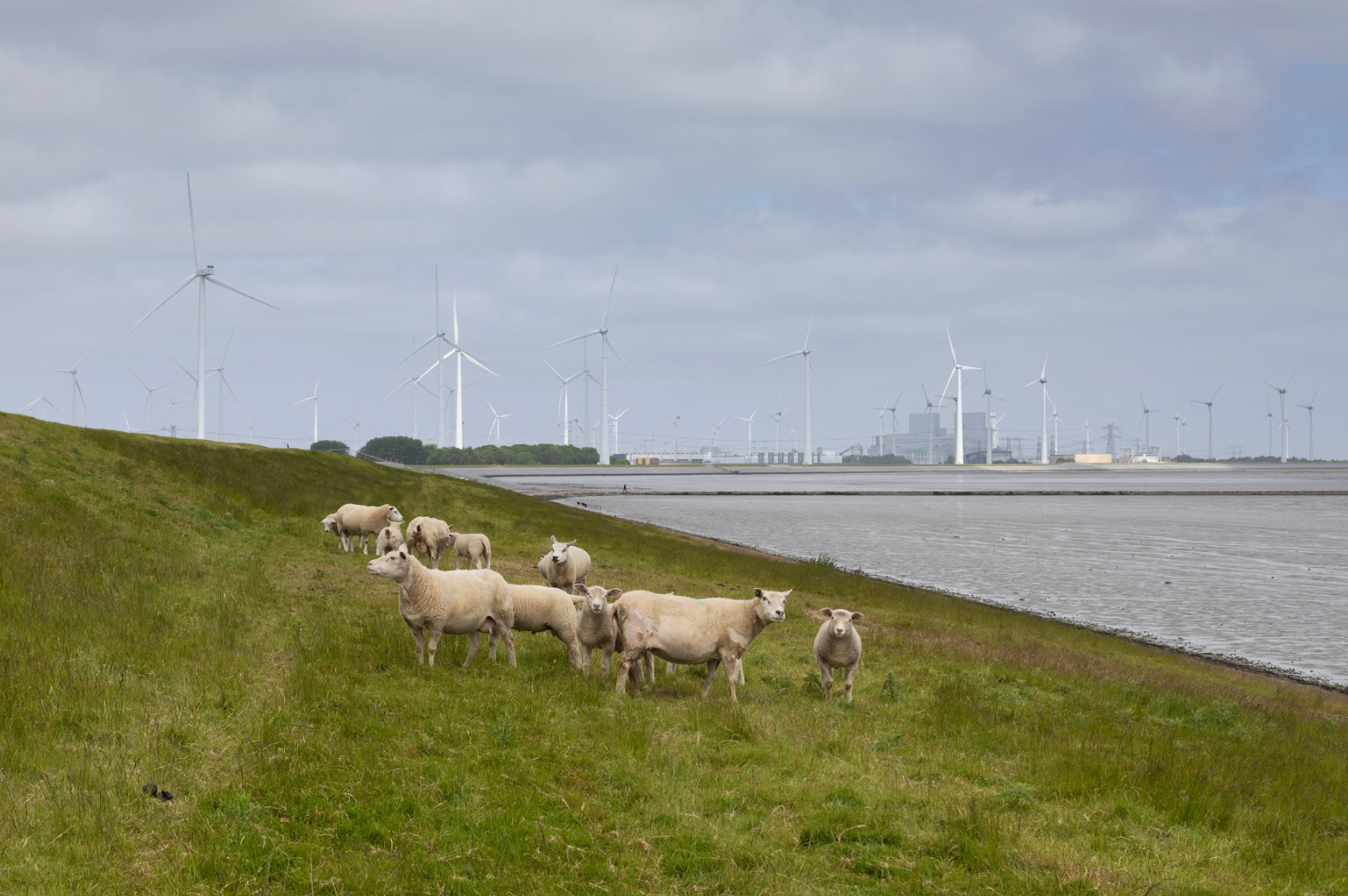
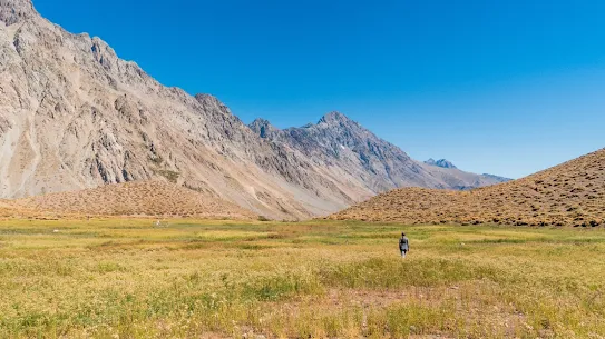
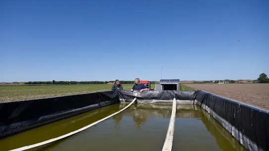
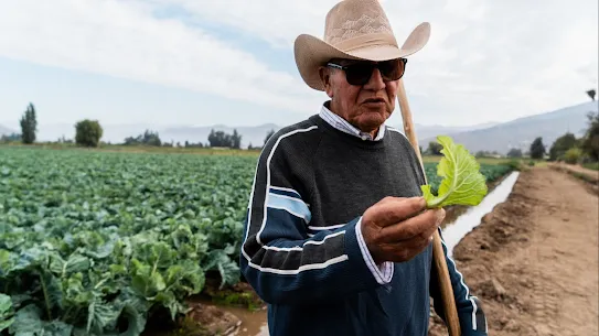
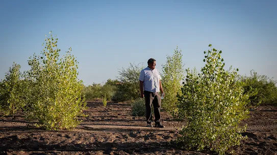
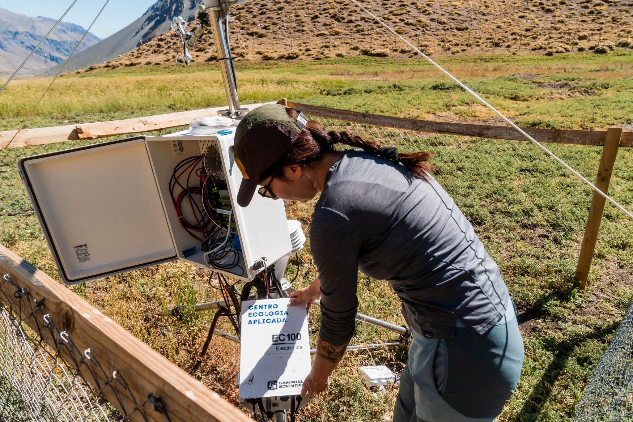
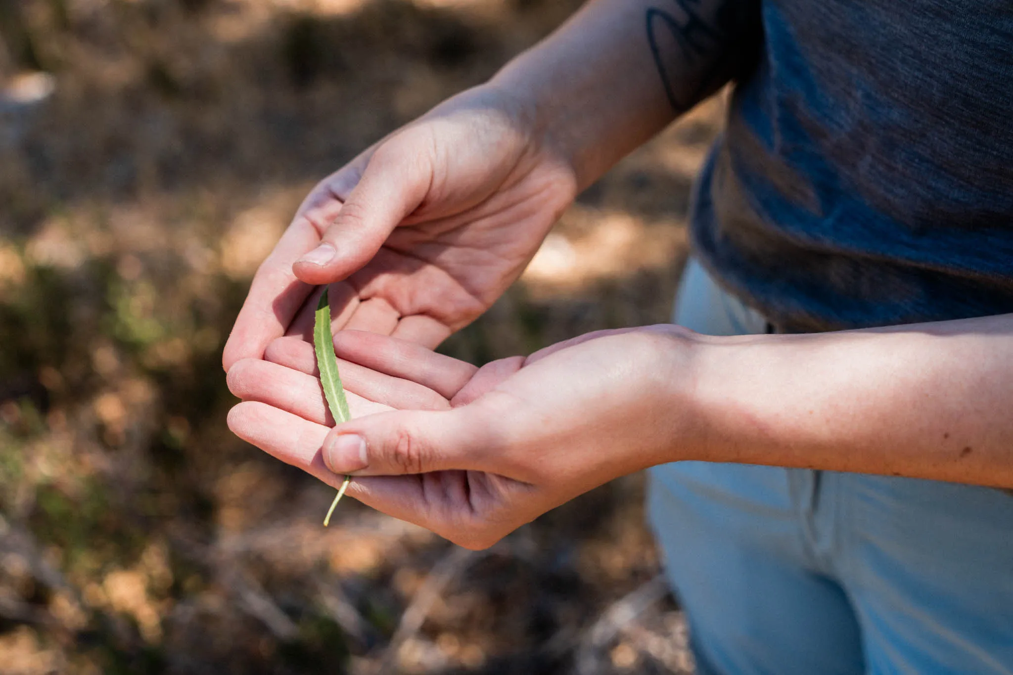
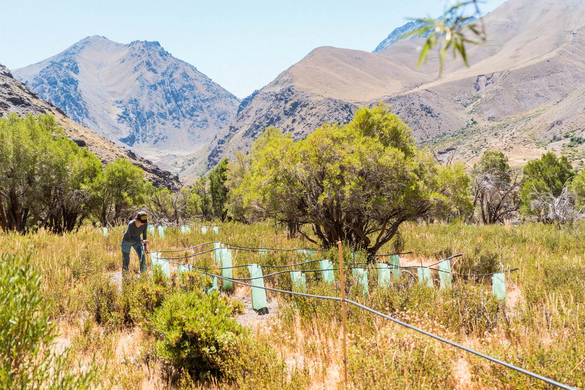
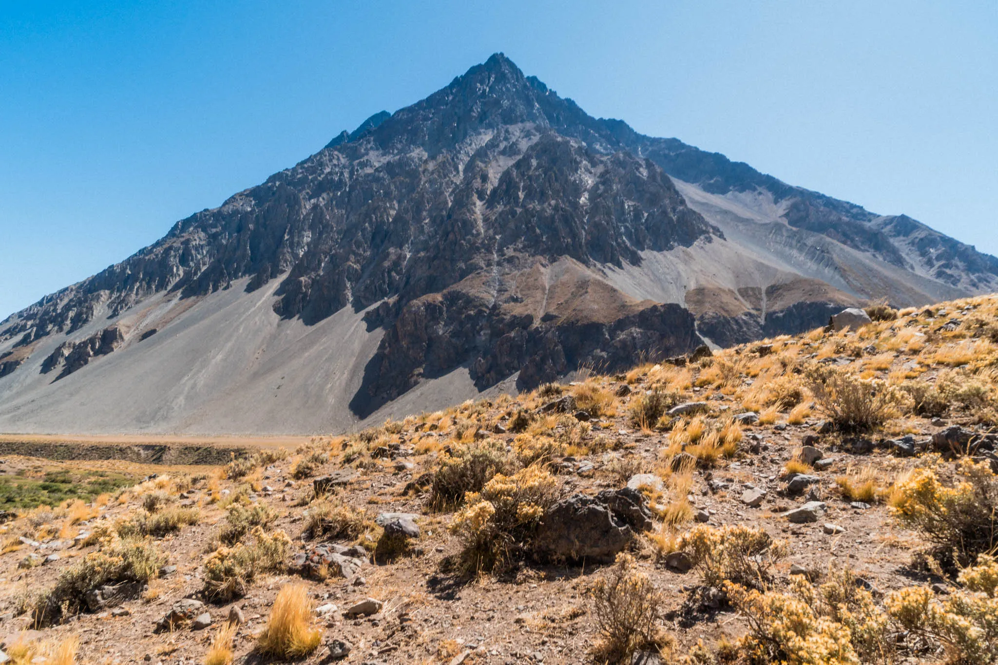
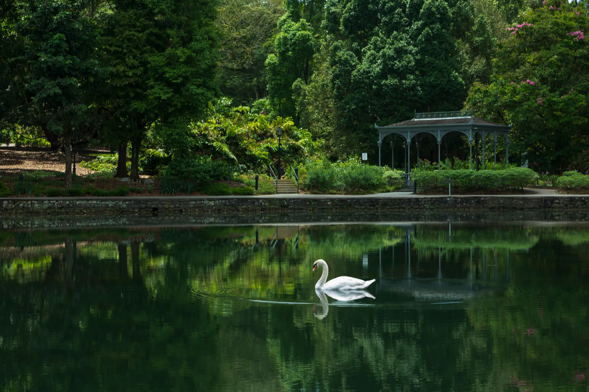
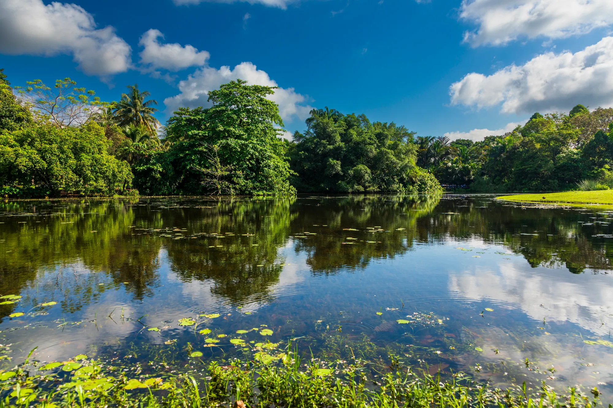
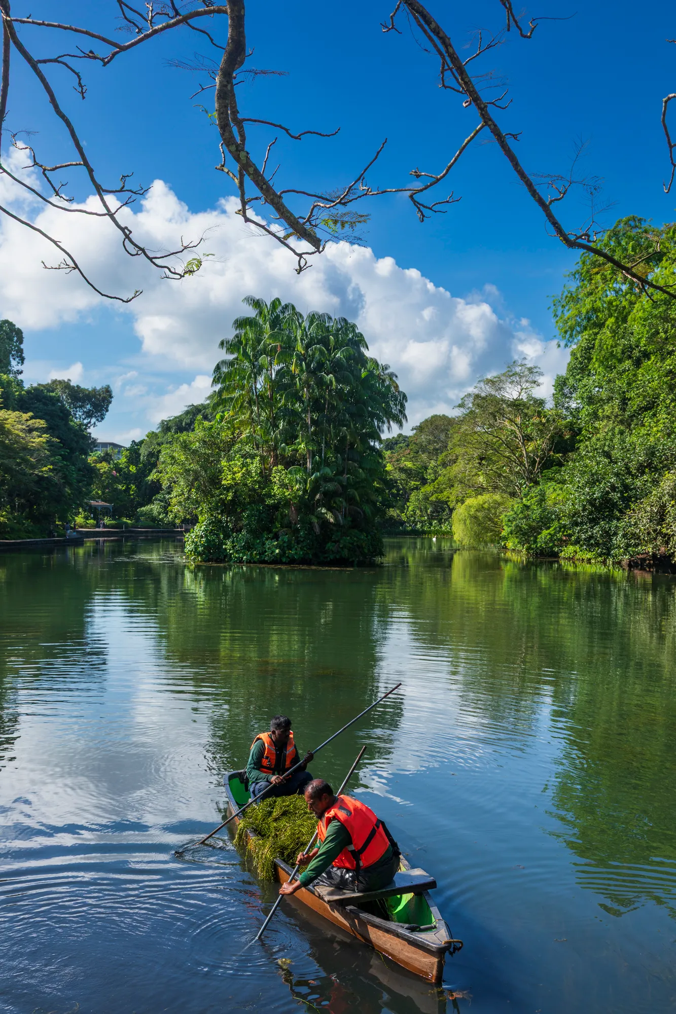
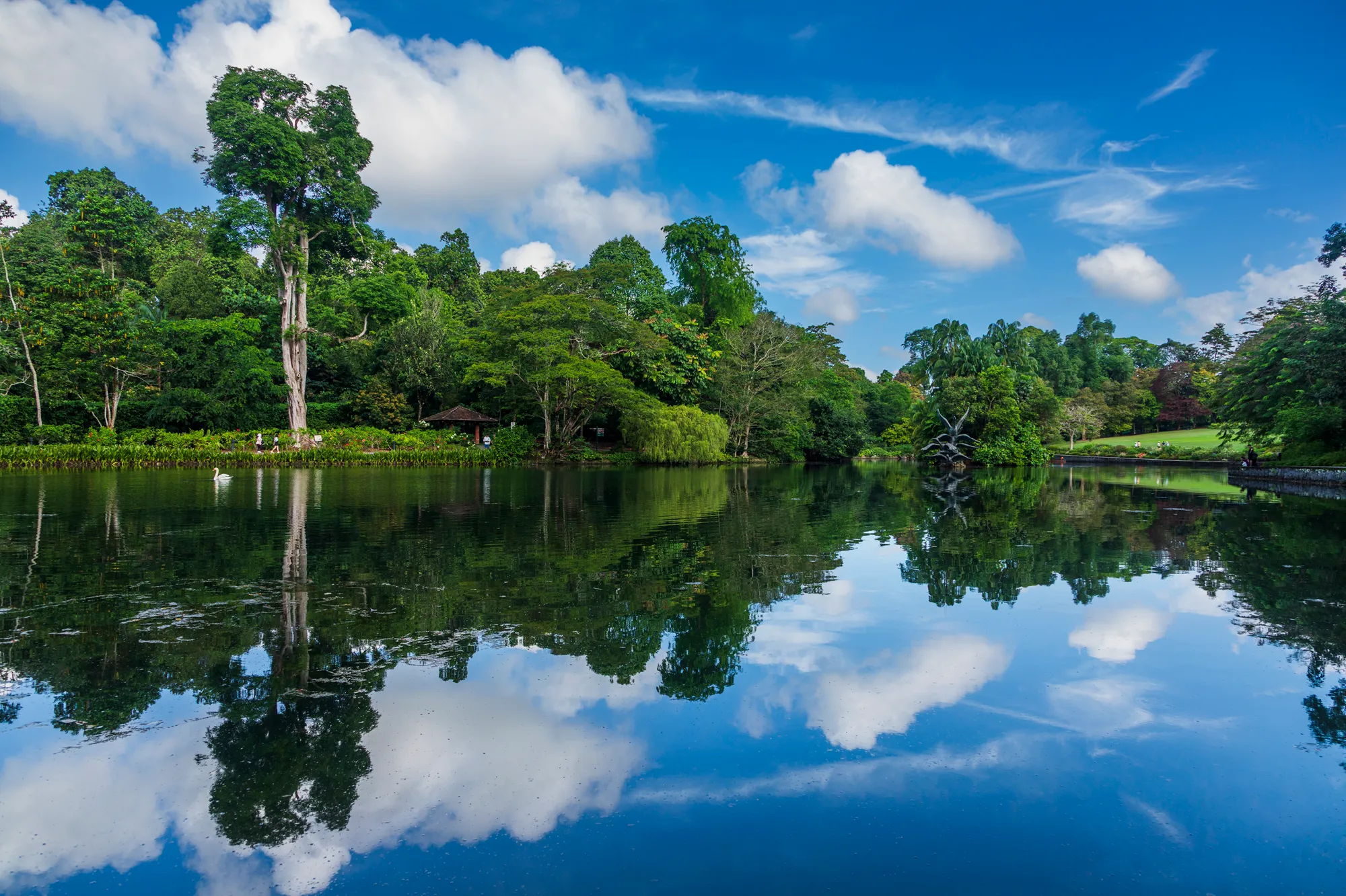
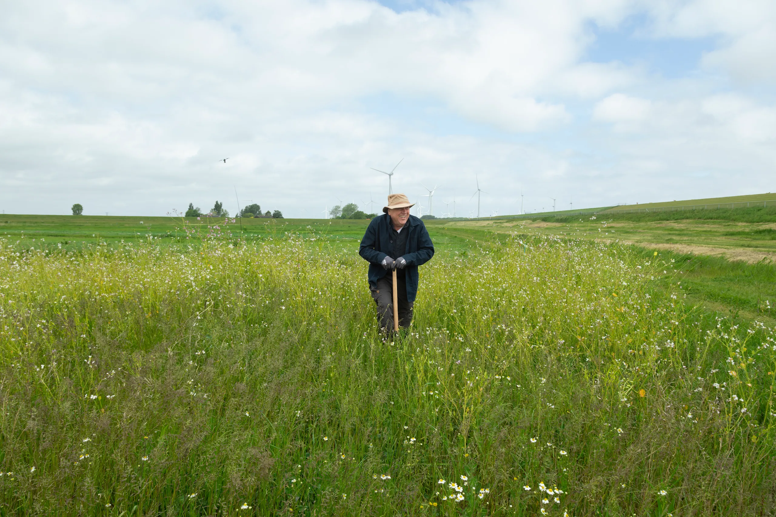
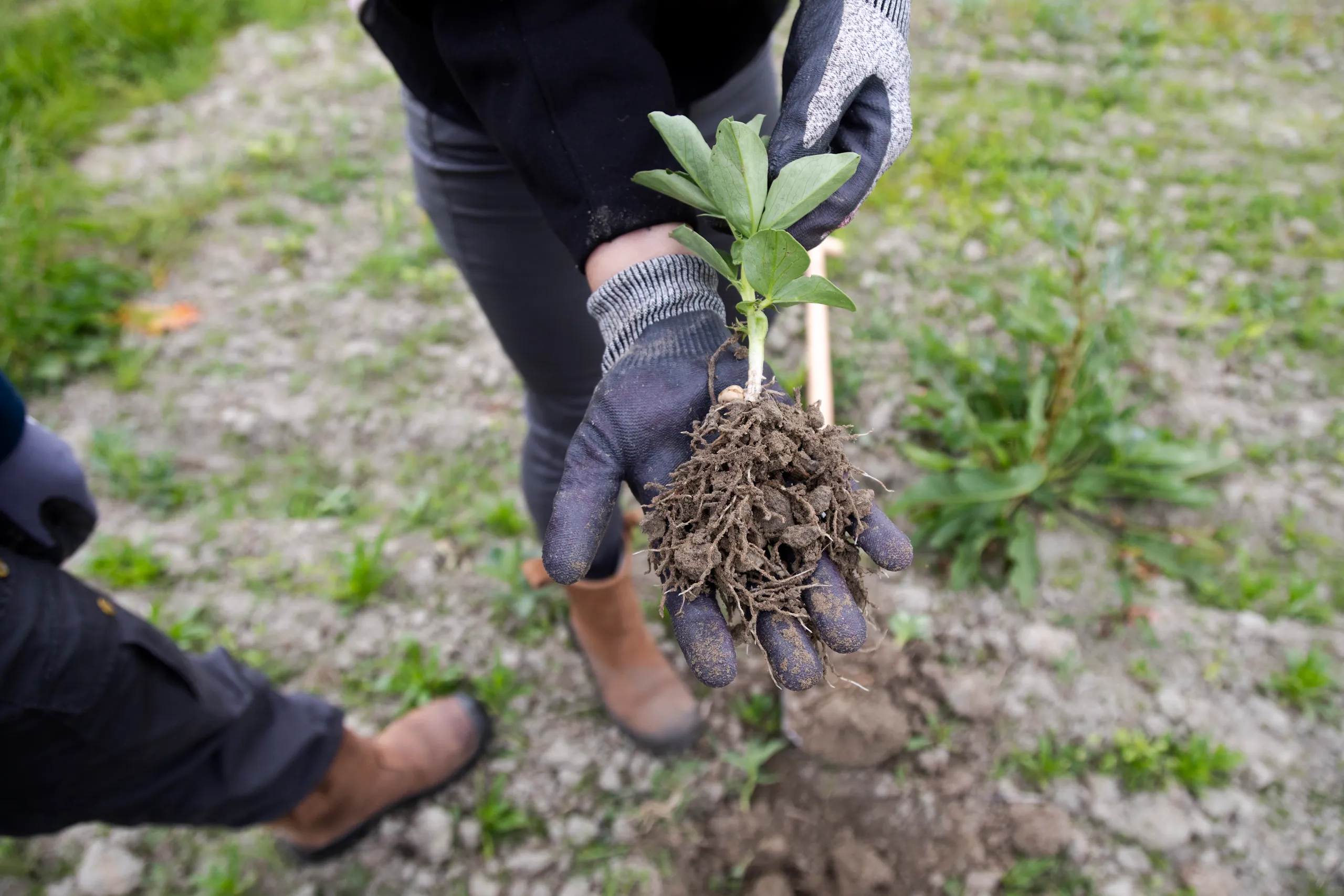
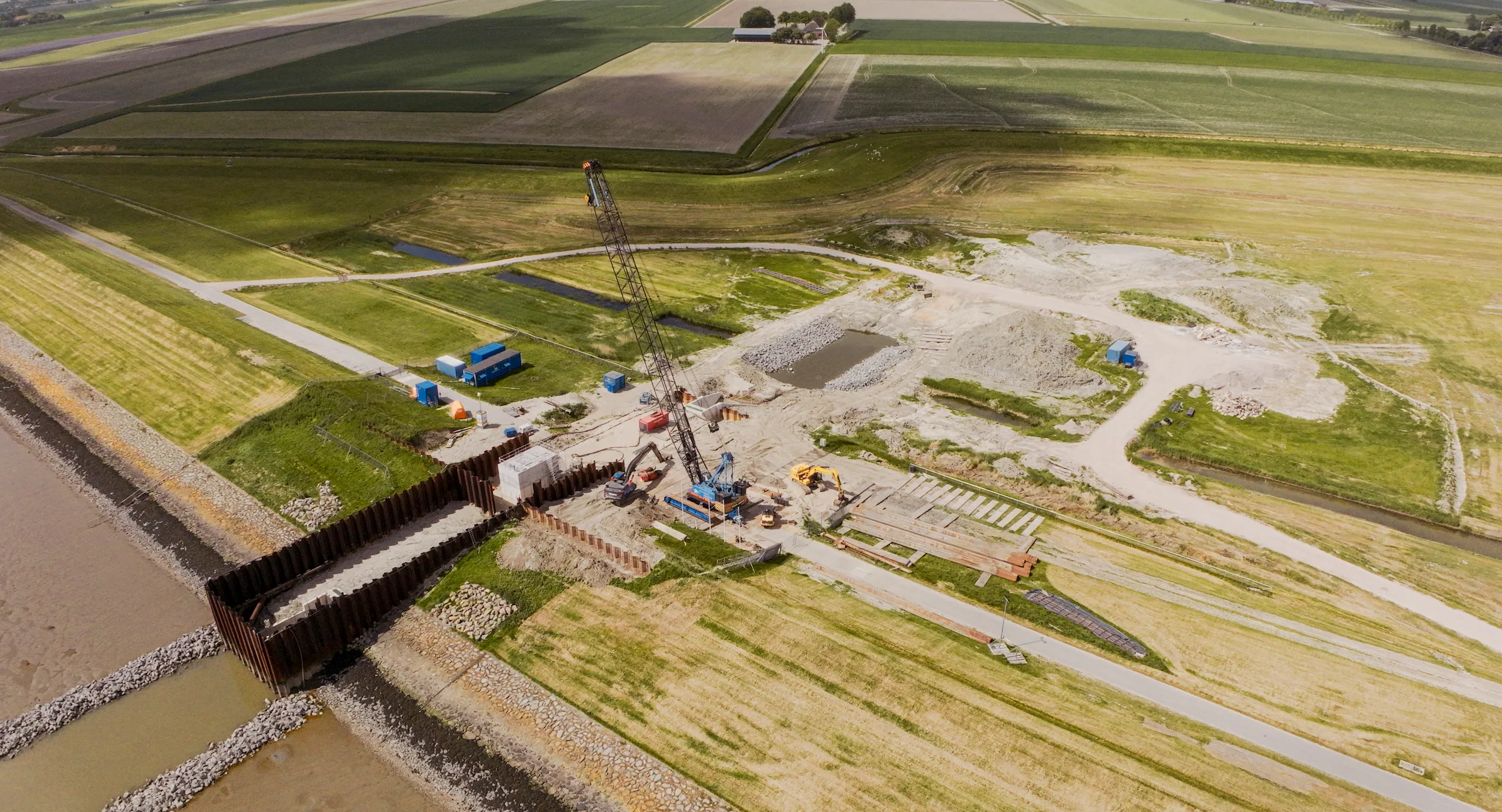
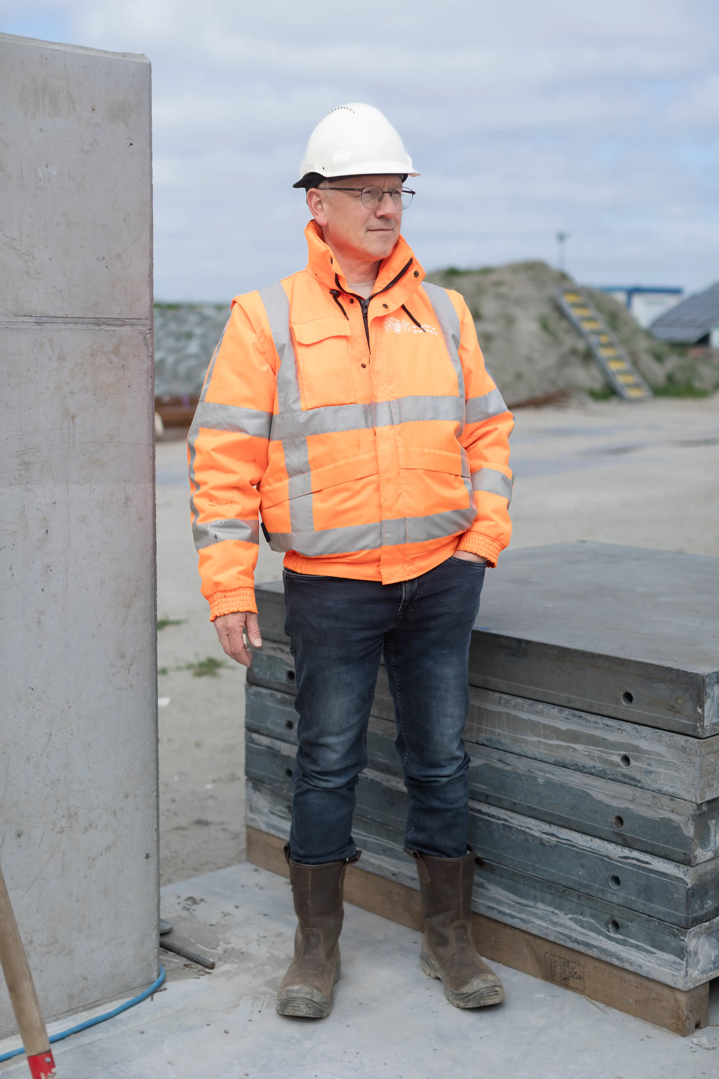
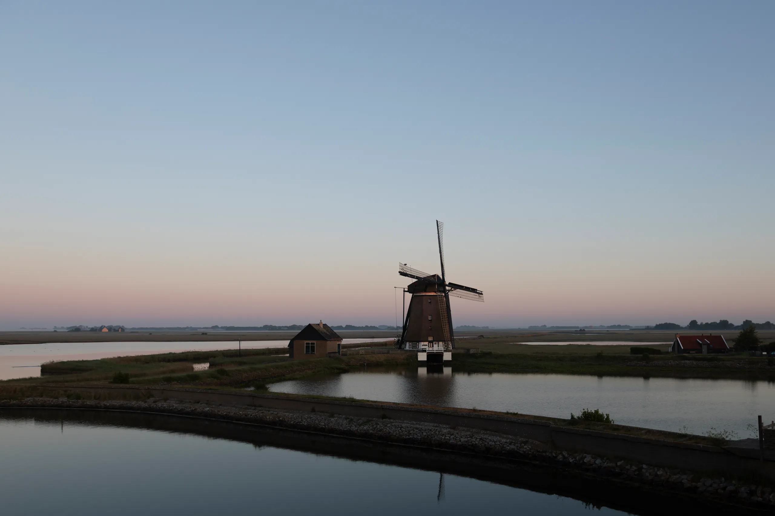
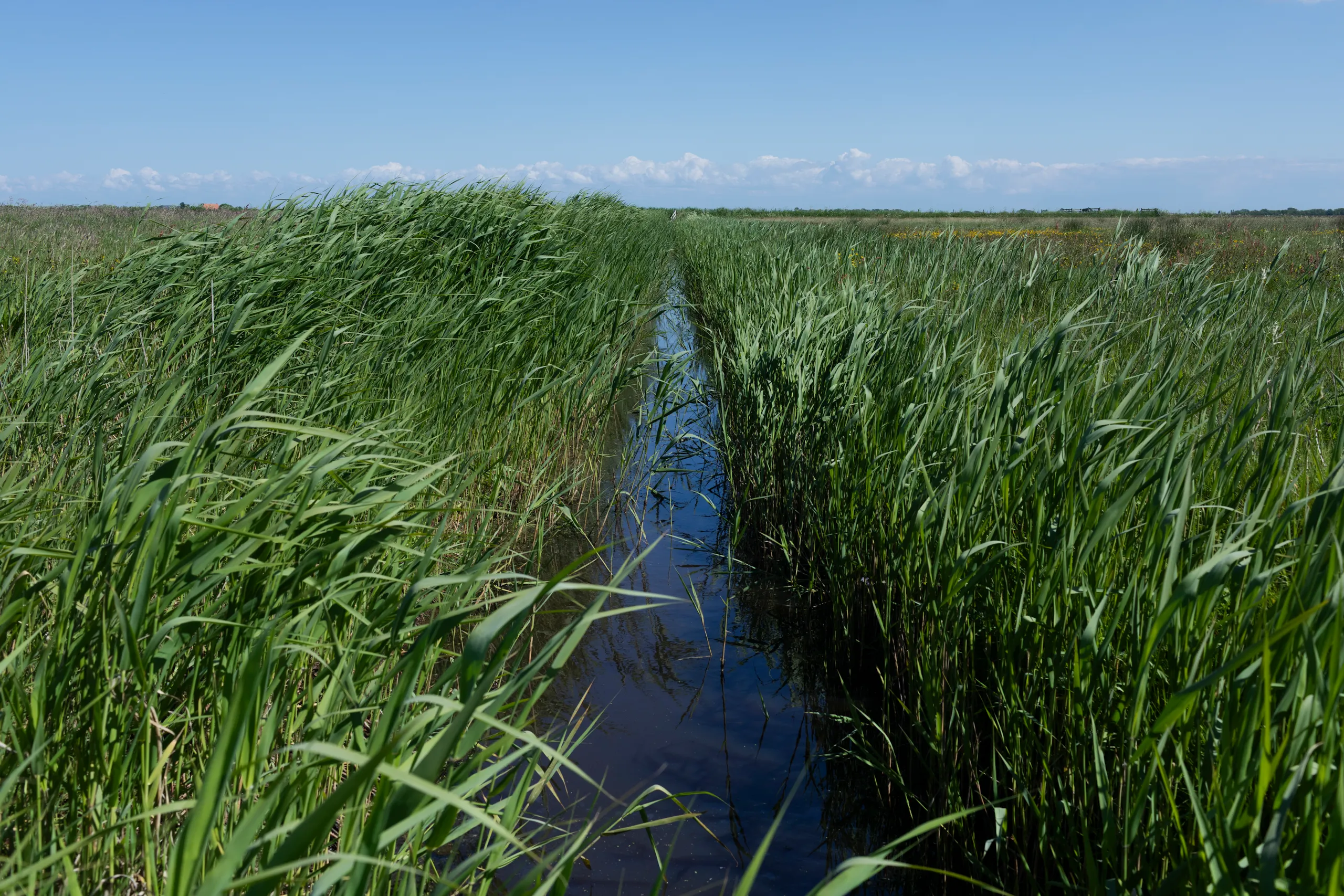
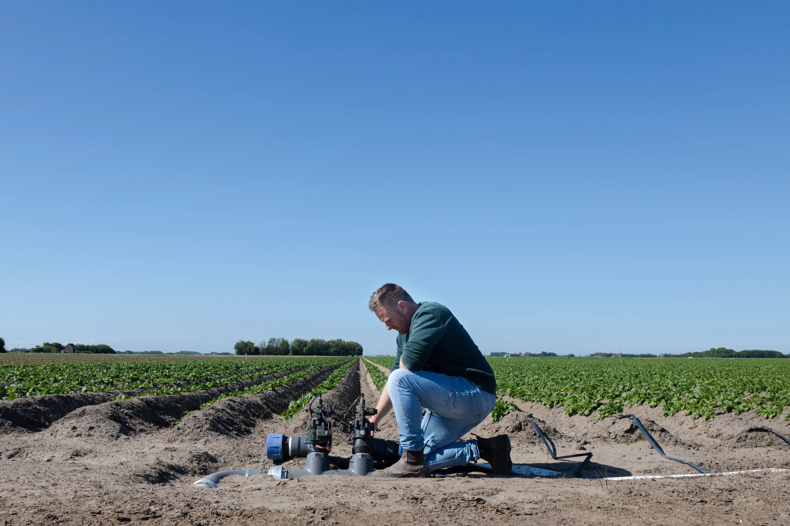
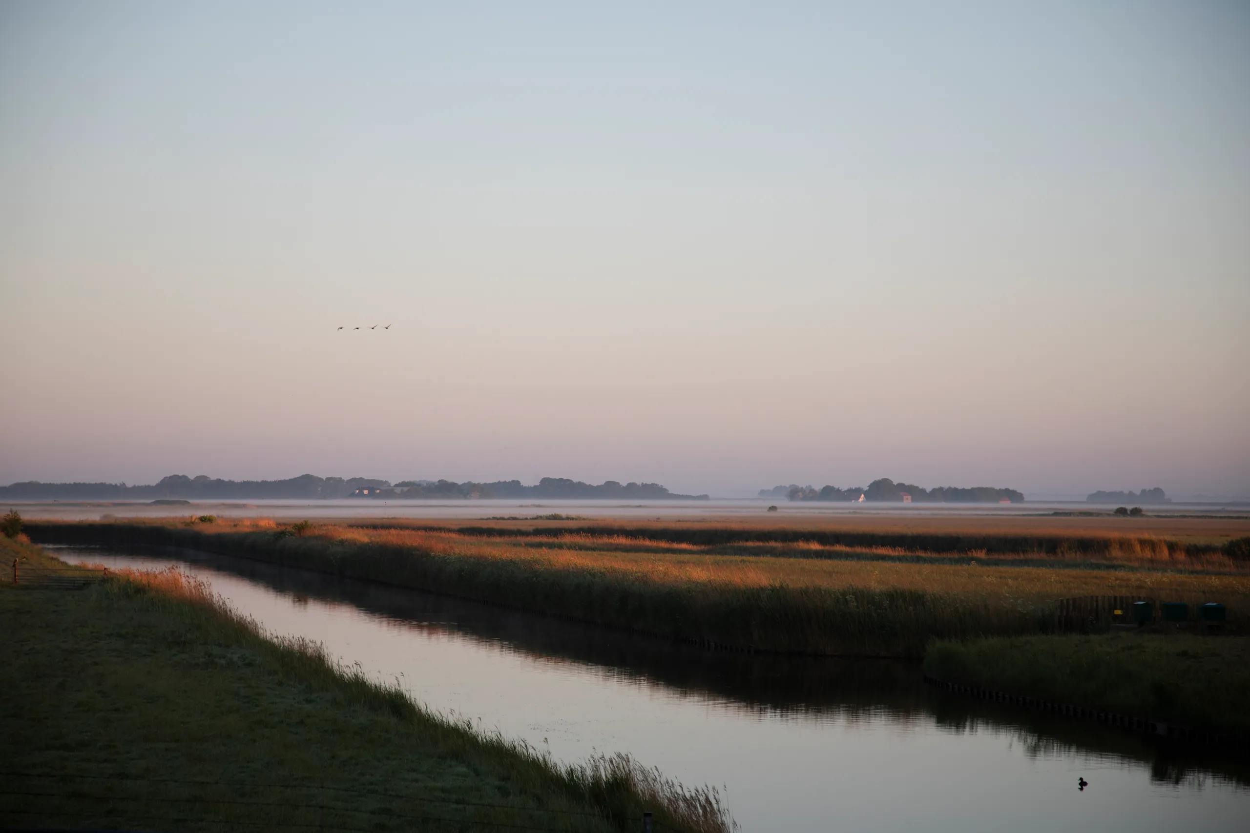
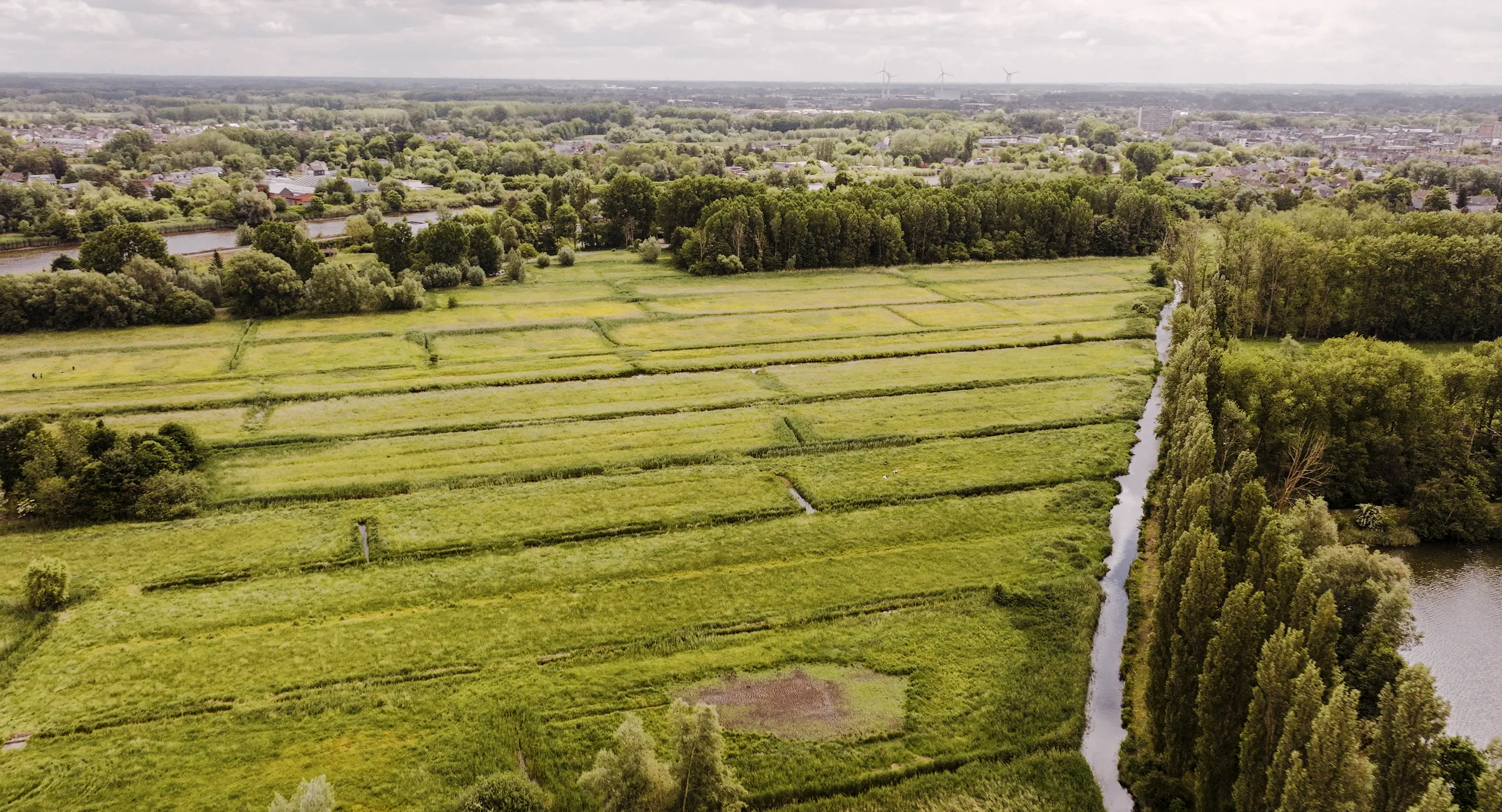
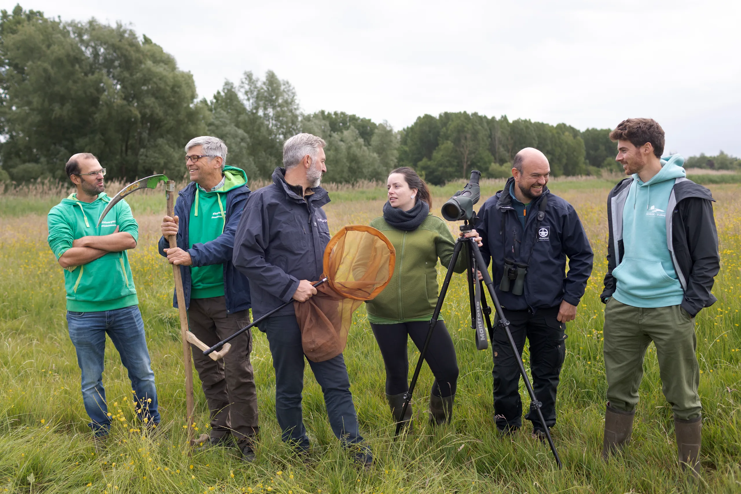
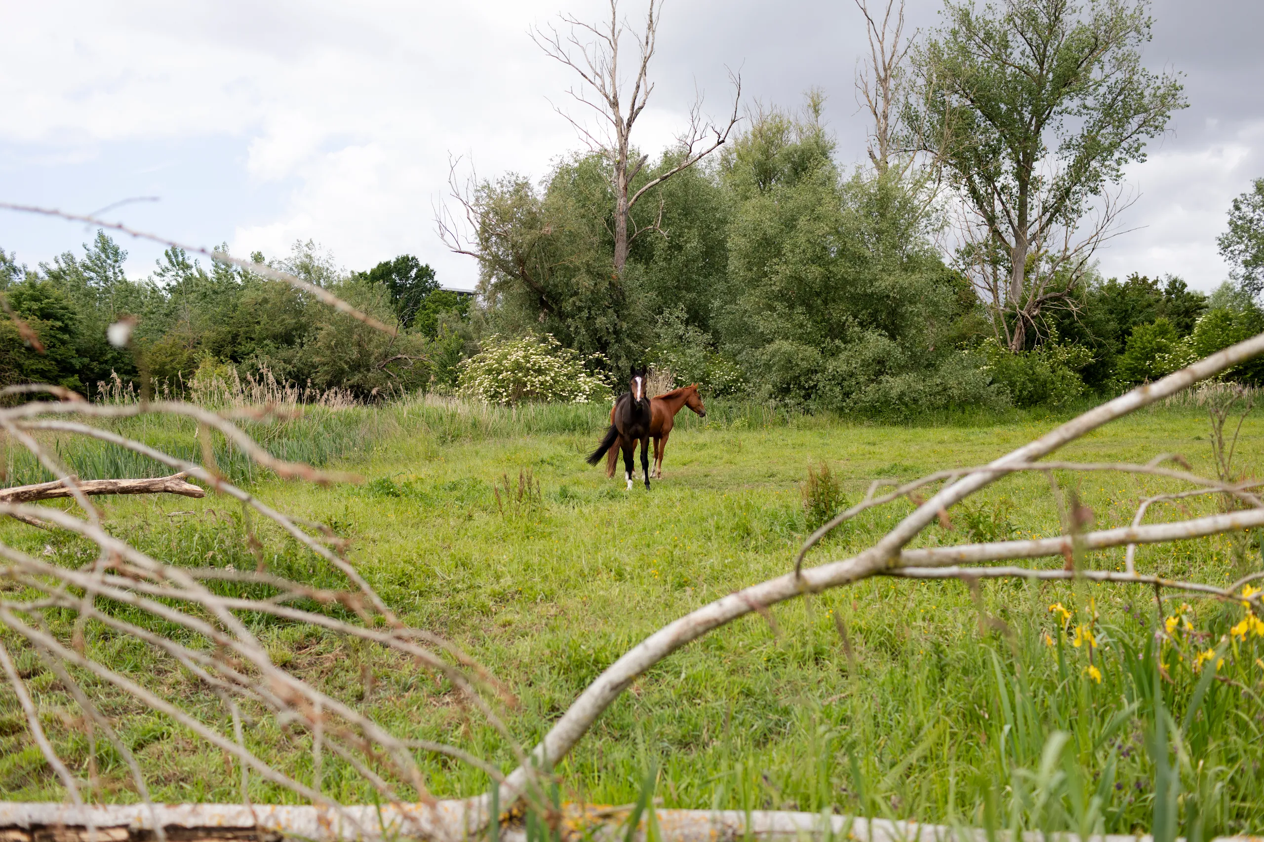
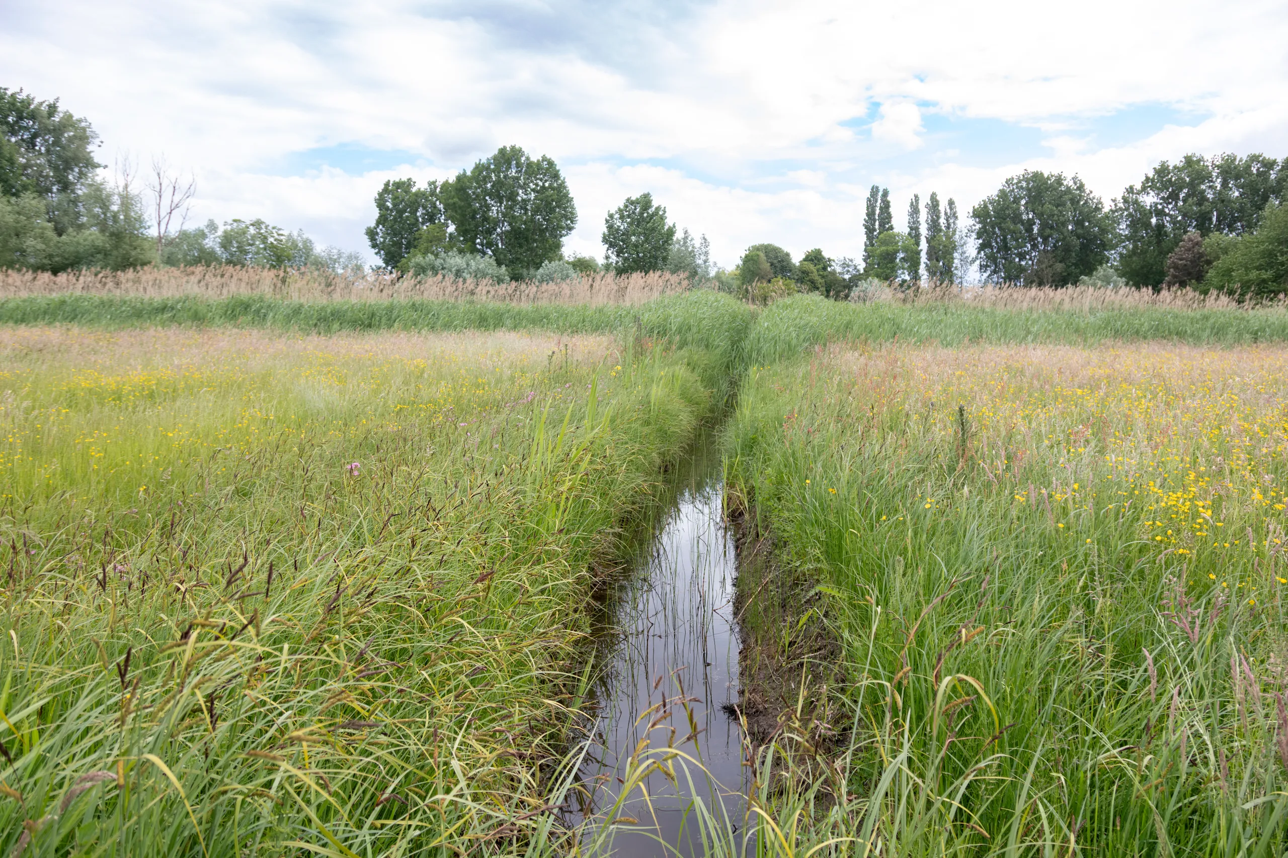
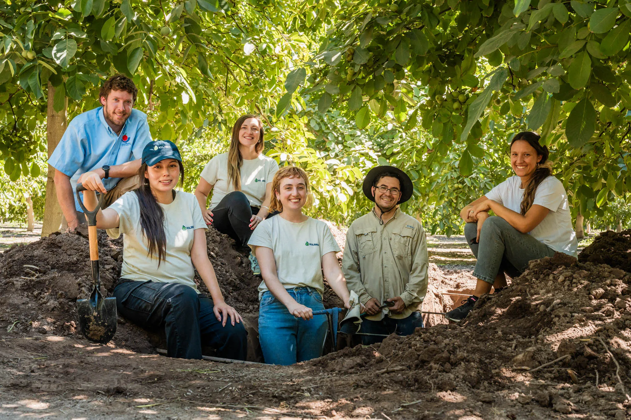
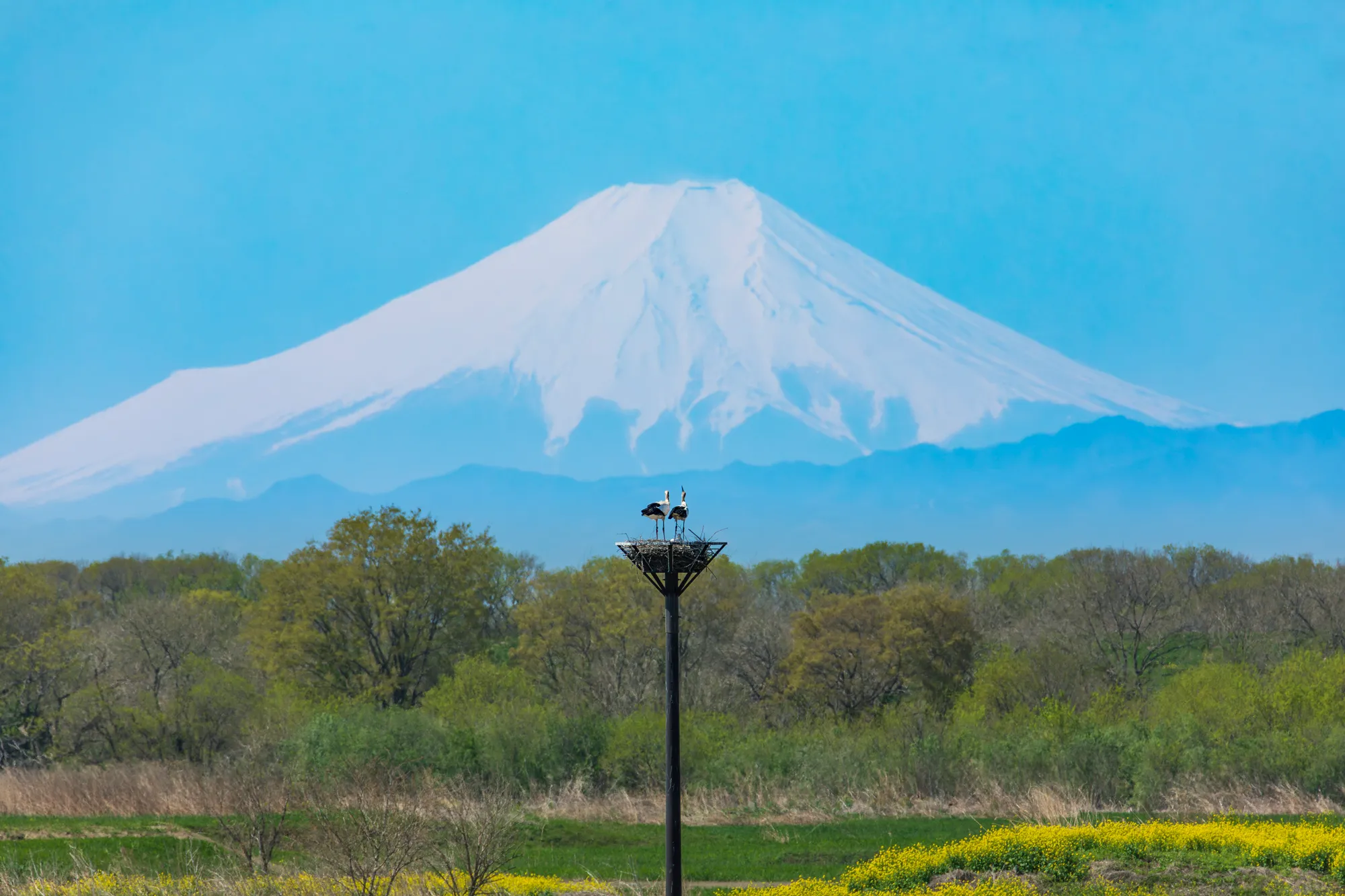
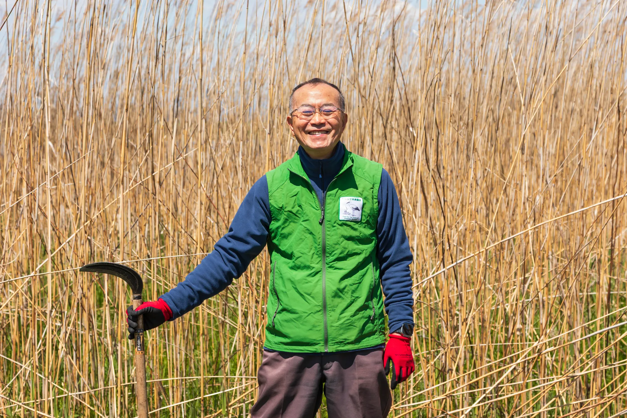
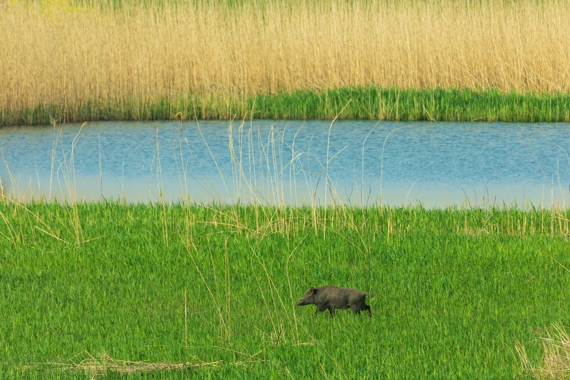
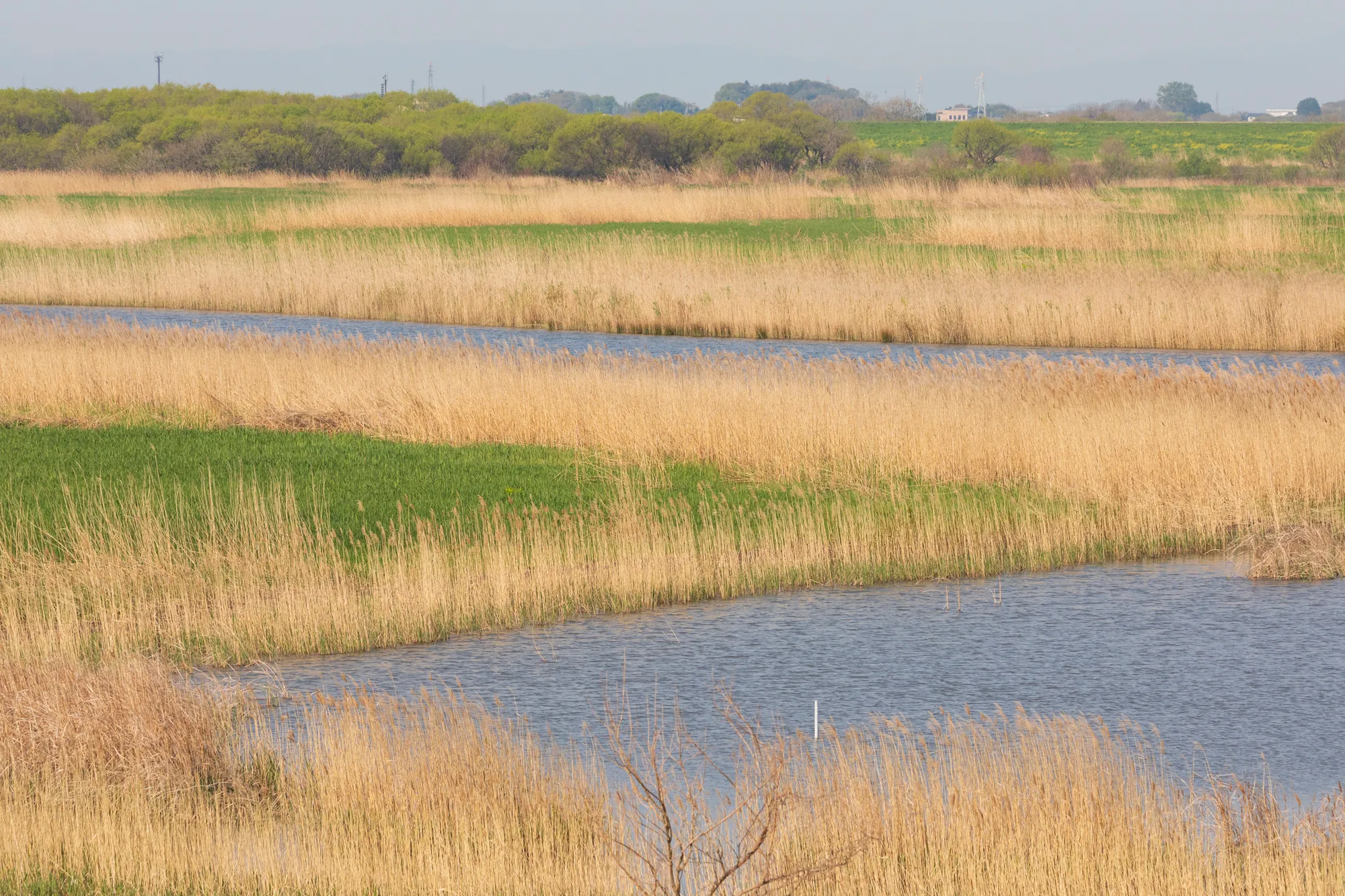
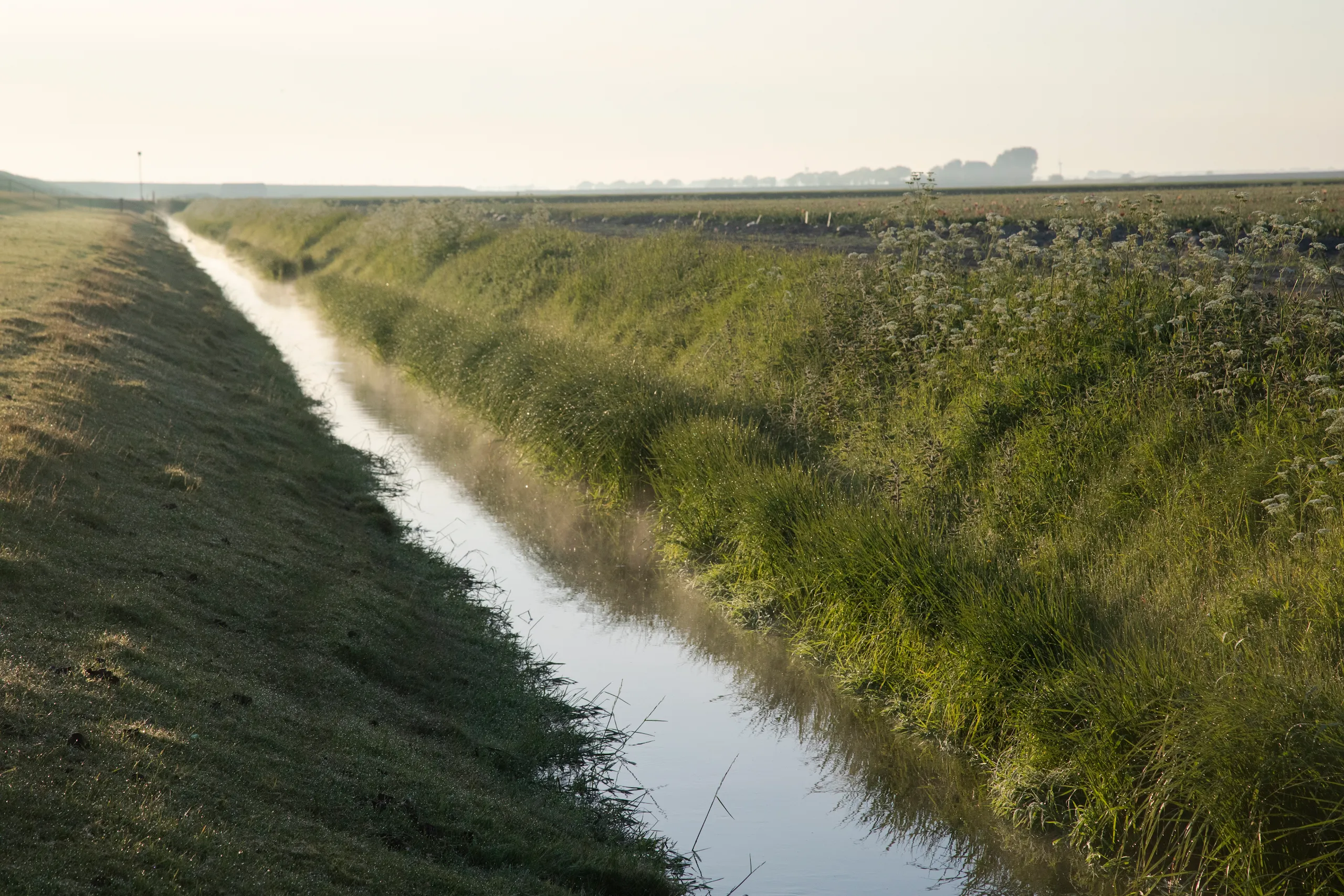
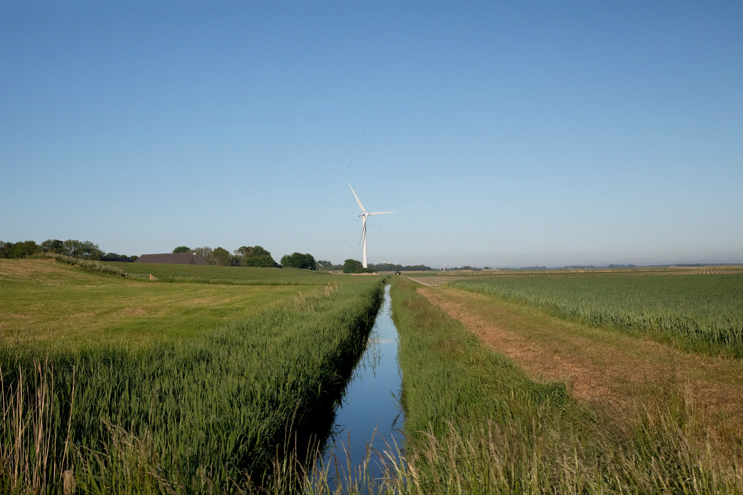
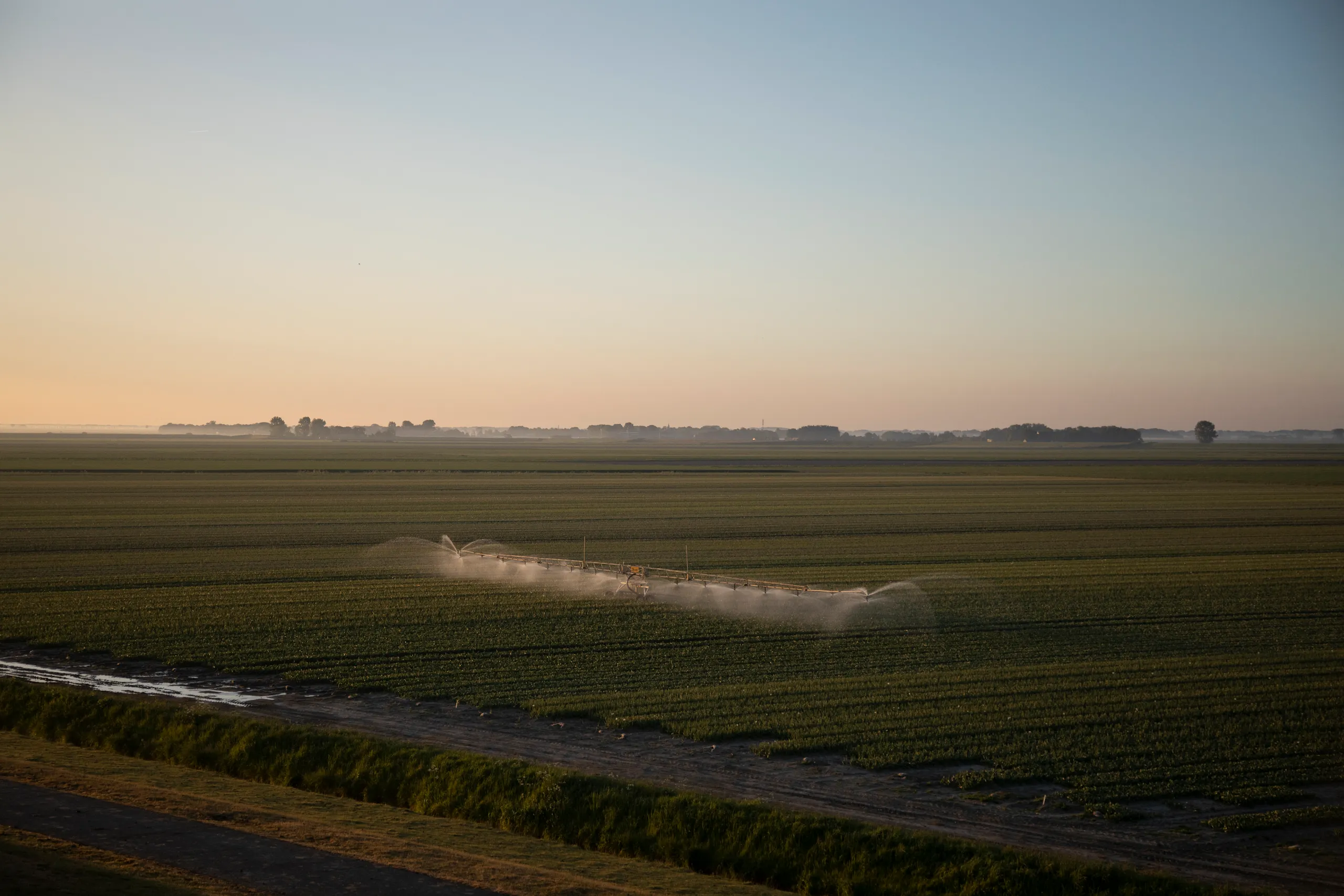
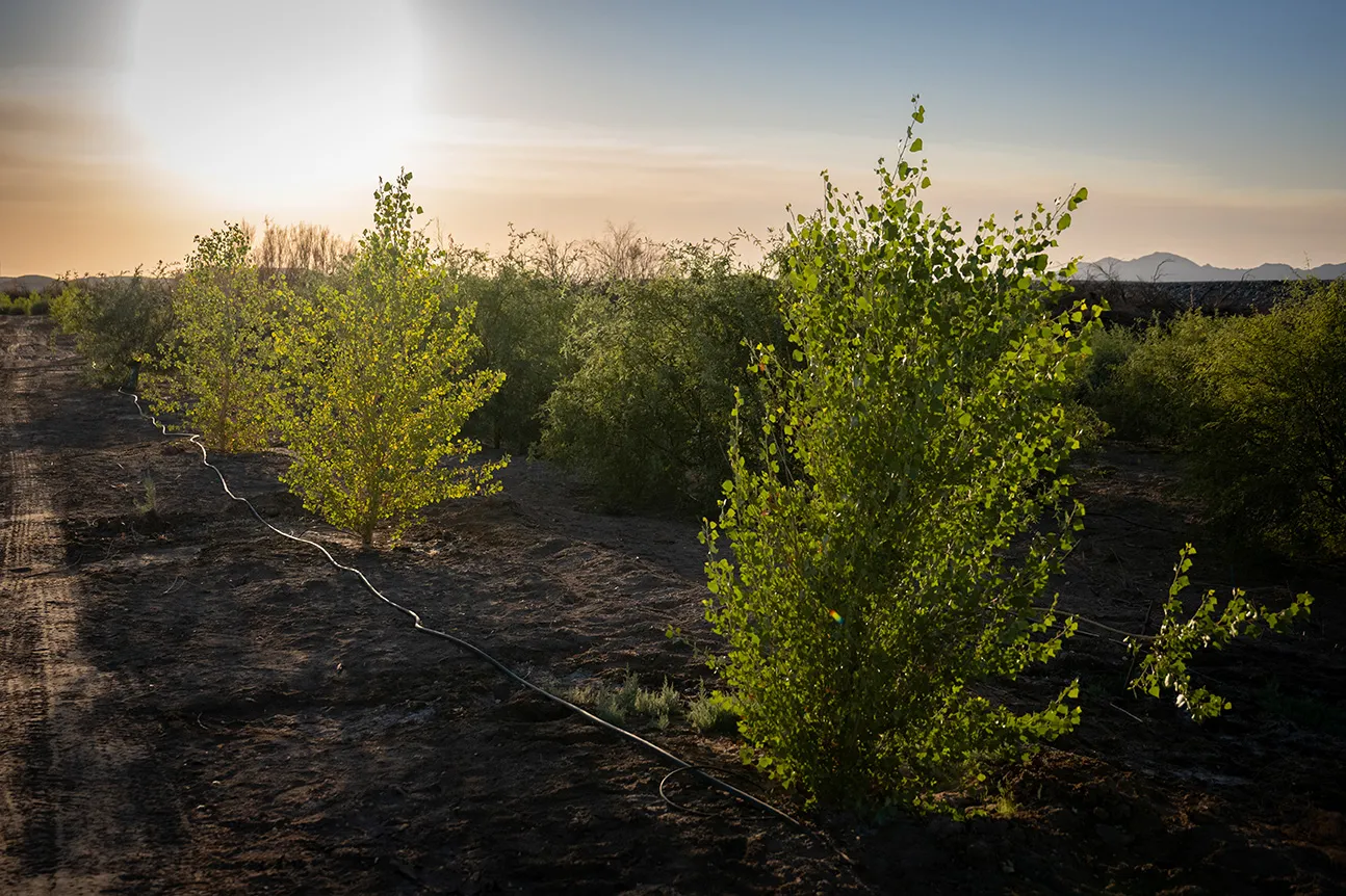
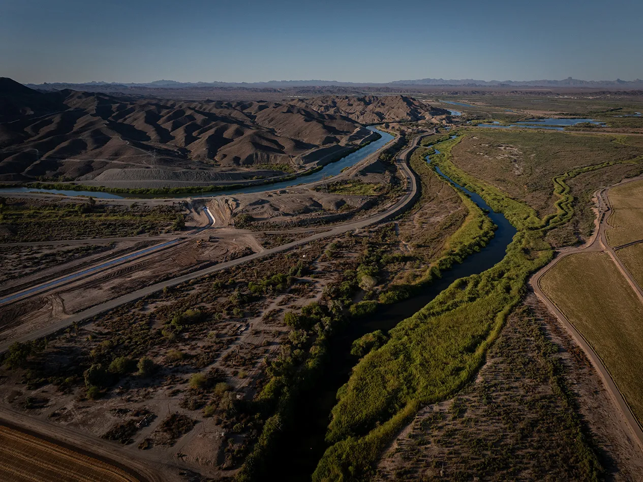
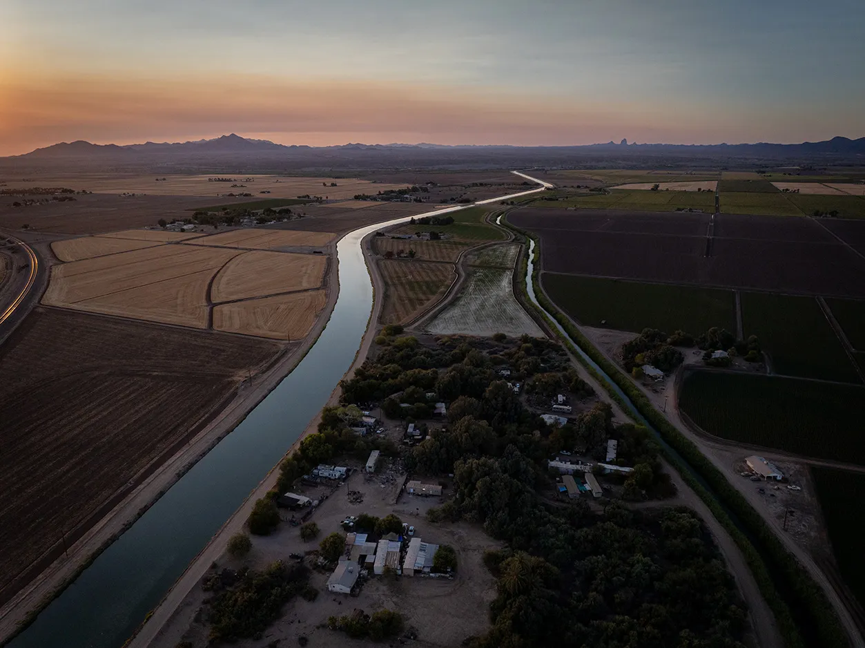
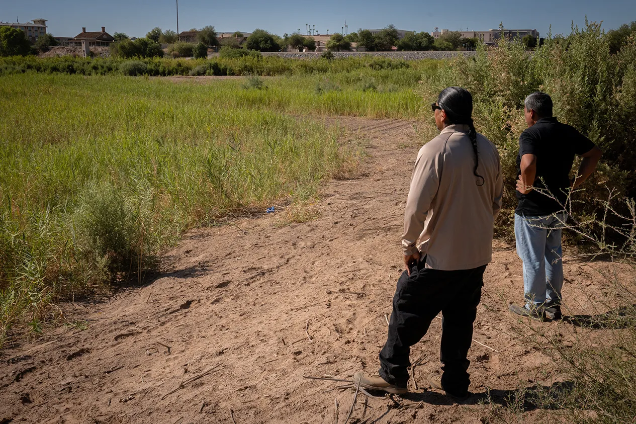
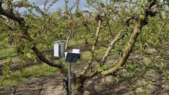
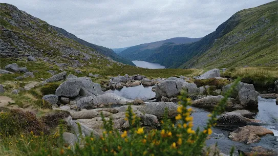
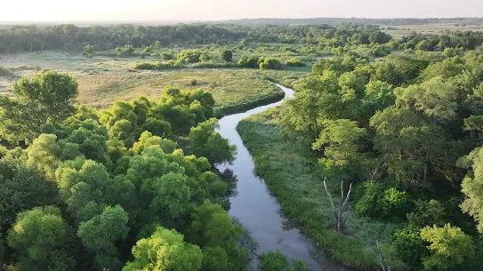
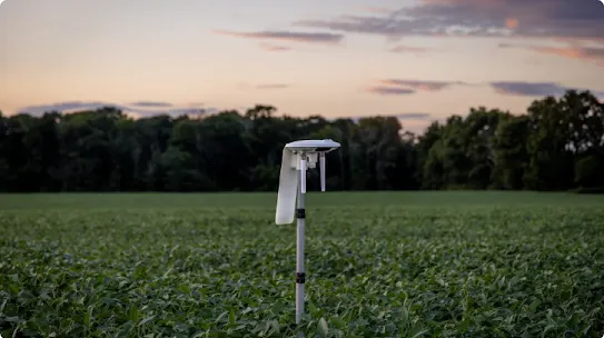
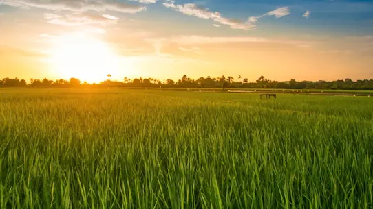
{ "location": "Water conservation at Lake Mead", "latitude": 33.934231, "longitude": -114.52563, "inDevelopment": false, "continentFeatured": false, "topicsFeatured":[], "eyebrow": "", "shortDescription": "We funded a water leasing agreement with the Colorado River Indian Tribes, leaving 50,000 acre-feet of water per year in Lake Mead from 2020-2022 to help stabilize water levels.", "featuredImage": {}, "detailPage": "https://www.gstatic.com/marketing-cms/85/96/8d03b5cd462ea209d060124e0d5e/colorado-indian-tribes-one-pager-march-10-2023.pdf", "linkText": "Read more", "continent": "Colorado River Watershed ", "topics": ["Water Supply Reliability"], "calloutBlocks":[]},{ "location": "Wetland reconnections in Charleston, South Carolina", "latitude": 32.830558, "longitude": -80.053462, "inDevelopment": false, "continentFeatured": false, "topicsFeatured":[], "eyebrow": "", "shortDescription": "The Nature Conservancy reconnected ~20 acres of floodplain wetlands in the Church Creek watershed, restoring the ecosystem and providing more natural flood solutions for the City of Charleston.", "featuredImage": {}, "detailPage": "https://www.gstatic.com/marketing-cms/57/fa/0881bc7d4f2f88dc5d3773205582/church-creek-restoration-project.pdf", "linkText": "Read more", "continent": "Church Creek Watershed ", "topics": ["Aquatic Habitat Restoration"], "calloutBlocks":[]},{ "location": "Prescribed burns to restore longleaf forests in South Carolina", "latitude": 33.077812, "longitude": -79.774901, "inDevelopment": false, "continentFeatured": false, "topicsFeatured":[], "eyebrow": "", "shortDescription": "The Nature Conservancy restored and managed over 40,000 acres of longleaf pine in the Francis Marion National Forest, preventing the encroachment of trees that consume more water. This also improves forest health by reducing susceptibility to wildfires and water stress.", "featuredImage": {}, "detailPage": "https://www.gstatic.com/marketing-cms/b6/bf/d8eef82747bea4727974d7394cde/longleaf-pine-restoration-in-south-carolina.pdf", "linkText": "Read more", "continent": "Cooper River Watershed", "topics": ["Land Conservation and Restoration"], "calloutBlocks":[]},{ "location": "Conservation easements for longleaf forests in South Carolina", "latitude": 33.077812, "longitude": -79.754901, "inDevelopment": false, "continentFeatured": false, "topicsFeatured":[], "eyebrow": "", "shortDescription": "The Nature Conservancy worked with land trust partners to strategically acquire over 500 acres of undeveloped ecosystems for the protection and resilience of the Francis Marion National Forest.", "featuredImage": {}, "detailPage": "https://www.gstatic.com/gumdrop/sustainability/2025-google-water-stewardship-project-portfolio.pdf#page=25", "linkText": "Read more", "continent": "Cooper River Watershed", "topics": ["Land Conservation and Restoration"], "calloutBlocks":[]},{ "location": "Irrigation canal lining in western Arizona", "latitude": 33.93333, "longitude": -114.433333, "inDevelopment": false, "continentFeatured": false, "topicsFeatured":[], "eyebrow": "", "shortDescription": "The Colorado River Indian Tribes (CRIT) lined a leaky irrigation canal in western Arizona, which will reduce water losses as water is conveyed from the Colorado River to agricultural land.", "featuredImage": {}, "detailPage": "https://www.gstatic.com/marketing-cms/85/96/8d03b5cd462ea209d060124e0d5e/colorado-indian-tribes-one-pager-march-10-2023.pdf", "linkText": "Read more", "continent": "Lower Colorado River Watershed", "topics": ["Water Supply Reliability"], "calloutBlocks":[]},{ "location": "Wetland restoration and enhancement in the Andes Mountains", "latitude": -33.6063062656664, "longitude": -69.9957458225781, "inDevelopment": true, "continentFeatured": false, "topicsFeatured":[], "eyebrow": "", "shortDescription": "The Nature Conservancy Chile is restoring and enhancing more than 70 hectares of wetlands degraded from climate change, drought, and agriculture along the Maipo River of Chile’s Andes Mountains.", "featuredImage":{ "path": "37/84/7ee75ca3453c8f5df6480d5d0e47/wetland-restoration-and-enhancement-in-the-andes-mountains.jpg", "width": 2048, "height": 1365 } , "detailPage": "https://www.gstatic.com/marketing-cms/6c/a7/d33e54514fada9fbdead3f443322/maipo-basin-high-andes-wetlands-project.pdf", "linkText": "Read more", "continent": "Yeso and Maipo Alto Basins", "topics": ["Aquatic Habitat Restoration"], "calloutBlocks":[]},{ "location": "Precision irrigation in Chile’s Maipo River Basin", "latitude": -33.225152, "longitude": -70.704189, "inDevelopment": true, "continentFeatured": false, "topicsFeatured":[], "eyebrow": "", "shortDescription": "We are supporting the use of Kilimo's precision irrigation technology in Chile’s Maipo River Basin, helping farmers optimize water use and addressing water scarcity while protecting aquatic ecosystems. The project also contributes to reduced carbon emissions and increased agricultural productivity.", "featuredImage":{ "path": "4c/21/404ce718405e98504366ab9f09af/precision-irrigation-in-chiles-maipo-river-basin.png", "width": 1553, "height": 1031 } , "detailPage": "https://youtu.be/rbhkVNWq_uY", "linkText": "Watch video", "continent": "Maipo River Watershed", "topics": ["Water Supply Reliability"], "calloutBlocks":[]},{ "location": "Riparian buffers with the Alliance for the Chesapeake Bay", "latitude": 38.251, "longitude": -78.893, "inDevelopment": false, "continentFeatured": false, "topicsFeatured":[], "eyebrow": "", "shortDescription": "To protect and restore water quality in the Chesapeake Bay watershed, the Alliance for the Chesapeake Bay installed forested riparian buffers on five farms in Virginia. These edge-of-field buffers will filter runoff from agricultural operations and help control erosion.", "featuredImage":{ "path": "18/da/7d12ec4944d78a9456e17bfb0ced/screenshot-2025-09-01-at-7-22-17-pm.png", "width": 2510, "height": 1410 } , "detailPage": "https://www.youtube.com/watch?v=ZRznP3VPzqA", "linkText": "Watch video", "continent": "Potomac River Watershed", "topics": ["Water Quality"], "calloutBlocks":[]},{ "location": "Converting turfgrass to water-efficient landscapes in Nevada", "latitude": 36.0394985402106, "longitude": -114.982272553592, "inDevelopment": true, "continentFeatured": false, "topicsFeatured":[], "eyebrow": "", "shortDescription": "The City of Henderson provides rebates to customers who convert water-intense turfgrass to more efficient landscapes, saving water in the drought-impacted Lake Mead region.", "featuredImage": {}, "detailPage": "https://www.gstatic.com/gumdrop/sustainability/2025-google-water-stewardship-project-portfolio.pdf#page=19", "linkText": "Read more", "continent": "Lower Colorado River Watershed", "topics": ["Water Supply Reliability"], "calloutBlocks":[]},{ "location": "Turf to xeriscape conversion in Las Vegas", "latitude": 36.275279768009, "longitude": -115.138075584653, "inDevelopment": false, "continentFeatured": false, "topicsFeatured":[], "eyebrow": "", "shortDescription": "The City of Las Vegas converted over 22,500 square feet of turf at the Dula Community Center to landscaping with desert-appropriate plants and a drip irrigation system, reducing water use.", "featuredImage": {}, "detailPage": "https://www.gstatic.com/gumdrop/sustainability/2025-google-water-stewardship-project-portfolio.pdf#page=19", "linkText": "Read more", "continent": " Lower Colorado River Watershed", "topics": ["Water Supply Reliability"], "calloutBlocks":[]},{ "location": "The Dalles Municipal Watershed restoration", "latitude": 45.5141768278005, "longitude": -121.33775128696, "inDevelopment": false, "continentFeatured": false, "topicsFeatured":[], "eyebrow": "", "shortDescription": "The City of The Dalles in Oregon reforested over 150 acres within their municipal watershed that had been burned by wildfires in 2013. This will help improve water quality, contributing to a clean and abundant water supply for the city.", "featuredImage": {}, "detailPage": "https://www.gstatic.com/gumdrop/sustainability/2025-google-water-stewardship-project-portfolio.pdf#page=22", "linkText": "Read more", "continent": "The Dalles Municipal Watershed", "topics": ["Land Conservation and Restoration"], "calloutBlocks":[]},{ "location": "Smart irrigation in Oregon", "latitude": 45.6025654489892, "longitude": -121.20217736196, "inDevelopment": true, "continentFeatured": false, "topicsFeatured":[], "eyebrow": "", "shortDescription": "The Wasco County Soil and Water Conservation District installed more efficient irrigation systems in The Dalles, helping conserve water.", "featuredImage": {}, "detailPage": "https://www.gstatic.com/gumdrop/sustainability/2025-google-water-stewardship-project-portfolio.pdf#page=22", "linkText": "Read more", "continent": "Mill Creek Watershed", "topics": ["Water Supply Reliability"], "calloutBlocks":[]},{ "location": "Canal improvements in Oregon", "latitude": 45.6122412911787, "longitude": -121.51090528099, "inDevelopment": true, "continentFeatured": false, "topicsFeatured":[], "eyebrow": "", "shortDescription": "The East Fork Irrigation District, in partnership with tribal, state, and federal organizations, is redeveloping an open irrigation canal into a piped system to significantly reduce water loss, benefiting supply resilience, habitat, and water quality.", "featuredImage": {}, "detailPage": "https://www.gstatic.com/gumdrop/sustainability/2025-google-water-stewardship-project-portfolio.pdf#page=23", "linkText": "Read more", "continent": "East Fork Hood River Watershed", "topics": ["Water Supply Reliability"], "calloutBlocks":[]},{ "location": "Water demand reductions in the Lower Colorado River Basin", "latitude": 36.1572483626863, "longitude": -114.412734619026, "inDevelopment": true, "continentFeatured": false, "topicsFeatured":[], "eyebrow": "", "shortDescription": "We are supporting an initiative to reduce demand for water in the lower Colorado River Basin through water leasing, crop switching agreements, and improved irrigation infrastructure and habitat on tribal lands. This initiative is also intended to catalyze support from the Bureau of Reclamation through a revolving fund.", "featuredImage": {}, "detailPage": "https://www.gstatic.com/gumdrop/sustainability/2025-google-water-stewardship-project-portfolio.pdf#page=15", "linkText": "Read more", "continent": "Lower Colorado River Basin ", "topics":[], "calloutBlocks":[]},{ "location": "Longleaf pine forest restoration in East Texas", "latitude": 30.876165, "longitude": -95.207242, "inDevelopment": true, "continentFeatured": false, "topicsFeatured":[], "eyebrow": "", "shortDescription": "The Texas Longleaf Team is restoring 2,000 acres of longleaf pine forest, which is more effective at capturing and filtering water than traditional production forestry. This restoration in East Texas will enhance the ecosystem’s resilience to drought, pests and diseases, and wildfires.", "featuredImage": {}, "detailPage": "https://www.gstatic.com/gumdrop/sustainability/2025-google-water-stewardship-project-portfolio.pdf#page=26", "linkText": "Read more", "continent": "Trinity River Watershed", "topics": ["Land Conservation and Restoration"], "calloutBlocks":[]},{ "location": "Streambank stabilization along the Paint Rock River", "latitude": 34.699668, "longitude": -86.309044, "inDevelopment": true, "continentFeatured": false, "topicsFeatured":[], "eyebrow": "", "shortDescription": "The Nature Conservancy (TNC) restored and stabilized three streambank sites in the Paint Rock River Watershed, allowing the river to reconnect with its historic floodplain. TNC is also acquiring conservation easements across approximately 198 acres in Jackson County to protect biodiversity.", "featuredImage": {}, "detailPage": "https://www.gstatic.com/gumdrop/sustainability/2025-google-water-stewardship-project-portfolio.pdf#page=4", "linkText": "Read more", "continent": "Paint Rock River Watershed", "topics": ["Aquatic Habitat Restoration"], "calloutBlocks":[]},{ "location": "Wetland and forest conservation in the Andes Mountains", "latitude": -34.0812311134161, "longitude": -70.091662132512, "inDevelopment": true, "continentFeatured": false, "topicsFeatured":[], "eyebrow": "", "shortDescription": "In the Andes Mountains, The Nature Conservancy is restoring high-altitude wetlands and reconnecting isolated forests by reintroducing native vegetation. This project aims to improve the hydrology, local habitat, and future water security of the Maipo River Basin.", "featuredImage": {}, "detailPage": "https://www.gstatic.com/gumdrop/sustainability/2025-google-water-stewardship-project-portfolio.pdf#page=30", "linkText": "Read more", "continent": "Yeso and Maipo Alto Basin", "topics": ["Aquatic Habitat Restoration"], "calloutBlocks":[]},{ "location": "Environmental water transactions across Texas", "latitude": 32.4432256717943, "longitude": -97.0624873532738, "inDevelopment": true, "continentFeatured": false, "topicsFeatured":[], "eyebrow": "", "shortDescription": "We are funding water rights leasing and the adoption of regenerative farming practices in the Upper Trinity and Upper Colorado River basins. These efforts will restore surface waters, increase streamflow, and improve aquatic habitat for native Texan species.", "featuredImage": {}, "detailPage": "https://www.gstatic.com/gumdrop/sustainability/2025-google-water-stewardship-project-portfolio.pdf#page=27", "linkText": "Read more", "continent": "Upper Colorado and Upper Trinity River Basins", "topics": ["Aquatic Habitat Restoration"], "calloutBlocks":[]},{ "location": "Aquifer storage and recovery in Oregon", "latitude": 45.5426043663629, "longitude": -121.315175222861, "inDevelopment": true, "continentFeatured": false, "topicsFeatured":[], "eyebrow": "", "shortDescription": "We collaborated with the City of The Dalles to construct an aquifer storage and recovery project, which will pump surplus water during the rainy season into an existing aquifer. This water will be used during periods of drought or high demand, providing a more secure water supply for the city.", "featuredImage": {}, "detailPage": "https://www.gstatic.com/gumdrop/sustainability/2023-data-center-water-profile-the-dalles.pdf", "linkText": "Read more", "continent": "Dalles Pool Aquifer Watershed ", "topics": ["Water Supply Reliability"], "calloutBlocks":[]},{ "location": "Wetland habitat restoration for endangered stork in Japan", "latitude": 36.21697, "longitude": 139.674189, "inDevelopment": true, "continentFeatured": false, "topicsFeatured":[], "eyebrow": "", "shortDescription": "The Ramsar Network Japan is working to conserve wetland habitat for local flora and fauna north of Tokyo. The project aims to maintain the rich biodiversity in the area, including the endangered Oriental stork, and foster public awareness of the region’s valuable wetland habitat.", "featuredImage":{ "path": "8f/ea/129794a946b096c9808bab985070/wetland-habitat-restoration-for-endangered-stork-in-japan.png", "width": 1496, "height": 995 } , "detailPage": "https://www.youtube.com/watch?v=t-VSxoBQlRA", "linkText": "Watch video", "continent": "Tone River Watershed", "topics": ["Aquatic Habitat Restoration"], "calloutBlocks":[]},{ "location": "Creation of an eco pond in Singapore", "latitude": 1.345573, "longitude": 103.745724, "inDevelopment": true, "continentFeatured": false, "topicsFeatured":[], "eyebrow": "", "shortDescription": "The Bukit Batok Zone 10 Residents Network is creating an Eco Pond in a public housing estate, a bioretention basin that will provide water for landscaping and cleaning while improving flood protection and water quality.", "featuredImage": {}, "detailPage": "https://www.gstatic.com/gumdrop/sustainability/2025-google-water-stewardship-project-portfolio.pdf#page=41", "linkText": "Read more", "continent": "Bukit Batok Canal", "topics": ["Aquatic Habitat Restoration"], "calloutBlocks":[]},{ "location": "Rainwater harvesting improvements in the Netherlands", "latitude": 53.133165, "longitude": 4.829619, "inDevelopment": true, "continentFeatured": false, "topicsFeatured":[], "eyebrow": "", "shortDescription": "Acacia Water is expanding an aquifer storage and recovery system on the island of Texel to collect a larger volume of excess rainwater during the fall for use during dry summers. As climate change intensifies, this model has the potential to become vital for securing the Netherlands’ agricultural future.", "featuredImage":{ "path": "94/d1/467610e54df899d5fec7e7eb7ea5/rainwater-harvesting-improvements-in-the-netherlands.png", "width": 1540, "height": 1028 } , "detailPage": "https://www.gstatic.com/gumdrop/sustainability/2025-google-water-stewardship-project-portfolio.pdf#page=35", "linkText": "Read more", "continent": "West Frisian Islands Watershed", "topics": ["Water Supply Reliability"], "calloutBlocks":[]},{ "location": "Water management using smart technology in the Netherlands", "latitude": 53.416416, "longitude": 6.397195, "inDevelopment": true, "continentFeatured": false, "topicsFeatured":[], "eyebrow": "", "shortDescription": "Acacia Water, in collaboration with Fixeau, is using smart technology to track salt levels on farmland in Groningen that is lying below sea level, ensuring they don’t rise to a level that would impact crop production. If successful, this model could revolutionize water management throughout the Netherlands.", "featuredImage":{ "path": "98/ab/d12f548748fd96740b3970b94c28/polder-management-using-smart-water-technology-in-the-netherlands.png", "width": 1552, "height": 1031 } , "detailPage": "https://www.gstatic.com/gumdrop/sustainability/2025-google-water-stewardship-project-portfolio.pdf#page=35", "linkText": "Read more", "continent": "Eems & Rhine River Watersheds", "topics": ["Water Supply Reliability"], "calloutBlocks":[]},{ "location": "Double dike construction in the Netherlands", "latitude": 53.394877, "longitude": 6.882399, "inDevelopment": true, "continentFeatured": false, "topicsFeatured":[], "eyebrow": "", "shortDescription": "We are supporting work led by the Province of Groningen and Regional Water Board Noorderzijlvest on the construction of a double dike in the Eems-Dollard Estuary. Google is funding a water control structure that will improve flood safety and create a transitional marsh area for aquaculture, saline agriculture, and bird habitat.", "featuredImage":{ "path": "db/4b/e4c132aa4c3f9507fbb570a247f4/double-dike-construction-in-the-netherlands.png", "width": 1633, "height": 1086 } , "detailPage": "https://www.gstatic.com/gumdrop/sustainability/2025-google-water-stewardship-project-portfolio.pdf#page=35", "linkText": "Read more", "continent": "Princess Margriet Canal Watershed", "topics": ["Aquatic Habitat Restoration"], "calloutBlocks":[]},{ "location": "Wetland restoration in Belgium", "latitude": 51.0462891152104, "longitude": 4.07679027129802, "inDevelopment": true, "continentFeatured": false, "topicsFeatured":[], "eyebrow": "", "shortDescription": "Natuurpunt and local stakeholders are restoring wetlands in Sint-Onolfspolder Nature Reserve in Belgium, providing benefits such as water retention, flood risk reduction, and drought resilience.", "featuredImage":{ "path": "a9/ee/ab8f8fae45709637a6d38a1c9e2d/wetland-restoration-within-polder-in-belgium.png", "width": 1558, "height": 1027 } , "detailPage": "https://www.gstatic.com/gumdrop/sustainability/2025-google-water-stewardship-project-portfolio.pdf#page=32", "linkText": "Read More", "continent": "Schelde Basin", "topics": ["Aquatic Habitat Restoration"], "calloutBlocks":[]},{ "location": "Irrigation conservation with the Quechan Tribe", "latitude": 32.7736095, "longitude": -114.5323943, "inDevelopment": true, "continentFeatured": false, "topicsFeatured":[], "eyebrow": "", "shortDescription": "We are funding the installation of a new solar-powered irrigation pump, enabling the Quechan Tribe to use a more reliable source of water and fallow land during the driest months of the year for conservation and other tribal needs.", "featuredImage": {}, "detailPage": "https://www.gstatic.com/gumdrop/sustainability/2025-google-water-stewardship-project-portfolio.pdf#page=6", "linkText": "Read more", "continent": " Lower Colorado River Basin", "topics": ["Water Supply Reliability"], "calloutBlocks":[]},{ "location": "AI for water-efficient agriculture in Chile’s Maipo River Basin", "latitude": -33.72836264, "longitude": -71.30131944, "inDevelopment": true, "continentFeatured": false, "topicsFeatured":[], "eyebrow": "", "shortDescription": "This project is an expansion of the collaboration with Kilimo to promote the use of precision irrigation technology among farmers in Chile’s Maipo River Basin. The technology uses a “Big Data” solution that incorporates AI, satellite data, and field measurements to provide real-time irrigation information.", "featuredImage": {}, "detailPage": "https://www.gstatic.com/gumdrop/sustainability/2025-google-water-stewardship-project-portfolio.pdf#page=30", "linkText": "Read more", "continent": "Maipo River Watershed", "topics": ["Water Supply Reliability"], "calloutBlocks":[]},{ "location": "Smart irrigation for the Colorado River Indian Tribes", "latitude": 33.954231, "longitude": -114.52563, "inDevelopment": true, "continentFeatured": false, "topicsFeatured":[], "eyebrow": "", "shortDescription": "The Colorado River Indian Tribes is replacing existing flood irrigation infrastructure with new drip irrigation systems that use N-Drip's real-time smart technology to save water in the dry Colorado River region.", "featuredImage": {}, "detailPage": "https://www.gstatic.com/gumdrop/sustainability/2025-google-water-stewardship-project-portfolio.pdf#page=5", "linkText": "Read more", "continent": "Colorado River Watershed", "topics": ["Water Supply Reliability"], "calloutBlocks":[]},{ "location": "Nature reserve restoration in Belgium", "latitude": 50.4585702970151, "longitude": 3.76969791763541, "inDevelopment": false, "continentFeatured": false, "topicsFeatured":[], "eyebrow": "", "shortDescription": "We provided funding for Natagora to expand the Pres de Grand Rieu nature reserve. This project's wetland enhancement will help improve biodiversity, water quality, and public amenities.", "featuredImage": {}, "detailPage": "https://www.gstatic.com/gumdrop/sustainability/2025-google-water-stewardship-project-portfolio.pdf#page=33", "linkText": "Read more", "continent": "Haine Watershed", "topics": ["Aquatic Habitat Restoration"], "calloutBlocks":[]},{ "location": "Piloting technology to make Las Vegas well water safer", "latitude": 36.1745101868079, "longitude": -115.14766208783, "inDevelopment": true, "continentFeatured": false, "topicsFeatured":[], "eyebrow": "", "shortDescription": "WaterStart is working with the Southern Nevada Water Authority to pilot Aquisense's LED UV technology to treat groundwater at the wellhead. This technology has the potential to be implemented across Nevada and the US, providing additional storage and security in water-scarce regions.", "featuredImage": {}, "detailPage": "https://www.gstatic.com/gumdrop/sustainability/2025-google-water-stewardship-project-portfolio.pdf#page=20", "linkText": "Read more", "continent": "Las Vegas Valley Watershed", "topics": ["Water Access, Sanitation, and Hygiene"], "calloutBlocks":[]},{ "location": "Groundwater recharge in Dallas-Fort Worth, Texas", "latitude": 32.8194751723352, "longitude": -97.1322972906188, "inDevelopment": true, "continentFeatured": false, "topicsFeatured":[], "eyebrow": "", "shortDescription": "We are supporting the Tarrant Regional Water District with Aquifer Storage and Recovery to increase groundwater recharge and storage, support regional climate adaptation, and demonstrate opportunities to scale this technology.", "featuredImage": {}, "detailPage": "https://www.gstatic.com/gumdrop/sustainability/2025-google-water-stewardship-project-portfolio.pdf#page=27", "linkText": "Read more", "continent": "Lower Trinity, Cedar, Chambers, and Richland Watersheds", "topics": ["Water Supply Reliability"], "calloutBlocks":[]},{ "location": "Rural water system leak repairs in Cherokee Nation", "latitude": 36.6760003026263, "longitude": -94.8105760194886, "inDevelopment": false, "continentFeatured": false, "topicsFeatured":[], "eyebrow": "", "shortDescription": "We assisted in funding the replacement of a four-mile segment of leaking water pipe, improving water access for a rural community within the Cherokee Nation and decreasing reliance on groundwater.", "featuredImage": {}, "detailPage": "https://www.gstatic.com/gumdrop/sustainability/2025-google-water-stewardship-project-portfolio.pdf#page=21", "linkText": "Read more", "continent": "Neosho River Watershed", "topics": ["Water Supply Reliability"], "calloutBlocks":[]},{ "location": "Forest thinning in the Salt and Verde River watersheds", "latitude": 34.348925, "longitude": -111.135472, "inDevelopment": false, "continentFeatured": false, "topicsFeatured":[], "eyebrow": "", "shortDescription": "We supported the Salt River Project's intiative to restore over 1,000 acres of land that was severely impacted by wildfire to a more historic state. This is expected to reduce wildfire risk, avoid water quality degradation, and increase flows in portions of the Salt and Verde River watersheds.", "featuredImage": {}, "detailPage": "https://www.gstatic.com/gumdrop/sustainability/2025-google-water-stewardship-project-portfolio.pdf#page=6", "linkText": "Read more", "continent": "Salt & Verde River Watersheds", "topics": ["Land Conservation and Restoration"], "calloutBlocks":[]},{ "location": "Dam restoration for native salmon in eastern Oregon", "latitude": 45.3354765657479, "longitude": -117.222462060791, "inDevelopment": true, "continentFeatured": false, "topicsFeatured":[], "eyebrow": "", "shortDescription": "We are supporting an effort by the Wallowa Lake Irrigation District, local tribes, and conservation groups to rehabilitate the Wallowa Lake Dam, reintroduce sockeye salmon, and increase water storage for irrigation and downstream flood protection.", "featuredImage": {}, "detailPage": "https://www.gstatic.com/gumdrop/sustainability/2025-google-water-stewardship-project-portfolio.pdf#page=23", "linkText": "Read more", "continent": "Columbia River Watershed", "topics": ["Aquatic Habitat Restoration"], "calloutBlocks":[]},{ "location": "Colorado River floodplain restoration on the Cocopah Indian Reservation", "latitude": 32.5699981954716, "longitude": -114.801574358712, "inDevelopment": true, "continentFeatured": false, "topicsFeatured":[], "eyebrow": "", "shortDescription": "The Cocopah Indian Tribe and National Audubon Society are constructing infrastructure that will deliver water to 390 acres of restored riparian habitat, enhancing biodiversity and supporting the Cocopah Tribe’s way of life and resilience to climate change.", "featuredImage": {}, "detailPage": "https://www.gstatic.com/gumdrop/sustainability/2025-google-water-stewardship-project-portfolio.pdf#page=6", "linkText": "Read more", "continent": "Lower Colorado River Watershed", "topics": ["Aquatic Habitat Restoration"], "calloutBlocks":[]},{ "location": "Rock Creek longleaf pine restoration in Texas", "latitude": 30.8418177845685, "longitude": -95.06428830245, "inDevelopment": true, "continentFeatured": false, "topicsFeatured":[], "eyebrow": "", "shortDescription": "We’re supporting the Texas Longleaf Team's efforts to restore an additional 1,000 acres of longleaf pine forest in Texas. Longleaf pine ecosystems improve groundwater infiltration and water quality, benefitting regional climate resilience and water availability.", "featuredImage": {}, "detailPage": "https://www.gstatic.com/gumdrop/sustainability/2025-google-water-stewardship-project-portfolio.pdf#page=26", "linkText": "Read more", "continent": "Trinity Watershed", "topics": ["Land Conservation and Restoration"], "calloutBlocks":[]},{ "location": "Irrigation efficiency in the Twin Platte Natural Resources District", "latitude": 41.1755861246316, "longitude": -101.43489352203, "inDevelopment": false, "continentFeatured": false, "topicsFeatured":[], "eyebrow": "", "shortDescription": "We are supporting the use of Arable's precision irrigation technology on farms in the Twin Platte Natural Resources District. Farmers will receive data from smart field sensors and recommendations for how much water crops need, increasing their water use efficiency.", "featuredImage": {}, "detailPage": "https://www.gstatic.com/gumdrop/sustainability/2025-google-water-stewardship-project-portfolio.pdf#page=18", "linkText": "Read more", "continent": "North Platte River Basin ", "topics": ["Water Supply Reliability"], "calloutBlocks":[]},{ "location": "Irrigation conversion in the Platte River Basin", "latitude": 41.3368278965339, "longitude": -98.9096595692582, "inDevelopment": true, "continentFeatured": false, "topicsFeatured":[], "eyebrow": "", "shortDescription": "We are supporting the installation of N-Drip's precision drip irrigation on 1,000 acres of agricultural land in the Platte River Basin, replacing conventional flood irrigation systems. This will increase farmers’ water use efficiency and decrease water demand.", "featuredImage": {}, "detailPage": "https://www.gstatic.com/gumdrop/sustainability/2025-google-water-stewardship-project-portfolio.pdf#page=18", "linkText": "Read more", "continent": "Platte River Basin", "topics": ["Water Supply Reliability"], "calloutBlocks":[]},{ "location": "Groundwater recharge in the Platte River Basin", "latitude": 41.8569849204747, "longitude": -99.2068987571765, "inDevelopment": true, "continentFeatured": false, "topicsFeatured":[], "eyebrow": "", "shortDescription": "This project will increase groundwater recharge in the Platte River Basin by expanding the operational timeframe of irrigation canals, allowing additional water to infiltrate into the aquifer. This recharge would then be available to the watershed during dry periods or naturally flow back into hydrologically connected streams.", "featuredImage": {}, "detailPage": "https://www.gstatic.com/gumdrop/sustainability/2025-google-water-stewardship-project-portfolio.pdf#page=19", "linkText": "Read more", "continent": "Platte River Basin", "topics": ["Water Supply Reliability"], "calloutBlocks":[]},{ "location": "Grade stabilization structures in southwestern Iowa", "latitude": 41.0655975467356, "longitude": -94.8822576993618, "inDevelopment": true, "continentFeatured": false, "topicsFeatured":[], "eyebrow": "", "shortDescription": "The Great Outdoors Foundation is constructing grade stabilization structures across nearly 50 sites in western Iowa to reduce soil erosion, improve downstream water quality, and provide floodwater storage.", "featuredImage": {}, "detailPage": "https://www.gstatic.com/gumdrop/sustainability/2025-google-water-stewardship-project-portfolio.pdf#page=17", "linkText": "Read more", "continent": "Missouri River Basin", "topics": ["Water Quality"], "calloutBlocks":[]},{ "location": "Reservoir repair to improve irrigation efficiencies in the Maipo Basin", "latitude": -33.44008, "longitude": -71.09069, "inDevelopment": false, "continentFeatured": false, "topicsFeatured":[], "eyebrow": "", "shortDescription": "Agua Segura rehabilitated one of the main water reservoirs in Curacaví, recovering lost storage capacity and increasing the water supply available for irrigation. The project will maintain agricultural productivity and increase water availability for agriculture during drought.", "featuredImage":{ "path": "8f/06/f0eb73eb4ff181ccd5d669001fc5/reservoir-repair-to-improve-irrigation-efficiencies.png", "width": 1554, "height": 1031 } , "detailPage": "https://www.youtube.com/watch?v=ia5hQb1NP5Y", "linkText": "Watch video", "continent": "Maipo Basin", "topics": ["Water Supply Reliability"], "calloutBlocks":[]},{ "location": "Canal lining to improve irrigation efficiencies in the Maipo Basin", "latitude": -33.4400757690199, "longitude": -71.0210962155715, "inDevelopment": true, "continentFeatured": false, "topicsFeatured":[], "eyebrow": "", "shortDescription": "Agua Segura is repairing an irrigation canal in Curacaví to make a greater volume of water available for irrigation purposes as well as reduce sedimentation and erosion, thus improving water quality in the canal and downstream.", "featuredImage": {}, "detailPage": "https://www.gstatic.com/gumdrop/sustainability/2025-google-water-stewardship-project-portfolio.pdf#page=31", "linkText": "Read more", "continent": "Maipo Basin", "topics": ["Water Supply Reliability"], "calloutBlocks":[]},{ "location": "Longleaf pine forest restoration in Francis Marion National Forest", "latitude": 33.087812, "longitude": -79.764901, "inDevelopment": true, "continentFeatured": false, "topicsFeatured":[], "eyebrow": "", "shortDescription": "The Nature Conservancy is restoring an additional 90,000 acres of longleaf pine forest in South Carolina’s Francis Marion National Forest. Through prescribed burns, the project will improve the health of this ecosystem, increasing habitat value and protecting against damaging wildfires.", "featuredImage": {}, "detailPage": "https://www.gstatic.com/gumdrop/sustainability/2025-google-water-stewardship-project-portfolio.pdf#page=24", "linkText": "Read more", "continent": "Cooper River Watershed", "topics": ["Land Conservation and Restoration"], "calloutBlocks":[]},{ "location": "Fuels reduction treatments in Tahoe National Forest", "latitude": 39.50627, "longitude": -120.080694, "inDevelopment": true, "continentFeatured": false, "topicsFeatured":[], "eyebrow": "", "shortDescription": "The National Forest Foundation is conducting forest thinning and management on nearly 2,500 acres of land in the Tahoe National Forest, reducing the risk of catastrophic wildfire and helping protect an important community water supply.", "featuredImage": {}, "detailPage": "https://www.gstatic.com/gumdrop/sustainability/2025-google-water-stewardship-project-portfolio.pdf#page=14", "linkText": "Read more", "continent": "Truckee River Watershed ", "topics": ["Land Conservation and Restoration"], "calloutBlocks":[]},{ "location": "Agricultural best management practices in the Red River Basin", "latitude": 36.6368663484976, "longitude": -86.7952797771967, "inDevelopment": true, "continentFeatured": false, "topicsFeatured":[], "eyebrow": "", "shortDescription": "We are partnering with the Cumberland River Compact to fund agricultural best management practices on farms in the Red River Watershed in Tennessee and Kentucky. This project is designed to reduce pollution from agriculture and improve soil health.", "featuredImage": {}, "detailPage": "https://www.gstatic.com/gumdrop/sustainability/2025-google-water-stewardship-project-portfolio.pdf#page=25", "linkText": "Read more", "continent": "Red River Watershed ", "topics": ["Water Quality"], "calloutBlocks":[]},{ "location": "Reforestation of previously mined lands in Tennessee", "latitude": 36.506318, "longitude": -83.980266, "inDevelopment": true, "continentFeatured": false, "topicsFeatured":[], "eyebrow": "", "shortDescription": "The Cumberland River Compact is reforesting approximately 50 acres of previously mined land in Tennessee, which will improve water infiltration and conditions for the natural restoration of creeks and streams.", "featuredImage":{ "path": "2d/54/ce3e75bb4bc79ef40e208aa946c5/reforestation-of-previously-mined-lands-in-tennessee.png", "width": 1555, "height": 1034 } , "detailPage": "https://www.gstatic.com/gumdrop/sustainability/2025-google-water-stewardship-project-portfolio.pdf#page=25", "linkText": "Read more", "continent": "Cumberland River Watershed ", "topics": ["Land Conservation and Restoration"], "calloutBlocks":[]},{ "location": "Singapore Botanic Gardens water restoration", "latitude": 1.31405958330276, "longitude": 103.81588677791, "inDevelopment": true, "continentFeatured": false, "topicsFeatured":[], "eyebrow": "", "shortDescription": "This project will improve water quality and increase the availability of sustainable irrigation water in the Singapore Botanic Gardens through desilting and dredging of lakes and a new water storage tank. Restoration of the lakes will also support Singapore’s rich biodiversity.", "featuredImage":{ "path": "fc/ea/be7b2434437897dac30d3f6acaf8/singapore-botanic-gardens-water-restoration.png", "width": 796, "height": 533 } , "detailPage": "https://www.gstatic.com/gumdrop/sustainability/2025-google-water-stewardship-project-portfolio.pdf#page=42", "linkText": "Read more", "continent": "", "topics": ["Water Supply Reliability"], "calloutBlocks":[]},{ "location": "Slim Creek wetland restoration in Ohio", "latitude": 39.9521750919385, "longitude": -82.5858350678572, "inDevelopment": true, "continentFeatured": false, "topicsFeatured":[], "eyebrow": "", "shortDescription": "The Nature Conservancy is restoring the Slim Creek Wetland in Central Ohio, allowing it to naturally filter and store runoff from more than 700 acres, the majority of which are agricultural fields. This collaborative project is expected to reduce nutrient pollution and harmful algal blooms in Buckeye Lake, protecting water quality.", "featuredImage": {}, "detailPage": "https://www.gstatic.com/gumdrop/sustainability/2025-google-water-stewardship-project-portfolio.pdf#page=21", "linkText": "Read more", "continent": "Licking River Watershed", "topics": ["Water Quality"], "calloutBlocks":[]},{ "location": "Resilience of Lower Colorado River water", "latitude": 36.1289174523043, "longitude": -114.466362342771, "inDevelopment": true, "continentFeatured": false, "topicsFeatured":[], "eyebrow": "", "shortDescription": "Google is supporting a set of collective activities, including water leasing, land conversion, and alternative economic development, to conserve water in the Lower Colorado River Basin, store water in Lake Mead, and eventually deliver water to ecological restoration sites in the Colorado River Delta.", "featuredImage": {}, "detailPage": "https://www.gstatic.com/gumdrop/sustainability/2025-google-water-stewardship-project-portfolio.pdf#page=5", "linkText": "Read more", "continent": "Lower Colorado River Basin", "topics": ["Water Supply Reliability"], "calloutBlocks":[]},{ "location": "Irrigation conversion pilot in Taiwan", "latitude": 24.13533, "longitude": 120.42318, "inDevelopment": true, "continentFeatured": false, "topicsFeatured":[], "eyebrow": "", "shortDescription": "We are funding a pilot project to install N-Drip's precision drip irrigation on rice fields in Taiwan, replacing existing flood irrigation systems to help reduce agricultural water demand. This pilot will measure and calculate water savings and methane emissions while demonstrating system performance.", "featuredImage": {}, "detailPage": "https://www.gstatic.com/gumdrop/sustainability/2025-google-water-stewardship-project-portfolio.pdf#page=42", "linkText": "Read more", "continent": "Da’an/Dajia River Watershed", "topics": ["Water Supply Reliability"], "calloutBlocks":[]},{ "location": "Brenton Slough wetland protection in Iowa", "latitude": 41.7250154352081, "longitude": -93.7998693402934, "inDevelopment": true, "continentFeatured": false, "topicsFeatured":[], "eyebrow": "", "shortDescription": "We are supporting the Great Outdoors Foundation to acquire and protect one of Central Iowa’s largest natural wetlands. The wetland will be owned and preserved by Polk County Conservation, providing critical habitat as well as water quality, flood protection, and recharge benefits.", "featuredImage": {}, "detailPage": "https://www.gstatic.com/gumdrop/sustainability/2025-google-water-stewardship-project-portfolio.pdf#page=17", "linkText": "Read more", "continent": "Mississippi River Watershed ", "topics": ["Aquatic Habitat Restoration"], "calloutBlocks":[]},{ "location": "Regenerative agriculture in North-Central Oklahoma", "latitude": 36.7340216595604, "longitude": -97.9829141929831, "inDevelopment": true, "continentFeatured": false, "topicsFeatured":[], "eyebrow": "", "shortDescription": "Indigo Ag is supporting local farmers to implement regenerative agriculture practices on approximately 4,000 acres of farmland in north-central Oklahoma. These practices aim to restore and protect water resources, soil health, and biodiversity.", "featuredImage": {}, "detailPage": "https://www.gstatic.com/gumdrop/sustainability/2025-google-water-stewardship-project-portfolio.pdf#page=21", "linkText": "Read more", "continent": "Arkansas River Watershed", "topics": ["Water Supply Reliability"], "calloutBlocks":[]},{ "location": "LIFE Atlantic Valleys assessment in Belgium", "latitude": 50.4727856664545, "longitude": 3.86765204110897, "inDevelopment": true, "continentFeatured": false, "topicsFeatured":[], "eyebrow": "", "shortDescription": "Google is helping the NGO Natagora to assess the impact of its LIFE Atlantic Valleys project on water bodies at the ecosystem scale. The project aims to restore 230 hectares in the Hainaut and Brabant valleys in Belgium for habitat conservation and species protection.", "featuredImage": {}, "detailPage": "https://www.gstatic.com/gumdrop/sustainability/2025-google-water-stewardship-project-portfolio.pdf#page=33", "linkText": "Read more", "continent": "Escaut River Watershed", "topics": ["Aquatic Habitat Restoration"], "calloutBlocks":[]},{ "location": "Irrigation efficiency in the Oklahoma Panhandle", "latitude": 36.7551069995972, "longitude": -100.008679369738, "inDevelopment": true, "continentFeatured": false, "topicsFeatured":[], "eyebrow": "", "shortDescription": "We are supporting the use of Arable's precision irrigation technology on approximately 27,000 acres of farms on the eastern side of the Oklahoma Panhandle. Farmers will receive data from smart field sensors and recommendations for how much water crops need, increasing their water use efficiency.", "featuredImage": {}, "detailPage": "https://www.gstatic.com/gumdrop/sustainability/2025-google-water-stewardship-project-portfolio.pdf#page=22", "linkText": "Read more", "continent": "Arkansas River Watershed", "topics": ["Water Supply Reliability"], "calloutBlocks":[]},{ "location": "Dublin green stormwater management", "latitude": 53.35343, "longitude": -6.291757, "inDevelopment": false, "continentFeatured": false, "topicsFeatured":[], "eyebrow": "", "shortDescription": "We supported the installation of planter boxes at public and residential buildings in Dublin. These boxes capture water that could have overflowed into the River Liffey and the Dublin Bay via the city's sewer system. This effort aimed to help improve the water quality of the River Liffey and reduce localized flooding risk.", "featuredImage": {}, "detailPage": "", "linkText": "Read more", "continent": "Dodder Watershed", "topics":[], "calloutBlocks":[]},{ "location": "Protection program for the Vartry Catchment", "latitude": 52.98243, "longitude": -6.37744, "inDevelopment": true, "continentFeatured": false, "topicsFeatured":[], "eyebrow": "", "shortDescription": "In Ireland, we are supporting the East Wicklow River Trust to develop a protection program for the Vartry, a small coastal catchment that is Dublin’s main source of potable water.", "featuredImage": {}, "detailPage": "", "linkText": "Read more", "continent": "Vartry Catchment", "topics":[], "calloutBlocks":[]},{ "location": "Green stormwater management in Ringsend, Ireland", "latitude": 53.339935, "longitude": -6.222117, "inDevelopment": true, "continentFeatured": false, "topicsFeatured":[], "eyebrow": "", "shortDescription": "In Dublin, we are supporting the installation of rainwater planter boxes connected to rooftops, diverting rainwater and helping reduce untreated stormwater flowing into the River Liffey and Dublin Bay via the city’s combined sewer system.", "featuredImage": {}, "detailPage": "", "linkText": "Read more", "continent": "Liffey Basin", "topics":[], "calloutBlocks":[]},{ "location": "Water Leakage Control in Changhua Proof of Concept", "latitude": 24.08081812, "longitude": 120.5413292, "inDevelopment": false, "continentFeatured": false, "topicsFeatured":[], "eyebrow": "", "shortDescription": "Google is supporting the Taiwan Water Corporation, the national utility, in conducting a water leakage control study at three sites within Changhua County. These trials will evaluate multiple leak detection technologies to guide future full-scale implementation.", "featuredImage": {}, "detailPage": "", "linkText": "", "continent": "Old Choshui/Dadu River Watersheds", "topics":[], "calloutBlocks":[]},{ "location": "Clark County School District Baseball and Softball Turf Conversion", "latitude": 36.27920463, "longitude": -115.3180521, "inDevelopment": false, "continentFeatured": false, "topicsFeatured":[], "eyebrow": "", "shortDescription": "The Southern Nevada Water Authority (SNWA) is prioritizing conservation efforts that reduce outdoor consumptive water use. Google is helping fund rebates for turf conversions on athletic fields at 11 high schools in the Clark County School District, converting over 1.5 million square feet of natural grass to artificial turf.", "featuredImage": {}, "detailPage": "", "linkText": "", "continent": " Lower Colorado River Watershed", "topics":[], "calloutBlocks":[]},{ "location": "Xipuzi Drainage Gravel Contact Oxidation Process (GCOP)", "latitude": 24.79270653, "longitude": 120.9982481, "inDevelopment": false, "continentFeatured": false, "topicsFeatured":[], "eyebrow": "", "shortDescription": "Google is supporting Hsinchu City and Taiwan’s Ministry of Environment to implement a Gravel Contact Oxidation Process (GCOP) system along the Xipuzi drainage to improve the quality of water in the Touqian River watershed. GCOP systems use gravel to remove pollutants from wastewater and surface water.", "featuredImage": {}, "detailPage": "https://blog.google/outreach-initiatives/sustainability/advancing-water-stewardship-in-taiwan/", "linkText": "Read more", "continent": "Touqian River Watershed", "topics":[], "calloutBlocks":[]},{ "location": "Irrigation Optimization to Support Water Stewardship in the Carolinas", "latitude": 34.72824933, "longitude": -81.90015466, "inDevelopment": false, "continentFeatured": false, "topicsFeatured":[], "eyebrow": "", "shortDescription": "Google is supporting the deployment of Arable's precision irrigation technology across 22,000 acres in North and South Carolina. By utilizing smart field sensors, farmers receive real-time data and specific irrigation recommendations to significantly improve water use efficiency.", "featuredImage": {}, "detailPage": "https://blog.google/feed/north-south-carolina-watershed-health/", "linkText": "Read more", "continent": "Edisto-South Carolina, Santee, and Lower Pee Dee Basins", "topics":[], "calloutBlocks":[]},{ "location": "Integrated Approach to Improve Irrigation Efficiencies - Irrigation Efficiency", "latitude": -33.430, "longitude": -71.017, "inDevelopment": false, "continentFeatured": false, "topicsFeatured":[], "eyebrow": "", "shortDescription": "Agua Segura, with support from Google, is assisting farmers to implement Agrow Analytics technology, an innovative irrigation management software that leverages weather and field data to apply precise water volumes, improving irrigation efficiency across 150 hectares of farms.", "featuredImage": {}, "detailPage": "", "linkText": "", "continent": "Maipo River Basin", "topics":[], "calloutBlocks":[]},{ "location": "Rhine Niederland Moor Wetland Creation", "latitude": 49.87484331, "longitude": 7.561229141, "inDevelopment": false, "continentFeatured": false, "topicsFeatured":[], "eyebrow": "", "shortDescription": "In the state of Hesse, the NABU Foundation for Natural Heritage, with support from Google, is working to protect Büttelborn Bruchwiesen, a large peatland area that provides significant habitat for bird species and other wildlife. These efforts will preserve vital ecosystems and enhance natural groundwater recharge.", "featuredImage": {}, "detailPage": "", "linkText": "", "continent": "Rhine Watershed", "topics":[], "calloutBlocks":[]},{ "location": "Quechan Tribe Water Conservation and Restoration Project Phase 2", "latitude": 32.81719429, "longitude": -114.5145, "inDevelopment": false, "continentFeatured": false, "topicsFeatured":[], "eyebrow": "", "shortDescription": "Google is supporting The Fort Yuma Quechan Indian Tribe, BlueCommons and the Bard Water District to line an irrigation canal, expand seasonal agricultural fallowing, and restore habitat in the water scarce Lower Colorado River Basin. This project will reduce agricultural water demand and help secure the Tribe’s long-term water supplies.", "featuredImage": {}, "detailPage": "", "linkText": "", "continent": "Lower Colorado River Basin", "topics":[], "calloutBlocks":[]},{ "location": "N-Drip Texas Connect Solution", "latitude": 36.15038957, "longitude": -100.7766671, "inDevelopment": false, "continentFeatured": false, "topicsFeatured":[], "eyebrow": "", "shortDescription": "Google is supporting the deployment of N-Drip's Connect System across 1,400 acres of cotton and corn cropland in the Texas High Plains. This project aims to optimize center-pivot irrigation efficiency, helping reduce overall water demand in the region.", "featuredImage": {}, "detailPage": "", "linkText": "", "continent": "Ogallala Aquifer", "topics":[], "calloutBlocks":[]},{ "location": "City of Dunlap Pleasant View Pond Projects", "latitude": 41.85176976, "longitude": -95.587338, "inDevelopment": false, "continentFeatured": false, "topicsFeatured":[], "eyebrow": "", "shortDescription": "The Great Outdoors Foundation, with support from Google, is constructing stormwater capture and treatment structures at Pleasant View Pond in Dunlap, Iowa to help improve downstream water quality and enhance the local habitat.", "featuredImage": {}, "detailPage": "", "linkText": "", "continent": "Missouri River Basin", "topics":[], "calloutBlocks":[]},{ "location": "Grade Stabilization Structures for Water Quality and Flood Control Phase II", "latitude": 41.08751078, "longitude": -94.90657671, "inDevelopment": false, "continentFeatured": false, "topicsFeatured":[], "eyebrow": "", "shortDescription": "Building on previous work with the Great Outdoors Foundation, Google is supporting the construction of 30 additional grade stabilization structures across over 2,800 acres of land in southwestern Iowa. The structures will help reduce soil erosion and improve downstream water quality.", "featuredImage": {}, "detailPage": "", "linkText": "", "continent": "Missouri River Basin", "topics":[], "calloutBlocks":[]},{ "location": "Mons Public Building Leak Detection", "latitude": 50.46237597, "longitude": 3.946830075, "inDevelopment": false, "continentFeatured": false, "topicsFeatured":[], "eyebrow": "", "shortDescription": "Agua Segura, with support from Google, is implementing Shayp’s Internet of Things (IoT) leak detection system at 240 public buildings in Mons, Belgium by 2030, helping prevent water waste.", "featuredImage": {}, "detailPage": "https://blog.google/outreach-initiatives/sustainability/google-is-fighting-water-leaks-in-belgium/", "linkText": "Read more", "continent": "Haine River Watershed", "topics":[], "calloutBlocks":[]},{ "location": "50 Million Mussels Project - Phase III", "latitude": 38.78856553, "longitude": -77.01405559, "inDevelopment": false, "continentFeatured": false, "topicsFeatured":[], "eyebrow": "", "shortDescription": "The Potomac Riverkeeper Network, with support from Google, is establishing a freshwater mussel nursery in National Harbor as a floating laboratory that demonstrates the potential of mussels to contribute to improved water quality.", "featuredImage": {}, "detailPage": "", "linkText": "", "continent": "Potomac River Watershed", "topics":[], "calloutBlocks":[]},{ "location": "SWAN Systems Precision Irrigation Initiative", "latitude": 39.03826057, "longitude": -93.64145453, "inDevelopment": false, "continentFeatured": false, "topicsFeatured":[], "eyebrow": "", "shortDescription": "Google is supporting the deployment of SWAN Systems advanced irrigation decision-support platform across farmland in the Kansas City, Missouri region, enabling farmers to optimize irrigation and nutrient application.", "featuredImage": {}, "detailPage": "", "linkText": "", "continent": "Missouri River Basin", "topics":[], "calloutBlocks":[]},{ "location": "Regenerative Agriculture, Western Missouri", "latitude": 39.72637271, "longitude": -94.67508373, "inDevelopment": false, "continentFeatured": false, "topicsFeatured":[], "eyebrow": "", "shortDescription": "Indigo Ag, with support from Google, is helping local farmers implement regenerative agriculture practices, such as planting cover crops, on approximately 4,000 acres in western Missouri. These practices aim to protect water resources, soil health, and biodiversity.", "featuredImage": {}, "detailPage": "", "linkText": "", "continent": "Missouri River Basin", "topics":[], "calloutBlocks":[]},{ "location": "Regenerative Agriculture, Northern Texas", "latitude": 32.32825575, "longitude": -96.92864542, "inDevelopment": false, "continentFeatured": false, "topicsFeatured":[], "eyebrow": "", "shortDescription": "Indigo Ag, with support from Google, is helping local farmers implement regenerative agriculture practices, such as planting cover crops, on approximately 4,000 acres in northern Texas. These practices aim to protect water resources, soil health, and biodiversity.", "featuredImage": {}, "detailPage": "", "linkText": "", "continent": "Upper Trinity River Basin", "topics":[], "calloutBlocks":[]},{ "location": "Gila River Farms Modernization and Water Resilience Project", "latitude": 33.15675675, "longitude": -111.8456792, "inDevelopment": false, "continentFeatured": false, "topicsFeatured":[], "eyebrow": "", "shortDescription": "Google is supporting The Gila River Indian Community (GRIC) in deploying Rubicon Water’s sensor and software technology across 590 acres of the Tribally owned and managed Gila River Farms. The project aims to conserve water, retain water in Lake Mead, and provide economic benefits to GRIC.", "featuredImage": {}, "detailPage": "", "linkText": "", "continent": "Lower Colorado River Watershed", "topics":[], "calloutBlocks":[]},{ "location": "Taiwan Irrigation Conversion", "latitude": 24.10278322, "longitude": 120.5884708, "inDevelopment": false, "continentFeatured": false, "topicsFeatured":[], "eyebrow": "", "shortDescription": "Google is supporting N-Drip to convert 340 acres of rice paddy in Changhua County from flood to drip irrigation, supplying water directly to the crop root zone and decreasing agricultural water demand.", "featuredImage": {}, "detailPage": "", "linkText": "", "continent": "Wu River Watershed", "topics":[], "calloutBlocks":[]},{ "location": "Revitalizing the Gete Valley", "latitude": 50.83603822, "longitude": 5.052394578, "inDevelopment": false, "continentFeatured": false, "topicsFeatured":[], "eyebrow": "", "shortDescription": "Natuurpunt, with support from Google, is restoring wetlands across ten zones of the Gete River Valley, a portion of the Scheldt River basin. The restored wetlands will provide habitat for local wildlife, reduce flood risk in the area, improve water quality, and increase water storage capacity.", "featuredImage": {}, "detailPage": "", "linkText": "", "continent": "Scheldt River Basin", "topics":[], "calloutBlocks":[]},{ "location": "Enhancing Prescribed Fire Efforts in Kentucky and Tennessee ", "latitude": 35.80024152, "longitude": -86.59099527, "inDevelopment": false, "continentFeatured": false, "topicsFeatured":[], "eyebrow": "", "shortDescription": "The Nature Conservancy, with support from Google, is restoring 125,000 acres of Appalachian forest in Tennessee and Kentucky to help improve ecosystem health, boost biodiversity, and protect against severe wildfires and reduced water quality.", "featuredImage": {}, "detailPage": "", "linkText": "", "continent": "Cumberland and Tennessee River Basins", "topics":[], "calloutBlocks":[]},{ "location": "Salt River Project Biochar Initiative", "latitude": 34.50315524, "longitude": -111.8345381, "inDevelopment": false, "continentFeatured": false, "topicsFeatured":[], "eyebrow": "", "shortDescription": "Google is supporting The Salt River Project in piloting the use of biochar on 50 acres of farmland in the Verde Valley to help improve soil moisture retention and reduce irrigation water demand for agriculture.", "featuredImage": {}, "detailPage": "", "linkText": "", "continent": "Verde River Watershed", "topics":[], "calloutBlocks":[]},{ "location": "Trinity River Basin Hydrologic Restoration and Wetland Enhancement", "latitude": 29.63299, "longitude": -94.615457, "inDevelopment": false, "continentFeatured": false, "topicsFeatured":[], "eyebrow": "", "shortDescription": "Google is supporting the creation and enhancement of up to 1,000 acres of wetlands in the Trinity-San Jacinto Estuary via freshwater deliveries through the Texas Water Trade. These deliveries will benefit waterfowl and shorebirds and improve conditions for fish and wildlife, particularly during periods of drought.", "featuredImage": {}, "detailPage": "", "linkText": "", "continent": "Neches-Trinity Coastal Watershed", "topics":[], "calloutBlocks":[]},{ "location": "Optimized irrigation efficiency in the Middle Columbia River Basin", "latitude": 45.062722, "longitude": -119.907192, "inDevelopment": false, "continentFeatured": false, "topicsFeatured":[], "eyebrow": "", "shortDescription": "Google is supporting the deployment of Phytech's advanced irrigation sensing technologies across 5,000 acres of farmland in the Middle Columbia River Basin, reducing water withdrawals for irrigation and supporting aquatic habitats.", "featuredImage": {}, "detailPage": "", "linkText": "", "continent": "Middle Columbia River Basin", "topics":[], "calloutBlocks":[]},{ "location": "Allen County Wetland Property", "latitude": 41.25026657, "longitude": -85.04493137, "inDevelopment": false, "continentFeatured": false, "topicsFeatured":[], "eyebrow": "", "shortDescription": "ACRES Land Trust, with support from Google, is protecting over 20 acres of wetland in Allen County, Indiana from being converted into a housing development, ensuring continued recharge into the aquifer used by the local town.", "featuredImage": {}, "detailPage": "", "linkText": "", "continent": "Saint Joseph River Watershed", "topics":[], "calloutBlocks":[]},{ "location": "Irrigation Efficiency in the Missouri River Basin", "latitude": 42.05236846, "longitude": -95.7228308, "inDevelopment": false, "continentFeatured": false, "topicsFeatured":[], "eyebrow": "", "shortDescription": "Google is supporting the deployment of Phytech's advanced irrigation sensing technologies across 8,000 acres of farmland in western Iowa, reducing water withdrawals for irrigation and supporting aquatic habitat.", "featuredImage": {}, "detailPage": "", "linkText": "", "continent": "Missouri River Basin", "topics":[], "calloutBlocks":[]},{ "location": "Cocopah Tribe North Reservation Habitat Restoration Project ", "latitude": 32.73658719, "longitude": -114.6827421, "inDevelopment": false, "continentFeatured": false, "topicsFeatured":[], "eyebrow": "", "shortDescription": "The Cocopah Tribe, with support from Google, is restoring 41 acres of aquatic, wetland, and riparian habitat on Tribal Lands by rerouting treated wastewater effluent to a new side channel, benefitting at-risk species.", "featuredImage": {}, "detailPage": "", "linkText": "", "continent": "Lower Colorado River Watershed", "topics":[], "calloutBlocks":[]},{ "location": "NE Indiana Cover Crop Incentive Program ", "latitude": 41.23865405, "longitude": -84.95298166, "inDevelopment": false, "continentFeatured": false, "topicsFeatured":[], "eyebrow": "", "shortDescription": "Google is supporting the The Nature Conservancy, Indiana Department of Agriculture, and USDA, to incentivize the adoption of cover crops across 9 counties in northeast Indiana, to help improve regional water quality.", "featuredImage": {}, "detailPage": "", "linkText": "", "continent": "Maumee River Watershed", "topics":[], "calloutBlocks":[]},{ "location": "Irrigation Efficiency in the Central Platte Natural Resources District (Phase II)", "latitude": 40.92217241, "longitude": -98.40655997, "inDevelopment": false, "continentFeatured": false, "topicsFeatured":[], "eyebrow": "", "shortDescription": "Google is supporting the use of Arable's precision irrigation technology on 9,000 acres of farmland in the Central Platte Natural Resources District. Farmers will receive data from smart field sensors and tailored recommendations for the volume and timing of irrigation, minimizing water losses and enhancing efficiency.", "featuredImage": {}, "detailPage": "", "linkText": "", "continent": "Platte River Basin", "topics":[], "calloutBlocks":[]},{ "location": "Irrigation Efficiency in the Trinity and Neches River Basins", "latitude": 32.28282947, "longitude": -96.44452136, "inDevelopment": false, "continentFeatured": false, "topicsFeatured":[], "eyebrow": "", "shortDescription": "Google is supporting the use of Arable's precision irrigation technology on 9,000 acres of farmland in the Trinity and Neches River Basins. Farmers will receive data from smart field sensors and tailored recommendations for the volume and timing of irrigation, minimizing water losses and enhancing efficiency.", "featuredImage": {}, "detailPage": "", "linkText": "", "continent": "Trinity and Neches River Basins", "topics":[], "calloutBlocks":[]},{ "location": "Peatland Restoration in Wicklow Mountains National Park", "latitude": 53.148423, "longitude": -6.318817, "inDevelopment": false, "continentFeatured": false, "topicsFeatured":[], "eyebrow": "", "shortDescription": "Just south of Dublin in the Wicklow Mountains, Google is supporting Peatland Finance Ireland (PFI)’s mission to accelerate large-scale peatland restoration.", "featuredImage": {}, "detailPage": "", "linkText": "", "continent": "River Liffey Watershed", "topics":[], "calloutBlocks":[]},{ "location": "Wingecarribee River Post-Fire Restoration", "latitude": -34.498691, "longitude": 150.372171, "inDevelopment": false, "continentFeatured": false, "topicsFeatured":[], "eyebrow": "", "shortDescription": "Greening Australia, with support from Google, is rehabilitating critical habitat along the Wingecarribee River in New South Wales. This project will help enhance biodiversity and water quality in the catchment region and build greater climate resilience into the landscape.", "featuredImage": {}, "detailPage": "", "linkText": "", "continent": "Hawkesbury River Watershed", "topics":[], "calloutBlocks":[]}
{ "continent": "North America", "continentName": "North America", "latitude": 40, "longitude": -100, "calloutBlocks":[]},{ "continent": "Asia", "continentName": "Asia", "latitude": 22, "longitude": 112, "calloutBlocks":[]},{ "continent": "Europe", "continentName": "Europe", "latitude": 50, "longitude": 10, "calloutBlocks":[]},{ "continent": "South America", "continentName": "South America", "latitude": -18, "longitude": -60, "calloutBlocks":[]}
{ "name": "Aquatic Habitat Restoration", "topicValue": "Aquatic Habitat Restoration", "calloutBlocks":[]},{ "name": "Water Supply Reliability", "topicValue": "Water Supply Reliability", "calloutBlocks":[]},{ "name": "Land Conservation and Restoration", "topicValue": "Land Conservation and Restoration", "calloutBlocks":[]},{ "name": "Water Quality", "topicValue": "Water Quality", "calloutBlocks":[]},{ "name": "Water Access, Sanitation, and Hygiene", "topicValue": "Water Access, Sanitation, and Hygiene", "calloutBlocks":[]}