我們的水資源管理計畫
我們推動水資源管理計畫,資助水資源補充及集水區維護行動,並攜手在地組織,解決營運據點所在集水區的難題。
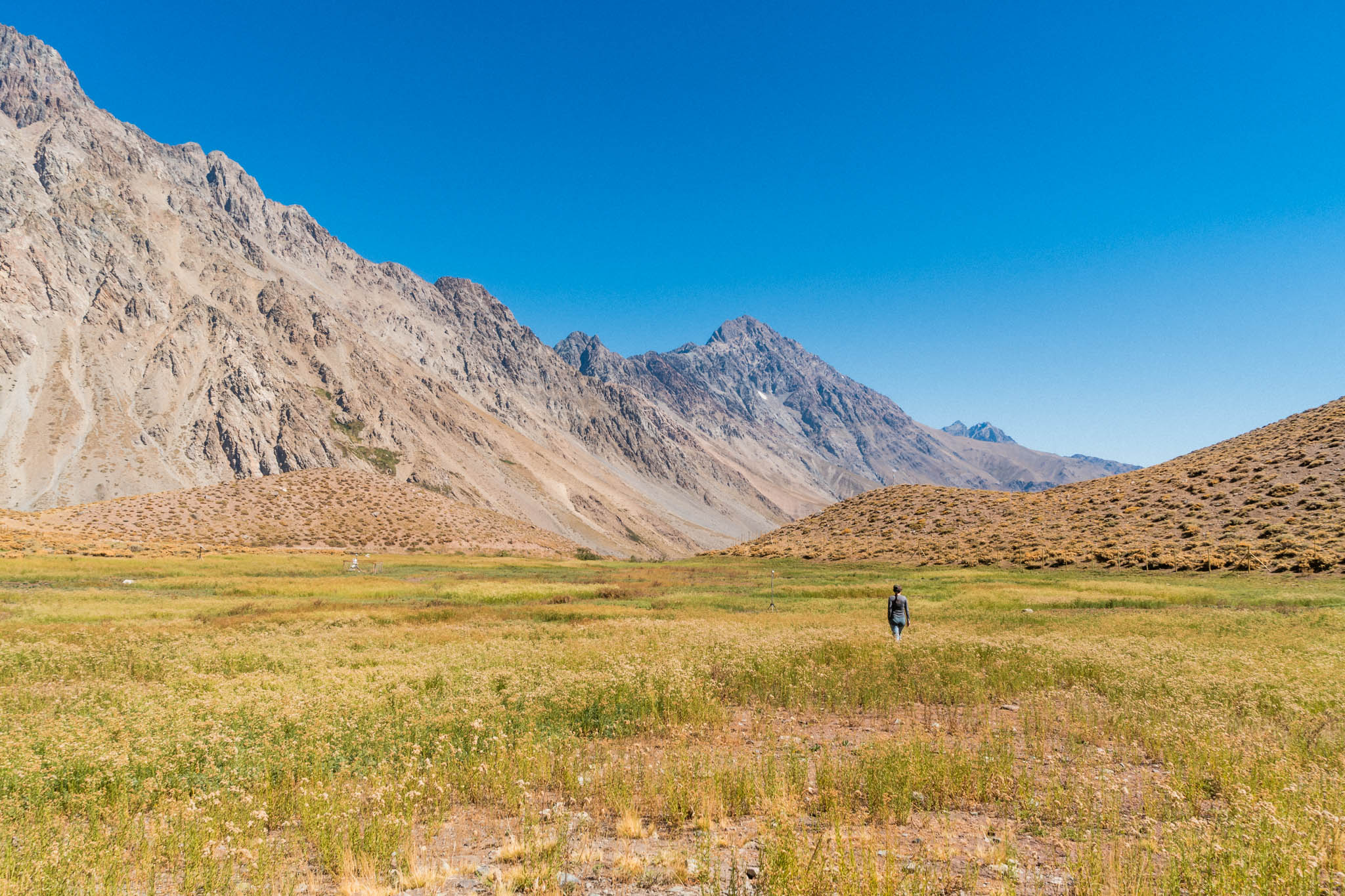
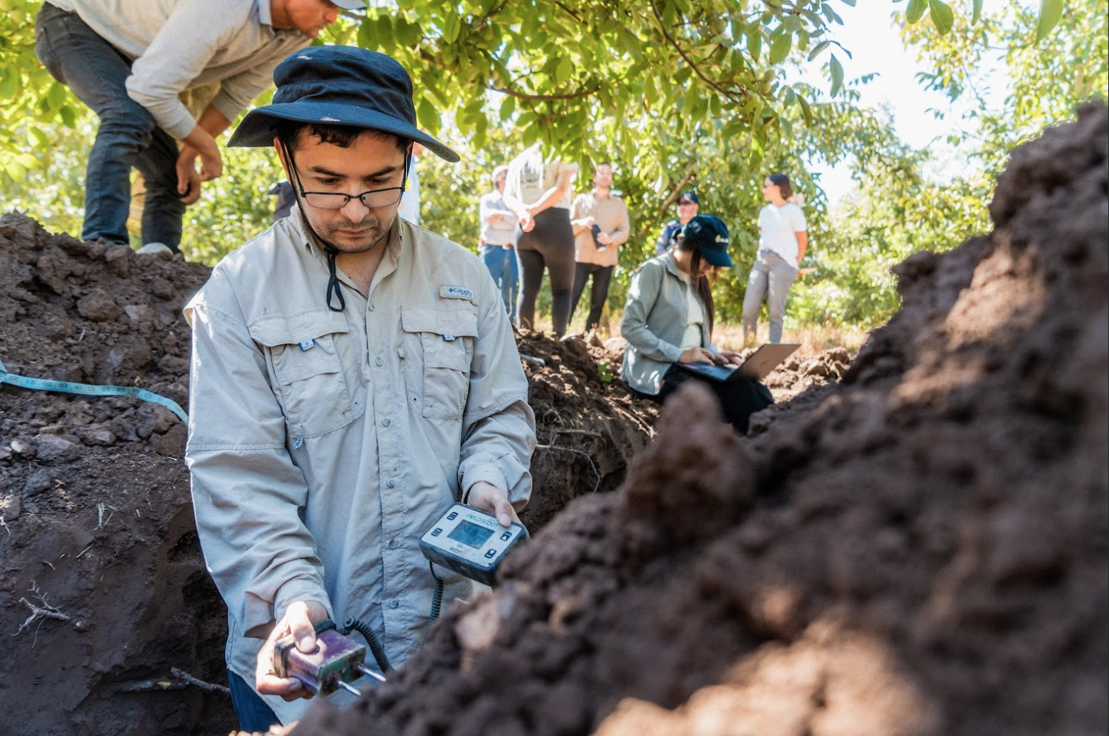
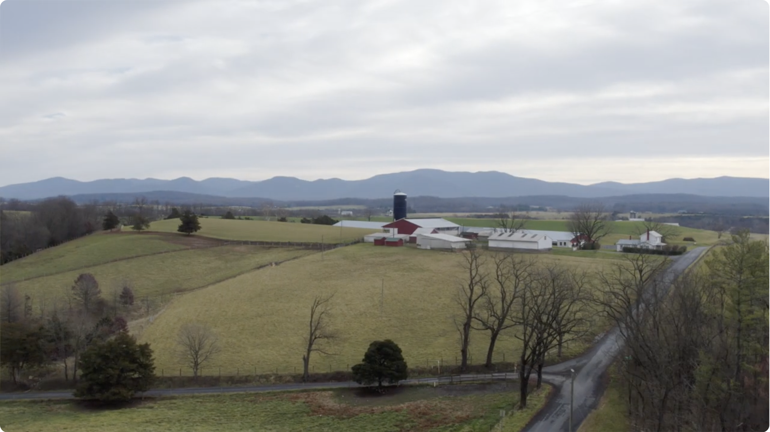
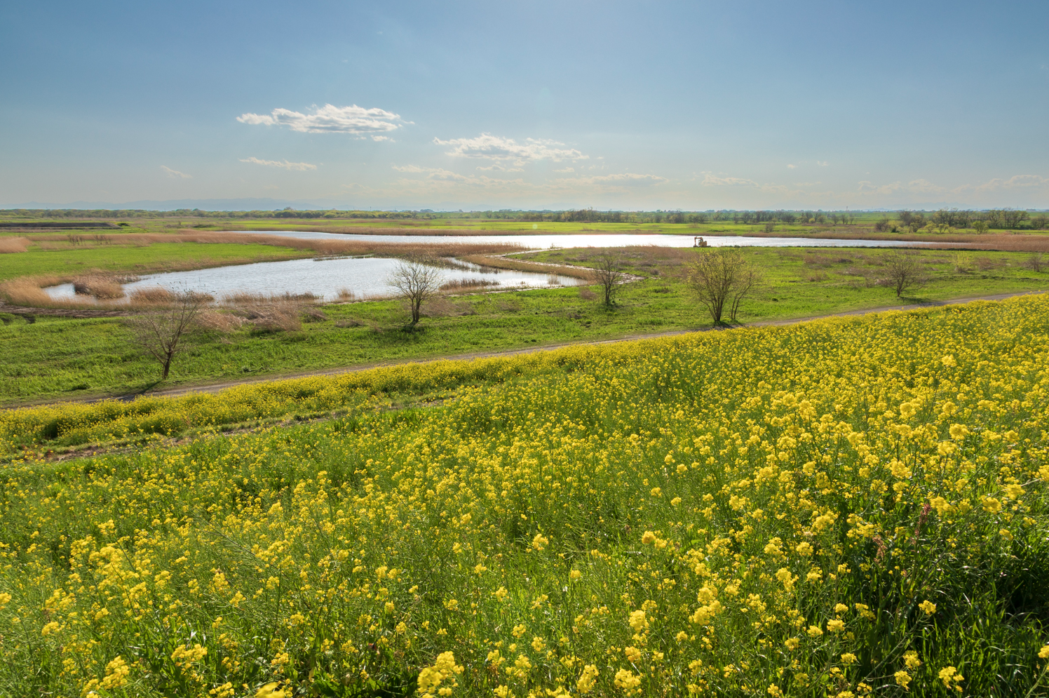
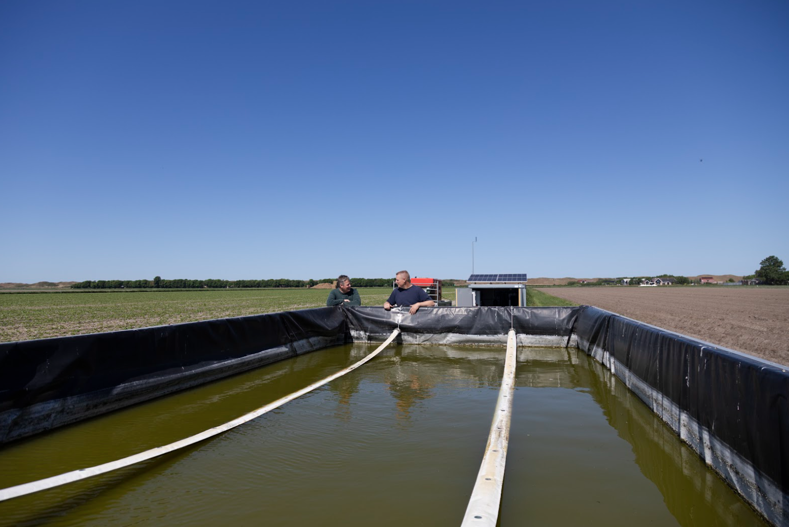
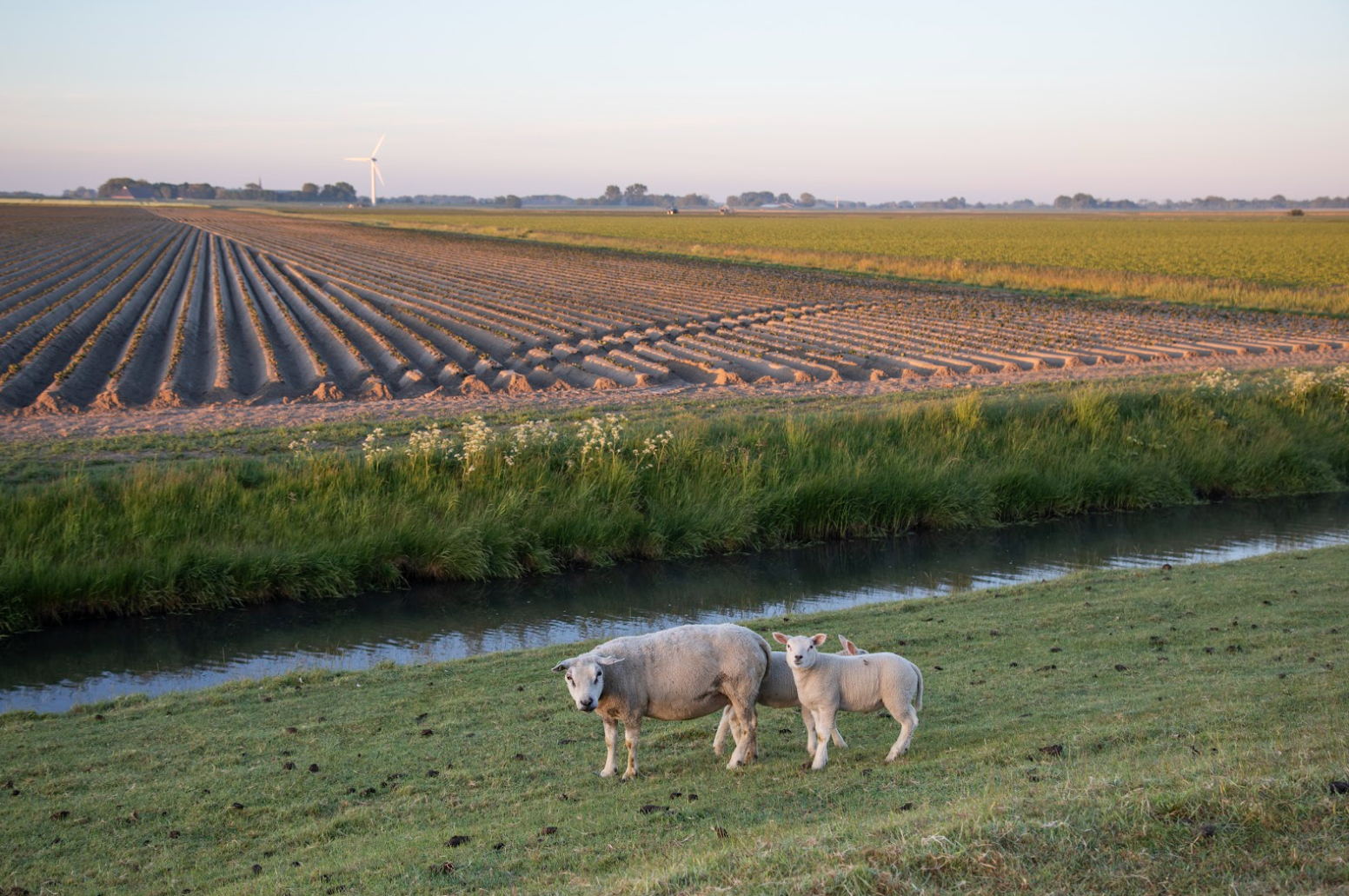
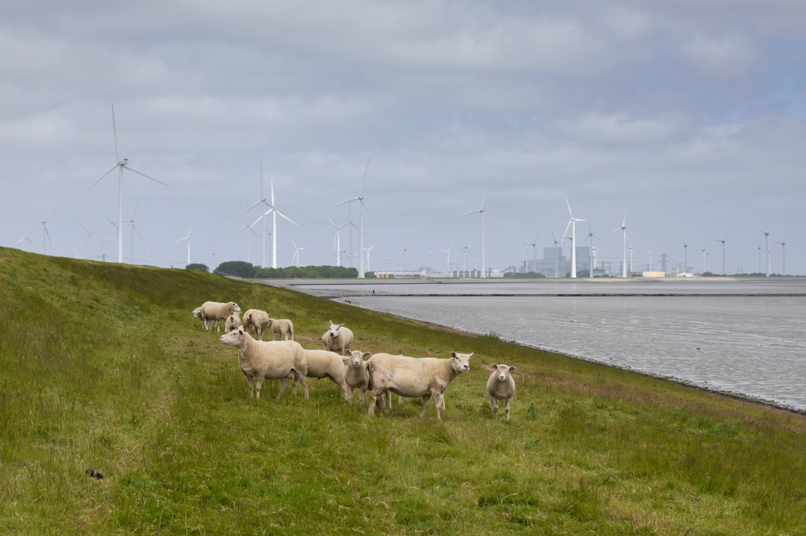
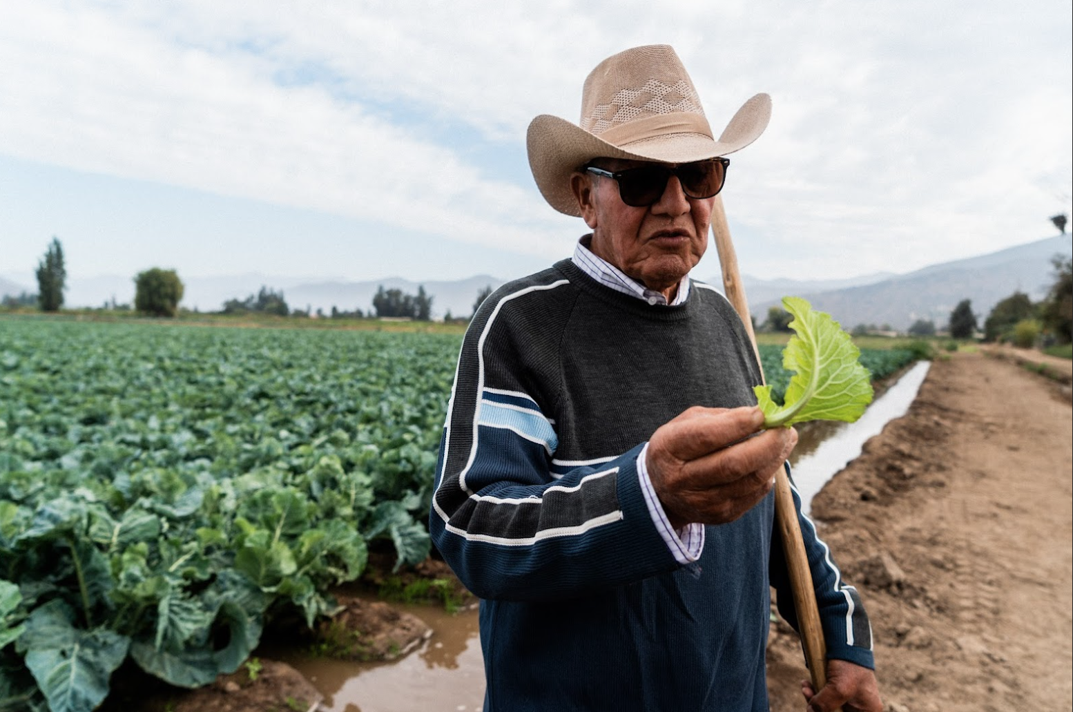
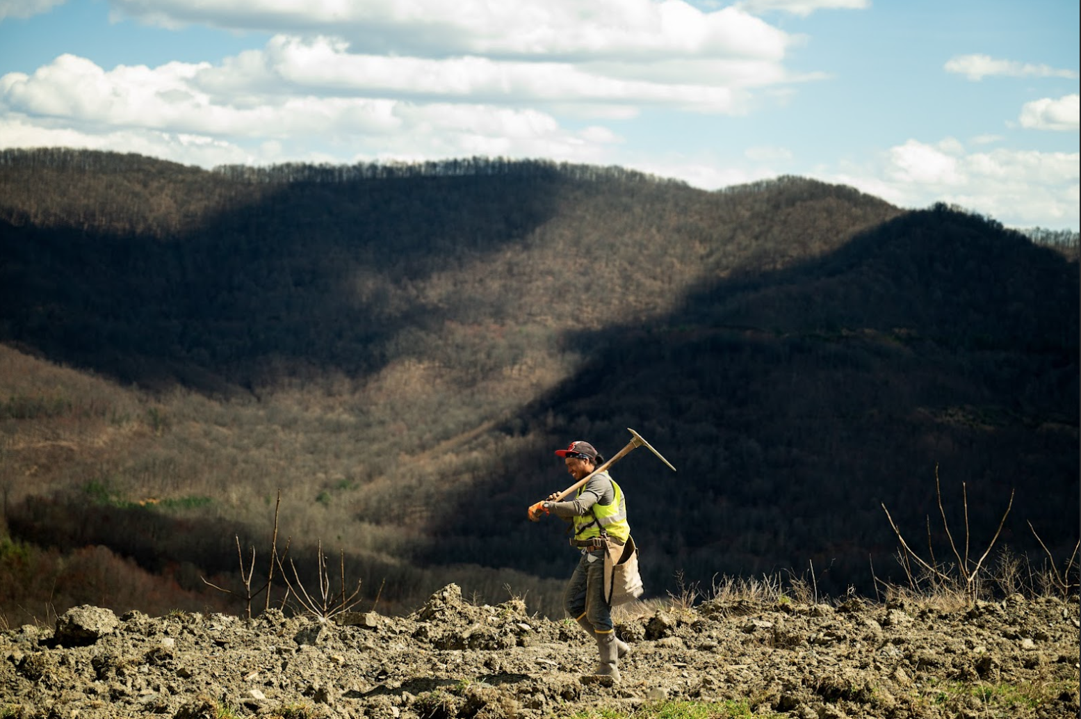
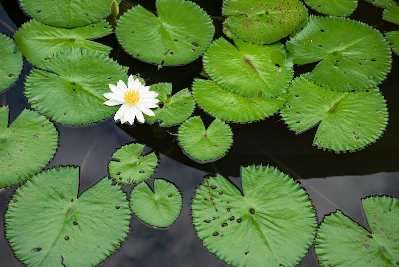
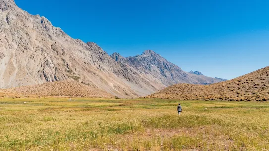
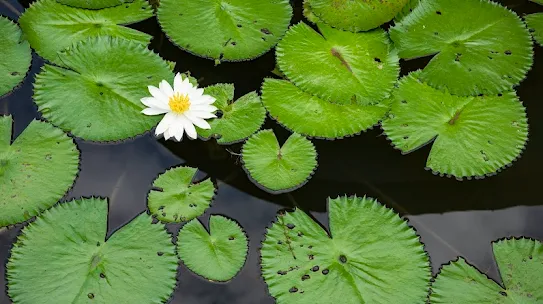
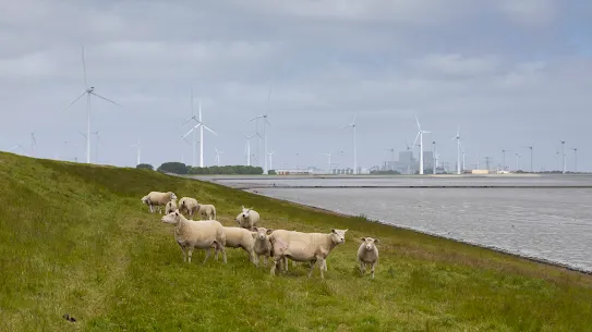
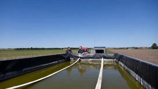
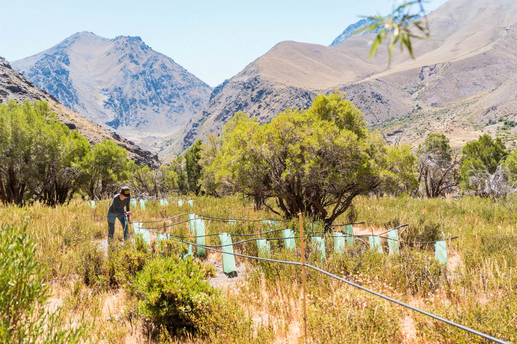
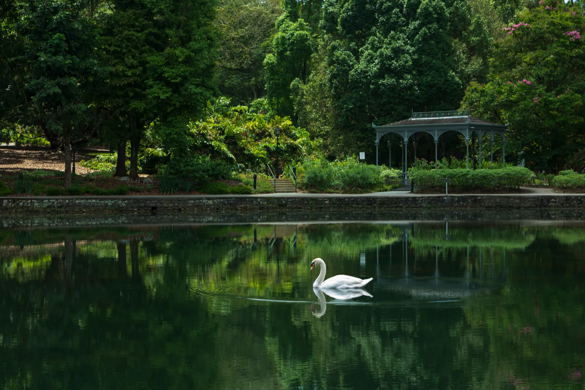
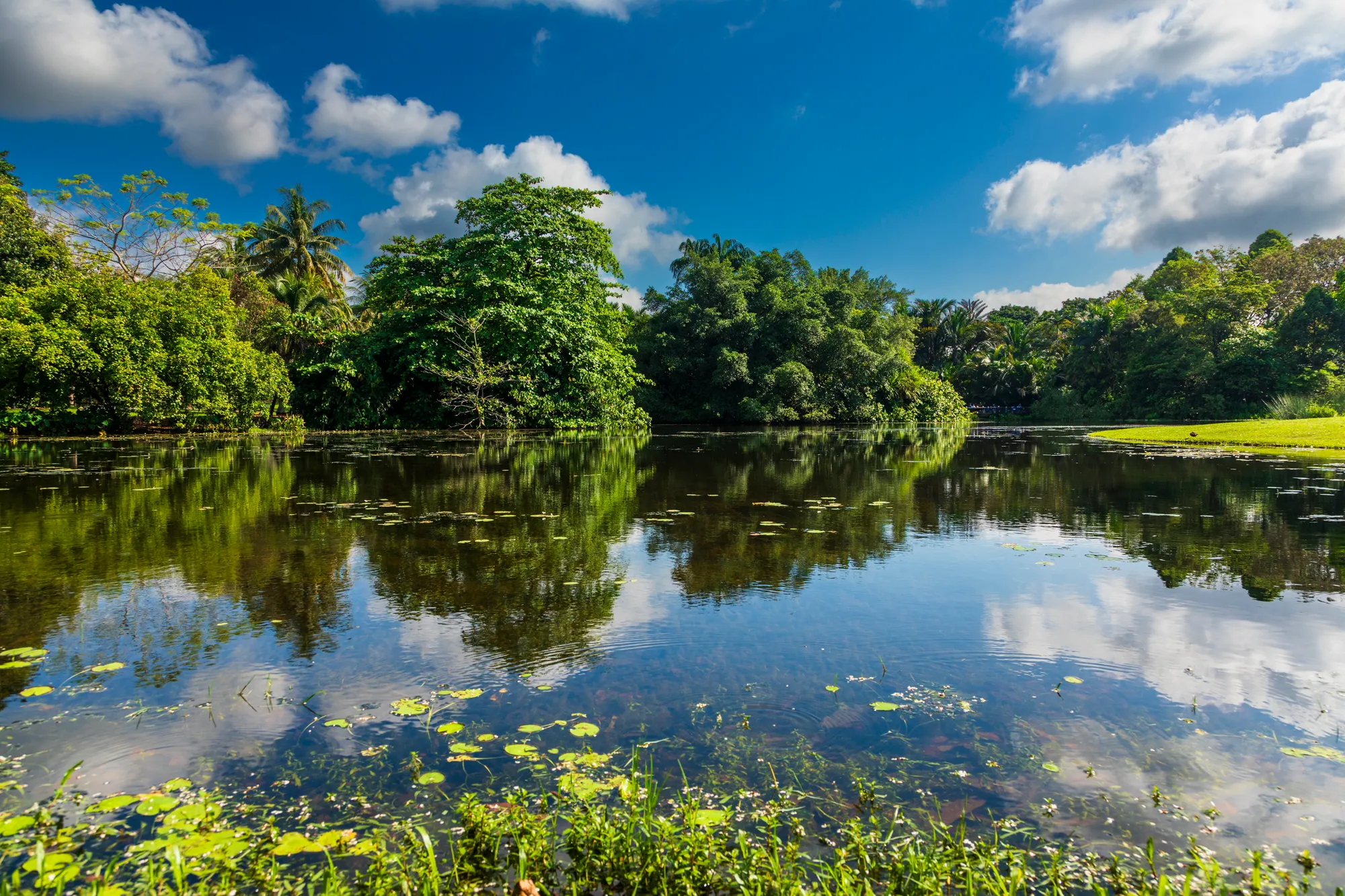
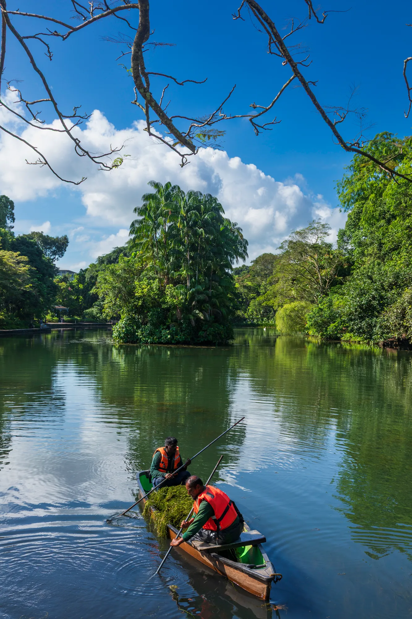
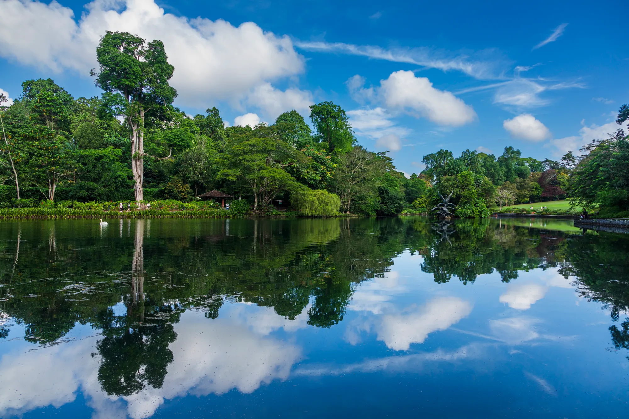
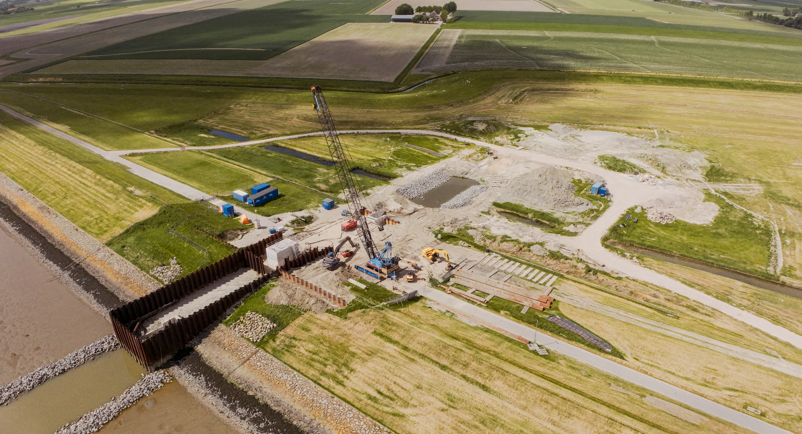
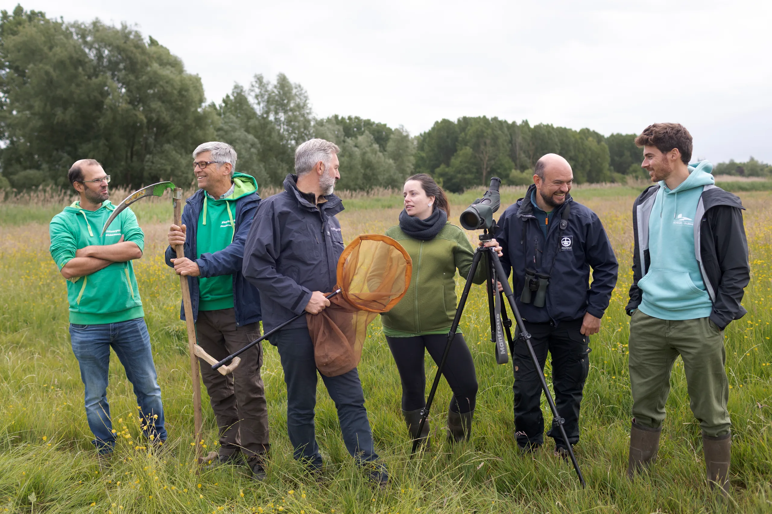
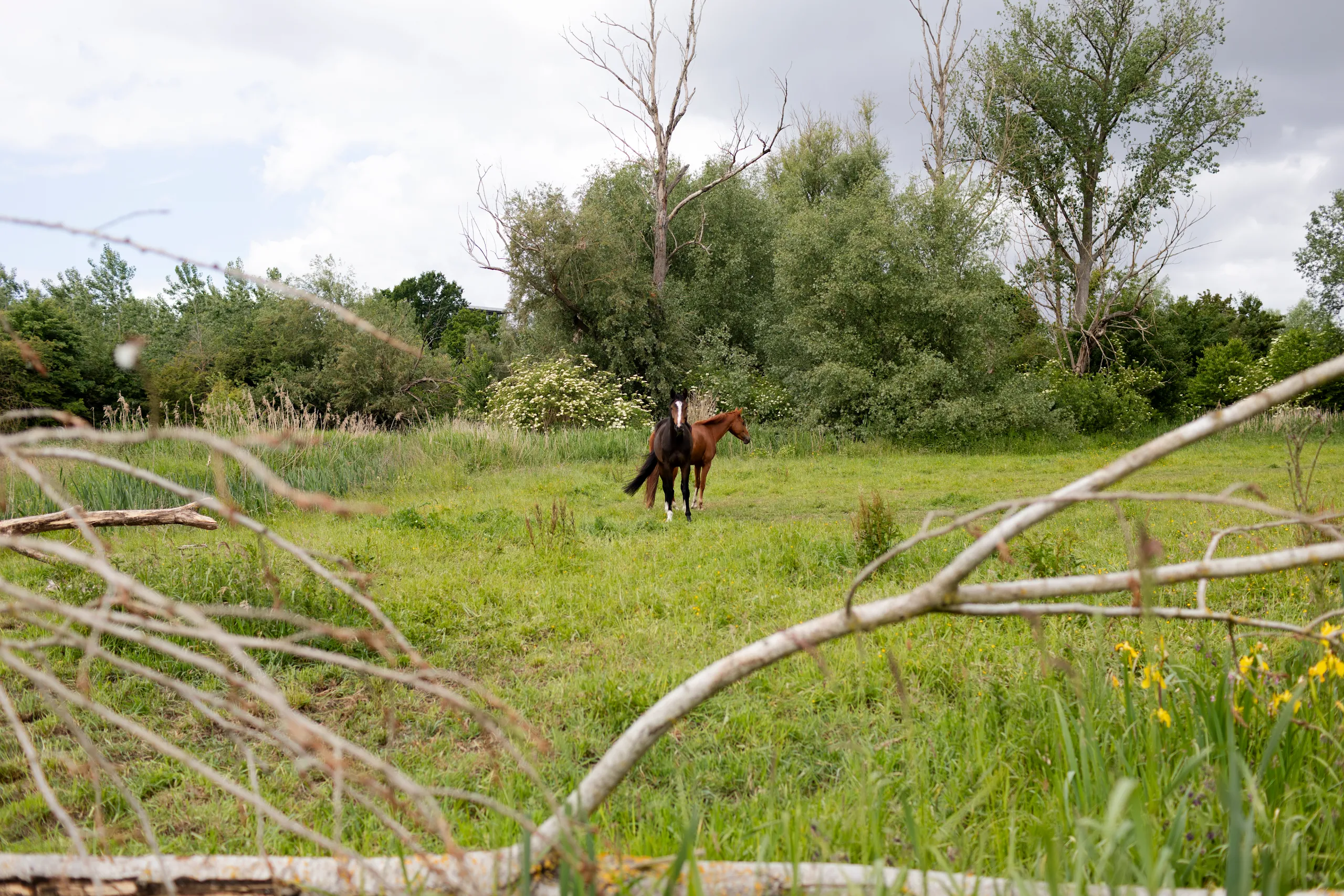
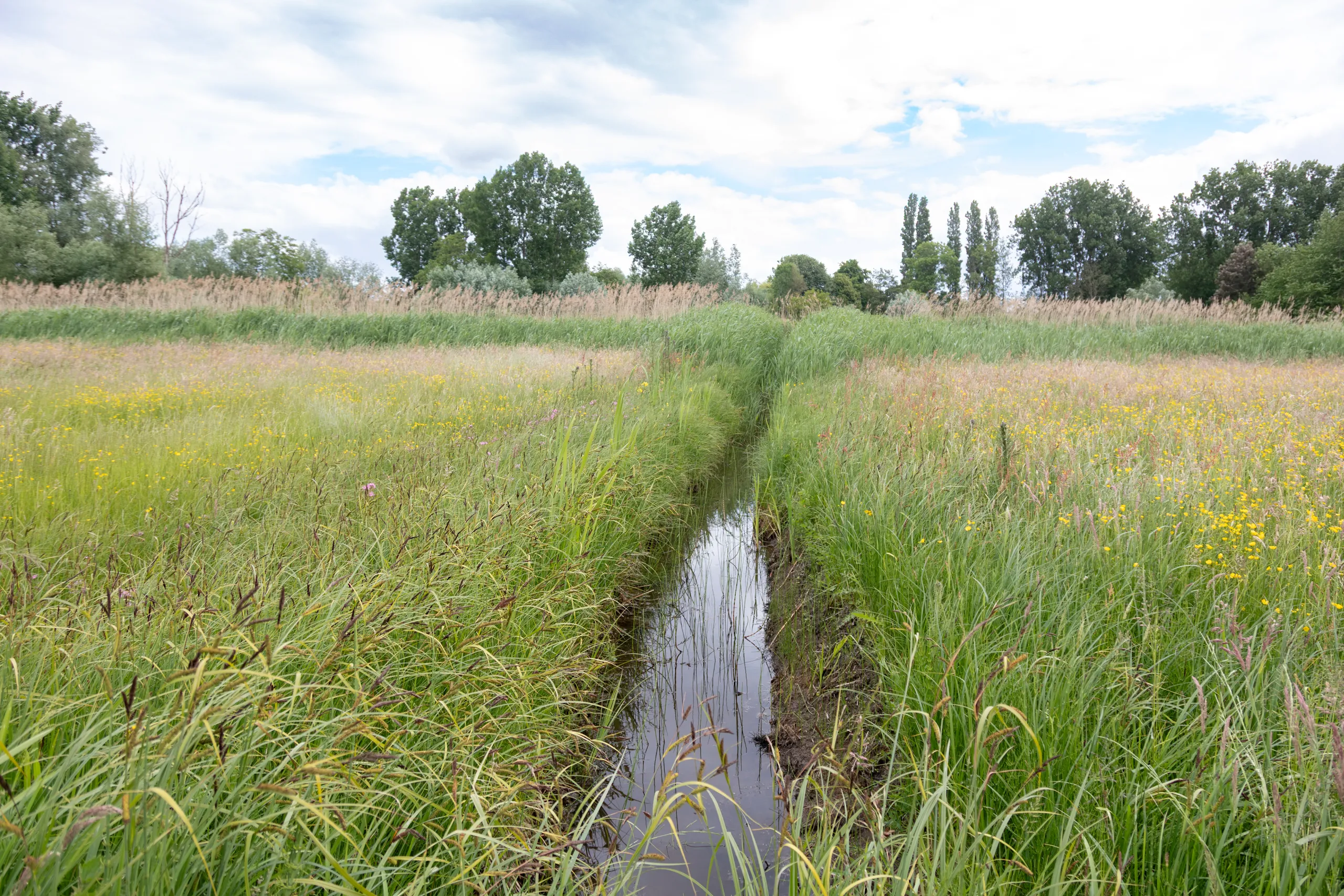
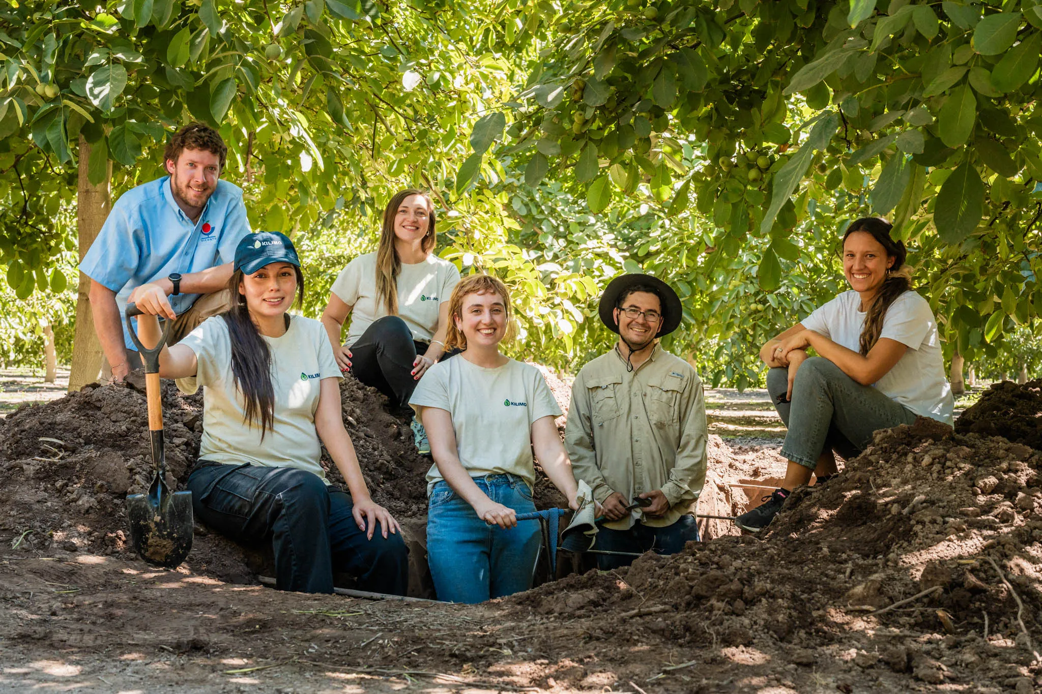
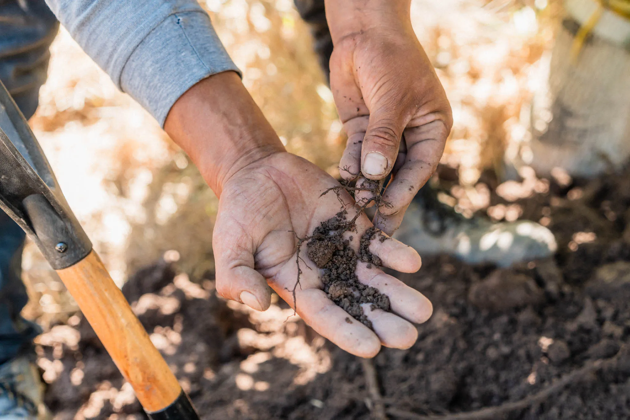
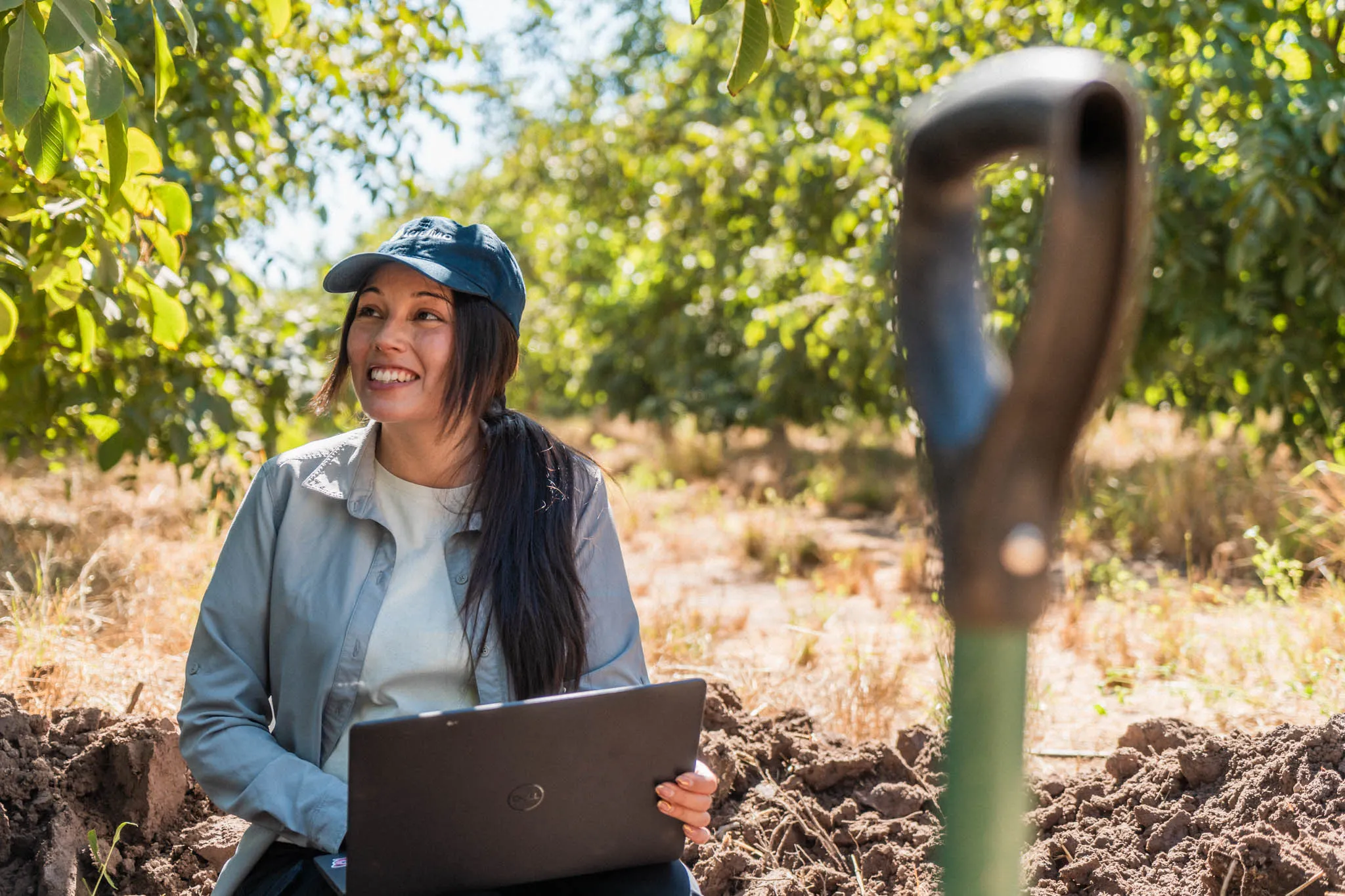
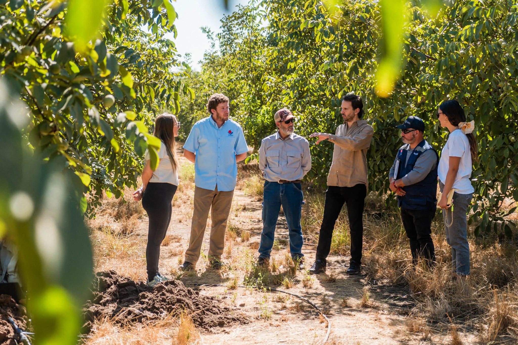
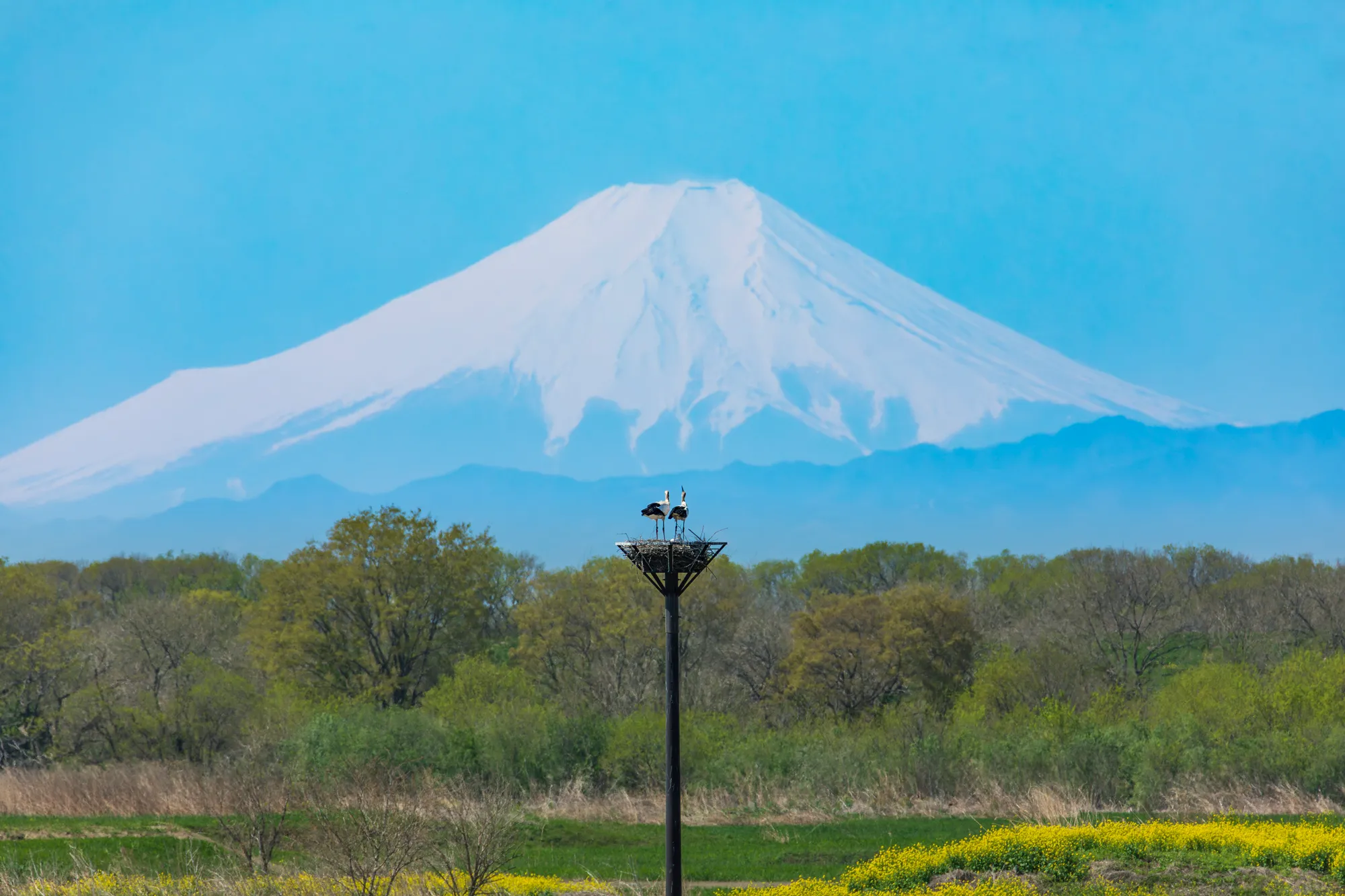
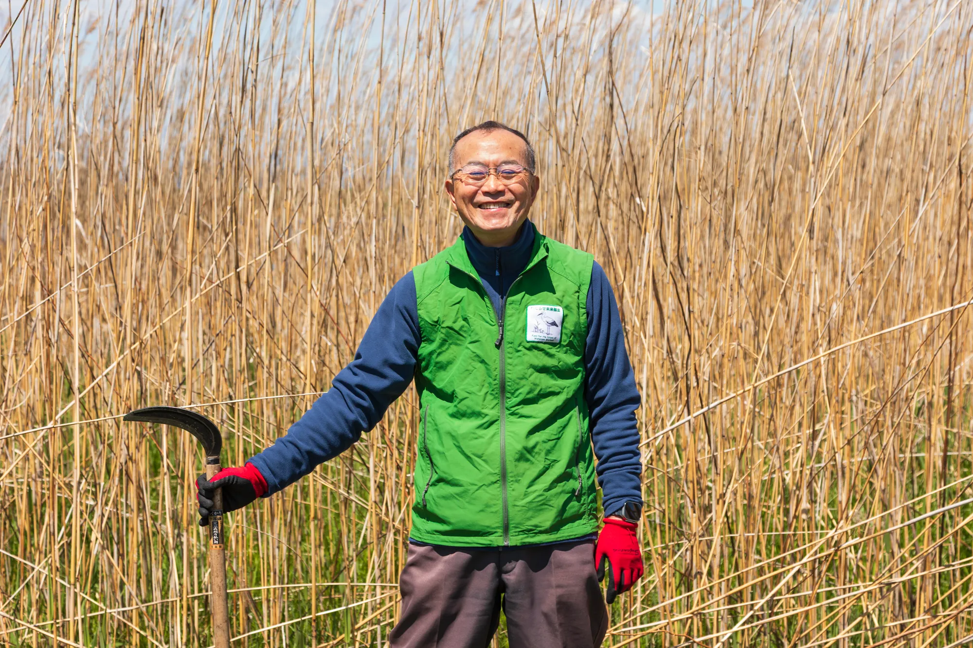
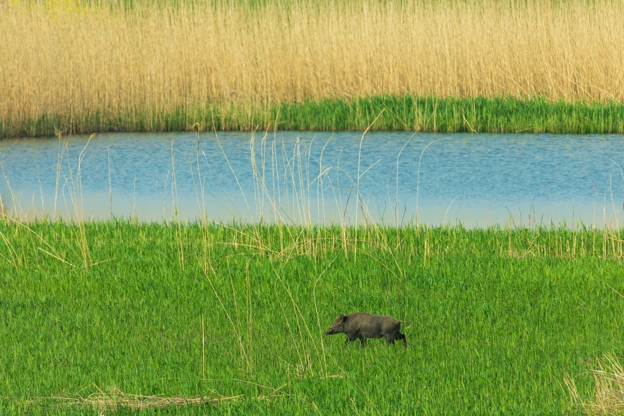
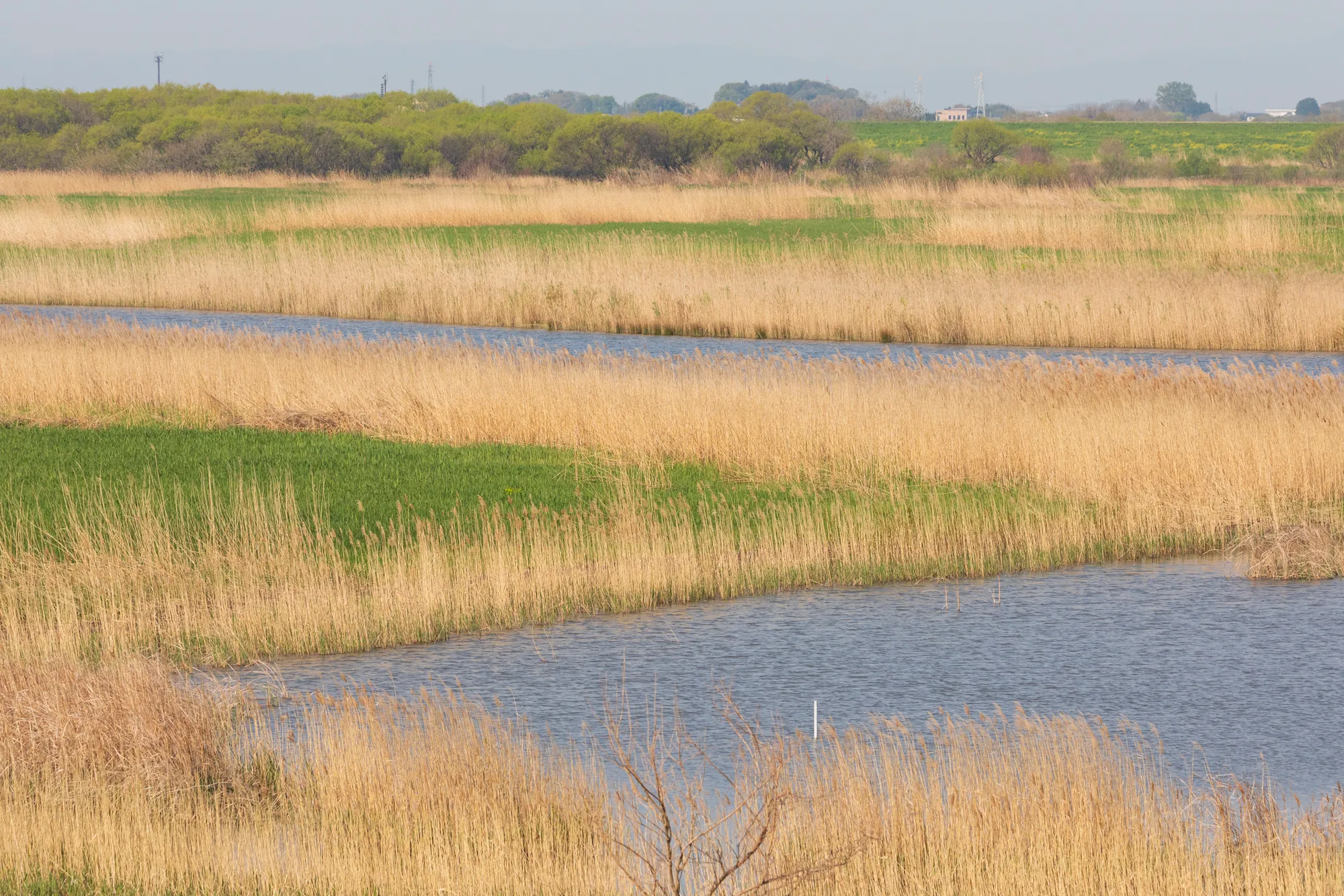
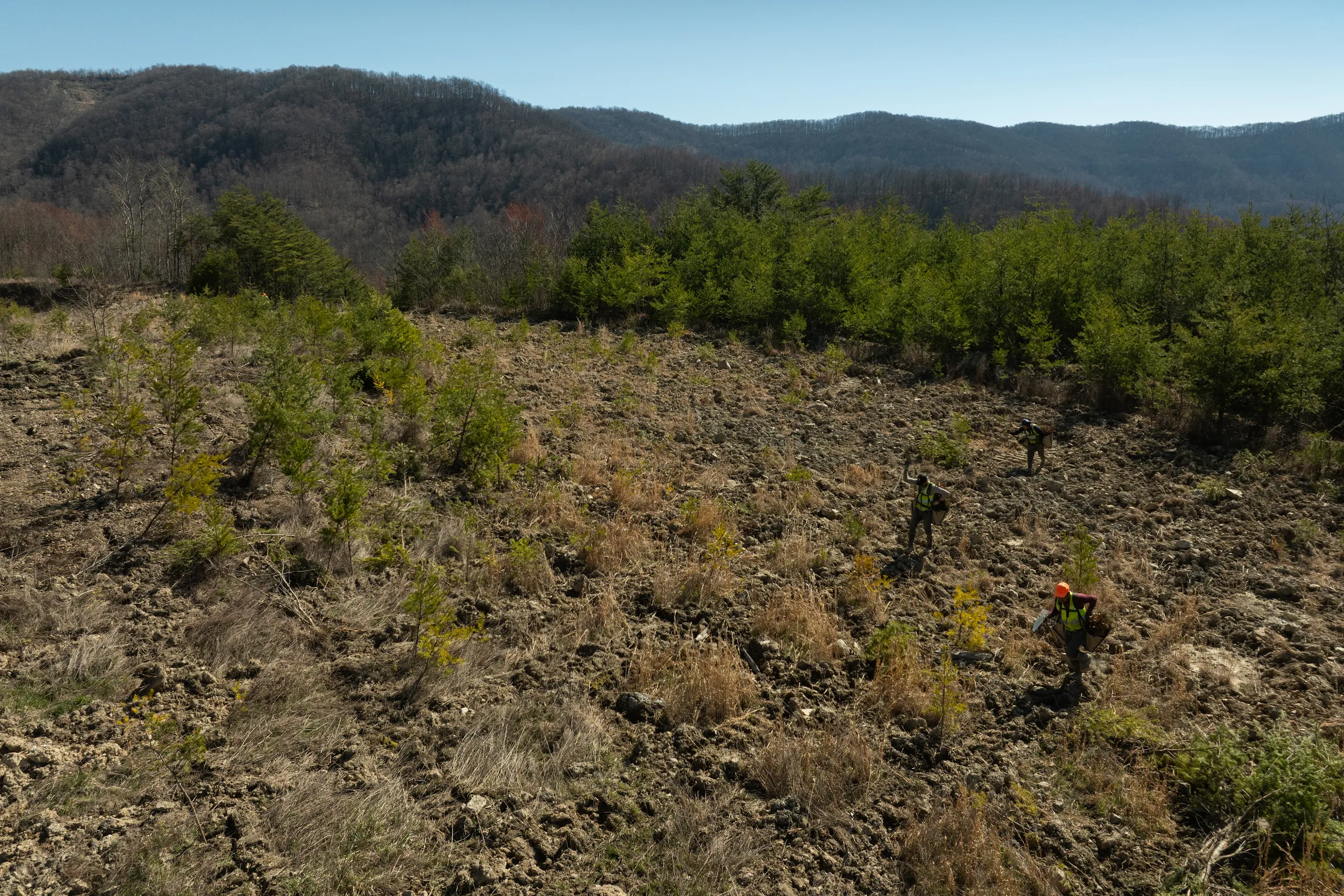
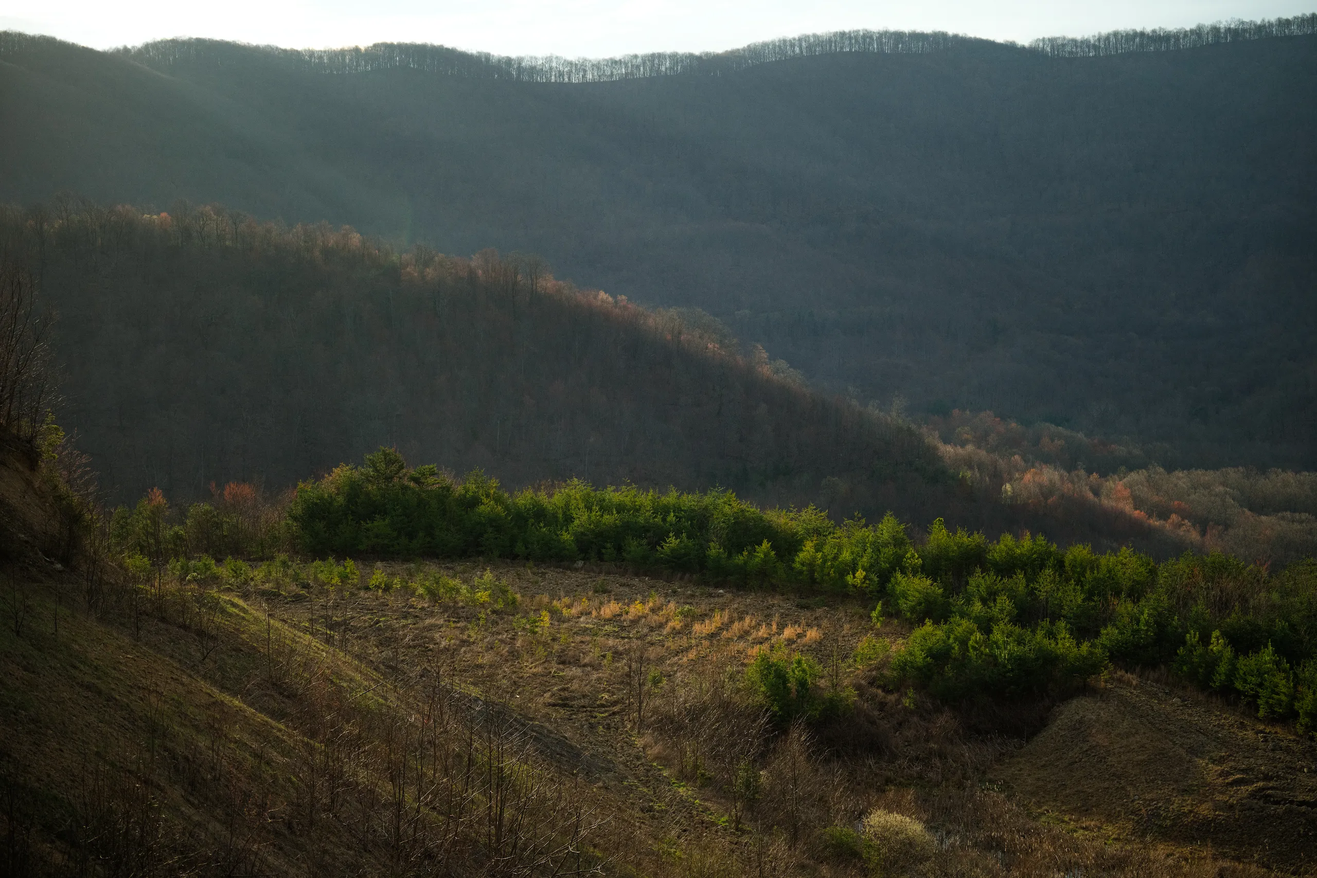
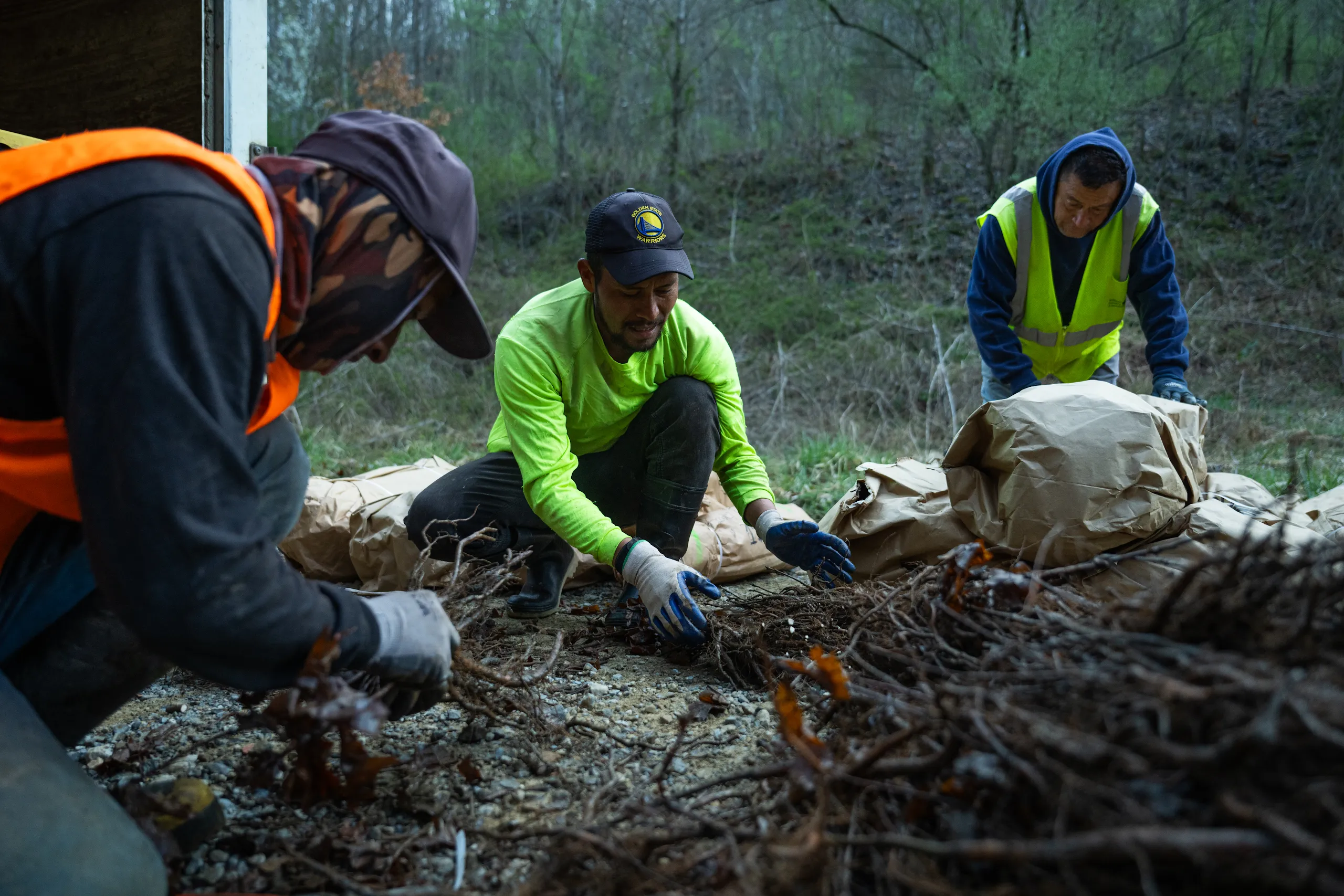
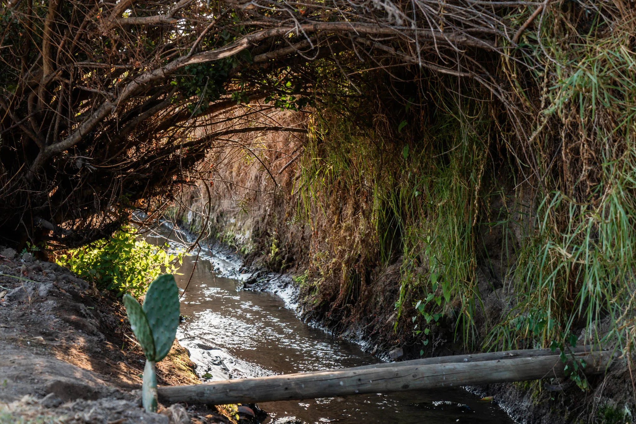
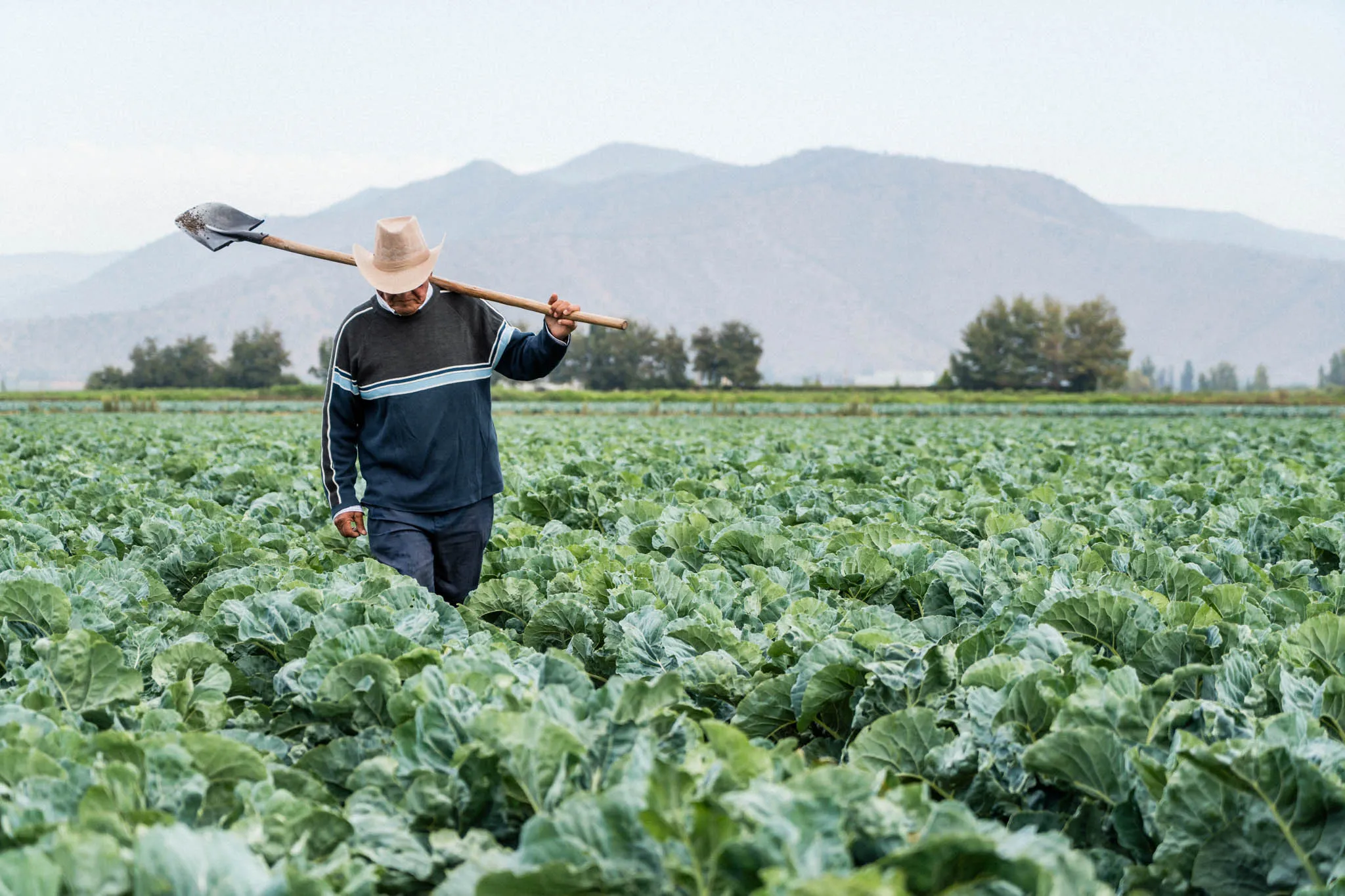
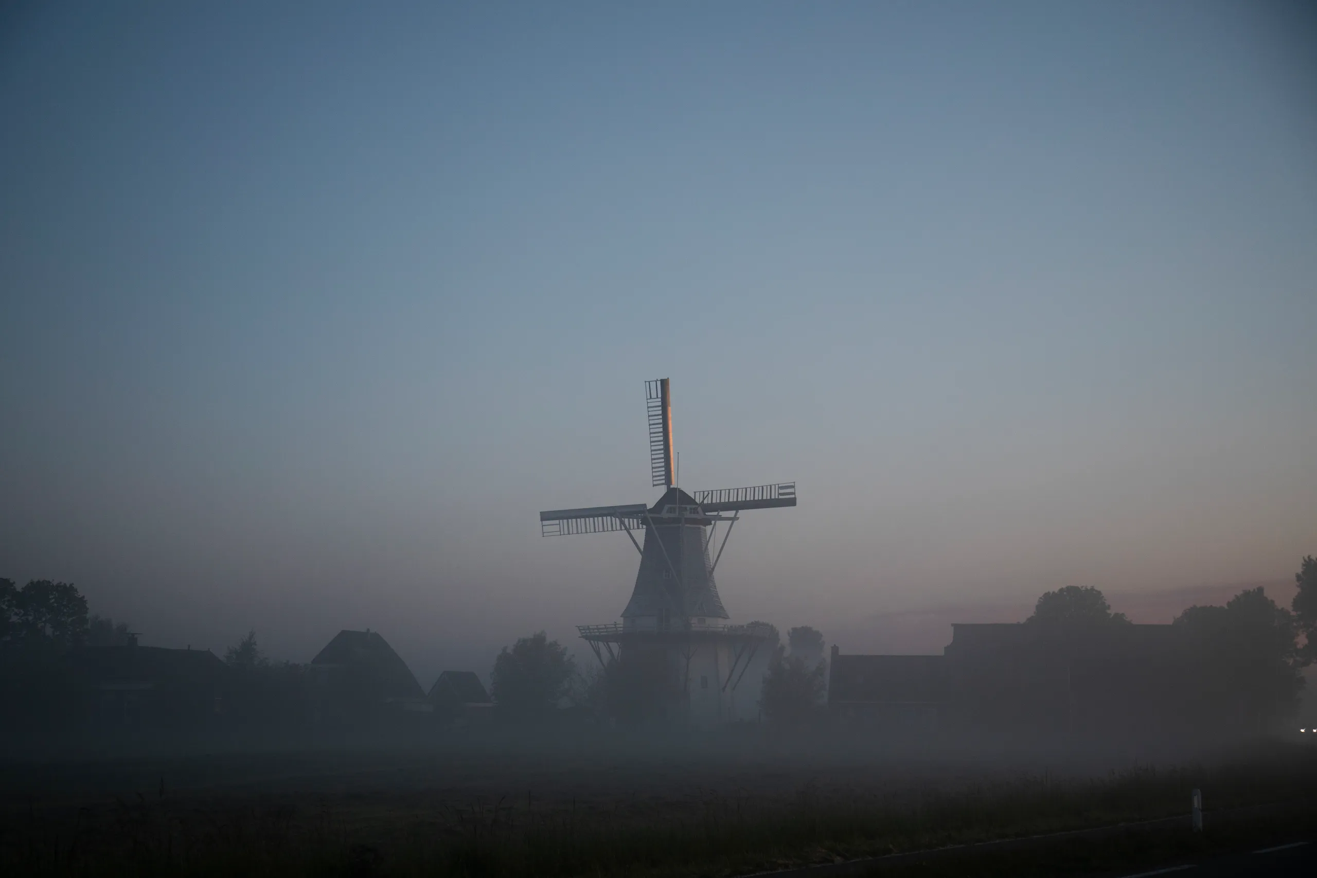
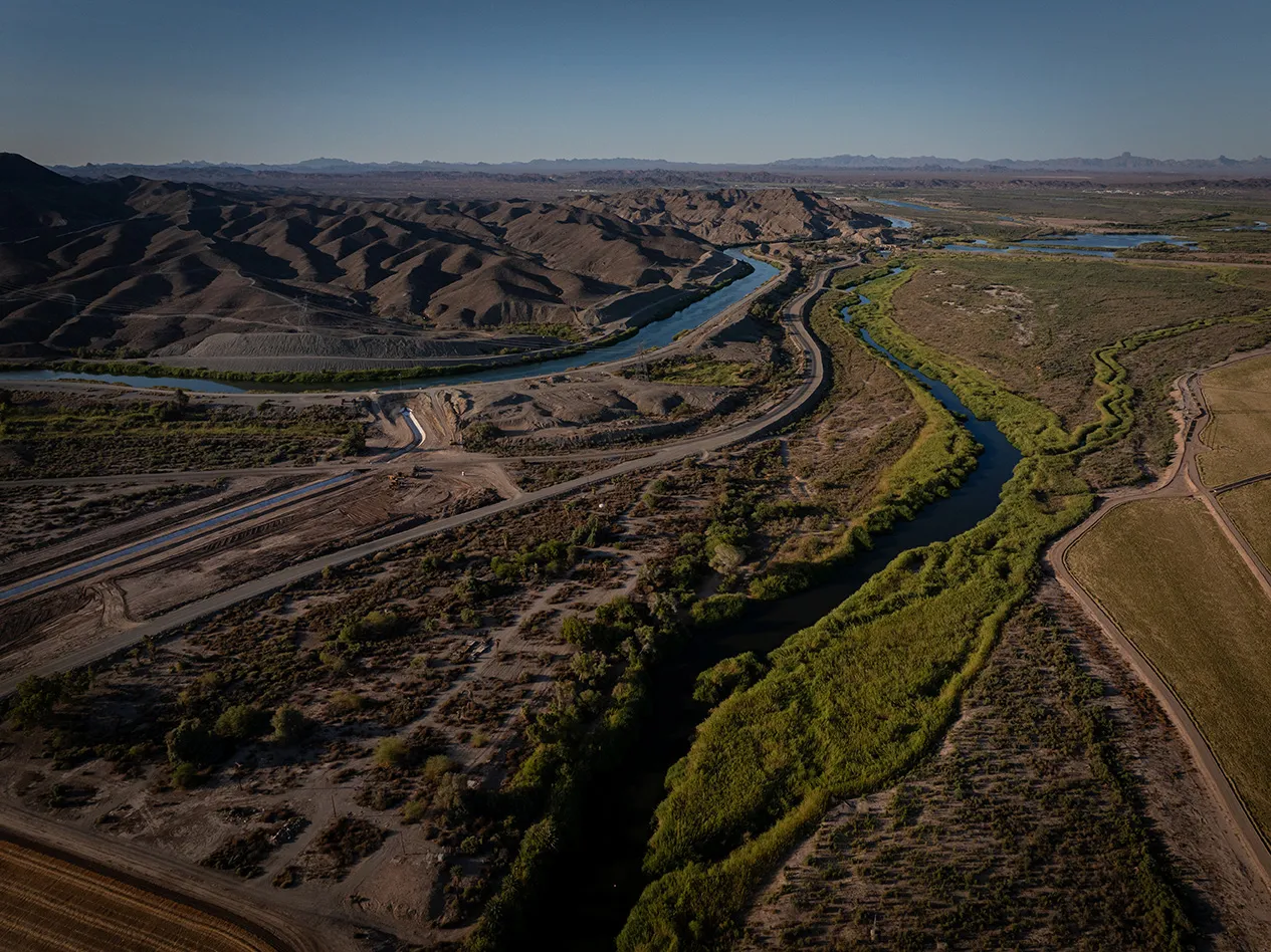
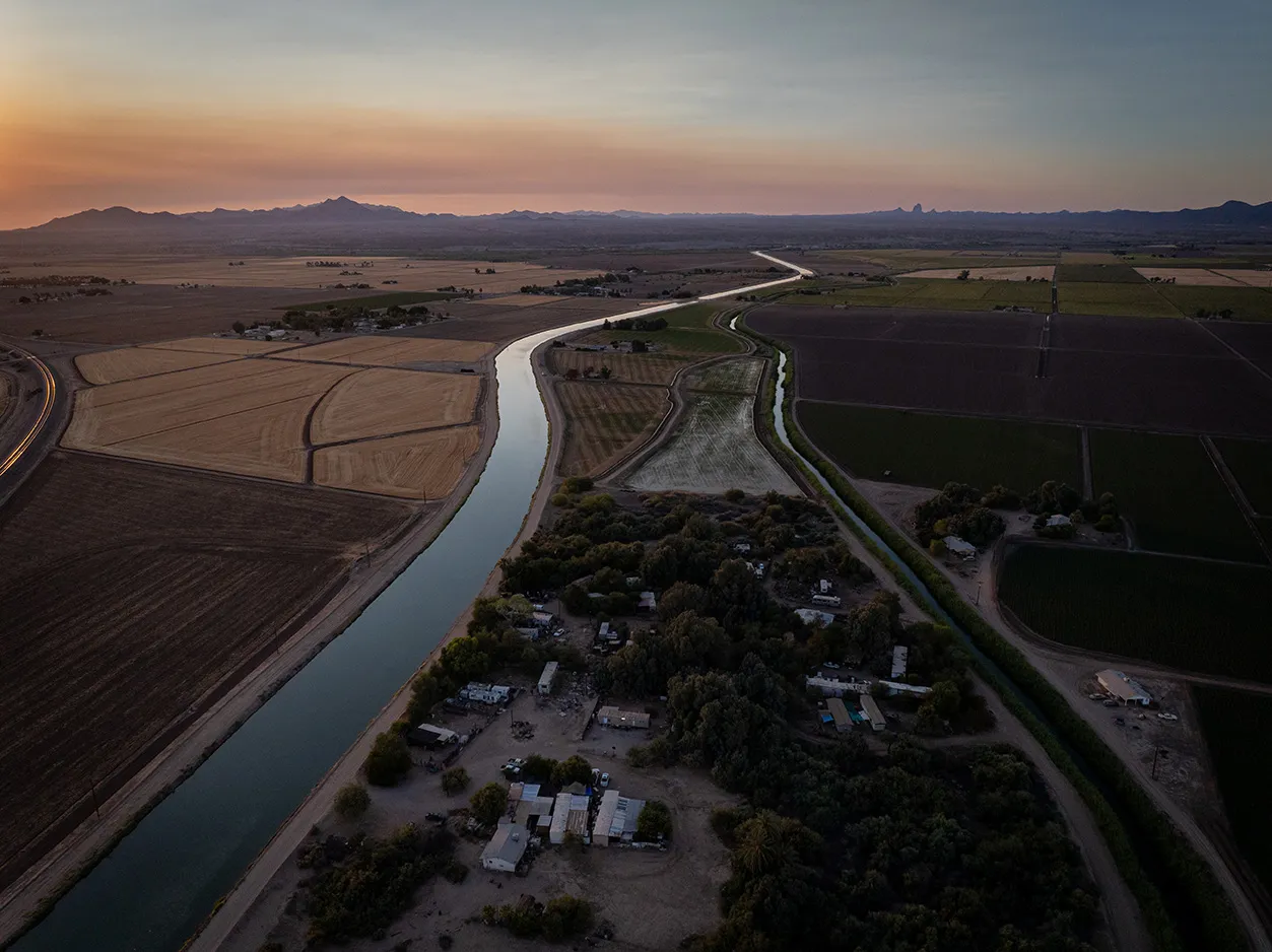
{ "location": "米德湖的水資源保育", "latitude": 33.934231, "longitude": -114.52563, "inDevelopment": false, "continentFeatured": false, "topicsFeatured":[], "eyebrow": "", "shortDescription": "我們資助與科羅拉多河印第安部落簽訂的水權租賃協議,在 2020 至 2022 年間,每年將 50,000 英畝-英尺的水保留於米德湖,以穩定水位。", "featuredImage": {}, "detailPage": "https://www.gstatic.com/marketing-cms/85/96/8d03b5cd462ea209d060124e0d5e/colorado-indian-tribes-one-pager-march-10-2023.pdf", "linkText": "瞭解詳情", "continent": "Colorado River Watershed ", "topics": ["Water Supply Reliability"], "calloutBlocks":[]},{ "location": "南卡羅萊納州查爾斯頓的濕地重新連通計畫", "latitude": 32.830558, "longitude": -80.053462, "inDevelopment": false, "continentFeatured": false, "topicsFeatured":[], "eyebrow": "", "shortDescription": "在徹奇克里克集水區,大自然保護協會重新連通約 20 英畝的氾濫平原濕地,復育生態系統,並為查爾斯頓市提供更天然的防洪解決方案。", "featuredImage": {}, "detailPage": "https://www.gstatic.com/marketing-cms/57/fa/0881bc7d4f2f88dc5d3773205582/church-creek-restoration-project.pdf", "linkText": "瞭解詳情", "continent": "Church Creek Watershed ", "topics": ["Aquatic Habitat Restoration"], "calloutBlocks":[]},{ "location": "南卡羅萊納州以策略燒除方法復育長葉松林", "latitude": 33.077812, "longitude": -79.774901, "inDevelopment": false, "continentFeatured": false, "topicsFeatured":[], "eyebrow": "", "shortDescription": "在弗朗西斯馬里恩國家森林,大自然保護協會復育並管理超過 4 萬英畝的長葉松林,防止需水量較高的樹種入侵。這也能降低野火和缺水的影響,提升森林健康。", "featuredImage": {}, "detailPage": "https://www.gstatic.com/marketing-cms/b6/bf/d8eef82747bea4727974d7394cde/longleaf-pine-restoration-in-south-carolina.pdf", "linkText": "瞭解詳情", "continent": "Cooper River Watershed", "topics": ["Land Conservation and Restoration"], "calloutBlocks":[]},{ "location": "南卡羅萊納州長葉松林的保育地役權", "latitude": 33.077812, "longitude": -79.754901, "inDevelopment": false, "continentFeatured": false, "topicsFeatured":[], "eyebrow": "", "shortDescription": "大自然保護協會與土地信託合作夥伴攜手,策略性收購超過 500 英畝的未開發生態系統,保護弗朗西斯馬里恩國家森林的生態,並提升環境韌性。", "featuredImage": {}, "detailPage": "https://www.gstatic.com/gumdrop/sustainability/2025-google-water-stewardship-project-portfolio.pdf#page=25", "linkText": "瞭解詳情", "continent": "Cooper River Watershed", "topics": ["Land Conservation and Restoration"], "calloutBlocks":[]},{ "location": "亞利桑那州西部的灌溉渠襯砌工程", "latitude": 33.93333, "longitude": -114.433333, "inDevelopment": false, "continentFeatured": false, "topicsFeatured":[], "eyebrow": "", "shortDescription": "科羅拉多河印第安部落 (CRIT) 為亞利桑那州西部漏水的灌溉渠鋪設襯砌,避免科羅拉多河水資源在輸往農田時流失。", "featuredImage": {}, "detailPage": "https://www.gstatic.com/marketing-cms/85/96/8d03b5cd462ea209d060124e0d5e/colorado-indian-tribes-one-pager-march-10-2023.pdf", "linkText": "瞭解詳情", "continent": "Lower Colorado River Watershed", "topics": ["Water Supply Reliability"], "calloutBlocks":[]},{ "location": "安地斯山脈的濕地復育與改善計畫", "latitude": -33.6063062656664, "longitude": -69.9957458225781, "inDevelopment": true, "continentFeatured": false, "topicsFeatured":[], "eyebrow": "", "shortDescription": "大自然保護協會智利分會致力復育及改善安地斯山脈邁波河沿岸濕地,這塊超過 70 公頃的土地因氣候變遷、乾旱和農業活動而退化。", "featuredImage":{ "path": "37/84/7ee75ca3453c8f5df6480d5d0e47/wetland-restoration-and-enhancement-in-the-andes-mountains.jpg", "width": 2048, "height": 1365 } , "detailPage": "https://www.gstatic.com/marketing-cms/6c/a7/d33e54514fada9fbdead3f443322/maipo-basin-high-andes-wetlands-project.pdf", "linkText": "瞭解詳情", "continent": "Yeso and Maipo Alto Basins", "topics": ["Aquatic Habitat Restoration"], "calloutBlocks":[]},{ "location": "智利邁波河流域的精準灌溉系統", "latitude": -33.225152, "longitude": -70.704189, "inDevelopment": true, "continentFeatured": false, "topicsFeatured":[], "eyebrow": "", "shortDescription": "我們在智利邁波河流域推廣 Kilimo 的精準灌溉技術,協助農民充分運用水資源、因應缺水問題,同時保護水生生態系統。這項計畫也有助減少碳排放量,並提升農業生產力。", "featuredImage":{ "path": "4c/21/404ce718405e98504366ab9f09af/precision-irrigation-in-chiles-maipo-river-basin.png", "width": 1553, "height": 1031 } , "detailPage": "https://youtu.be/rbhkVNWq_uY", "linkText": "觀看影片", "continent": "Maipo River Watershed", "topics": ["Water Supply Reliability"], "calloutBlocks":[]},{ "location": "與 Alliance for the Chesapeake Bay 合作設置濱岸緩衝帶", "latitude": 38.251, "longitude": -78.893, "inDevelopment": false, "continentFeatured": false, "topicsFeatured":[], "eyebrow": "", "shortDescription": "為保護及恢復乞沙比克灣集水區的水質,Alliance for the Chesapeake Bay 在維吉尼亞州的五處農地設置了植林濱岸緩衝帶。這些緩衝帶位於農地邊緣,可過濾農作產生的逕流,有助於防治土壤流失。", "featuredImage":{ "path": "18/da/7d12ec4944d78a9456e17bfb0ced/screenshot-2025-09-01-at-7-22-17-pm.png", "width": 2510, "height": 1410 } , "detailPage": "https://www.youtube.com/watch?v=ZRznP3VPzqA", "linkText": "觀看影片", "continent": "Potomac River Watershed", "topics": ["Water Quality"], "calloutBlocks":[]},{ "location": "內華達州將草坪改成省水花園", "latitude": 36.0394985402106, "longitude": -114.982272553592, "inDevelopment": true, "continentFeatured": false, "topicsFeatured":[], "eyebrow": "", "shortDescription": "亨德森市提供補貼,鼓勵用戶將需水量高的草坪改為節水園藝,為受乾旱影響的米德湖地區節省用水。", "featuredImage": {}, "detailPage": "https://www.gstatic.com/gumdrop/sustainability/2025-google-water-stewardship-project-portfolio.pdf#page=19", "linkText": "瞭解詳情", "continent": "Lower Colorado River Watershed", "topics": ["Water Supply Reliability"], "calloutBlocks":[]},{ "location": "拉斯維加斯將草坪改成省水花園", "latitude": 36.275279768009, "longitude": -115.138075584653, "inDevelopment": false, "continentFeatured": false, "topicsFeatured":[], "eyebrow": "", "shortDescription": "拉斯維加斯市捨棄杜拉社區中心超過 22,500 平方英尺的草坪,改種適應沙漠氣候的景觀植物,並採用滴灌系統來減少用水。", "featuredImage": {}, "detailPage": "https://www.gstatic.com/gumdrop/sustainability/2025-google-water-stewardship-project-portfolio.pdf#page=19", "linkText": "瞭解詳情", "continent": " Lower Colorado River Watershed", "topics": ["Water Supply Reliability"], "calloutBlocks":[]},{ "location": "達爾斯市政集水區復育計畫", "latitude": 45.5141768278005, "longitude": -121.33775128696, "inDevelopment": false, "continentFeatured": false, "topicsFeatured":[], "eyebrow": "", "shortDescription": "奧勒岡州達爾斯市在市政集水區內,復育 2013 年遭野火焚毀的 150 多英畝林地。這項計畫有助於提升水質,為城市提供充足的乾淨用水。", "featuredImage": {}, "detailPage": "https://www.gstatic.com/gumdrop/sustainability/2025-google-water-stewardship-project-portfolio.pdf#page=22", "linkText": "瞭解詳情", "continent": "The Dalles Municipal Watershed", "topics": ["Land Conservation and Restoration"], "calloutBlocks":[]},{ "location": "奧勒岡州的智慧灌溉系統", "latitude": 45.6025654489892, "longitude": -121.20217736196, "inDevelopment": true, "continentFeatured": false, "topicsFeatured":[], "eyebrow": "", "shortDescription": "在達爾斯市,瓦斯科郡水土保護區裝設更有效率的灌溉系統,協助節約用水。", "featuredImage": {}, "detailPage": "https://www.gstatic.com/gumdrop/sustainability/2025-google-water-stewardship-project-portfolio.pdf#page=22", "linkText": "瞭解詳情", "continent": "Mill Creek Watershed", "topics": ["Water Supply Reliability"], "calloutBlocks":[]},{ "location": "奧勒岡州的渠圳改良工程", "latitude": 45.6122412911787, "longitude": -121.51090528099, "inDevelopment": true, "continentFeatured": false, "topicsFeatured":[], "eyebrow": "", "shortDescription": "東支流灌溉工作站與部落、州級和聯邦組織合作,將開放式灌溉渠改建為管路系統,大幅減少水資源流失,進而提升供水韌性,並維護棲息地和水質。", "featuredImage": {}, "detailPage": "https://www.gstatic.com/gumdrop/sustainability/2025-google-water-stewardship-project-portfolio.pdf#page=23", "linkText": "瞭解詳情", "continent": "East Fork Hood River Watershed", "topics": ["Water Supply Reliability"], "calloutBlocks":[]},{ "location": "降低科羅拉多河下游流域的需水量", "latitude": 36.1572483626863, "longitude": -114.412734619026, "inDevelopment": true, "continentFeatured": false, "topicsFeatured":[], "eyebrow": "", "shortDescription": "我們推廣一項計畫,透過水權租賃、轉作協議、改善部落土地的灌溉基礎設施與棲息地環境,減少科羅拉多河下游流域的需水量。另一個目標則是促成墾務局的週轉基金資助。", "featuredImage": {}, "detailPage": "https://www.gstatic.com/gumdrop/sustainability/2025-google-water-stewardship-project-portfolio.pdf#page=15", "linkText": "瞭解詳情", "continent": "Lower Colorado River Basin ", "topics":[], "calloutBlocks":[]},{ "location": "德州東部的長葉松林復育計畫", "latitude": 30.876165, "longitude": -95.207242, "inDevelopment": true, "continentFeatured": false, "topicsFeatured":[], "eyebrow": "", "shortDescription": "Texas Longleaf Team 復育 2,000 英畝的長葉松林,這類森林的水源收集和過濾能力,皆優於傳統林場。這項復育計畫將提升德州東部的生態系統韌性,加強因應乾旱、病蟲害與野火。", "featuredImage": {}, "detailPage": "https://www.gstatic.com/gumdrop/sustainability/2025-google-water-stewardship-project-portfolio.pdf#page=26", "linkText": "瞭解詳情", "continent": "Trinity River Watershed", "topics": ["Land Conservation and Restoration"], "calloutBlocks":[]},{ "location": "佩恩特羅克河的河岸穩固工程", "latitude": 34.699668, "longitude": -86.309044, "inDevelopment": true, "continentFeatured": false, "topicsFeatured":[], "eyebrow": "", "shortDescription": "在佩恩特羅克河流域,大自然保護協會 (TNC) 修復並穩固了三處河岸地,讓河流重新與歷史氾濫平原連通。TNC 也在傑克森郡收購約 198 英畝的保育地役權,維護生物多樣性。", "featuredImage": {}, "detailPage": "https://www.gstatic.com/gumdrop/sustainability/2025-google-water-stewardship-project-portfolio.pdf#page=4", "linkText": "瞭解詳情", "continent": "Paint Rock River Watershed", "topics": ["Aquatic Habitat Restoration"], "calloutBlocks":[]},{ "location": "安地斯山脈的濕地與森林保育計畫", "latitude": -34.0812311134161, "longitude": -70.091662132512, "inDevelopment": true, "continentFeatured": false, "topicsFeatured":[], "eyebrow": "", "shortDescription": "大自然保護協會在安地斯山脈復育高海拔濕地,並重新種植原生植被,再度連通彼此孤立的森林。這項計畫的目標是改善邁波河流域的水文、當地棲息地及未來用水安全。", "featuredImage": {}, "detailPage": "https://www.gstatic.com/gumdrop/sustainability/2025-google-water-stewardship-project-portfolio.pdf#page=30", "linkText": "瞭解詳情", "continent": "Yeso and Maipo Alto Basin", "topics": ["Aquatic Habitat Restoration"], "calloutBlocks":[]},{ "location": "德州環境水資源交易計畫", "latitude": 32.4432256717943, "longitude": -97.0624873532738, "inDevelopment": true, "continentFeatured": false, "topicsFeatured":[], "eyebrow": "", "shortDescription": "我們資助特里尼蒂河上游和科羅拉多河上游流域的水權租賃,並推廣再生農業。這些行動可恢復地表水資源、增加河川流量,同時改善德州原生物種的水生棲息地環境。", "featuredImage": {}, "detailPage": "https://www.gstatic.com/gumdrop/sustainability/2025-google-water-stewardship-project-portfolio.pdf#page=27", "linkText": "瞭解詳情", "continent": "Upper Colorado and Upper Trinity River Basins", "topics": ["Aquatic Habitat Restoration"], "calloutBlocks":[]},{ "location": "奧勒岡州的含水層儲存及回抽系統", "latitude": 45.5426043663629, "longitude": -121.315175222861, "inDevelopment": true, "continentFeatured": false, "topicsFeatured":[], "eyebrow": "", "shortDescription": "我們與達爾斯市合作,興建含水層儲存及回抽系統,將雨季多餘水量注入現有的含水層。這些水資源可供乾旱或需水量高時使用,確保城市擁有更可靠的供水來源。", "featuredImage": {}, "detailPage": "https://www.gstatic.com/gumdrop/sustainability/2023-data-center-water-profile-the-dalles.pdf", "linkText": "瞭解詳情", "continent": "Dalles Pool Aquifer Watershed ", "topics": ["Water Supply Reliability"], "calloutBlocks":[]},{ "location": "日本瀕危東方白鸛的濕地棲息地復育計畫", "latitude": 36.21697, "longitude": 139.674189, "inDevelopment": true, "continentFeatured": false, "topicsFeatured":[], "eyebrow": "", "shortDescription": "Ramsar Network Japan 致力保育東京北方的濕地,為當地動植物提供合適的棲息環境。這項計畫的目標是維護當地豐富的生物多樣性 (包括瀕危的東方白鸛),並帶大眾深入認識該地珍貴的濕地棲息地。", "featuredImage":{ "path": "8f/ea/129794a946b096c9808bab985070/wetland-habitat-restoration-for-endangered-stork-in-japan.png", "width": 1496, "height": 995 } , "detailPage": "https://www.youtube.com/watch?v=t-VSxoBQlRA", "linkText": "觀看影片", "continent": "Tone River Watershed", "topics": ["Aquatic Habitat Restoration"], "calloutBlocks":[]},{ "location": "在新加坡打造生態池", "latitude": 1.345573, "longitude": 103.745724, "inDevelopment": true, "continentFeatured": false, "topicsFeatured":[], "eyebrow": "", "shortDescription": "武吉巴督第 10 區居民聯繫網在一處公共住宅區設立生態池。這座生態滯留池能供應園藝和清潔用水,還可提升防洪能力與水質。", "featuredImage": {}, "detailPage": "https://www.gstatic.com/gumdrop/sustainability/2025-google-water-stewardship-project-portfolio.pdf#page=41", "linkText": "瞭解詳情", "continent": "Bukit Batok Canal", "topics": ["Aquatic Habitat Restoration"], "calloutBlocks":[]},{ "location": "荷蘭雨水收集系統的改良措施", "latitude": 53.133165, "longitude": 4.829619, "inDevelopment": true, "continentFeatured": false, "topicsFeatured":[], "eyebrow": "", "shortDescription": "Acacia Water 在泰瑟爾島擴建含水層儲存及回抽系統,秋季會擴大收集多餘的雨水,供乾旱的夏季使用。隨著氣候變遷加劇,這套模式有望成為荷蘭確保未來農業發展的關鍵做法。", "featuredImage":{ "path": "94/d1/467610e54df899d5fec7e7eb7ea5/rainwater-harvesting-improvements-in-the-netherlands.png", "width": 1540, "height": 1028 } , "detailPage": "https://www.gstatic.com/gumdrop/sustainability/2025-google-water-stewardship-project-portfolio.pdf#page=35", "linkText": "瞭解詳情", "continent": "West Frisian Islands Watershed", "topics": ["Water Supply Reliability"], "calloutBlocks":[]},{ "location": "荷蘭運用智慧技術管理水資源", "latitude": 53.416416, "longitude": 6.397195, "inDevelopment": true, "continentFeatured": false, "topicsFeatured":[], "eyebrow": "", "shortDescription": "Acacia Water 與 Fixeau 合作,在格羅寧根一處低於海平面的農田,採用智慧技術追蹤土壤含鹽量,確保鹽度不會過高而影響作物生產。如果這套模式成功,將徹底改變全荷蘭的水資源管理方式。", "featuredImage":{ "path": "98/ab/d12f548748fd96740b3970b94c28/polder-management-using-smart-water-technology-in-the-netherlands.png", "width": 1552, "height": 1031 } , "detailPage": "https://www.gstatic.com/gumdrop/sustainability/2025-google-water-stewardship-project-portfolio.pdf#page=35", "linkText": "瞭解詳情", "continent": "Eems & Rhine River Watersheds", "topics": ["Water Supply Reliability"], "calloutBlocks":[]},{ "location": "荷蘭雙重堤防工程", "latitude": 53.394877, "longitude": 6.882399, "inDevelopment": true, "continentFeatured": false, "topicsFeatured":[], "eyebrow": "", "shortDescription": "我們協助由格羅寧根省和 Noorderzijlvest 區域水務委員會主導的計畫,在埃姆斯河與多拉特灣的河口興建雙重堤防系統。Google 資助興建水利設施,提升防洪安全,打造過渡性沼澤區,以利水產養殖、鹽鹼農業及鳥類棲息。", "featuredImage":{ "path": "db/4b/e4c132aa4c3f9507fbb570a247f4/double-dike-construction-in-the-netherlands.png", "width": 1633, "height": 1086 } , "detailPage": "https://www.gstatic.com/gumdrop/sustainability/2025-google-water-stewardship-project-portfolio.pdf#page=35", "linkText": "瞭解詳情", "continent": "Princess Margriet Canal Watershed", "topics": ["Aquatic Habitat Restoration"], "calloutBlocks":[]},{ "location": "比利時的濕地復育計畫", "latitude": 51.0462891152104, "longitude": 4.07679027129802, "inDevelopment": true, "continentFeatured": false, "topicsFeatured":[], "eyebrow": "", "shortDescription": "Natuurpunt 與比利時當地的相關機構與人員合作,復育聖奧諾夫斯波德 (Sint-Onolfspolder) 自然保護區的濕地,藉此提升蓄水效率、降低洪水風險、增強抗旱能力等。", "featuredImage":{ "path": "a9/ee/ab8f8fae45709637a6d38a1c9e2d/wetland-restoration-within-polder-in-belgium.png", "width": 1558, "height": 1027 } , "detailPage": "https://www.gstatic.com/gumdrop/sustainability/2025-google-water-stewardship-project-portfolio.pdf#page=32", "linkText": "瞭解詳情", "continent": "Schelde Basin", "topics": ["Aquatic Habitat Restoration"], "calloutBlocks":[]},{ "location": "與奎查恩族合力保育灌溉環境", "latitude": 32.7736095, "longitude": -114.5323943, "inDevelopment": true, "continentFeatured": false, "topicsFeatured":[], "eyebrow": "", "shortDescription": "我們資助裝設新的太陽能灌溉泵,讓奎查恩族在一年中最乾旱的月份,也能有可靠的水源,並將休耕地用於保育和族人的其他需求。", "featuredImage": {}, "detailPage": "https://www.gstatic.com/gumdrop/sustainability/2025-google-water-stewardship-project-portfolio.pdf#page=6", "linkText": "瞭解詳情", "continent": " Lower Colorado River Basin", "topics": ["Water Supply Reliability"], "calloutBlocks":[]},{ "location": "AI 協助智利邁波河流域節約農業用水", "latitude": -33.72836264, "longitude": -71.30131944, "inDevelopment": true, "continentFeatured": false, "topicsFeatured":[], "eyebrow": "", "shortDescription": "我們與 Kilimo 擴大合作,向智利邁波河流域的農民推廣精準灌溉技術。這項技術採用「大數據」解決方案,結合 AI、衛星資料和實地測量結果,提供即時灌溉資訊。", "featuredImage": {}, "detailPage": "https://www.gstatic.com/gumdrop/sustainability/2025-google-water-stewardship-project-portfolio.pdf#page=30", "linkText": "瞭解詳情", "continent": "Maipo River Watershed", "topics": ["Water Supply Reliability"], "calloutBlocks":[]},{ "location": "科羅拉多河印第安部落的智慧灌溉系統", "latitude": 33.954231, "longitude": -114.52563, "inDevelopment": true, "continentFeatured": false, "topicsFeatured":[], "eyebrow": "", "shortDescription": "科羅拉多河印第安部落裝設新的滴灌系統,取代現有的漫灌基礎設施,並採用 N-Drip 的即時智慧技術,在乾燥的科羅拉多河地區節約用水。", "featuredImage": {}, "detailPage": "https://www.gstatic.com/gumdrop/sustainability/2025-google-water-stewardship-project-portfolio.pdf#page=5", "linkText": "瞭解詳情", "continent": "Colorado River Watershed", "topics": ["Water Supply Reliability"], "calloutBlocks":[]},{ "location": "比利時自然保護區復育計畫", "latitude": 50.4585702970151, "longitude": 3.76969791763541, "inDevelopment": false, "continentFeatured": false, "topicsFeatured":[], "eyebrow": "", "shortDescription": "我們資助 Natagora 擴大 Pres de Grand Rieu 自然保護區範圍。這項計畫的溼地改善措施有助於提升生物多樣性與水質,為大眾提供更理想的休憩空間。", "featuredImage": {}, "detailPage": "https://www.gstatic.com/gumdrop/sustainability/2025-google-water-stewardship-project-portfolio.pdf#page=33", "linkText": "瞭解詳情", "continent": "Haine Watershed", "topics": ["Aquatic Habitat Restoration"], "calloutBlocks":[]},{ "location": "拉斯維加斯維護井水安全的試行技術", "latitude": 36.1745101868079, "longitude": -115.14766208783, "inDevelopment": true, "continentFeatured": false, "topicsFeatured":[], "eyebrow": "", "shortDescription": "WaterStart 與南內華達州水資源管理局合作,試行 AquiSense 的 LED 紫外線技術,在井口處理地下水。這項技術有望於內華達州和全美各地推行,為水資源短缺的地區提升蓄水量和用水安全。", "featuredImage": {}, "detailPage": "https://www.gstatic.com/gumdrop/sustainability/2025-google-water-stewardship-project-portfolio.pdf#page=20", "linkText": "瞭解詳情", "continent": "Las Vegas Valley Watershed", "topics": ["Water Access, Sanitation, and Hygiene"], "calloutBlocks":[]},{ "location": "德州達拉斯沃思堡的地下水補注計畫", "latitude": 32.8194751723352, "longitude": -97.1322972906188, "inDevelopment": true, "continentFeatured": false, "topicsFeatured":[], "eyebrow": "", "shortDescription": "我們支援含水層儲存及回抽計畫,協助塔倫特地區水利工作站增加地下水補注與蓄水量、因應區域氣候,同時顯示這項技術具備擴大應用的潛力。", "featuredImage": {}, "detailPage": "https://www.gstatic.com/gumdrop/sustainability/2025-google-water-stewardship-project-portfolio.pdf#page=27", "linkText": "瞭解詳情", "continent": "Lower Trinity, Cedar, Chambers, and Richland Watersheds", "topics": ["Water Supply Reliability"], "calloutBlocks":[]},{ "location": "切羅基國的鄉村供水系統滲漏修補計畫", "latitude": 36.6760003026263, "longitude": -94.8105760194886, "inDevelopment": false, "continentFeatured": false, "topicsFeatured":[], "eyebrow": "", "shortDescription": "我們出資協助更換四英里長的漏水管線,改善切羅基國境內鄉村社區的用水問題,並降低社區對地下水的依賴。", "featuredImage": {}, "detailPage": "https://www.gstatic.com/gumdrop/sustainability/2025-google-water-stewardship-project-portfolio.pdf#page=21", "linkText": "瞭解詳情", "continent": "Neosho River Watershed", "topics": ["Water Supply Reliability"], "calloutBlocks":[]},{ "location": "鹽河和弗德河集水區的森林疏伐", "latitude": 34.348925, "longitude": -111.135472, "inDevelopment": false, "continentFeatured": false, "topicsFeatured":[], "eyebrow": "", "shortDescription": "我們支持 Salt River Project 的計畫,將超過 1,000 英畝受野火嚴重影響的土地,復育至更接近歷史原貌的狀態。這項計畫可望降低野火風險、避免水質惡化,並增加鹽河和弗德河集水區部分河段的流量。", "featuredImage": {}, "detailPage": "https://www.gstatic.com/gumdrop/sustainability/2025-google-water-stewardship-project-portfolio.pdf#page=6", "linkText": "瞭解詳情", "continent": "Salt & Verde River Watersheds", "topics": ["Land Conservation and Restoration"], "calloutBlocks":[]},{ "location": "奧勒岡州東部為復育原生鮭魚的水壩修復工程", "latitude": 45.3354765657479, "longitude": -117.222462060791, "inDevelopment": true, "continentFeatured": false, "topicsFeatured":[], "eyebrow": "", "shortDescription": "我們協助沃洛瓦湖灌溉工作站、當地部落和保育團體,修復沃洛瓦湖水壩、復育紅鮭,並提升蓄水量,以利灌溉及減少下游洪災風險。", "featuredImage": {}, "detailPage": "https://www.gstatic.com/gumdrop/sustainability/2025-google-water-stewardship-project-portfolio.pdf#page=23", "linkText": "瞭解詳情", "continent": "Columbia River Watershed", "topics": ["Aquatic Habitat Restoration"], "calloutBlocks":[]},{ "location": "科科帕印第安保留區的科羅拉多河氾濫平原復育計畫", "latitude": 32.5699981954716, "longitude": -114.801574358712, "inDevelopment": true, "continentFeatured": false, "topicsFeatured":[], "eyebrow": "", "shortDescription": "科科帕印第安部落和美國奧杜邦學會合力建設基礎設施,將水資源輸送至 390 英畝的復育濱岸棲息地。這不僅能提升生物多樣性、增強氣候變遷韌性,也有助科科帕族延續傳統生活方式。", "featuredImage": {}, "detailPage": "https://www.gstatic.com/gumdrop/sustainability/2025-google-water-stewardship-project-portfolio.pdf#page=6", "linkText": "瞭解詳情", "continent": "Lower Colorado River Watershed", "topics": ["Aquatic Habitat Restoration"], "calloutBlocks":[]},{ "location": "德州岩溪長葉松復育計畫", "latitude": 30.8418177845685, "longitude": -95.06428830245, "inDevelopment": true, "continentFeatured": false, "topicsFeatured":[], "eyebrow": "", "shortDescription": "我們協助 Texas Longleaf Team 在德州進一步復育 1,000 英畝的長葉松林。長葉松生態系統可提高地下水的入滲率和水質,不僅有益於區域氣候韌性,也能增加供水量。", "featuredImage": {}, "detailPage": "https://www.gstatic.com/gumdrop/sustainability/2025-google-water-stewardship-project-portfolio.pdf#page=26", "linkText": "瞭解詳情", "continent": "Trinity Watershed", "topics": ["Land Conservation and Restoration"], "calloutBlocks":[]},{ "location": "雙普拉特自然資源保護區的高效率灌溉系統", "latitude": 41.1755861246316, "longitude": -101.43489352203, "inDevelopment": false, "continentFeatured": false, "topicsFeatured":[], "eyebrow": "", "shortDescription": "我們在雙普拉特自然資源保護區的農地推廣 Arable 精準灌溉技術。除了智慧型農地感測器的資料,農民還能收到作物需水量建議,提高用水效率。", "featuredImage": {}, "detailPage": "https://www.gstatic.com/gumdrop/sustainability/2025-google-water-stewardship-project-portfolio.pdf#page=18", "linkText": "瞭解詳情", "continent": "North Platte River Basin ", "topics": ["Water Supply Reliability"], "calloutBlocks":[]},{ "location": "普拉特河流域的灌溉轉型計畫", "latitude": 41.3368278965339, "longitude": -98.9096595692582, "inDevelopment": true, "continentFeatured": false, "topicsFeatured":[], "eyebrow": "", "shortDescription": "我們在普拉特河流域 1,000 英畝的農地,協助裝設 N-Drip 的精準滴灌系統,取代傳統的漫灌系統,藉此提升農民的用水效率,並降低需水量。", "featuredImage": {}, "detailPage": "https://www.gstatic.com/gumdrop/sustainability/2025-google-water-stewardship-project-portfolio.pdf#page=18", "linkText": "瞭解詳情", "continent": "Platte River Basin", "topics": ["Water Supply Reliability"], "calloutBlocks":[]},{ "location": "普拉特河流域的地下水補注計畫", "latitude": 41.8569849204747, "longitude": -99.2068987571765, "inDevelopment": true, "continentFeatured": false, "topicsFeatured":[], "eyebrow": "", "shortDescription": "這項計畫將延長灌溉渠的運作時間,讓更多水資源滲入含水層,增加普拉特河流域的地下水補注量。補注的地下水可在乾旱時期供集水區利用,或自然流回水文相連的溪流。", "featuredImage": {}, "detailPage": "https://www.gstatic.com/gumdrop/sustainability/2025-google-water-stewardship-project-portfolio.pdf#page=19", "linkText": "瞭解詳情", "continent": "Platte River Basin", "topics": ["Water Supply Reliability"], "calloutBlocks":[]},{ "location": "愛荷華州西南部的坡地穩定結構", "latitude": 41.0655975467356, "longitude": -94.8822576993618, "inDevelopment": true, "continentFeatured": false, "topicsFeatured":[], "eyebrow": "", "shortDescription": "Great Outdoors Foundation 在愛荷華州西部近 50 個地點興建坡地穩定結構,減緩土壤侵蝕、改善下游水質,並提供防洪蓄水空間。", "featuredImage": {}, "detailPage": "https://www.gstatic.com/gumdrop/sustainability/2025-google-water-stewardship-project-portfolio.pdf#page=17", "linkText": "瞭解詳情", "continent": "Missouri River Basin", "topics": ["Water Quality"], "calloutBlocks":[]},{ "location": "邁波河流域提升灌溉效率的水庫修復工程", "latitude": -33.44008, "longitude": -71.09069, "inDevelopment": false, "continentFeatured": false, "topicsFeatured":[], "eyebrow": "", "shortDescription": "Agua Segura 修復庫拉卡維的一座主要水庫,不僅流失的儲水量能夠恢復,灌溉供水量也因此增加。這項計畫有助於維持農業生產力,並增加乾旱期間的農業供水。", "featuredImage":{ "path": "8f/06/f0eb73eb4ff181ccd5d669001fc5/reservoir-repair-to-improve-irrigation-efficiencies.png", "width": 1554, "height": 1031 } , "detailPage": "https://www.youtube.com/watch?v=ia5hQb1NP5Y", "linkText": "觀看影片", "continent": "Maipo Basin", "topics": ["Water Supply Reliability"], "calloutBlocks":[]},{ "location": "邁波河流域提升灌溉效率的渠圳襯砌工程", "latitude": -33.4400757690199, "longitude": -71.0210962155715, "inDevelopment": true, "continentFeatured": false, "topicsFeatured":[], "eyebrow": "", "shortDescription": "Agua Segura 修復庫拉卡維的一座灌溉渠,增加灌溉供水量、減少淤積和侵蝕作用,進而提升渠圳與下游的水質。", "featuredImage": {}, "detailPage": "https://www.gstatic.com/gumdrop/sustainability/2025-google-water-stewardship-project-portfolio.pdf#page=31", "linkText": "瞭解詳情", "continent": "Maipo Basin", "topics": ["Water Supply Reliability"], "calloutBlocks":[]},{ "location": "弗朗西斯馬里恩國家森林的長葉松林復育計畫", "latitude": 33.087812, "longitude": -79.764901, "inDevelopment": true, "continentFeatured": false, "topicsFeatured":[], "eyebrow": "", "shortDescription": "在南卡羅萊納州弗朗西斯馬里恩國家森林,大自然保護協會進一步復育 9 萬英畝的長葉松林。這項計畫以策略燒除方法,增進生態系統健康和棲息地價值,同時防範破壞性野火。", "featuredImage": {}, "detailPage": "https://www.gstatic.com/gumdrop/sustainability/2025-google-water-stewardship-project-portfolio.pdf#page=24", "linkText": "瞭解詳情", "continent": "Cooper River Watershed", "topics": ["Land Conservation and Restoration"], "calloutBlocks":[]},{ "location": "太浩國家森林的燃料減量處理", "latitude": 39.50627, "longitude": -120.080694, "inDevelopment": true, "continentFeatured": false, "topicsFeatured":[], "eyebrow": "", "shortDescription": "國家森林基金會在太浩國家森林近 2,500 英畝的土地,進行森林疏伐及管理作業,降低災難性野火的風險,並協助保護重要的社區供水來源。", "featuredImage": {}, "detailPage": "https://www.gstatic.com/gumdrop/sustainability/2025-google-water-stewardship-project-portfolio.pdf#page=14", "linkText": "瞭解詳情", "continent": "Truckee River Watershed ", "topics": ["Land Conservation and Restoration"], "calloutBlocks":[]},{ "location": "紅河流域的農業最佳管理實務", "latitude": 36.6368663484976, "longitude": -86.7952797771967, "inDevelopment": true, "continentFeatured": false, "topicsFeatured":[], "eyebrow": "", "shortDescription": "我們與 Cumberland River Compact 合作,在田納西州和肯塔基州的紅河集水區,資助農民推動農業最佳管理實務。這項計畫的目標是減少農業汙染,並增進土壤健康。", "featuredImage": {}, "detailPage": "https://www.gstatic.com/gumdrop/sustainability/2025-google-water-stewardship-project-portfolio.pdf#page=25", "linkText": "瞭解詳情", "continent": "Red River Watershed ", "topics": ["Water Quality"], "calloutBlocks":[]},{ "location": "田納西州舊礦區林地復育計畫", "latitude": 36.506318, "longitude": -83.980266, "inDevelopment": true, "continentFeatured": false, "topicsFeatured":[], "eyebrow": "", "shortDescription": "Cumberland River Compact 在田納西州約 50 英畝的舊礦區推動林地復育,促進水資源的入滲作用,並為溪流自然復育創造有利條件。", "featuredImage":{ "path": "2d/54/ce3e75bb4bc79ef40e208aa946c5/reforestation-of-previously-mined-lands-in-tennessee.png", "width": 1555, "height": 1034 } , "detailPage": "https://www.gstatic.com/gumdrop/sustainability/2025-google-water-stewardship-project-portfolio.pdf#page=25", "linkText": "瞭解詳情", "continent": "Cumberland River Watershed ", "topics": ["Land Conservation and Restoration"], "calloutBlocks":[]},{ "location": "新加坡植物園的水資源復育計畫", "latitude": 1.31405958330276, "longitude": 103.81588677791, "inDevelopment": true, "continentFeatured": false, "topicsFeatured":[], "eyebrow": "", "shortDescription": "這項計畫將透過湖泊清淤疏浚工程及新建儲水槽,提高新加坡植物園的水質,以及永續灌溉用水的供應量。湖泊復育也有助於維護新加坡豐富的生物多樣性。", "featuredImage":{ "path": "fc/ea/be7b2434437897dac30d3f6acaf8/singapore-botanic-gardens-water-restoration.png", "width": 796, "height": 533 } , "detailPage": "https://www.gstatic.com/gumdrop/sustainability/2025-google-water-stewardship-project-portfolio.pdf#page=42", "linkText": "瞭解詳情", "continent": "", "topics": ["Water Supply Reliability"], "calloutBlocks":[]},{ "location": "俄亥俄州斯利姆溪濕地復育計畫", "latitude": 39.9521750919385, "longitude": -82.5858350678572, "inDevelopment": true, "continentFeatured": false, "topicsFeatured":[], "eyebrow": "", "shortDescription": "大自然保護協會復育俄亥俄州中部的斯利姆溪濕地,讓此處能自然過濾及蓄積來自超過 700 英畝土地的逕流,其中大部分是農田。這項合作計畫預計能減少巴克艾湖的營養鹽汙染和有害藻華,保護水質。", "featuredImage": {}, "detailPage": "https://www.gstatic.com/gumdrop/sustainability/2025-google-water-stewardship-project-portfolio.pdf#page=21", "linkText": "瞭解詳情", "continent": "Licking River Watershed", "topics": ["Water Quality"], "calloutBlocks":[]},{ "location": "科羅拉多河下游的水資源韌性", "latitude": 36.1289174523043, "longitude": -114.466362342771, "inDevelopment": true, "continentFeatured": false, "topicsFeatured":[], "eyebrow": "", "shortDescription": "Google 推廣一系列集體行動,包括水權租賃、土地轉型和替代經濟發展,目標是節約科羅拉多河下游流域的用水、增加米德湖蓄水量,最終將水資源輸往科羅拉多河三角洲的生態復育地。", "featuredImage": {}, "detailPage": "https://www.gstatic.com/gumdrop/sustainability/2025-google-water-stewardship-project-portfolio.pdf#page=5", "linkText": "瞭解詳情", "continent": "Lower Colorado River Basin", "topics": ["Water Supply Reliability"], "calloutBlocks":[]},{ "location": "台灣灌溉轉型試辦計畫", "latitude": 24.13533, "longitude": 120.42318, "inDevelopment": true, "continentFeatured": false, "topicsFeatured":[], "eyebrow": "", "shortDescription": "我們資助一項試辦計畫,在台灣的稻田裝設 N-Drip 的精準滴灌系統,取代現有漫灌系統,減少農業需水量。這項試辦計畫會測量並計算節水量和甲烷排放量,同時展示系統成效。", "featuredImage": {}, "detailPage": "https://www.gstatic.com/gumdrop/sustainability/2025-google-water-stewardship-project-portfolio.pdf#page=42", "linkText": "瞭解詳情", "continent": "Da’an/Dajia River Watershed", "topics": ["Water Supply Reliability"], "calloutBlocks":[]},{ "location": "愛荷華州的布蘭頓沼澤濕地保護計畫", "latitude": 41.7250154352081, "longitude": -93.7998693402934, "inDevelopment": true, "continentFeatured": false, "topicsFeatured":[], "eyebrow": "", "shortDescription": "我們資助 Great Outdoors Foundation,收購並保護愛荷華州中部最大的天然濕地之一。這片濕地將由波爾克郡保育局持有及維護,不僅可做為重要棲息地,更能提升水質、防洪及補注地下水。", "featuredImage": {}, "detailPage": "https://www.gstatic.com/gumdrop/sustainability/2025-google-water-stewardship-project-portfolio.pdf#page=17", "linkText": "瞭解詳情", "continent": "Mississippi River Watershed ", "topics": ["Aquatic Habitat Restoration"], "calloutBlocks":[]},{ "location": "奧克拉荷馬州中北部的再生農業", "latitude": 36.7340216595604, "longitude": -97.9829141929831, "inDevelopment": true, "continentFeatured": false, "topicsFeatured":[], "eyebrow": "", "shortDescription": "Indigo Ag 協助奧克拉荷馬州中北部的當地農民,在約 4,000 英畝的農田實施再生農業措施,目標是恢復及保護水資源、土壤健康與生物多樣性。", "featuredImage": {}, "detailPage": "https://www.gstatic.com/gumdrop/sustainability/2025-google-water-stewardship-project-portfolio.pdf#page=21", "linkText": "瞭解詳情", "continent": "Arkansas River Watershed", "topics": ["Water Supply Reliability"], "calloutBlocks":[]},{ "location": "比利時 LIFE Atlantic Valleys 計畫評估", "latitude": 50.4727856664545, "longitude": 3.86765204110897, "inDevelopment": true, "continentFeatured": false, "topicsFeatured":[], "eyebrow": "", "shortDescription": "Google 協助非政府組織 Natagora,從宏觀的生態系統角度,評估 LIFE Atlantic Valleys 計畫對水體的影響。目標是在比利時埃諾省和布拉邦省谷地內復育 230 公頃的土地,保育棲息地並保護物種。", "featuredImage": {}, "detailPage": "https://www.gstatic.com/gumdrop/sustainability/2025-google-water-stewardship-project-portfolio.pdf#page=33", "linkText": "瞭解詳情", "continent": "Escaut River Watershed", "topics": ["Aquatic Habitat Restoration"], "calloutBlocks":[]},{ "location": "奧克拉荷馬州狹地的高效率灌溉系統", "latitude": 36.7551069995972, "longitude": -100.008679369738, "inDevelopment": true, "continentFeatured": false, "topicsFeatured":[], "eyebrow": "", "shortDescription": "我們在奧克拉荷馬州狹地東側約 2.7 萬英畝的農地,推廣 Arable 精準灌溉技術。除了智慧型農地感測器的資料,農民還能收到作物需水量建議,提高用水效率。", "featuredImage": {}, "detailPage": "https://www.gstatic.com/gumdrop/sustainability/2025-google-water-stewardship-project-portfolio.pdf#page=22", "linkText": "瞭解詳情", "continent": "Arkansas River Watershed", "topics": ["Water Supply Reliability"], "calloutBlocks":[]},{ "location": "都柏林的綠色雨水管理系統", "latitude": 53.35343, "longitude": -6.291757, "inDevelopment": false, "continentFeatured": false, "topicsFeatured":[], "eyebrow": "", "shortDescription": "我們協助在都柏林的公共和住宅建築區裝設植栽箱,收集過量雨水,避免城市下水道系統溢流至利菲河和都柏林灣。這項計畫的目標是提升利菲河的水質,並降低局部洪災風險。", "featuredImage": {}, "detailPage": "", "linkText": "瞭解詳情", "continent": "Dodder Watershed", "topics":[], "calloutBlocks":[]},{ "location": "瓦特里集水區保護計畫", "latitude": 52.98243, "longitude": -6.37744, "inDevelopment": true, "continentFeatured": false, "topicsFeatured":[], "eyebrow": "", "shortDescription": "我們協助 East Wicklow River Trust,為愛爾蘭瓦特里集水區研擬一套保護計畫,這個小型的沿岸集水區是都柏林的主要飲用水來源。", "featuredImage": {}, "detailPage": "", "linkText": "瞭解詳情", "continent": "Vartry Catchment", "topics":[], "calloutBlocks":[]},{ "location": "愛爾蘭林森德的綠色雨水管理系統", "latitude": 53.339935, "longitude": -6.222117, "inDevelopment": true, "continentFeatured": false, "topicsFeatured":[], "eyebrow": "", "shortDescription": "我們在都柏林協助裝設與屋頂相連的集雨植栽箱,不僅可以引流雨水,還能避免暴雨逕流未經處理就通過市內的合流式下水道系統,直接流入利菲河和都柏林灣。", "featuredImage": {}, "detailPage": "", "linkText": "瞭解詳情", "continent": "Liffey Basin", "topics":[], "calloutBlocks":[]},{ "location": "彰化的漏水管控概念驗證計畫", "latitude": 24.08081812, "longitude": 120.5413292, "inDevelopment": false, "continentFeatured": false, "topicsFeatured":[], "eyebrow": "", "shortDescription": "Google 協助台灣自來水公司,在彰化縣的三個地點進行漏水管控研究。這些試驗將評估多種漏水偵測技術,做為未來全面推行的依據。", "featuredImage": {}, "detailPage": "", "linkText": "", "continent": "Old Choshui/Dadu River Watersheds", "topics":[], "calloutBlocks":[]},{ "location": "克拉克郡學區的棒壘球場草皮改造計畫", "latitude": 36.27920463, "longitude": -115.3180521, "inDevelopment": false, "continentFeatured": false, "topicsFeatured":[], "eyebrow": "", "shortDescription": "南內華達州水資源管理局 (SNWA) 優先推動各項節水措施,致力減少戶外消耗性用水量。為此,Google 出資補貼克拉克郡學區的 11 所高中更換運動場草皮,將超過 150 萬平方英尺的天然草皮改成人工草皮。", "featuredImage": {}, "detailPage": "", "linkText": "", "continent": " Lower Colorado River Watershed", "topics":[], "calloutBlocks":[]},{ "location": "溪埔子排水區的礫間接觸氧化處理設施", "latitude": 24.79270653, "longitude": 120.9982481, "inDevelopment": false, "continentFeatured": false, "topicsFeatured":[], "eyebrow": "", "shortDescription": "Google 攜手新竹市和台灣環境部,在溪埔子排水區沿岸建置礫間接觸氧化處理 (GCOP) 設施,使用礫石去除廢水與地表水中的汙染物,協助提升頭前溪流域的水質。", "featuredImage": {}, "detailPage": "https://blog.google/outreach-initiatives/sustainability/advancing-water-stewardship-in-taiwan/", "linkText": "瞭解詳情", "continent": "Touqian River Watershed", "topics":[], "calloutBlocks":[]},{ "location": "南北卡羅萊納州強化水資源管理的灌溉系統改良工程", "latitude": 34.72824933, "longitude": -81.90015466, "inDevelopment": false, "continentFeatured": false, "topicsFeatured":[], "eyebrow": "", "shortDescription": "Google 在南北卡羅萊納州 22,000 英畝的土地,協助部署 Arable 精準灌溉技術。農民可以透過智慧型農地感測器,取得即時資料和專屬灌溉建議,大幅提升用水效率。", "featuredImage": {}, "detailPage": "https://blog.google/feed/north-south-carolina-watershed-health/", "linkText": "瞭解詳情", "continent": "Edisto-South Carolina, Santee, and Lower Pee Dee Basins", "topics":[], "calloutBlocks":[]},{ "location": "運用整合式做法提升灌溉效率 - 高效率灌溉系統", "latitude": -33.430, "longitude": -71.017, "inDevelopment": false, "continentFeatured": false, "topicsFeatured":[], "eyebrow": "", "shortDescription": "Agua Segura 與 Google 合作,協助農民採用 Agrow Analytics 技術。這款創新的灌溉管理軟體能參考天氣和實地資料來精準施灌,提升 150 公頃農地的灌溉效率。", "featuredImage": {}, "detailPage": "", "linkText": "", "continent": "Maipo River Basin", "topics":[], "calloutBlocks":[]},{ "location": "萊茵河荷蘭邊境的沼澤濕地營造工程", "latitude": 49.87484331, "longitude": 7.561229141, "inDevelopment": false, "continentFeatured": false, "topicsFeatured":[], "eyebrow": "", "shortDescription": "NABU 自然遺產基金會獲 Google 支持,致力保護黑森邦境內廣大的 Büttelborn Bruchwiesen 泥炭地,為鳥類及野生動物保護重要棲息地。這些行動有助於維護關鍵生態系統,並增加天然地下水補注量。", "featuredImage": {}, "detailPage": "", "linkText": "", "continent": "Rhine Watershed", "topics":[], "calloutBlocks":[]},{ "location": "奎查恩部落的水資源保育與復育計畫 (第二階段)", "latitude": 32.81719429, "longitude": -114.5145, "inDevelopment": false, "continentFeatured": false, "topicsFeatured":[], "eyebrow": "", "shortDescription": "Google 與尤馬堡奎查恩印第安部落、Blue Commons 和巴德水利工作站合作,在水資源短缺的科羅拉多河下游流域,為灌溉渠鋪設襯砌、擴大季節性農業休耕範圍,並復育棲息地。這項計畫可降低農業需水量,並確保部落可長期供水。", "featuredImage": {}, "detailPage": "", "linkText": "", "continent": "Lower Colorado River Basin", "topics":[], "calloutBlocks":[]},{ "location": "德州採用 N-Drip Connect 解決方案", "latitude": 36.15038957, "longitude": -100.7766671, "inDevelopment": false, "continentFeatured": false, "topicsFeatured":[], "eyebrow": "", "shortDescription": "在德州高地平原,Google 協助為 1,400 英畝的棉花與玉米農地部署 N-Drip Connect 系統,提升中樞灌溉設施的效率,減少當地整體的用水需求。", "featuredImage": {}, "detailPage": "", "linkText": "", "continent": "Ogallala Aquifer", "topics":[], "calloutBlocks":[]},{ "location": "鄧拉普市悅景池計畫", "latitude": 41.85176976, "longitude": -95.587338, "inDevelopment": false, "continentFeatured": false, "topicsFeatured":[], "eyebrow": "", "shortDescription": "Great Outdoors Foundation 獲 Google 支持,在愛荷華州鄧拉普的悅景池 (Pleasant View Pond) 建造雨水收集與處理設施,改善下游水質和當地棲息地。", "featuredImage": {}, "detailPage": "", "linkText": "", "continent": "Missouri River Basin", "topics":[], "calloutBlocks":[]},{ "location": "改善水質及防洪的坡地穩定結構 (第二階段)", "latitude": 41.08751078, "longitude": -94.90657671, "inDevelopment": false, "continentFeatured": false, "topicsFeatured":[], "eyebrow": "", "shortDescription": "Google 繼續與 Great Outdoors Foundation 合作,在愛荷華州西南部超過 2,800 英畝的土地,增建 30 個坡地穩定結構,協助減緩土壤侵蝕,並提升下游水質。", "featuredImage": {}, "detailPage": "", "linkText": "", "continent": "Missouri River Basin", "topics":[], "calloutBlocks":[]},{ "location": "蒙斯的公共建築漏水偵測系統", "latitude": 50.46237597, "longitude": 3.946830075, "inDevelopment": false, "continentFeatured": false, "topicsFeatured":[], "eyebrow": "", "shortDescription": "在 Google 的支持下,Agua Segura 可望於 2030 年前,在比利時蒙斯的 240 棟公共建築全面部署 Shayp 物聯網 (IoT) 漏水偵測系統,避免水資源浪費。", "featuredImage": {}, "detailPage": "https://blog.google/outreach-initiatives/sustainability/google-is-fighting-water-leaks-in-belgium/", "linkText": "瞭解詳情", "continent": "Haine River Watershed", "topics":[], "calloutBlocks":[]},{ "location": "5,000 萬隻貽貝保育計畫 (第三階段)", "latitude": 38.78856553, "longitude": -77.01405559, "inDevelopment": false, "continentFeatured": false, "topicsFeatured":[], "eyebrow": "", "shortDescription": "Google 協助 Potomac Riverkeeper Network 在國家港口建置淡水貽貝育苗場,透過這座水上實驗室展現貽貝淨化水質的潛力。", "featuredImage": {}, "detailPage": "", "linkText": "", "continent": "Potomac River Watershed", "topics":[], "calloutBlocks":[]},{ "location": "SWAN Systems 精準灌溉計畫", "latitude": 39.03826057, "longitude": -93.64145453, "inDevelopment": false, "continentFeatured": false, "topicsFeatured":[], "eyebrow": "", "shortDescription": "Google 在密蘇里州堪薩斯城農地,導入 SWAN Systems 先進的灌溉決策支援平台,讓農民能更高效地灌溉及施用養分。", "featuredImage": {}, "detailPage": "", "linkText": "", "continent": "Missouri River Basin", "topics":[], "calloutBlocks":[]},{ "location": "密蘇里州西部的再生農業", "latitude": 39.72637271, "longitude": -94.67508373, "inDevelopment": false, "continentFeatured": false, "topicsFeatured":[], "eyebrow": "", "shortDescription": "Indigo Ag 與 Google 合力協助密蘇里州西部的當地農民,在約 4,000 英畝的土地實施再生農業措施,例如種植覆蓋作物等,以保護水資源、土壤健康與生物多樣性。", "featuredImage": {}, "detailPage": "", "linkText": "", "continent": "Missouri River Basin", "topics":[], "calloutBlocks":[]},{ "location": "德州北部的再生農業", "latitude": 32.32825575, "longitude": -96.92864542, "inDevelopment": false, "continentFeatured": false, "topicsFeatured":[], "eyebrow": "", "shortDescription": "Indigo Ag 與 Google 合力協助德州北部的當地農民,在約 4,000 英畝的土地實施再生農業措施,例如種植覆蓋作物等,以保護水資源、維持土壤健康與生物多樣性。", "featuredImage": {}, "detailPage": "", "linkText": "", "continent": "Upper Trinity River Basin", "topics":[], "calloutBlocks":[]},{ "location": "吉拉河農地現代化及水資源韌性計畫", "latitude": 33.15675675, "longitude": -111.8456792, "inDevelopment": false, "continentFeatured": false, "topicsFeatured":[], "eyebrow": "", "shortDescription": "Google 協助吉拉河印第安社區 (GRIC),在由部落擁有及管理的 590 英畝吉拉河農地,部署 Rubicon Water 的感測器與軟體技術。這項計畫的目標是節約用水、維持米德湖水位,並為 GRIC 創造經濟效益。", "featuredImage": {}, "detailPage": "", "linkText": "", "continent": "Lower Colorado River Watershed", "topics":[], "calloutBlocks":[]},{ "location": "台灣灌溉轉型計畫", "latitude": 24.10278322, "longitude": 120.5884708, "inDevelopment": false, "continentFeatured": false, "topicsFeatured":[], "eyebrow": "", "shortDescription": "Google 協助 N-Drip 在彰化縣 340 英畝的稻田實施滴灌技術,取代漫灌模式,直接供水至作物根部,減少農業用水需求。", "featuredImage": {}, "detailPage": "", "linkText": "", "continent": "Wu River Watershed", "topics":[], "calloutBlocks":[]},{ "location": "復育蓋特河谷", "latitude": 50.83603822, "longitude": 5.052394578, "inDevelopment": false, "continentFeatured": false, "topicsFeatured":[], "eyebrow": "", "shortDescription": "在斯海爾德河流域的蓋特河谷,Natuurpunt 與 Google 攜手復育橫跨十個區域的濕地。這項計畫能為當地野生動物提供棲息地、降低洪水風險、提升水質及蓄水能力。", "featuredImage": {}, "detailPage": "", "linkText": "", "continent": "Scheldt River Basin", "topics":[], "calloutBlocks":[]},{ "location": "肯塔基州和田納西州加強策略燒除的執行力道", "latitude": 35.80024152, "longitude": -86.59099527, "inDevelopment": false, "continentFeatured": false, "topicsFeatured":[], "eyebrow": "", "shortDescription": "Google 與大自然保護協會合作,在田納西州和肯塔基州復育 12.5 萬英畝的阿帕拉契森林,促進生態系統健康及生物多樣性,並防範嚴重野火與水質惡化問題。", "featuredImage": {}, "detailPage": "", "linkText": "", "continent": "Cumberland and Tennessee River Basins", "topics":[], "calloutBlocks":[]},{ "location": "Salt River Project 生物炭計畫", "latitude": 34.50315524, "longitude": -111.8345381, "inDevelopment": false, "continentFeatured": false, "topicsFeatured":[], "eyebrow": "", "shortDescription": "Google 協助 Salt River Project 在維德谷 50 英畝的農地試行生物炭技術,藉此提高土壤保水能力,同時減少農業灌溉用水需求。", "featuredImage": {}, "detailPage": "", "linkText": "", "continent": "Verde River Watershed", "topics":[], "calloutBlocks":[]},{ "location": "特里尼蒂河流域的水文復育與濕地改善計畫", "latitude": 29.63299, "longitude": -94.615457, "inDevelopment": false, "continentFeatured": false, "topicsFeatured":[], "eyebrow": "", "shortDescription": "Google 透過 Texas Water Trade 供應淡水,在特里尼蒂-聖哈辛托河口建造並改善多達 1,000 英畝的濕地。這項計畫不僅有益於水禽和濱鳥,更能為魚類和野生動物改善棲息地環境,在乾旱時期尤為重要。", "featuredImage": {}, "detailPage": "", "linkText": "", "continent": "Neches-Trinity Coastal Watershed", "topics":[], "calloutBlocks":[]},{ "location": "提升哥倫比亞河中游流域的灌溉效率", "latitude": 45.062722, "longitude": -119.907192, "inDevelopment": false, "continentFeatured": false, "topicsFeatured":[], "eyebrow": "", "shortDescription": "Google 在哥倫比亞河中游流域 5,000 英畝的農地,協助部署 Phytech 先進的灌溉感測技術,減少灌溉用水量,同時保護水生棲息地。", "featuredImage": {}, "detailPage": "", "linkText": "", "continent": "Middle Columbia River Basin", "topics":[], "calloutBlocks":[]},{ "location": "艾倫郡的濕地保護區", "latitude": 41.25026657, "longitude": -85.04493137, "inDevelopment": false, "continentFeatured": false, "topicsFeatured":[], "eyebrow": "", "shortDescription": "在印第安那州艾倫郡,Google 協助 ACRES Land Trust 保護超過 20 英畝的濕地,避免這片土地遭改建為住宅區,確保當地城鎮的含水層能持續獲得水資源補注。", "featuredImage": {}, "detailPage": "", "linkText": "", "continent": "Saint Joseph River Watershed", "topics":[], "calloutBlocks":[]},{ "location": "密蘇里河流域的高效率灌溉系統", "latitude": 42.05236846, "longitude": -95.7228308, "inDevelopment": false, "continentFeatured": false, "topicsFeatured":[], "eyebrow": "", "shortDescription": "Google 在愛荷華州西部 8,000 英畝的農地,協助部署 Phytech 先進的灌溉感測技術,減少灌溉用水量,同時保護水生棲息地。", "featuredImage": {}, "detailPage": "", "linkText": "", "continent": "Missouri River Basin", "topics":[], "calloutBlocks":[]},{ "location": "科科帕部落北部保留區的棲息地復育計畫", "latitude": 32.73658719, "longitude": -114.6827421, "inDevelopment": false, "continentFeatured": false, "topicsFeatured":[], "eyebrow": "", "shortDescription": "Google 攜手科科帕族,將經處理的廢水引流至新闢的側河道,復育部落領地內 41 英畝的水生、濕地和濱岸棲息地,為受威脅物種提供更理想的生存環境。", "featuredImage": {}, "detailPage": "", "linkText": "", "continent": "Lower Colorado River Watershed", "topics":[], "calloutBlocks":[]},{ "location": "印第安那州東北部的覆蓋作物獎勵計畫", "latitude": 41.23865405, "longitude": -84.95298166, "inDevelopment": false, "continentFeatured": false, "topicsFeatured":[], "eyebrow": "", "shortDescription": "Google 與大自然保護協會、印第安那州農業部和美國農業部合作,在印第安那州東北部的 9 個郡推行獎勵計畫,鼓勵農民種植覆蓋作物,改善區域水質。", "featuredImage": {}, "detailPage": "", "linkText": "", "continent": "Maumee River Watershed", "topics":[], "calloutBlocks":[]},{ "location": "普拉特中部自然資源保護區的高效率灌溉系統 (第二階段)", "latitude": 40.92217241, "longitude": -98.40655997, "inDevelopment": false, "continentFeatured": false, "topicsFeatured":[], "eyebrow": "", "shortDescription": "Google 在普拉特中部自然資源保護區 9,000 英畝的農地,推廣 Arable 精準灌溉技術。除了智慧型農地感測器的資料,農民還能收到專屬的灌水量和灌溉時機建議,將水資源流失量降到最低,同時提升用水效率。", "featuredImage": {}, "detailPage": "", "linkText": "", "continent": "Platte River Basin", "topics":[], "calloutBlocks":[]},{ "location": "特里尼蒂河和內奇斯河流域的高效率灌溉系統", "latitude": 32.28282947, "longitude": -96.44452136, "inDevelopment": false, "continentFeatured": false, "topicsFeatured":[], "eyebrow": "", "shortDescription": "Google 在特里尼蒂河和內奇斯河流域約 9,000 英畝的農地,推廣 Arable 精準灌溉技術。除了智慧型農地感測器的資料,農民還能收到專屬的灌水量和灌溉時機建議,將水資源流失量降到最低,同時提升用水效率。", "featuredImage": {}, "detailPage": "", "linkText": "", "continent": "Trinity and Neches River Basins", "topics":[], "calloutBlocks":[]},{ "location": "威克洛山脈國家公園的泥炭地復育計畫", "latitude": 53.148423, "longitude": -6.318817, "inDevelopment": false, "continentFeatured": false, "topicsFeatured":[], "eyebrow": "", "shortDescription": "Peatland Finance Ireland (PFI) 獲 Google 支持,在都柏林南方的威克洛山脈,加速推動大規模的泥炭地復育工作。", "featuredImage": {}, "detailPage": "", "linkText": "", "continent": "River Liffey Watershed", "topics":[], "calloutBlocks":[]},{ "location": "溫格卡里比河災後復原計畫", "latitude": -34.498691, "longitude": 150.372171, "inDevelopment": false, "continentFeatured": false, "topicsFeatured":[], "eyebrow": "", "shortDescription": "在 Google 的支持下,Greening Australia 致力復育新南威爾斯州溫格卡里比河沿岸的重要棲息地。這項計畫有助於提升集水區的生物多樣性與水質,並增強當地自然環境的氣候韌性。", "featuredImage": {}, "detailPage": "", "linkText": "", "continent": "Hawkesbury River Watershed", "topics":[], "calloutBlocks":[]}
{ "continent": "北美洲", "continentName": "North America", "latitude": 40, "longitude": -100, "calloutBlocks":[]},{ "continent": "亞洲", "continentName": "Asia", "latitude": 22, "longitude": 112, "calloutBlocks":[]},{ "continent": "歐洲", "continentName": "Europe", "latitude": 50, "longitude": 10, "calloutBlocks":[]},{ "continent": "南美洲", "continentName": "South America", "latitude": -18, "longitude": -60, "calloutBlocks":[]}
{ "name": "水生棲息地復育", "topicValue": "Aquatic Habitat Restoration", "calloutBlocks":[]},{ "name": "供水穩定性", "topicValue": "Water Supply Reliability", "calloutBlocks":[]},{ "name": "土地保育與復育", "topicValue": "Land Conservation and Restoration", "calloutBlocks":[]},{ "name": "水質", "topicValue": "Water Quality", "calloutBlocks":[]},{ "name": "水資源、清潔與衛生", "topicValue": "Water Access, Sanitation, and Hygiene", "calloutBlocks":[]}