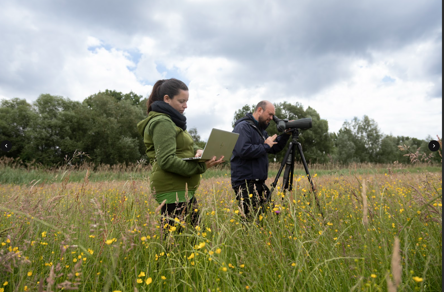
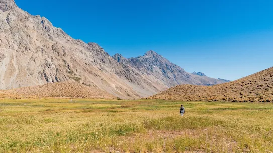
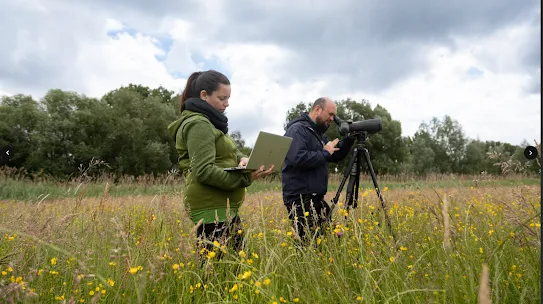
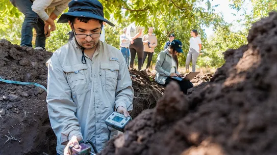
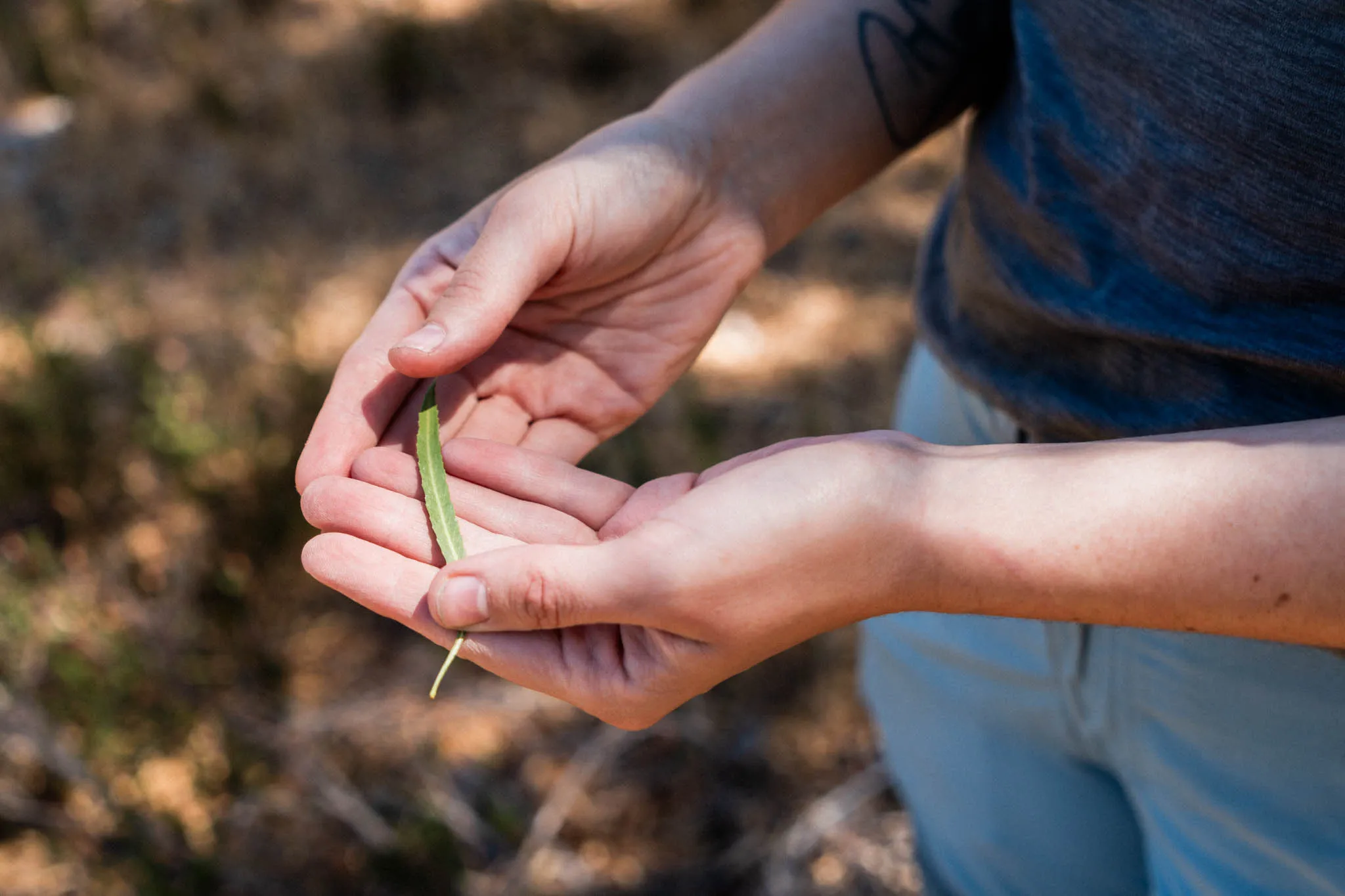
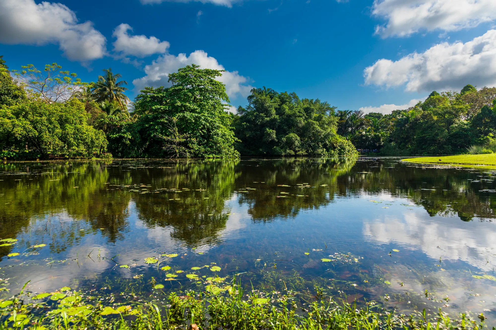
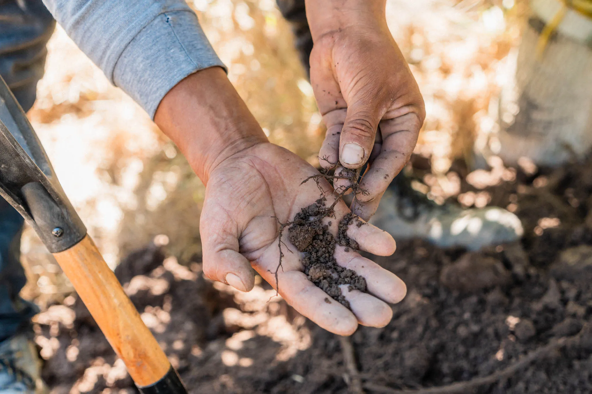
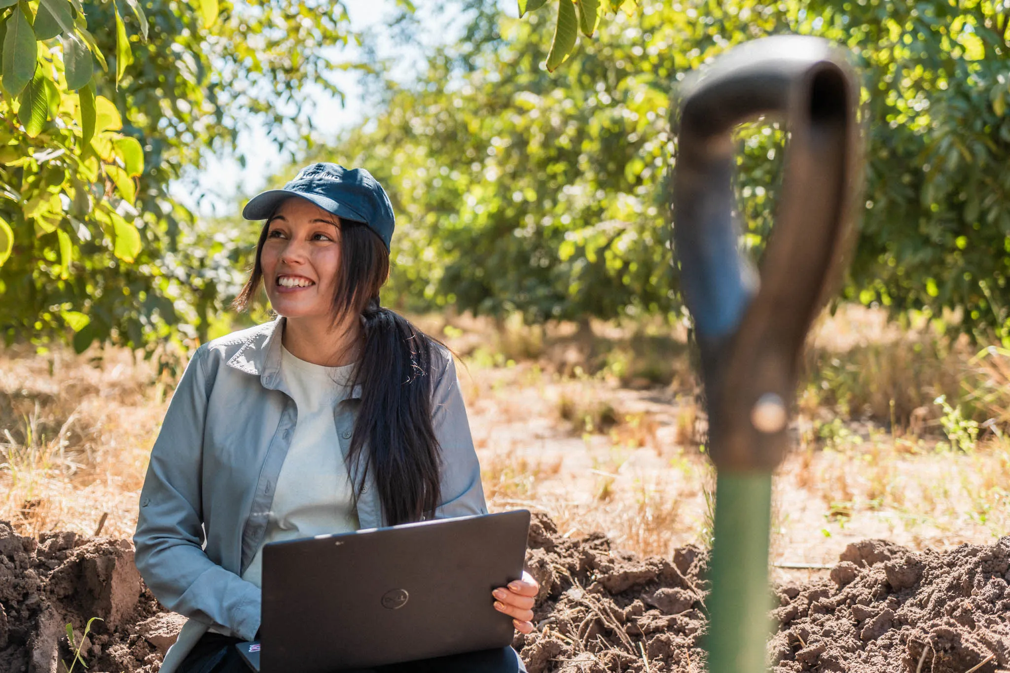
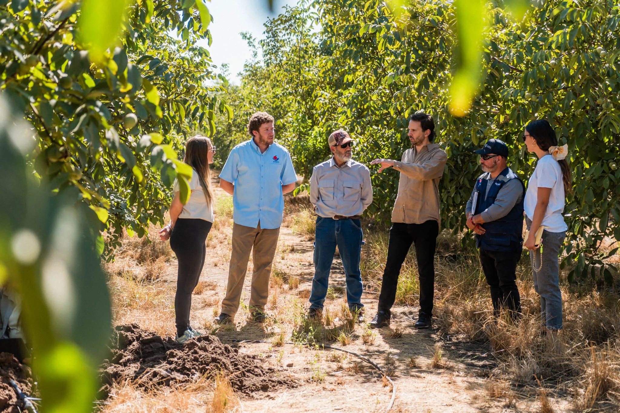
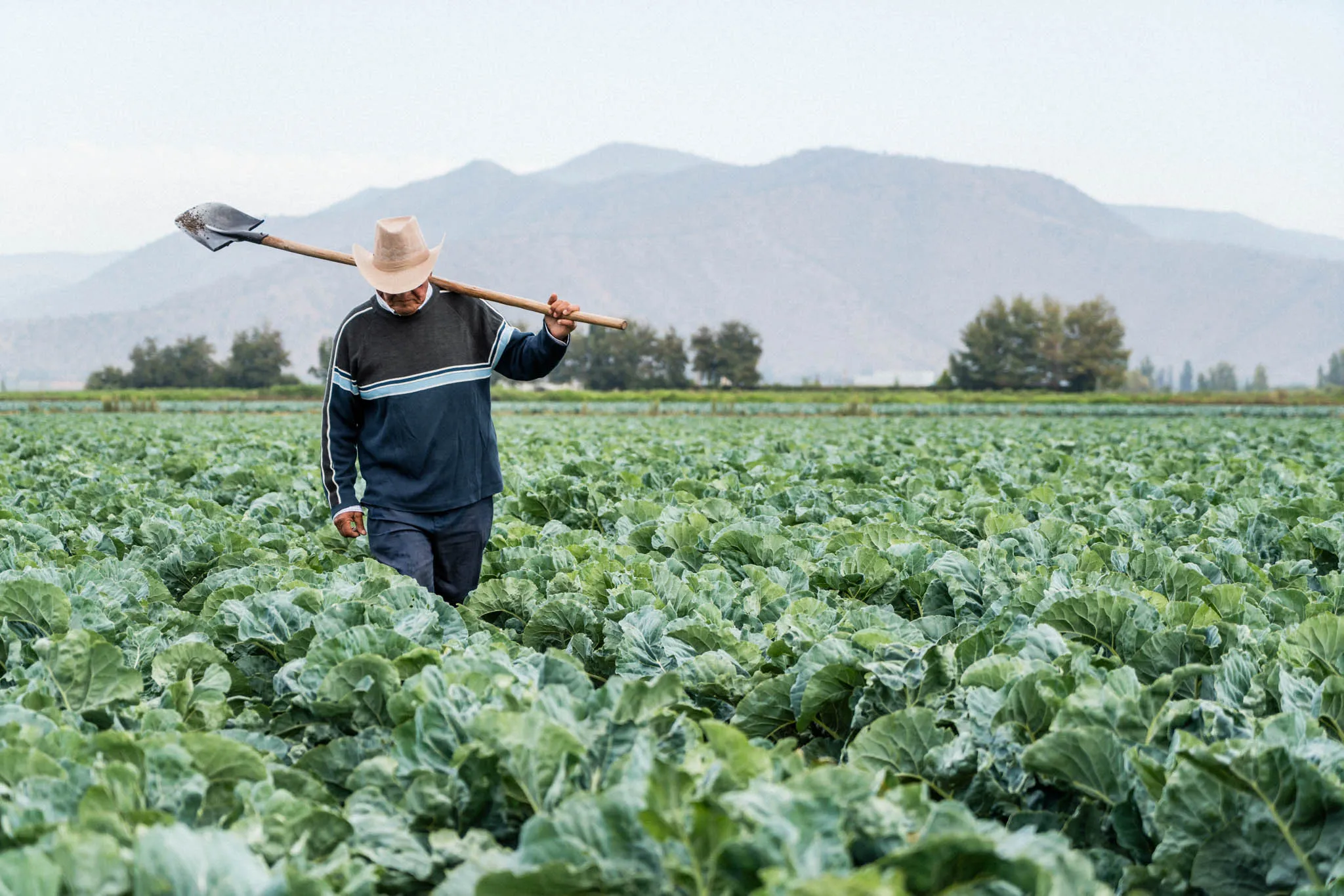
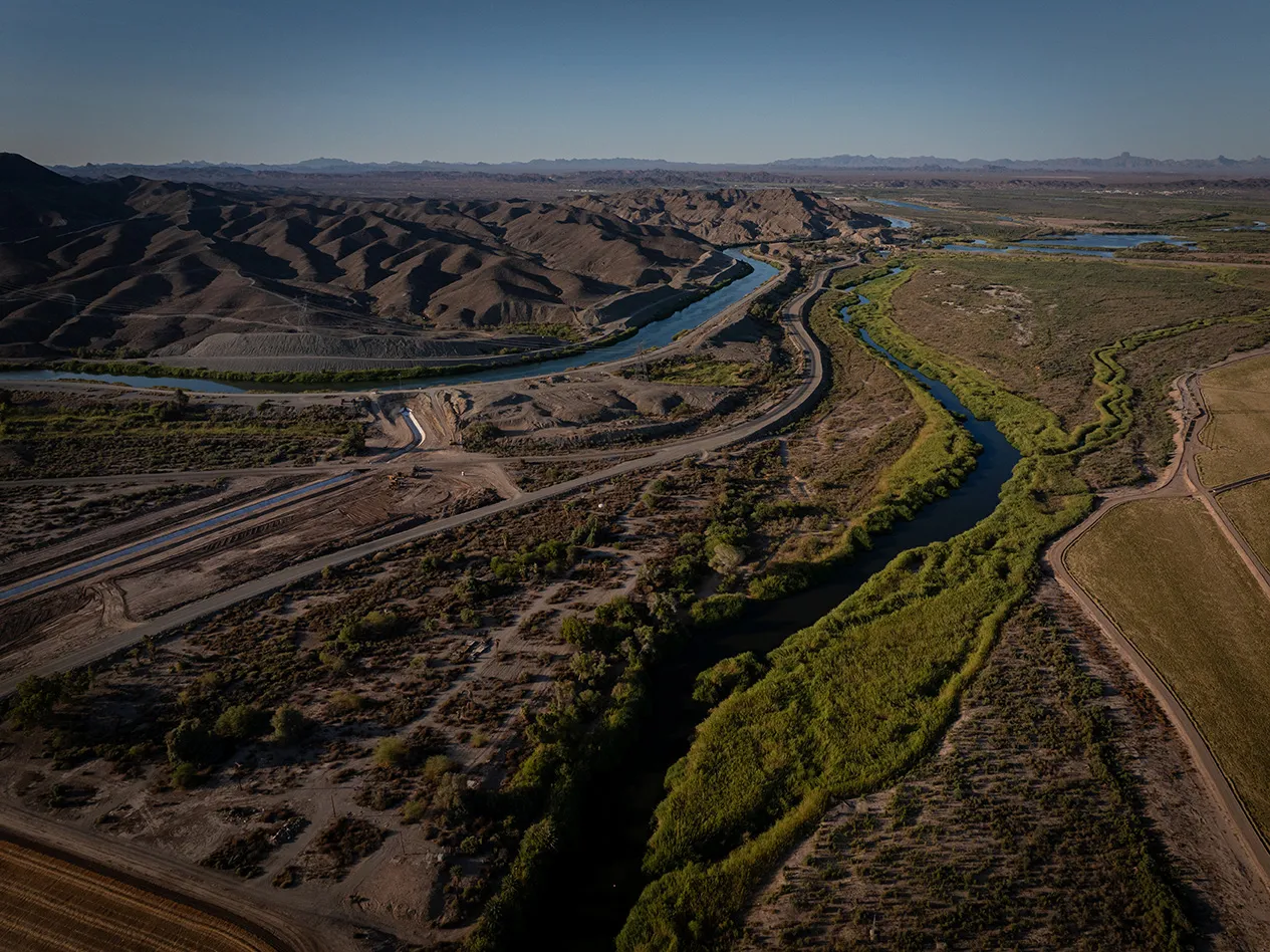
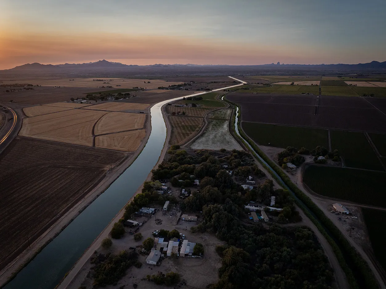
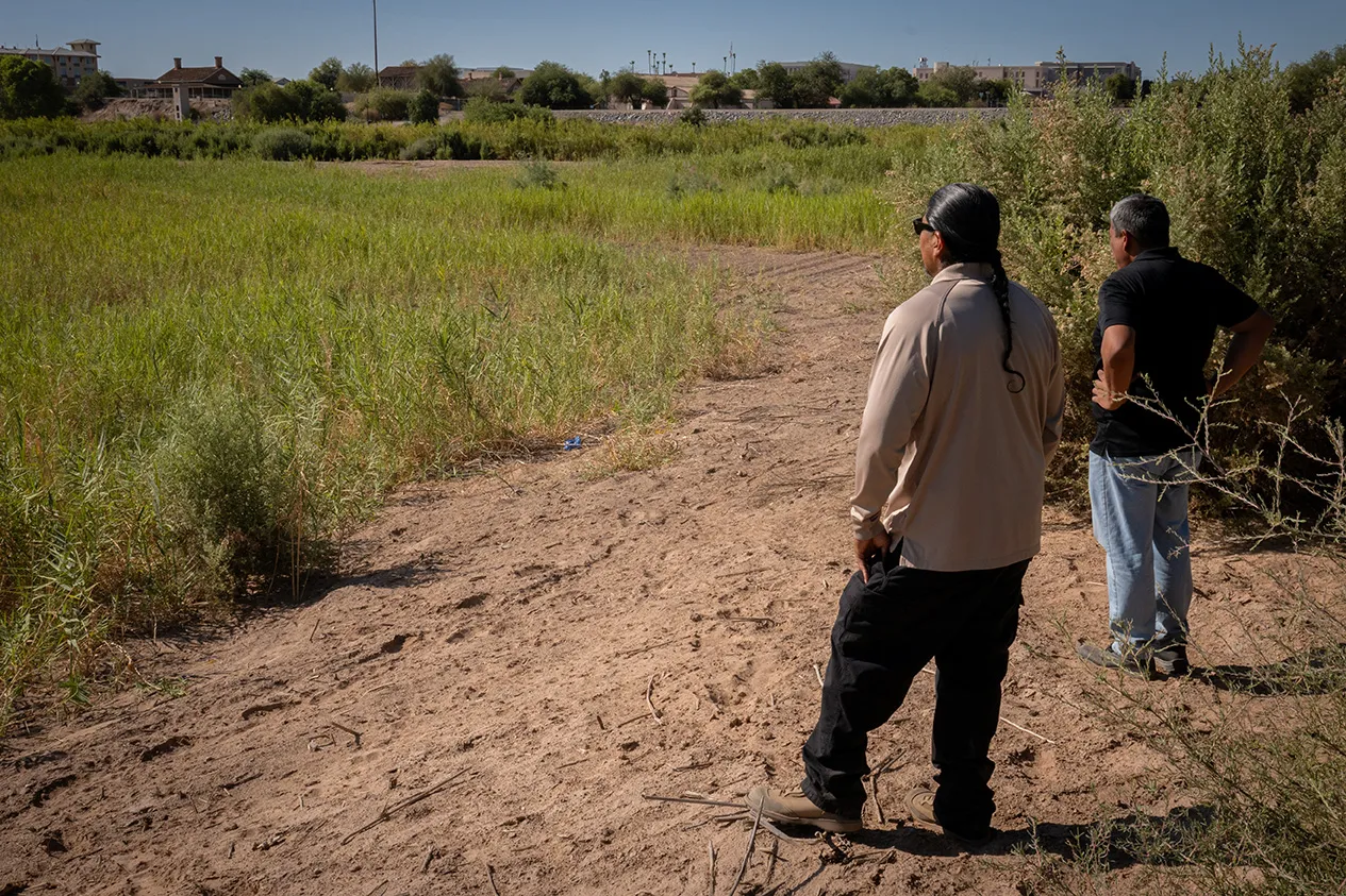
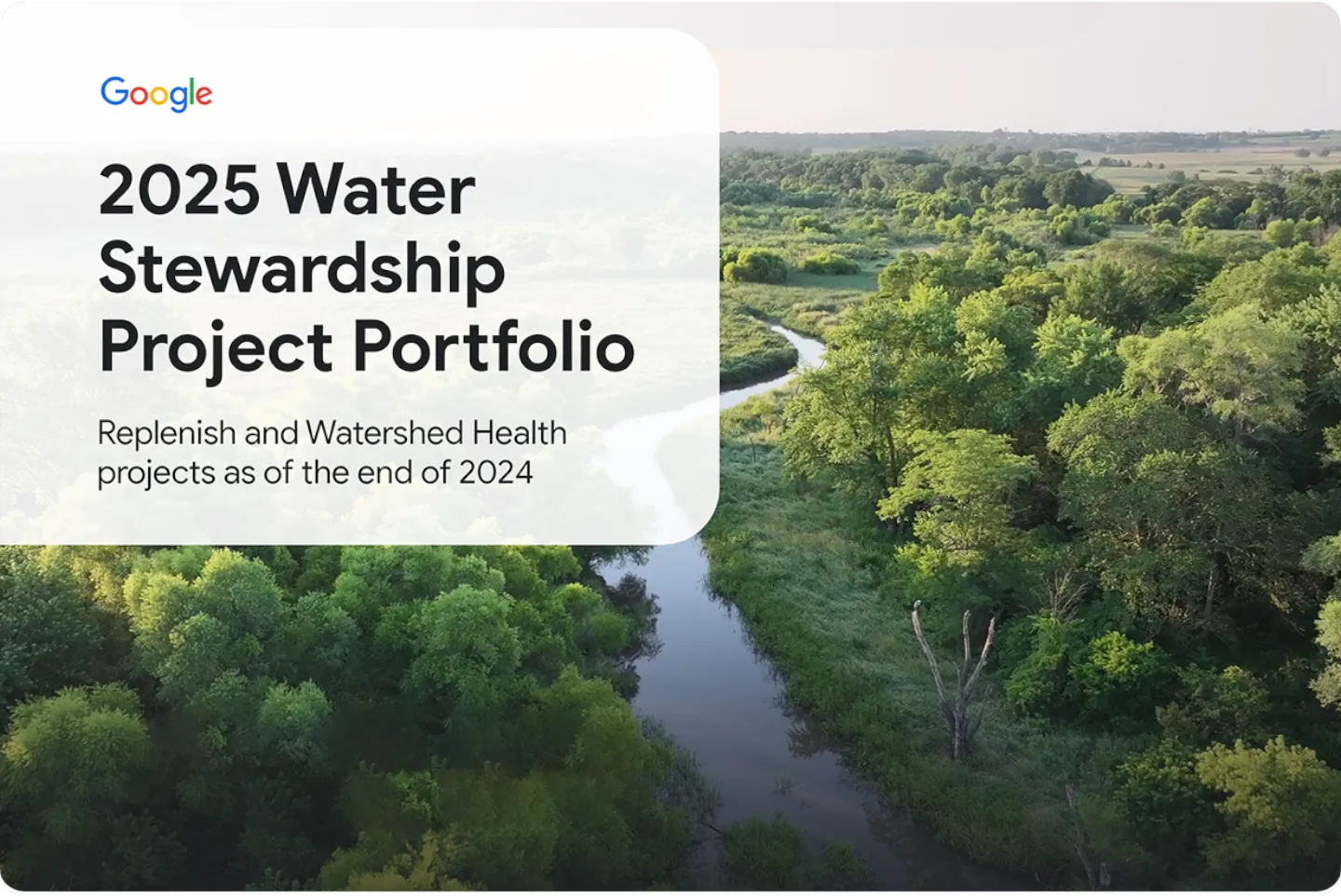
我们的可持续水管理项目
我们通过可持续水管理计划,积极投入水资源补充和流域生态健康建设,并与当地组织携手合作,共同应对开展业务运营的流域面临的挑战。
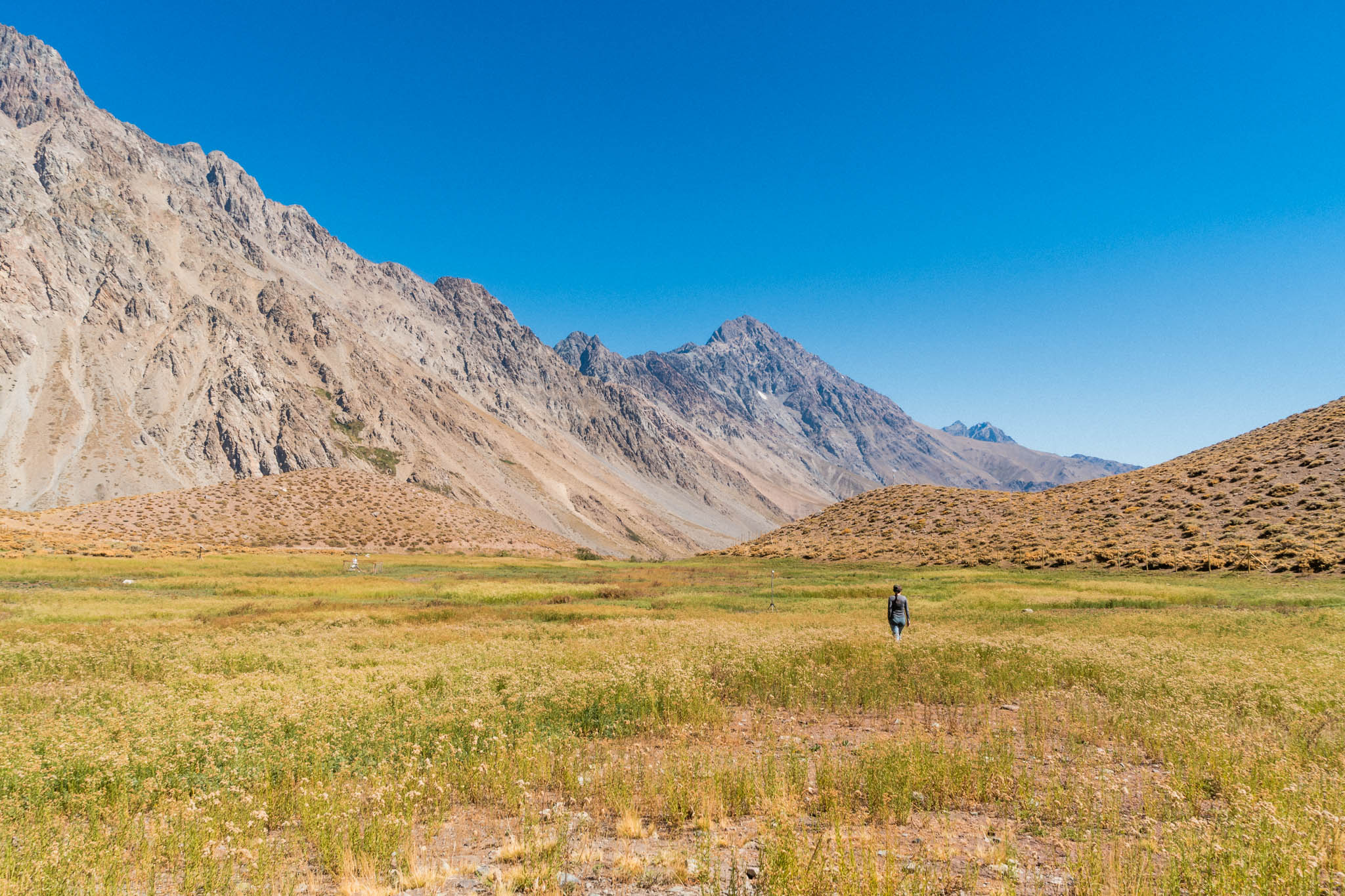
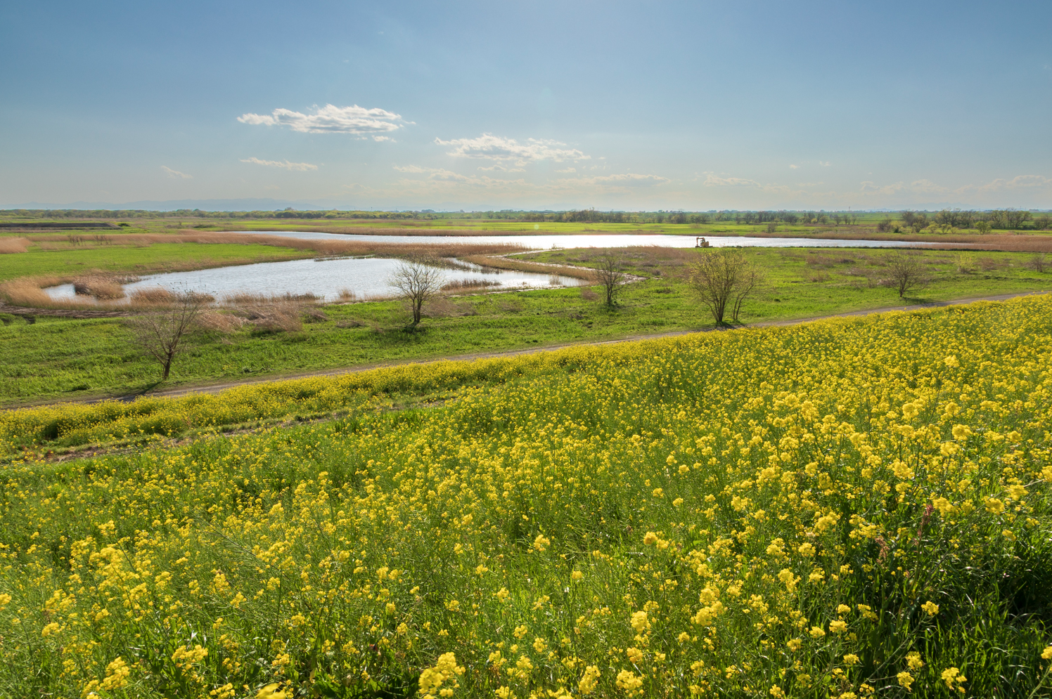
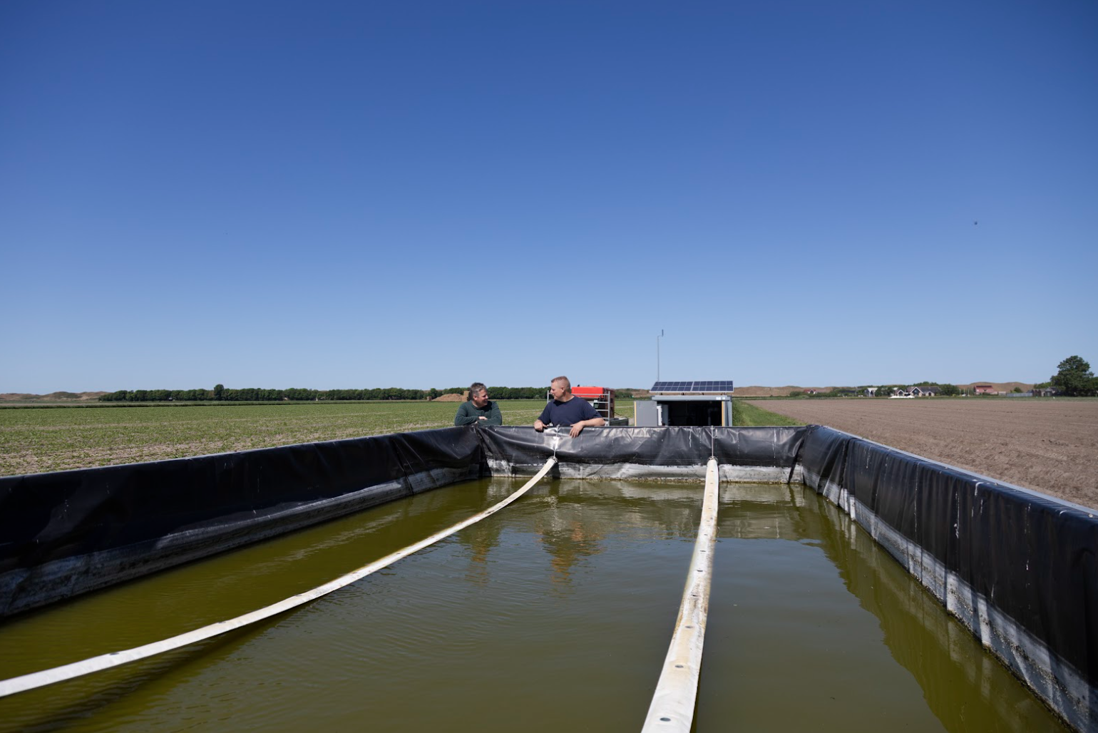
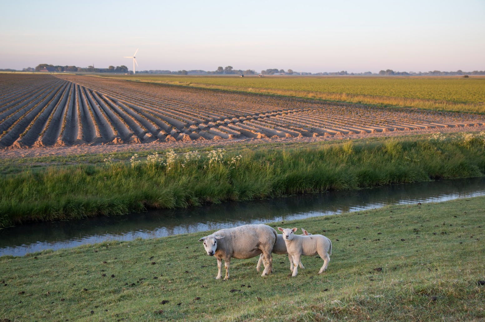
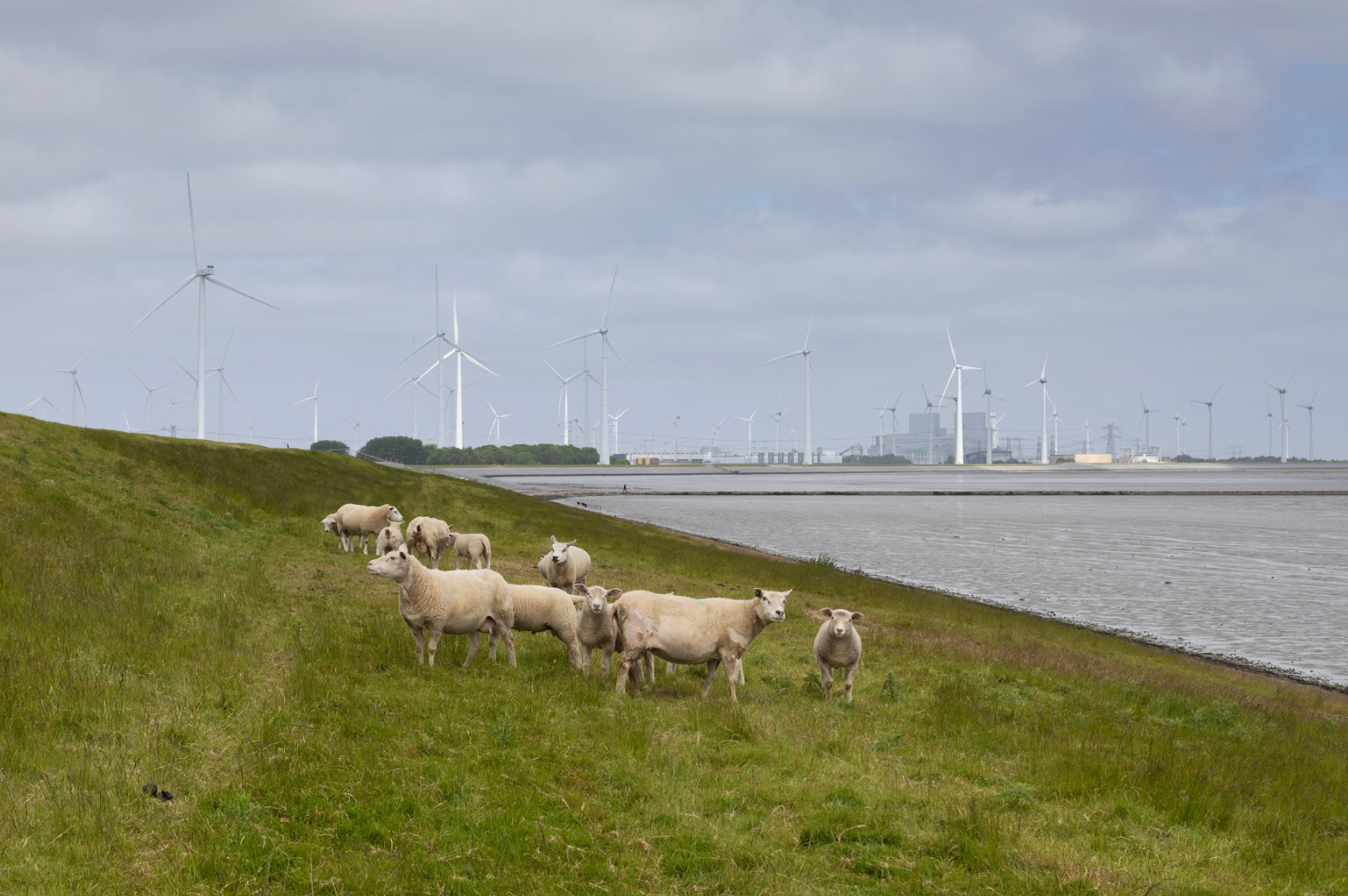
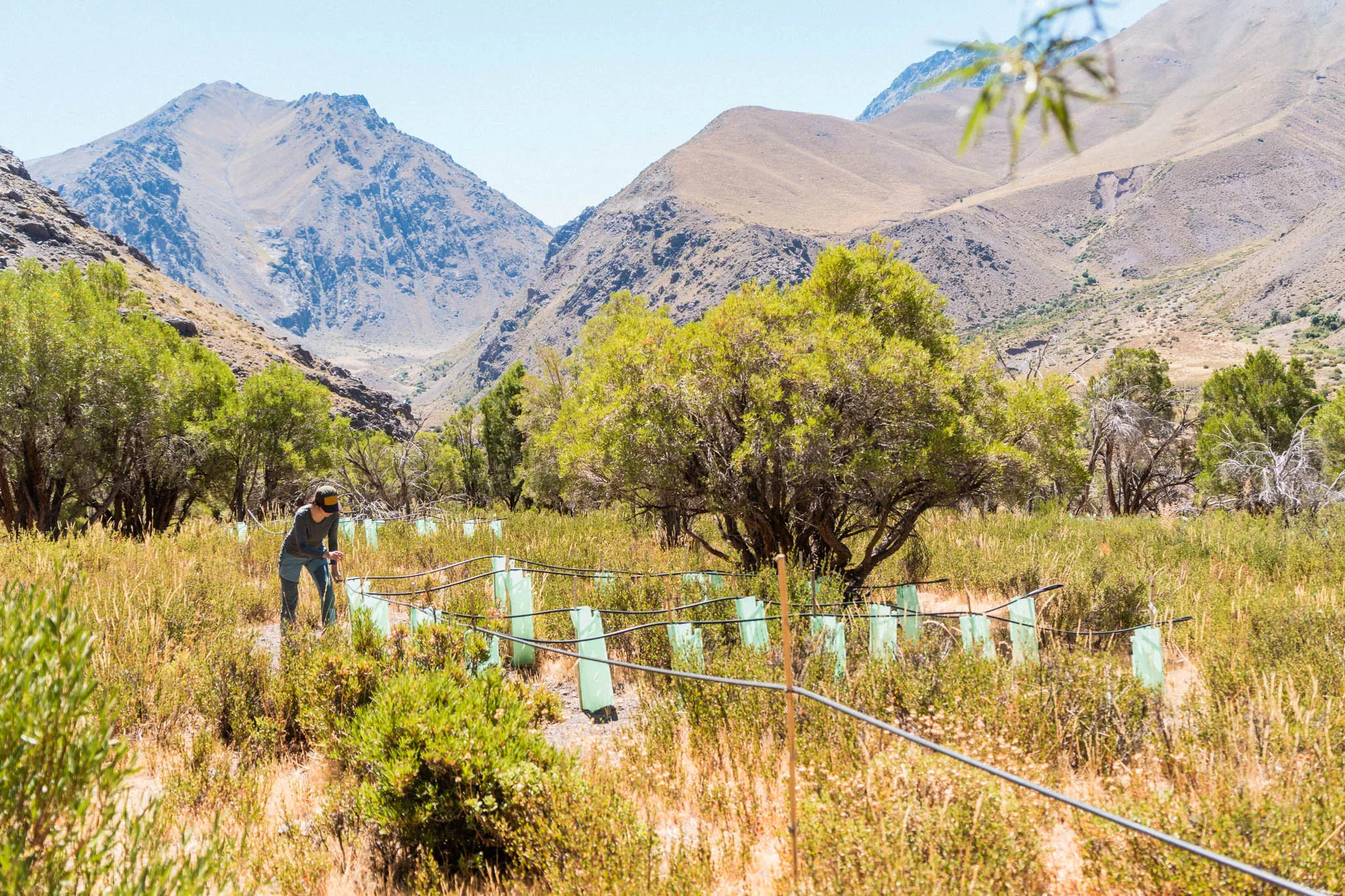
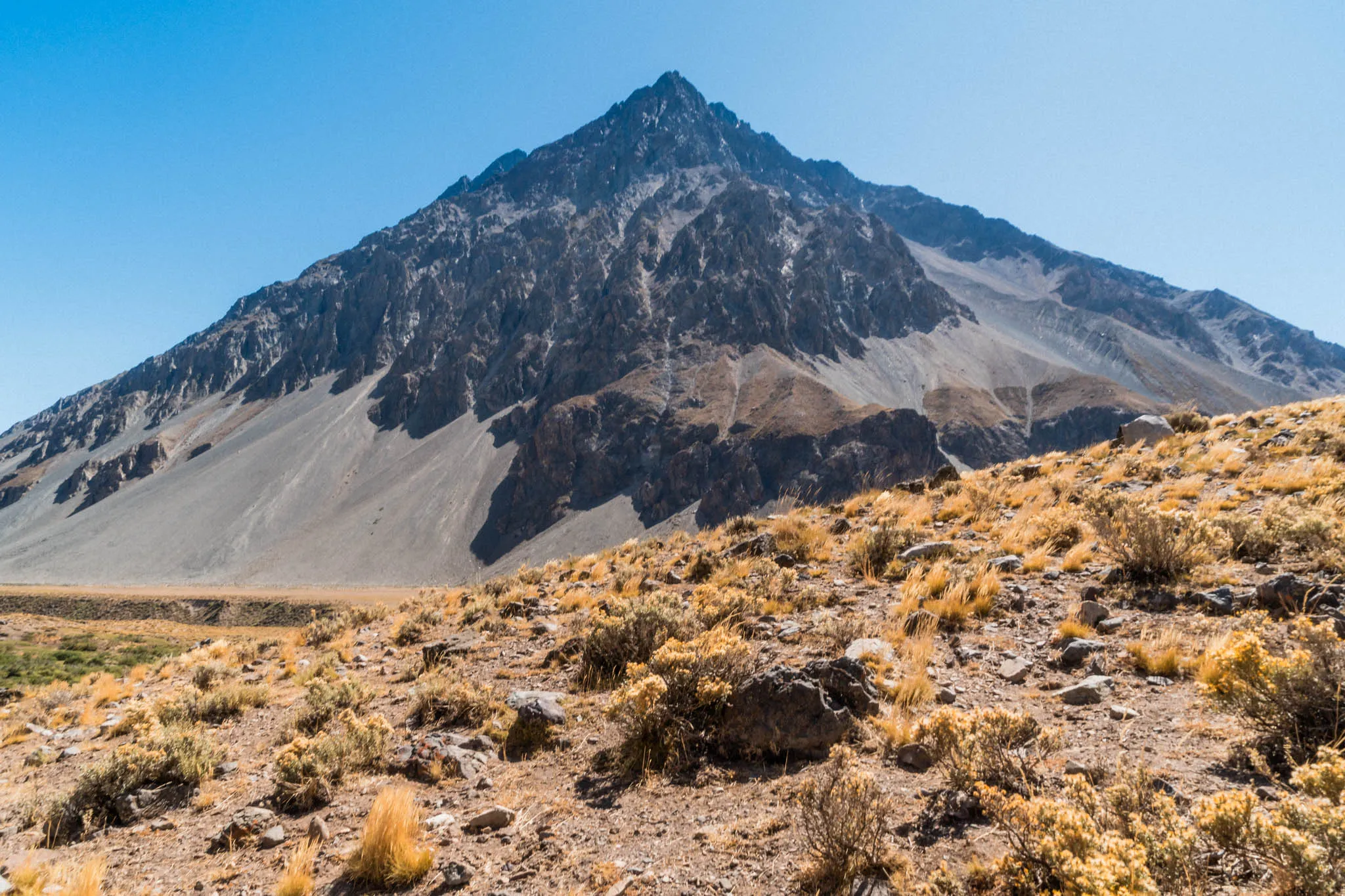
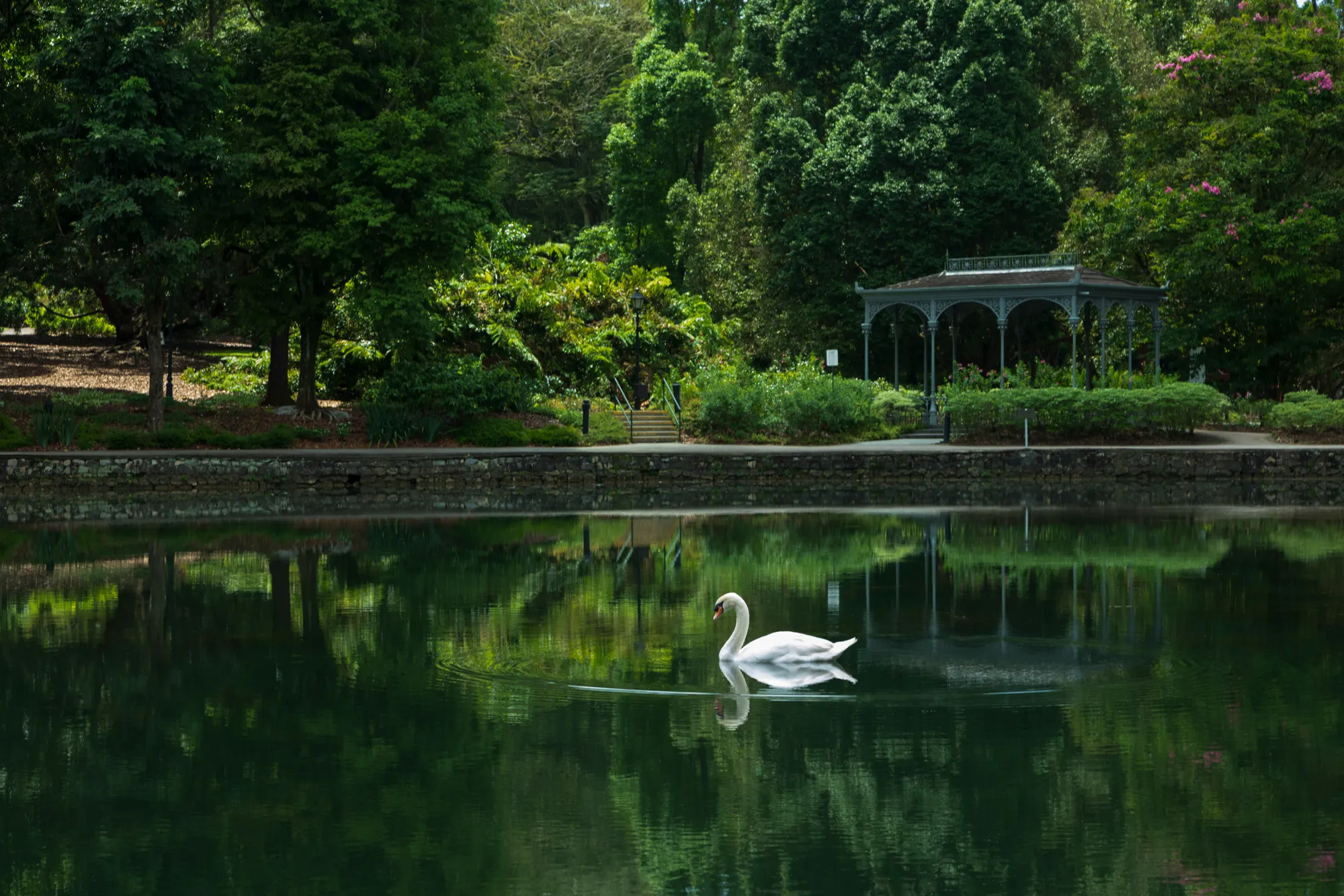
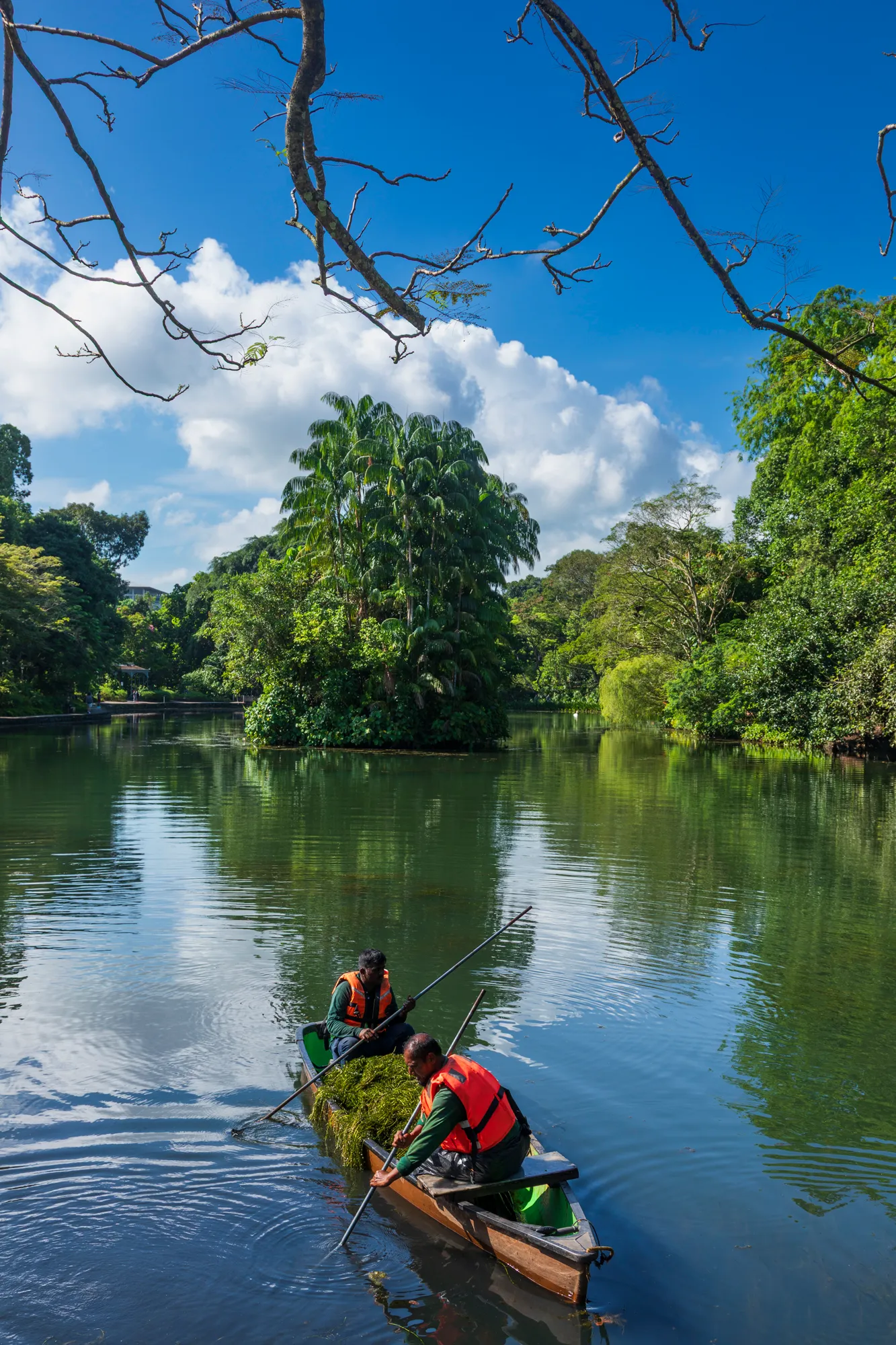
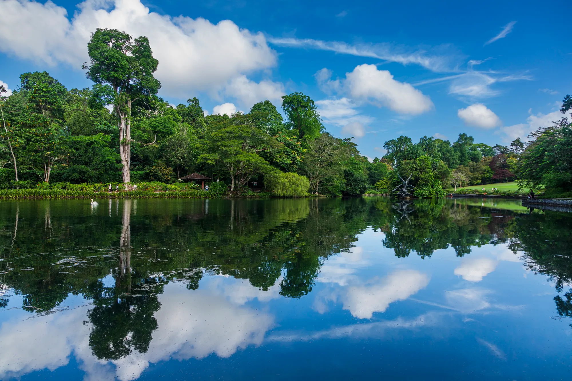
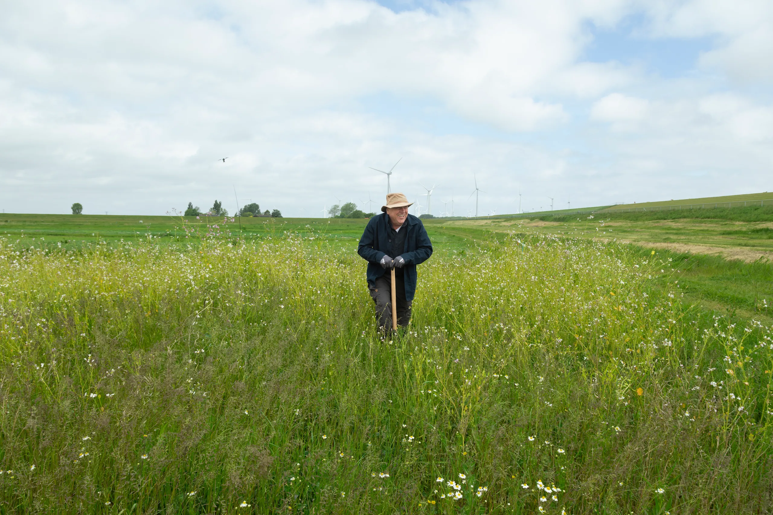
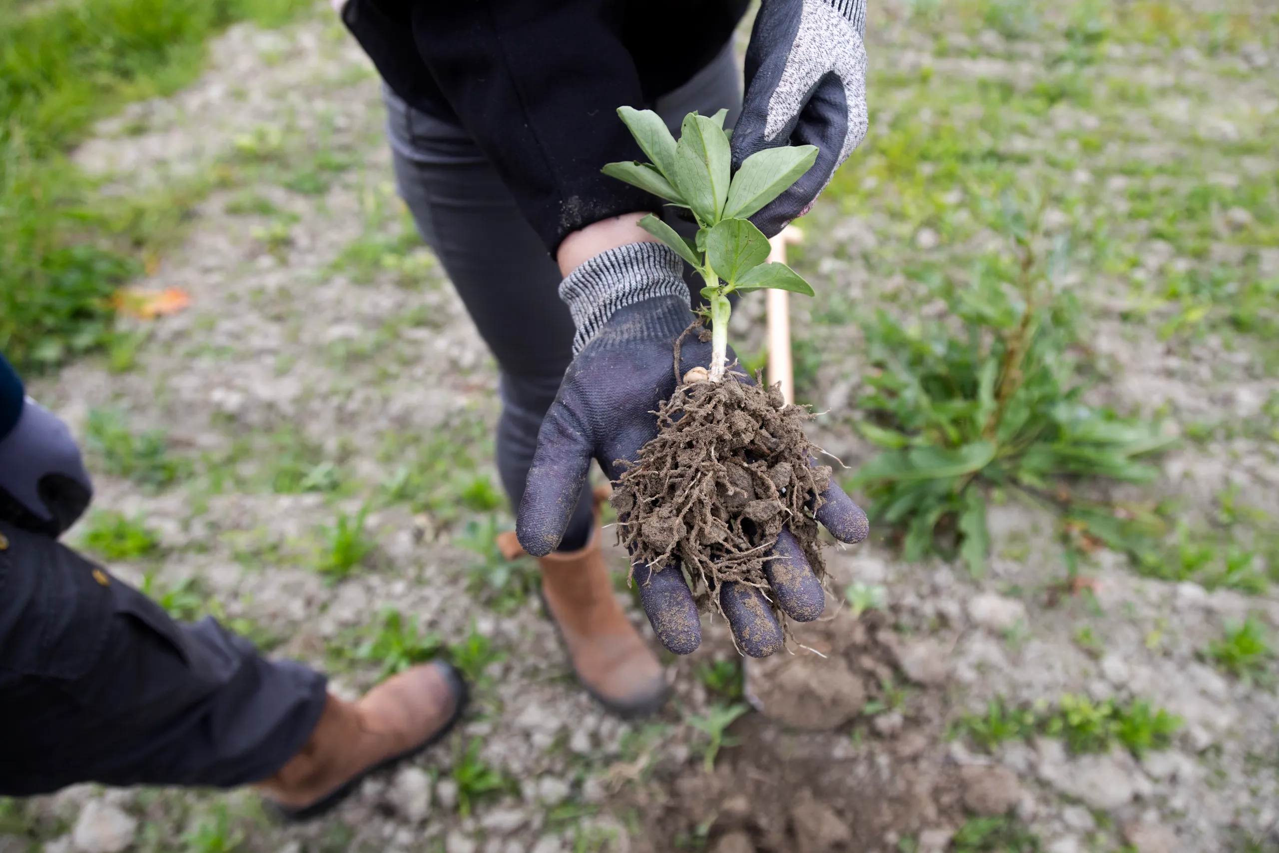
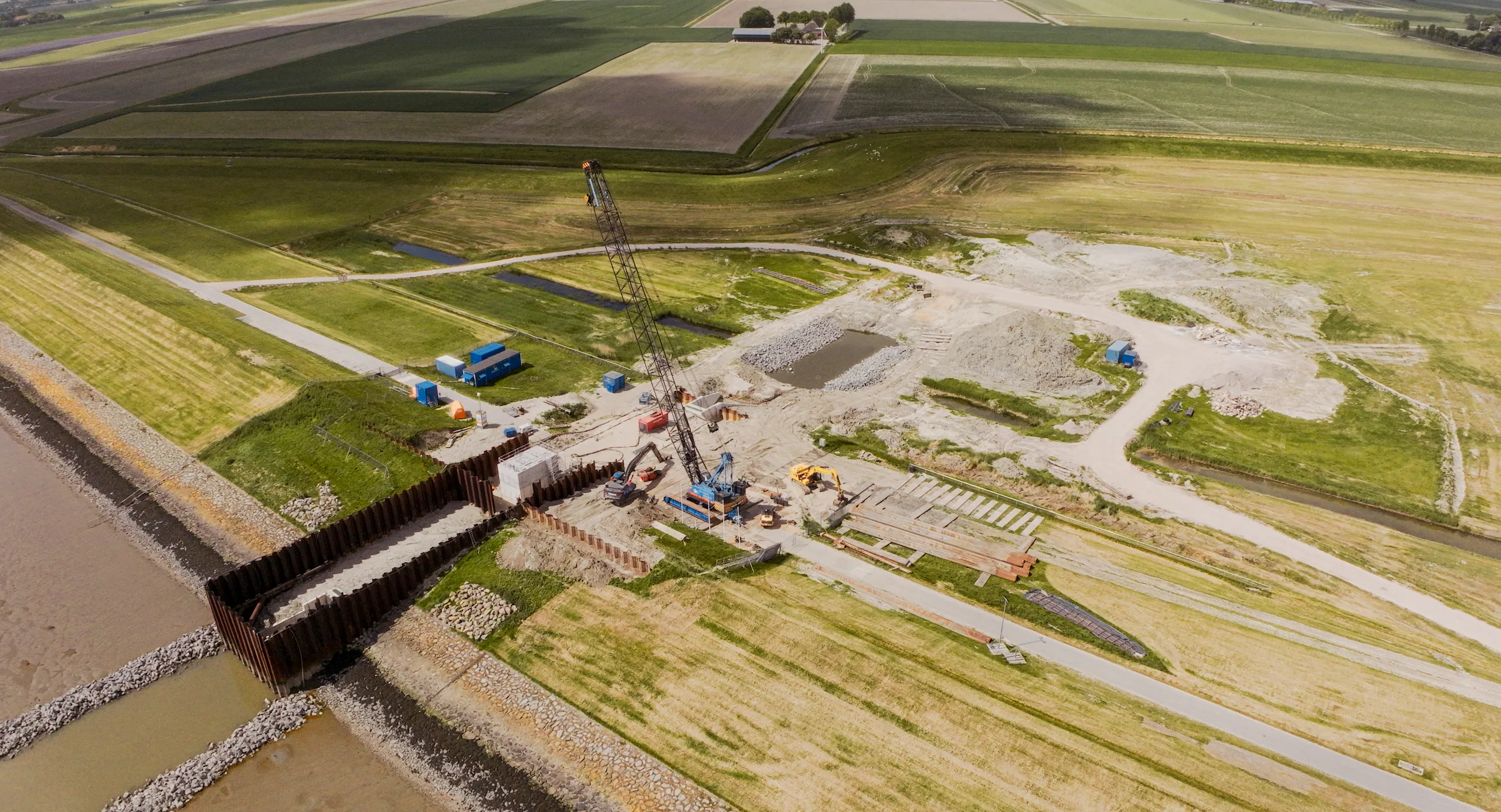
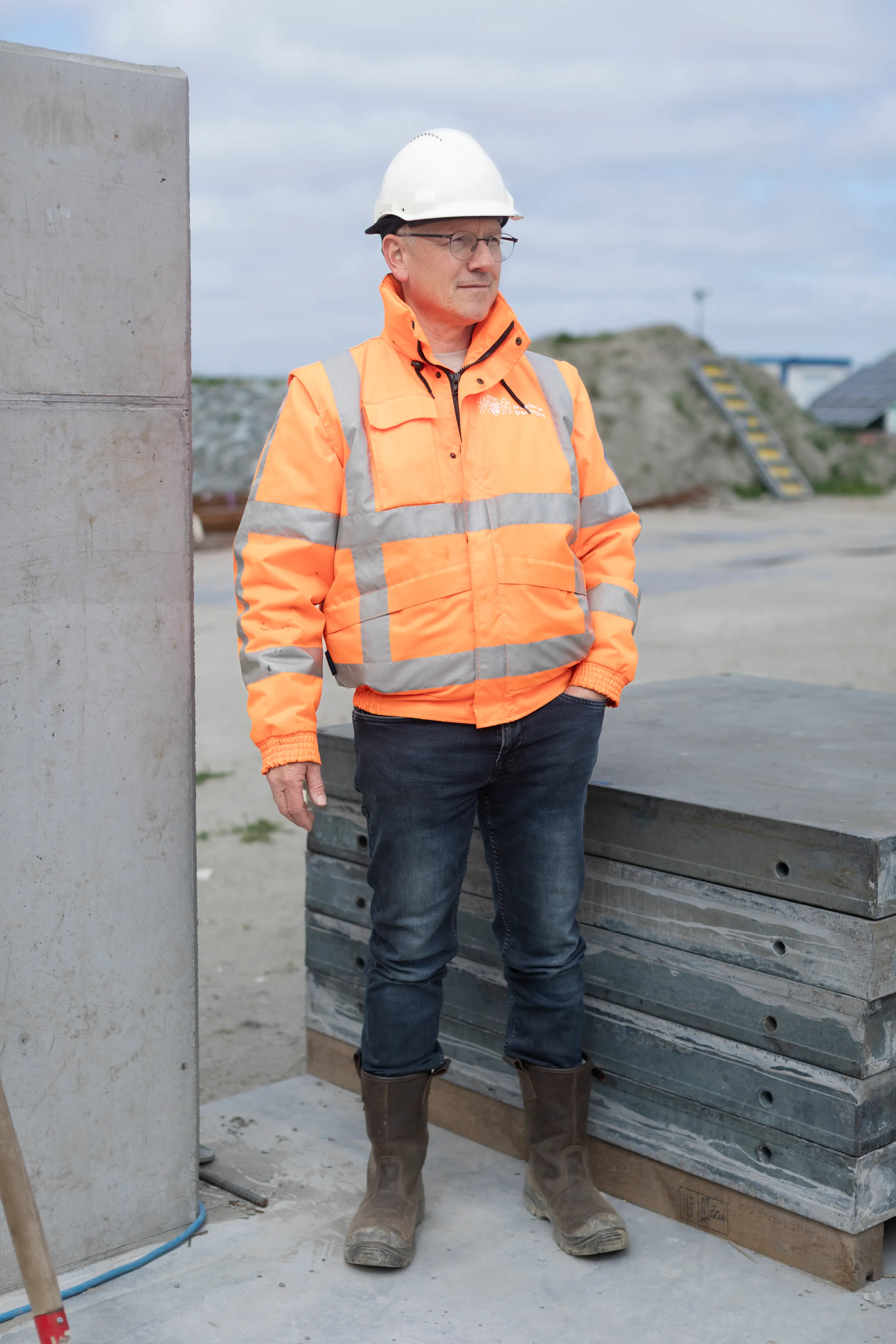
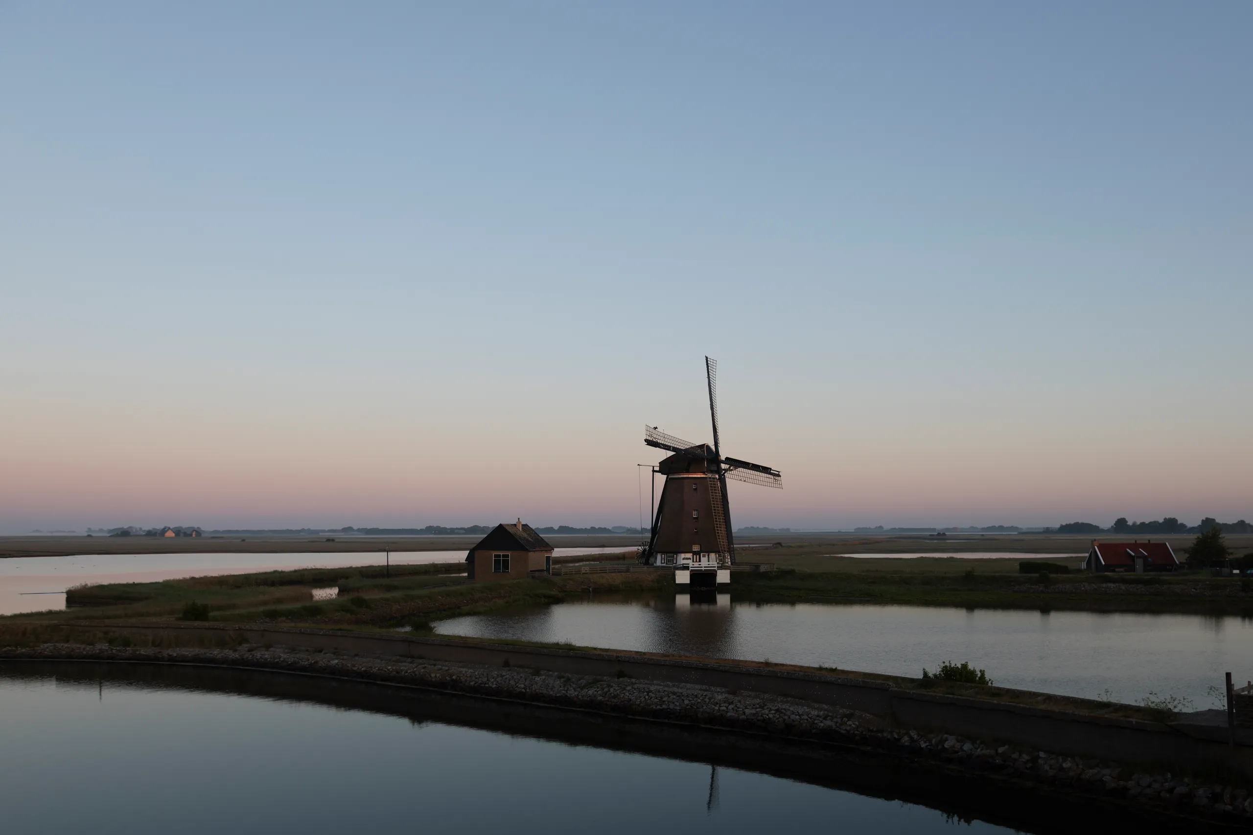
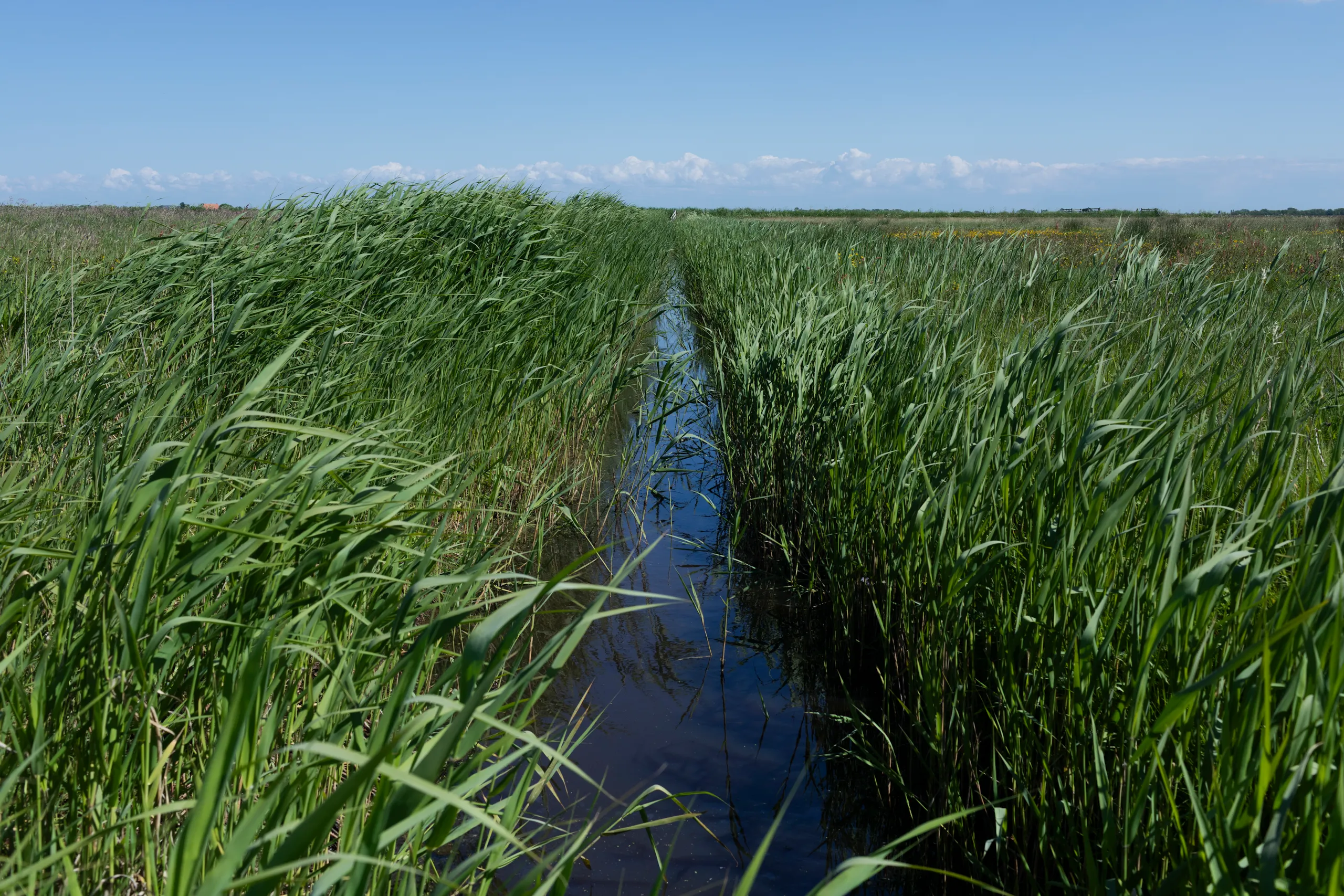
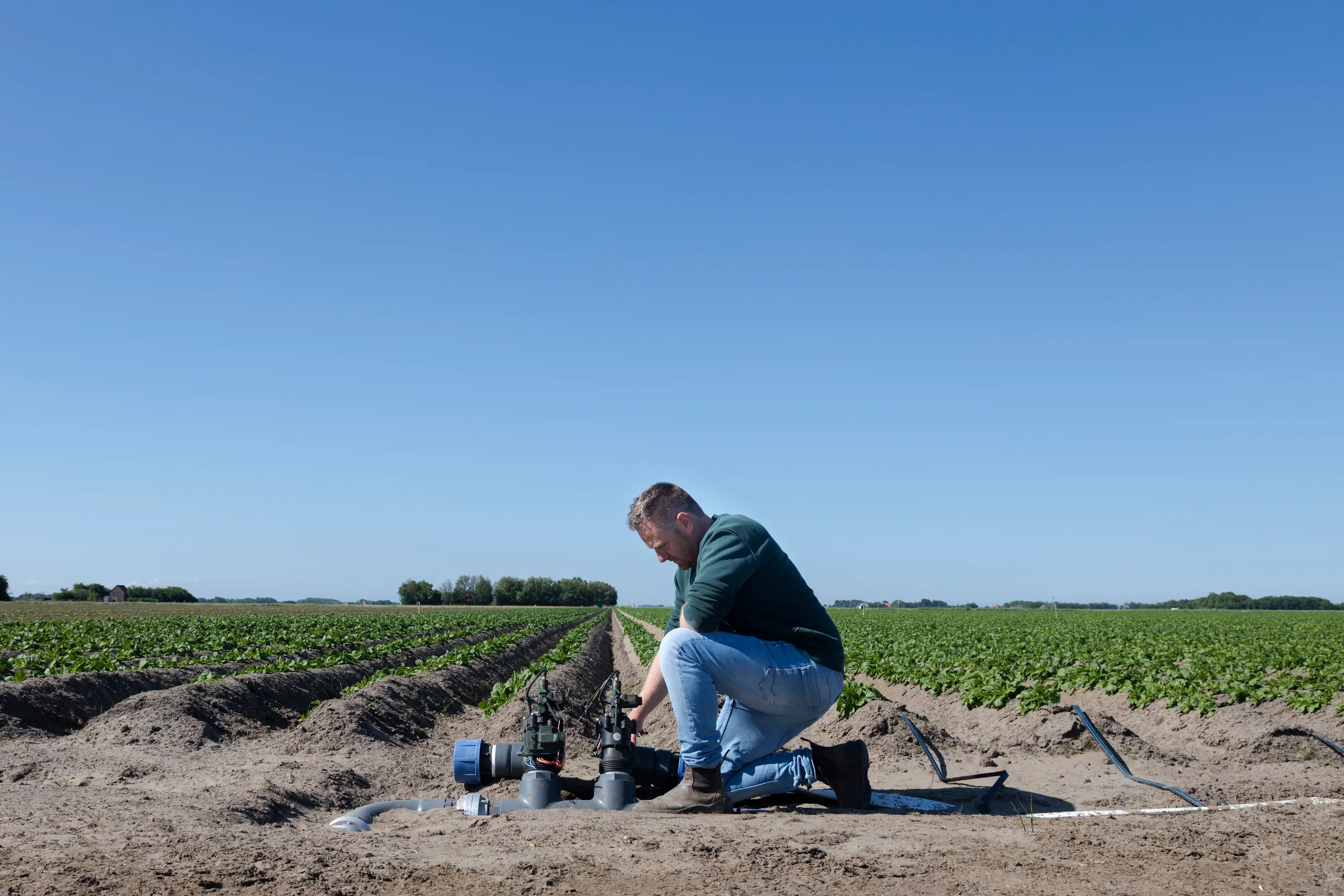
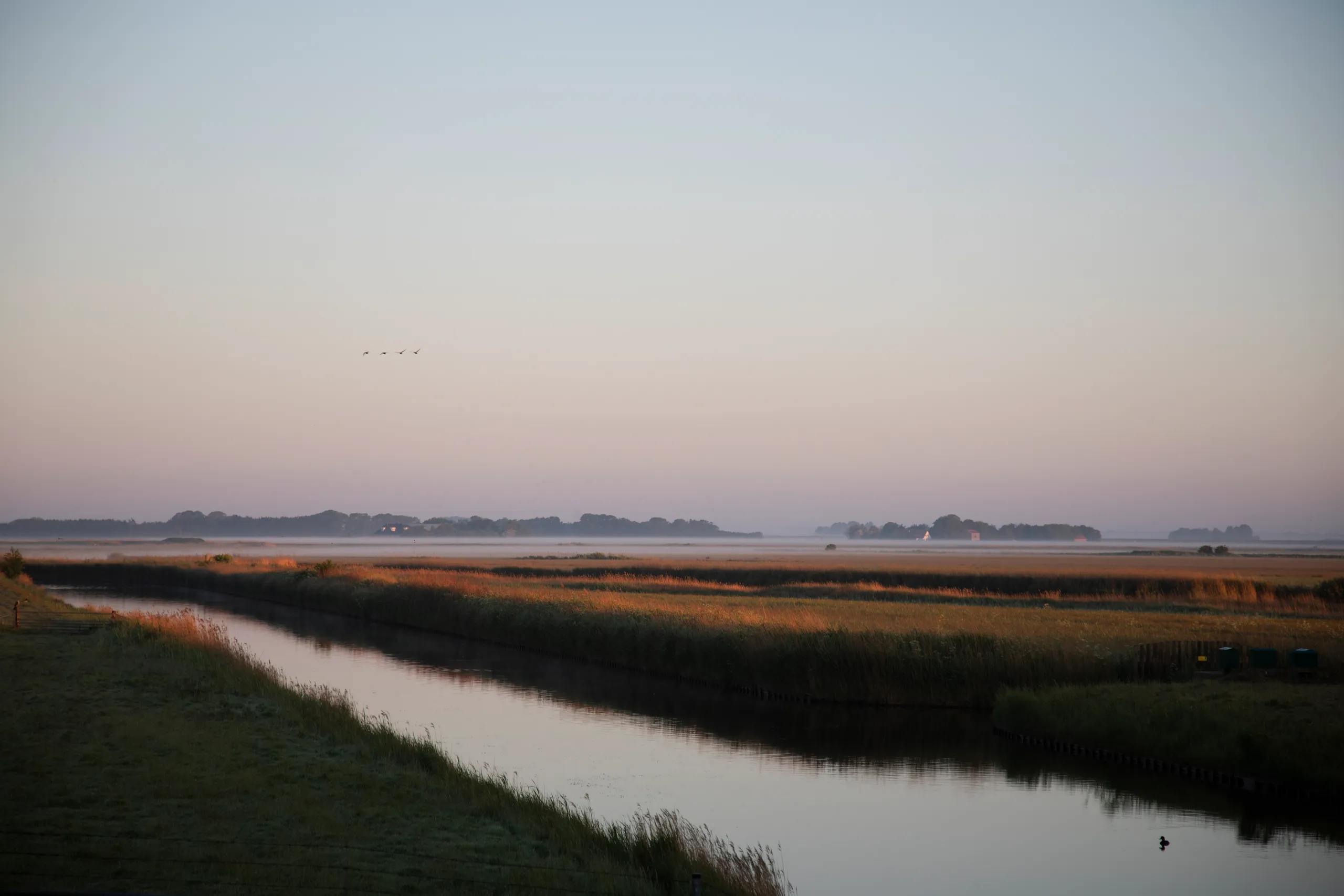
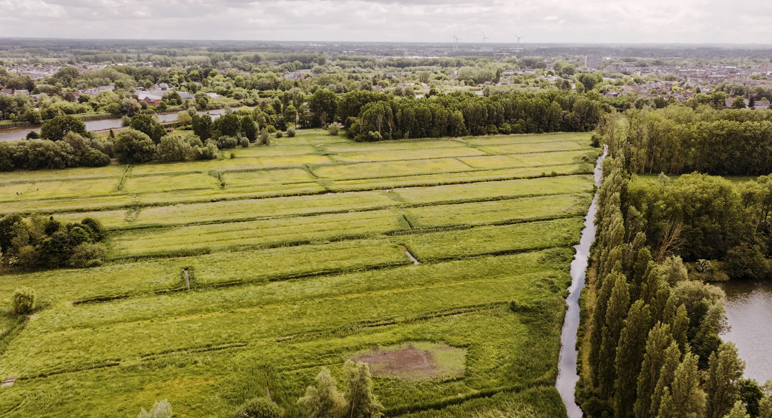
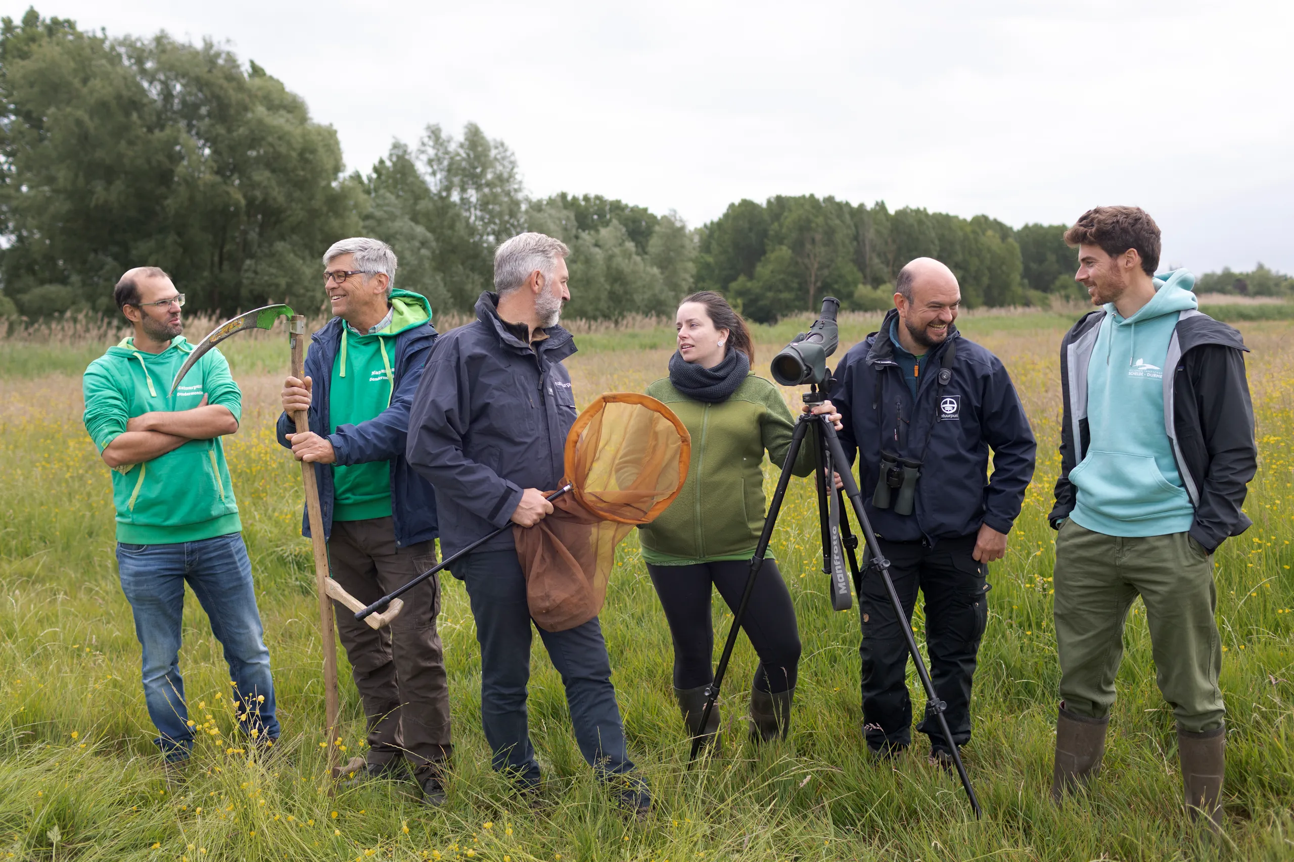
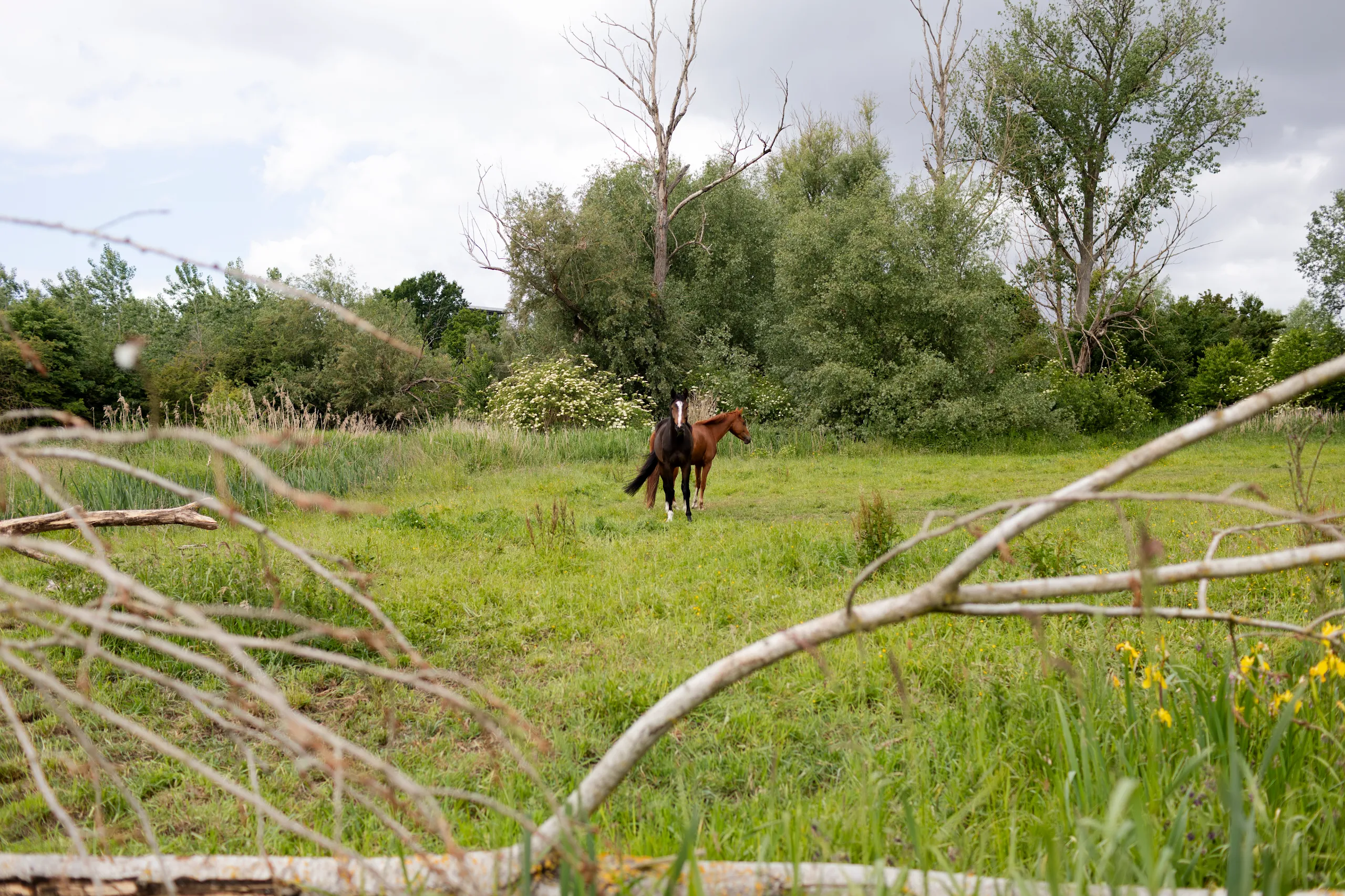
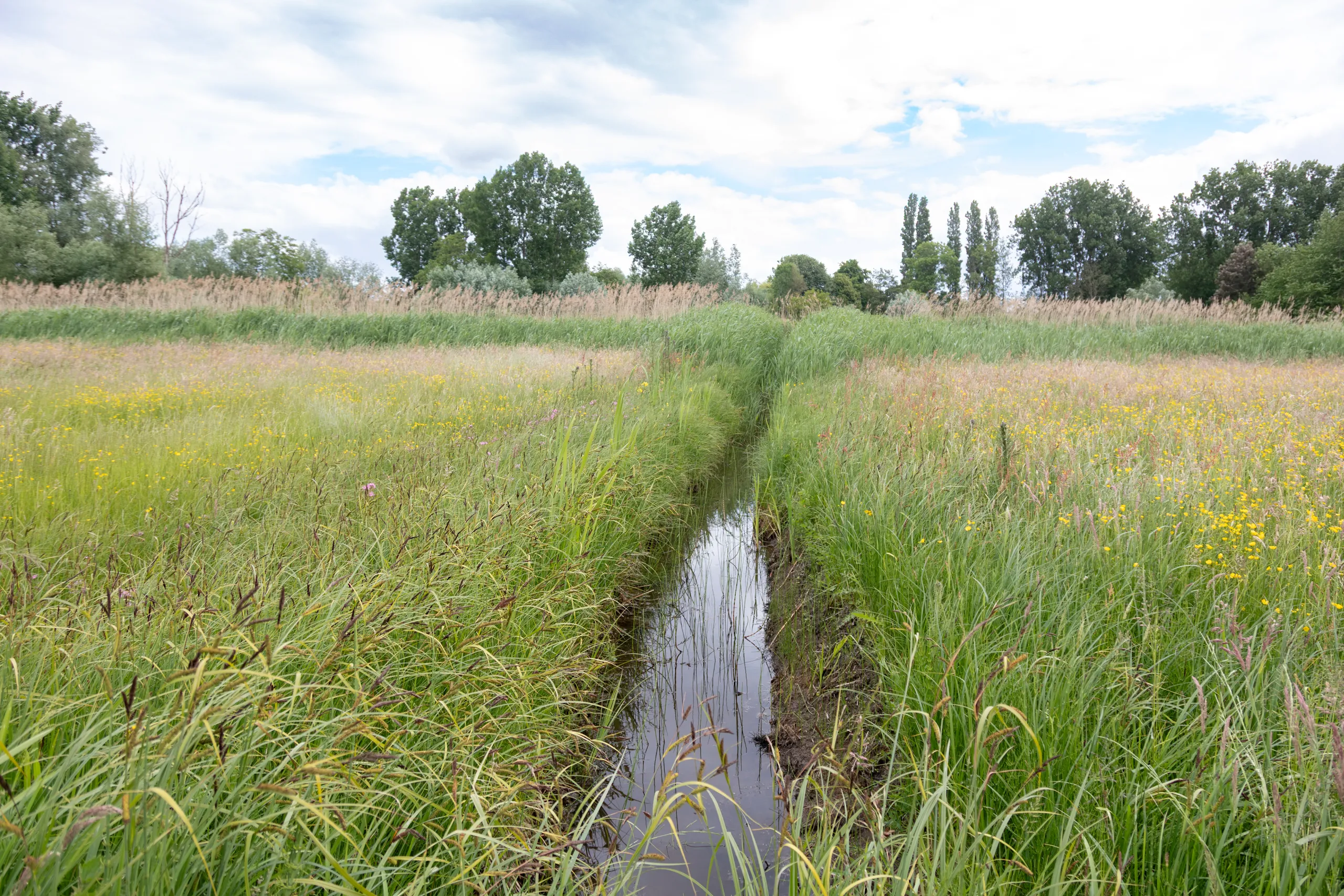
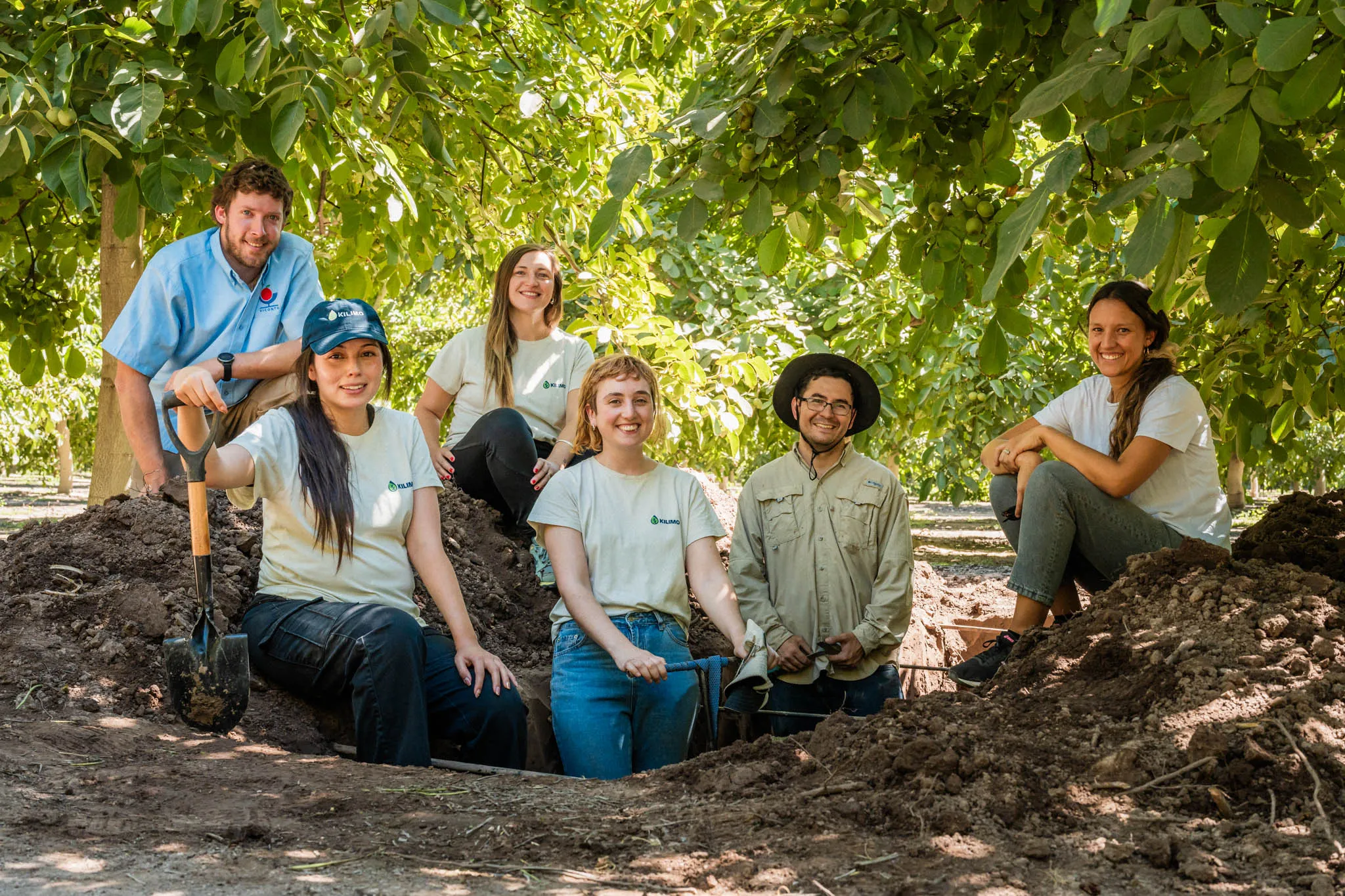
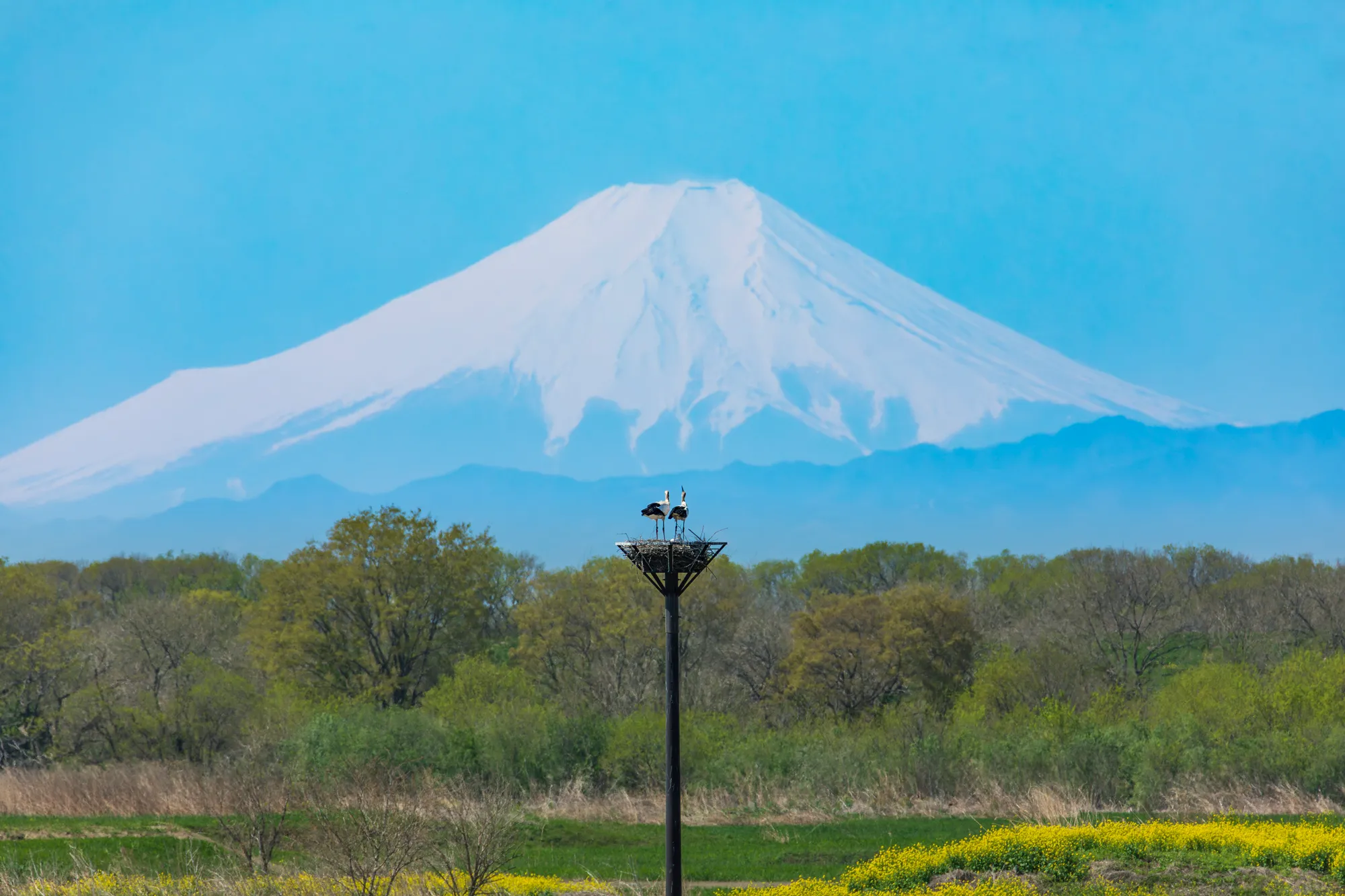
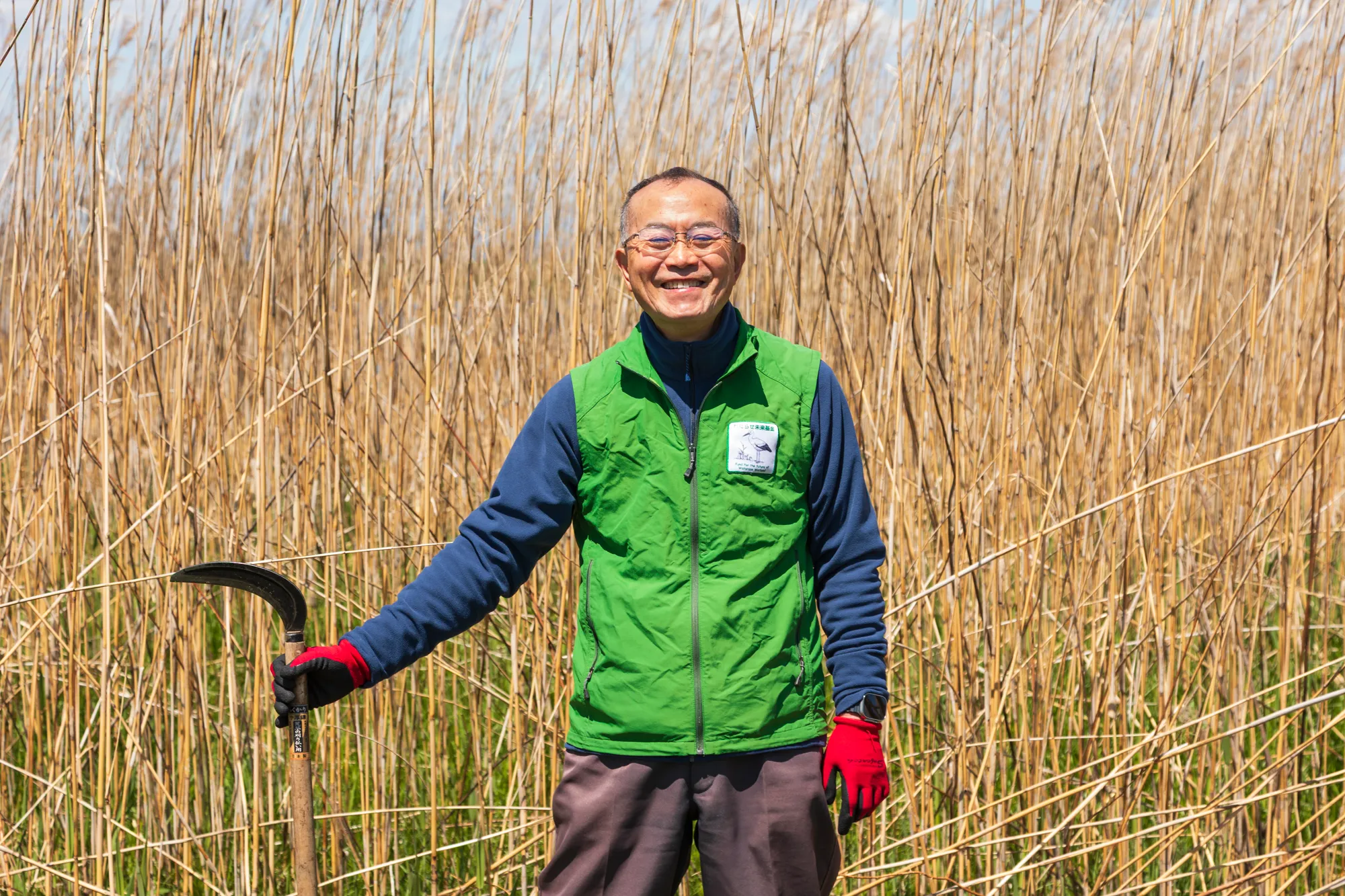
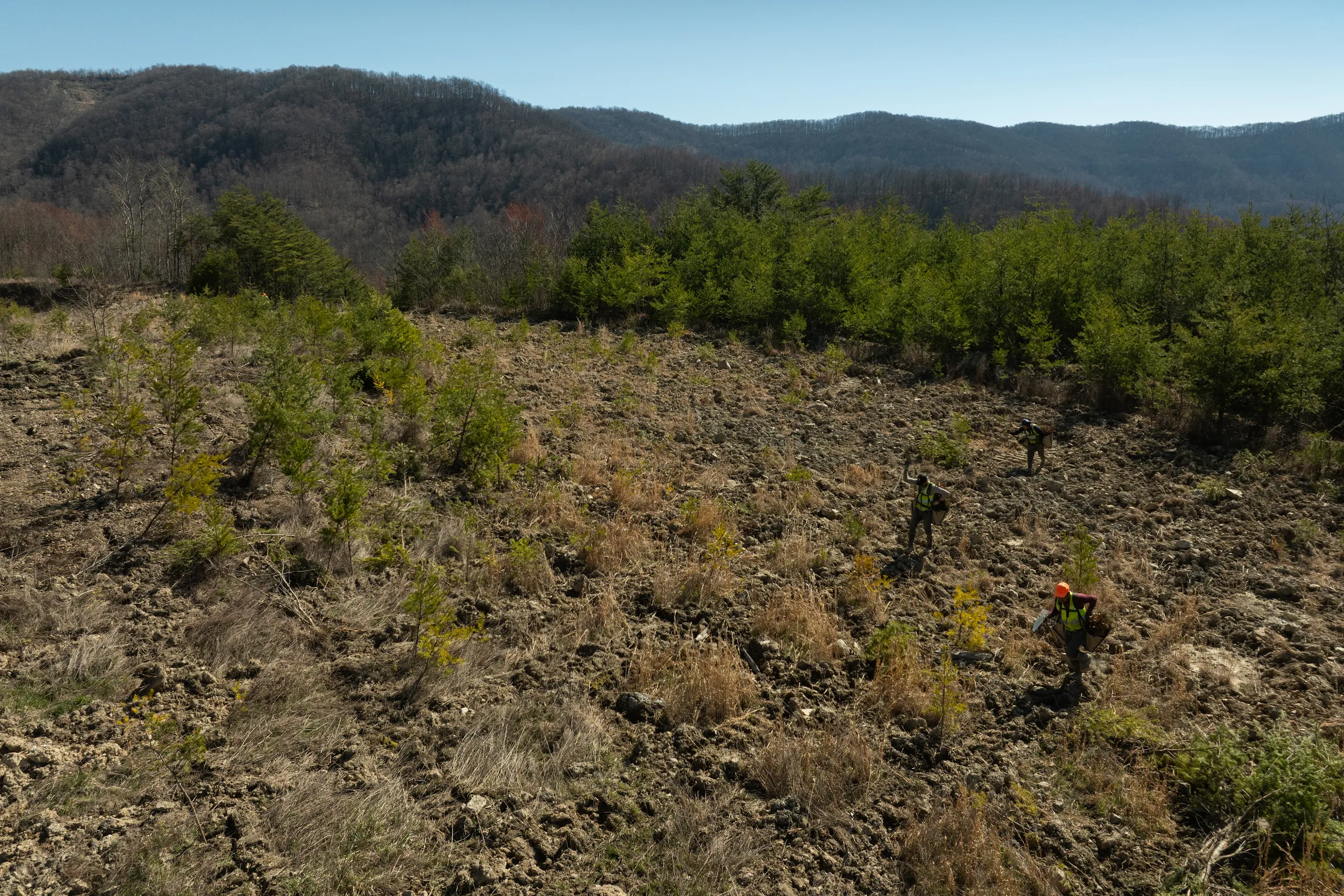
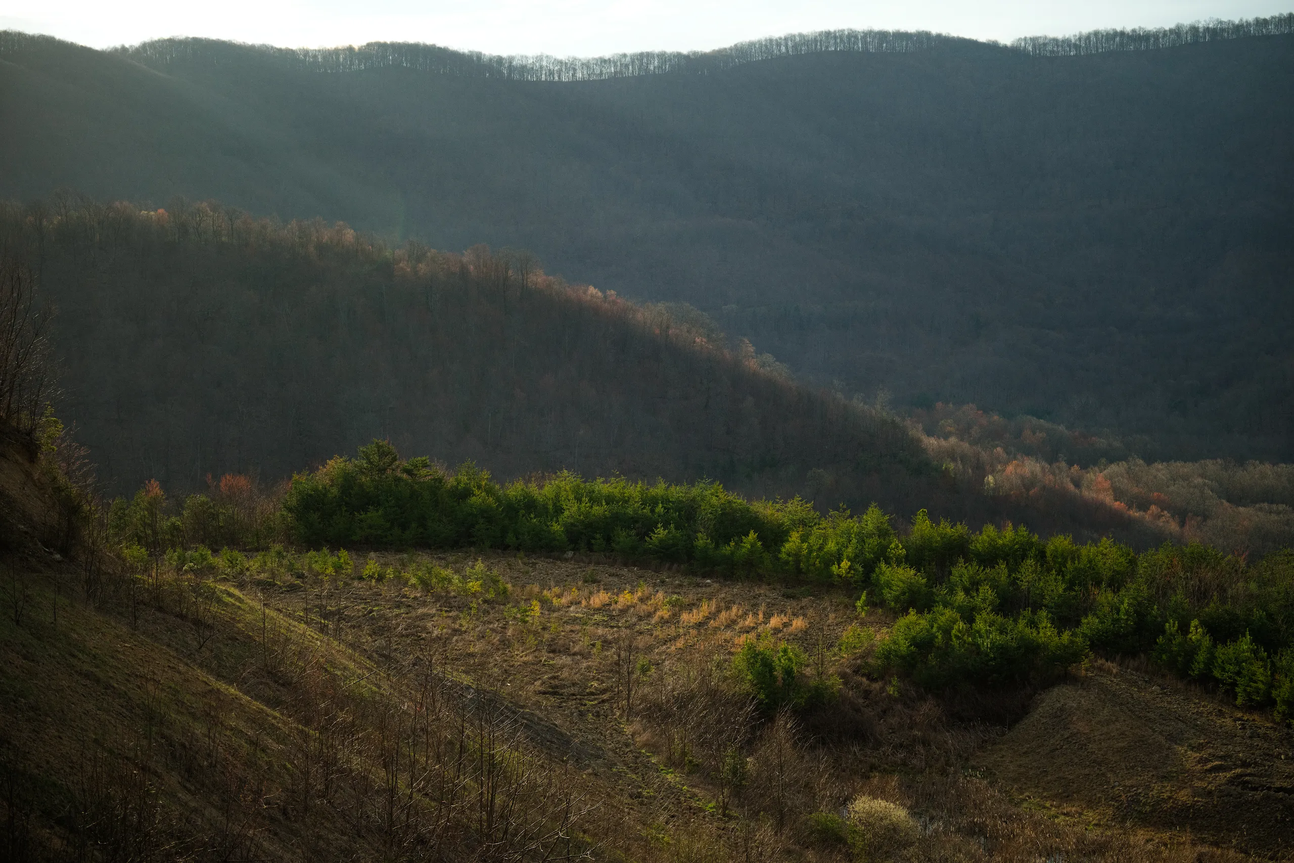
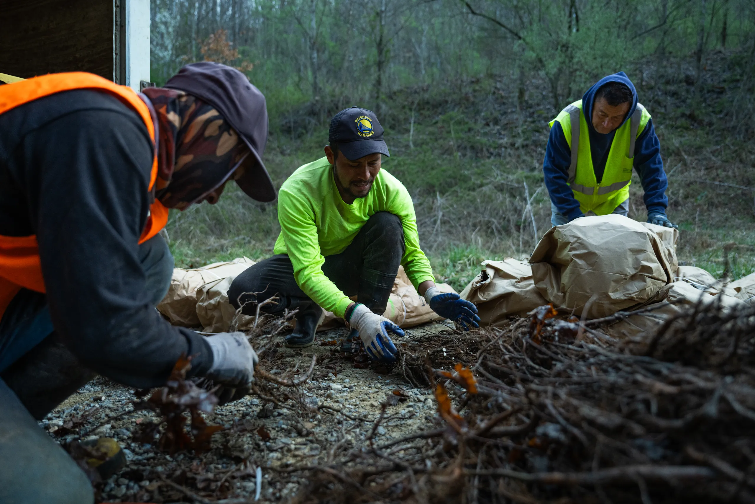
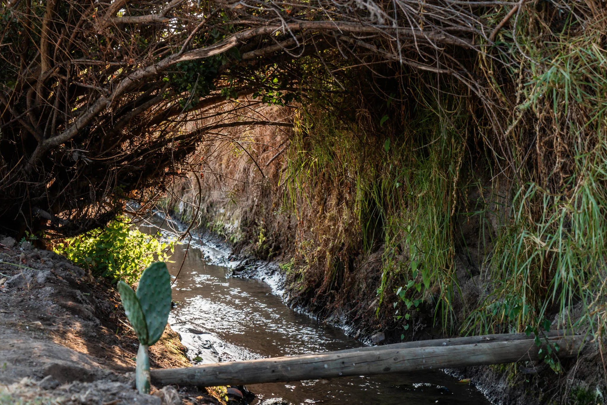
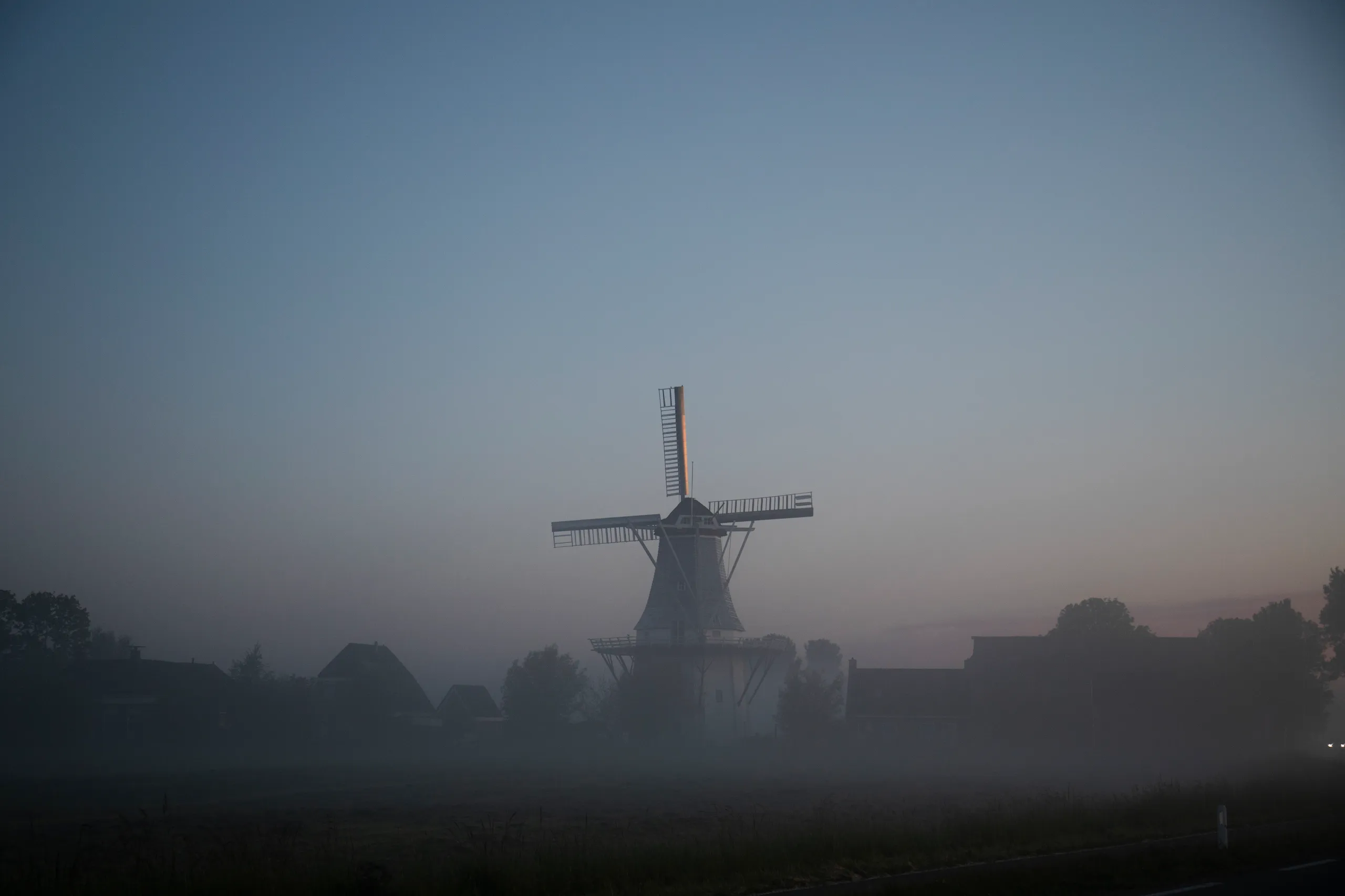
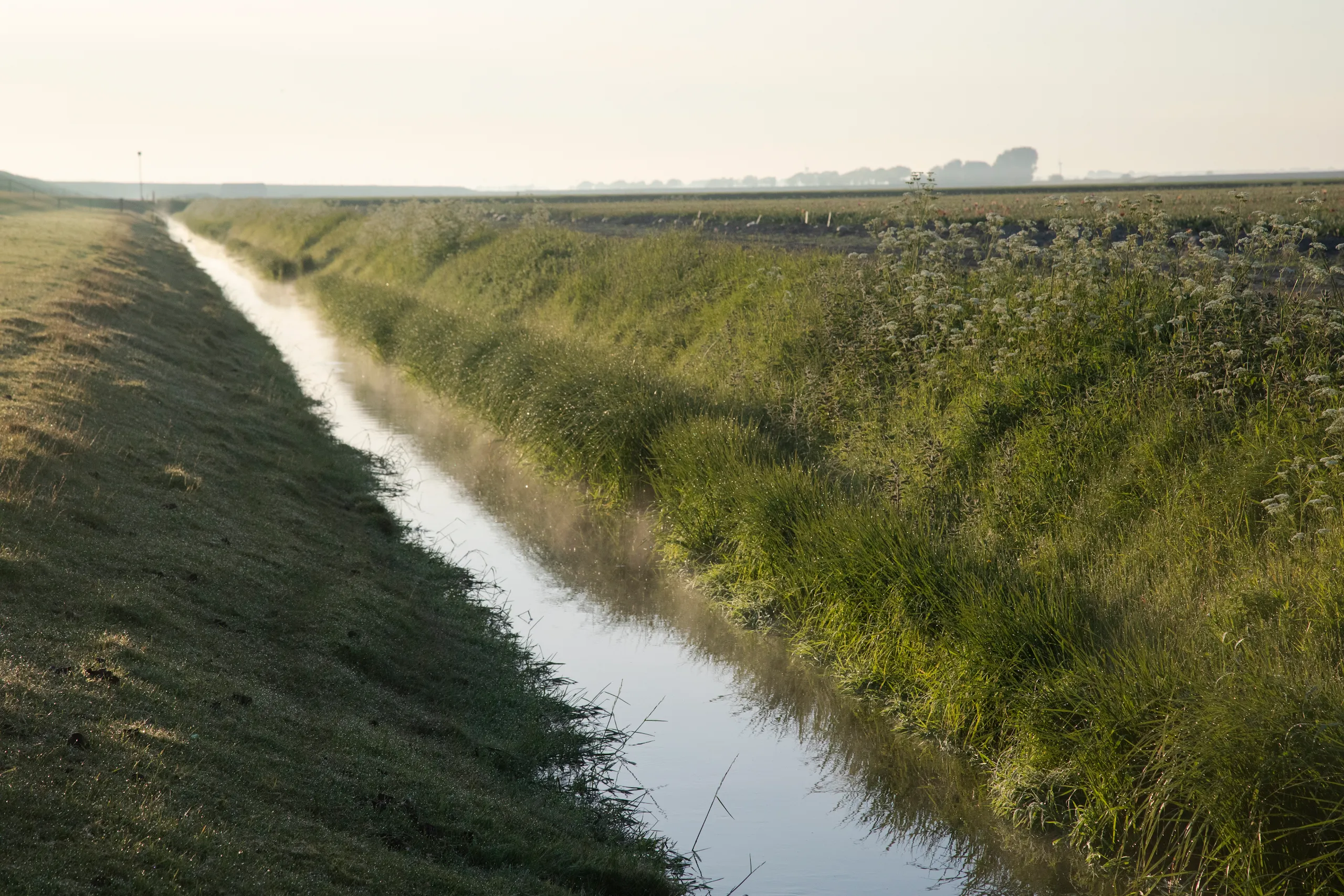
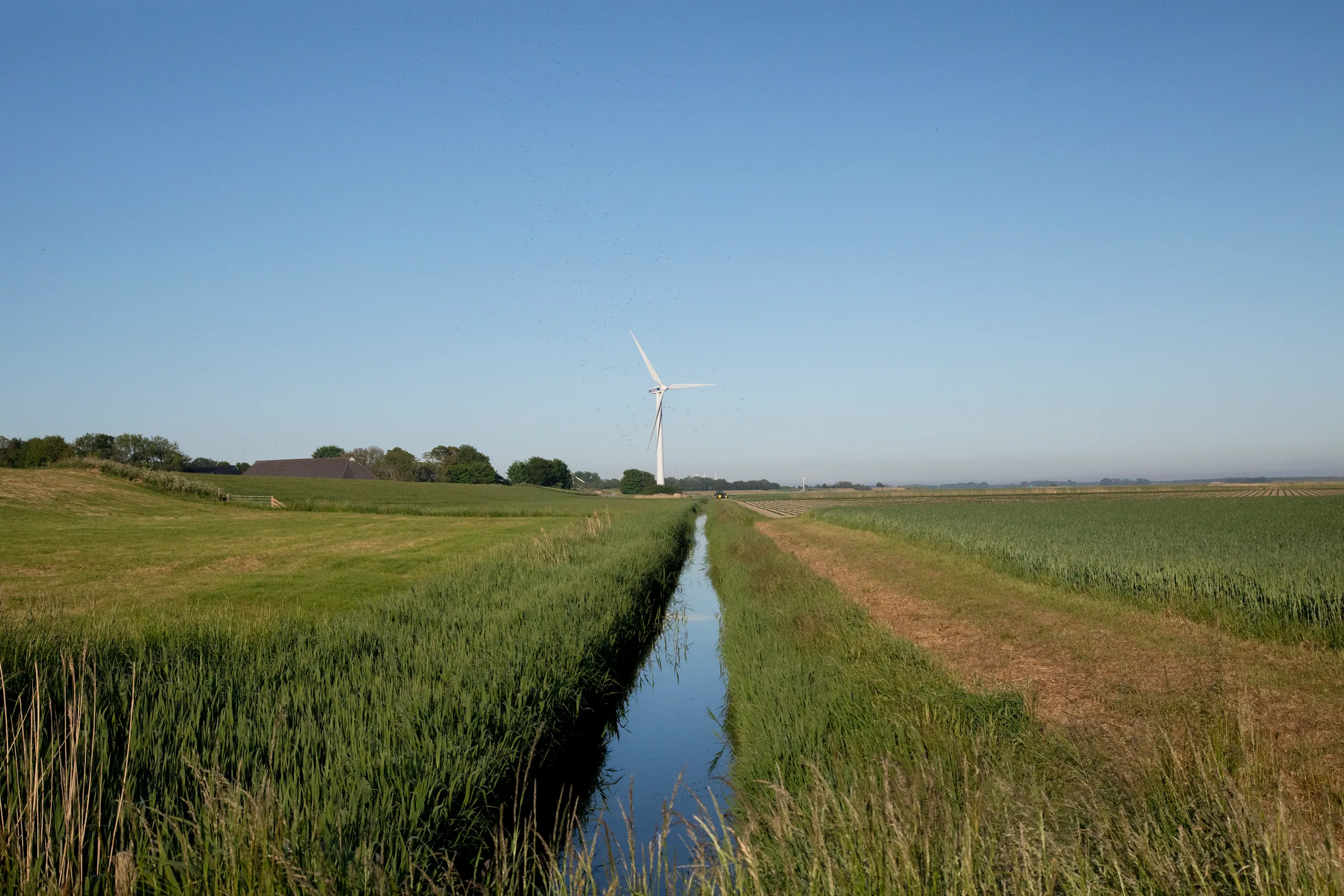
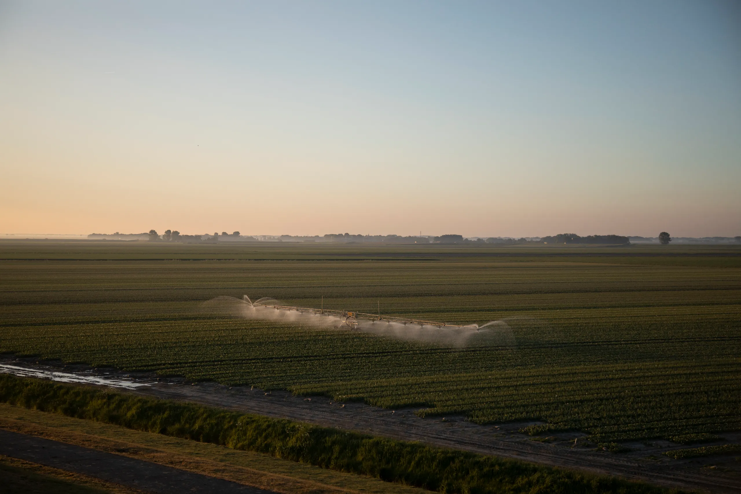
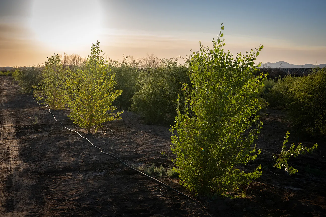
{ "location": "米德湖水资源保护项目", "latitude": 33.934231, "longitude": -114.52563, "inDevelopment": false, "continentFeatured": false, "topicsFeatured":[], "eyebrow": "", "shortDescription": "我们资助了与科罗拉多河印第安部落签订的一项水权租赁协议,该协议规定在 2020 至 2022 年期间,每年在米德湖保留 50,000 英亩英尺的水,以帮助稳定水位。", "featuredImage": {}, "detailPage": "https://www.gstatic.com/marketing-cms/85/96/8d03b5cd462ea209d060124e0d5e/colorado-indian-tribes-one-pager-march-10-2023.pdf", "linkText": "查看详情", "continent": "Colorado River Watershed ", "topics": ["Water Supply Reliability"], "calloutBlocks":[]},{ "location": "南卡罗来纳州查尔斯顿湿地水文连通恢复项目", "latitude": 32.830558, "longitude": -80.053462, "inDevelopment": false, "continentFeatured": false, "topicsFeatured":[], "eyebrow": "", "shortDescription": "大自然保护协会让查奇溪流域约 20 英亩的洪泛区湿地重新实现了水文连通,此举不仅恢复了生态系统,还为查尔斯顿市探索出更顺应自然的防洪之道。", "featuredImage": {}, "detailPage": "https://www.gstatic.com/marketing-cms/57/fa/0881bc7d4f2f88dc5d3773205582/church-creek-restoration-project.pdf", "linkText": "查看详情", "continent": "Church Creek Watershed ", "topics": ["Aquatic Habitat Restoration"], "calloutBlocks":[]},{ "location": "南卡罗来纳州计划烧除项目,旨在恢复长叶松林", "latitude": 33.077812, "longitude": -79.774901, "inDevelopment": false, "continentFeatured": false, "topicsFeatured":[], "eyebrow": "", "shortDescription": "大自然保护协会在弗朗西斯马里恩国家森林修复并管护了超过 4 万英亩的长叶松林,有效遏制了高耗水树种的侵入。这也有助于森林抵御野火和水资源压力,从而提升森林的健康状况。", "featuredImage": {}, "detailPage": "https://www.gstatic.com/marketing-cms/b6/bf/d8eef82747bea4727974d7394cde/longleaf-pine-restoration-in-south-carolina.pdf", "linkText": "查看详情", "continent": "Cooper River Watershed", "topics": ["Land Conservation and Restoration"], "calloutBlocks":[]},{ "location": "南卡罗来纳州长叶松林保护地役权项目", "latitude": 33.077812, "longitude": -79.754901, "inDevelopment": false, "continentFeatured": false, "topicsFeatured":[], "eyebrow": "", "shortDescription": "大自然保护协会携手土地信托合作伙伴,战略性收购了 500 多英亩未开发的自然生态地,以保护弗朗西斯马里恩国家森林的生态系统并增强其生态韧性。", "featuredImage": {}, "detailPage": "https://www.gstatic.com/gumdrop/sustainability/2025-google-water-stewardship-project-portfolio.pdf#page=25", "linkText": "查看详情", "continent": "Cooper River Watershed", "topics": ["Land Conservation and Restoration"], "calloutBlocks":[]},{ "location": "亚利桑那州西部地区灌溉渠衬砌项目", "latitude": 33.93333, "longitude": -114.433333, "inDevelopment": false, "continentFeatured": false, "topicsFeatured":[], "eyebrow": "", "shortDescription": "科罗拉多河印第安部落 (CRIT) 在亚利桑那州西部对一条漏水的灌溉渠进行了衬砌,此举将减少从科罗拉多河向农田输水过程中的水资源损失。", "featuredImage": {}, "detailPage": "https://www.gstatic.com/marketing-cms/85/96/8d03b5cd462ea209d060124e0d5e/colorado-indian-tribes-one-pager-march-10-2023.pdf", "linkText": "查看详情", "continent": "Lower Colorado River Watershed", "topics": ["Water Supply Reliability"], "calloutBlocks":[]},{ "location": "安第斯山脉湿地恢复与提升项目", "latitude": -33.6063062656664, "longitude": -69.9957458225781, "inDevelopment": true, "continentFeatured": false, "topicsFeatured":[], "eyebrow": "", "shortDescription": "智利大自然保护协会正在智利安第斯山脉的迈波河沿岸修复和改善超过 70 公顷的湿地。这些湿地因气候变化、干旱和农业活动而退化。", "featuredImage":{ "path": "37/84/7ee75ca3453c8f5df6480d5d0e47/wetland-restoration-and-enhancement-in-the-andes-mountains.jpg", "width": 2048, "height": 1365 } , "detailPage": "https://www.gstatic.com/marketing-cms/6c/a7/d33e54514fada9fbdead3f443322/maipo-basin-high-andes-wetlands-project.pdf", "linkText": "查看详情", "continent": "Yeso and Maipo Alto Basins", "topics": ["Aquatic Habitat Restoration"], "calloutBlocks":[]},{ "location": "智利迈波河流域的精准灌溉项目", "latitude": -33.225152, "longitude": -70.704189, "inDevelopment": true, "continentFeatured": false, "topicsFeatured":[], "eyebrow": "", "shortDescription": "我们正在智利迈波河流域推广 Kilimo 的精准灌溉技术,助力农户优化用水,应对水资源短缺问题,同时保护水生生态系统。该项目还有助于减少碳排放和提高农业生产力。", "featuredImage":{ "path": "4c/21/404ce718405e98504366ab9f09af/precision-irrigation-in-chiles-maipo-river-basin.png", "width": 1553, "height": 1031 } , "detailPage": "https://youtu.be/rbhkVNWq_uY", "linkText": "观看视频", "continent": "Maipo River Watershed", "topics": ["Water Supply Reliability"], "calloutBlocks":[]},{ "location": "与切萨皮克湾联盟合作打造河岸缓冲区", "latitude": 38.251, "longitude": -78.893, "inDevelopment": false, "continentFeatured": false, "topicsFeatured":[], "eyebrow": "", "shortDescription": "为了保护和恢复切萨皮克湾流域的水质,切萨皮克湾联盟在弗吉尼亚州的五个农场打造了林地型河岸缓冲区。这些农田边缘的缓冲区将过滤农业活动产生的径流,并有助于控制河岸侵蚀。", "featuredImage":{ "path": "18/da/7d12ec4944d78a9456e17bfb0ced/screenshot-2025-09-01-at-7-22-17-pm.png", "width": 2510, "height": 1410 } , "detailPage": "https://www.youtube.com/watch?v=ZRznP3VPzqA", "linkText": "观看视频", "continent": "Potomac River Watershed", "topics": ["Water Quality"], "calloutBlocks":[]},{ "location": "内华达州草坪改节水景观项目", "latitude": 36.0394985402106, "longitude": -114.982272553592, "inDevelopment": true, "continentFeatured": false, "topicsFeatured":[], "eyebrow": "", "shortDescription": "亨德森市为将高耗水草坪改造为节水景观的客户提供返款,以期在受干旱影响的米德湖地区节约用水。", "featuredImage": {}, "detailPage": "https://www.gstatic.com/gumdrop/sustainability/2025-google-water-stewardship-project-portfolio.pdf#page=19", "linkText": "查看详情", "continent": "Lower Colorado River Watershed", "topics": ["Water Supply Reliability"], "calloutBlocks":[]},{ "location": "拉斯维加斯草坪改旱生植物景观项目", "latitude": 36.275279768009, "longitude": -115.138075584653, "inDevelopment": false, "continentFeatured": false, "topicsFeatured":[], "eyebrow": "", "shortDescription": "拉斯维加斯市将杜拉社区中心超过 22,500 平方英尺的草坪改造成了耐旱植物景观,并安装了滴灌系统,以节约用水。", "featuredImage": {}, "detailPage": "https://www.gstatic.com/gumdrop/sustainability/2025-google-water-stewardship-project-portfolio.pdf#page=19", "linkText": "查看详情", "continent": " Lower Colorado River Watershed", "topics": ["Water Supply Reliability"], "calloutBlocks":[]},{ "location": "达尔斯市政供水水源地生态修复项目", "latitude": 45.5141768278005, "longitude": -121.33775128696, "inDevelopment": false, "continentFeatured": false, "topicsFeatured":[], "eyebrow": "", "shortDescription": "俄勒冈州达尔斯市在其市政供水水源地内完成了 150 多英亩的植树造林,让这片曾在 2013 年遭受野火蹂躏的土地重焕生机。此举将有助于改善水质,为城市提供洁净充足的供水。", "featuredImage": {}, "detailPage": "https://www.gstatic.com/gumdrop/sustainability/2025-google-water-stewardship-project-portfolio.pdf#page=22", "linkText": "查看详情", "continent": "The Dalles Municipal Watershed", "topics": ["Land Conservation and Restoration"], "calloutBlocks":[]},{ "location": "俄勒冈州智能灌溉项目", "latitude": 45.6025654489892, "longitude": -121.20217736196, "inDevelopment": true, "continentFeatured": false, "topicsFeatured":[], "eyebrow": "", "shortDescription": "沃斯科县水土保持区在达尔斯安装了更高效的灌溉系统,帮助当地节约水资源。", "featuredImage": {}, "detailPage": "https://www.gstatic.com/gumdrop/sustainability/2025-google-water-stewardship-project-portfolio.pdf#page=22", "linkText": "查看详情", "continent": "Mill Creek Watershed", "topics": ["Water Supply Reliability"], "calloutBlocks":[]},{ "location": "俄勒冈州运河整治项目", "latitude": 45.6122412911787, "longitude": -121.51090528099, "inDevelopment": true, "continentFeatured": false, "topicsFeatured":[], "eyebrow": "", "shortDescription": "东叉灌溉区正与部落、州及联邦机构携手合作,将开放式灌溉渠改造为管道系统。此举将大幅减少水资源流失,从而提升供水韧性,改善生态栖息地,并优化水质。", "featuredImage": {}, "detailPage": "https://www.gstatic.com/gumdrop/sustainability/2025-google-water-stewardship-project-portfolio.pdf#page=23", "linkText": "查看详情", "continent": "East Fork Hood River Watershed", "topics": ["Water Supply Reliability"], "calloutBlocks":[]},{ "location": "减少科罗拉多河下游流域的用水需求", "latitude": 36.1572483626863, "longitude": -114.412734619026, "inDevelopment": true, "continentFeatured": false, "topicsFeatured":[], "eyebrow": "", "shortDescription": "我们正在支持一项计划,旨在通过水权租赁、作物改种协议,以及改善部落土地上的灌溉基础设施和栖息地,减少科罗拉多河下游流域的用水需求。该计划还旨在通过设立循环基金,争取获得美国垦务局的支持。", "featuredImage": {}, "detailPage": "https://www.gstatic.com/gumdrop/sustainability/2025-google-water-stewardship-project-portfolio.pdf#page=15", "linkText": "查看详情", "continent": "Lower Colorado River Basin ", "topics":[], "calloutBlocks":[]},{ "location": "德克萨斯州东部长叶松林恢复项目", "latitude": 30.876165, "longitude": -95.207242, "inDevelopment": true, "continentFeatured": false, "topicsFeatured":[], "eyebrow": "", "shortDescription": "德克萨斯州长叶松保护联盟正在恢复 2,000 英亩的长叶松林。长叶松林在涵养和净化水源方面,比传统的生产性林业更胜一筹。德克萨斯州东部的这一松林恢复项目将增强该地生态系统对干旱、病虫害和野火的抵御能力。", "featuredImage": {}, "detailPage": "https://www.gstatic.com/gumdrop/sustainability/2025-google-water-stewardship-project-portfolio.pdf#page=26", "linkText": "查看详情", "continent": "Trinity River Watershed", "topics": ["Land Conservation and Restoration"], "calloutBlocks":[]},{ "location": "佩恩特罗克河流域河岸稳定项目", "latitude": 34.699668, "longitude": -86.309044, "inDevelopment": true, "continentFeatured": false, "topicsFeatured":[], "eyebrow": "", "shortDescription": "大自然保护协会 (TNC) 对佩恩特罗克河流域的三处河岸地段进行了生态修复和稳定化处理,使该河能够重新与历史上的洪泛区实现水文连通。TNC 还正在杰克逊县收购约 198 英亩土地的保护地役权,以保护生物多样性。", "featuredImage": {}, "detailPage": "https://www.gstatic.com/gumdrop/sustainability/2025-google-water-stewardship-project-portfolio.pdf#page=4", "linkText": "查看详情", "continent": "Paint Rock River Watershed", "topics": ["Aquatic Habitat Restoration"], "calloutBlocks":[]},{ "location": "安第斯山脉湿地和森林保护项目", "latitude": -34.0812311134161, "longitude": -70.091662132512, "inDevelopment": true, "continentFeatured": false, "topicsFeatured":[], "eyebrow": "", "shortDescription": "在安第斯山脉,大自然保护协会正在通过重新引入本土植被来恢复高海拔湿地,让彼此孤立的森林区域重新连通。该项目旨在改善迈波河流域的水文状况、当地栖息地环境和未来的水资源安全。", "featuredImage": {}, "detailPage": "https://www.gstatic.com/gumdrop/sustainability/2025-google-water-stewardship-project-portfolio.pdf#page=30", "linkText": "查看详情", "continent": "Yeso and Maipo Alto Basin", "topics": ["Aquatic Habitat Restoration"], "calloutBlocks":[]},{ "location": "德克萨斯州环境用水交易项目", "latitude": 32.4432256717943, "longitude": -97.0624873532738, "inDevelopment": true, "continentFeatured": false, "topicsFeatured":[], "eyebrow": "", "shortDescription": "我们正在为特里尼蒂河上游和科罗拉多河上游流域的水权租赁和再生农业实践提供资金支持。这些举措将恢复地表水、增加河流流量,并改善德克萨斯州本土物种的水生栖息地。", "featuredImage": {}, "detailPage": "https://www.gstatic.com/gumdrop/sustainability/2025-google-water-stewardship-project-portfolio.pdf#page=27", "linkText": "查看详情", "continent": "Upper Colorado and Upper Trinity River Basins", "topics": ["Aquatic Habitat Restoration"], "calloutBlocks":[]},{ "location": "俄勒冈州含水层储存和回收项目", "latitude": 45.5426043663629, "longitude": -121.315175222861, "inDevelopment": true, "continentFeatured": false, "topicsFeatured":[], "eyebrow": "", "shortDescription": "我们与达尔斯市合作建设了一个含水层储存和回收项目,以便在雨季将多余的水泵入现有含水层。这些水将用于应对干旱或用水高峰期,为城市提供更可靠的供水保障。", "featuredImage": {}, "detailPage": "https://www.gstatic.com/gumdrop/sustainability/2023-data-center-water-profile-the-dalles.pdf", "linkText": "查看详情", "continent": "Dalles Pool Aquifer Watershed ", "topics": ["Water Supply Reliability"], "calloutBlocks":[]},{ "location": "日本濒危鹳鸟湿地栖息地恢复项目", "latitude": 36.21697, "longitude": 139.674189, "inDevelopment": true, "continentFeatured": false, "topicsFeatured":[], "eyebrow": "", "shortDescription": "Ramsar Network Japan 正致力于保护东京以北的湿地,为当地的动植物守护其赖以生存的栖息地。该项目旨在维护该地区丰富的生物多样性,包括濒危的东方白鹳,并提升公众对该地区珍贵湿地栖息地的保护意识。", "featuredImage":{ "path": "8f/ea/129794a946b096c9808bab985070/wetland-habitat-restoration-for-endangered-stork-in-japan.png", "width": 1496, "height": 995 } , "detailPage": "https://www.youtube.com/watch?v=t-VSxoBQlRA", "linkText": "观看视频", "continent": "Tone River Watershed", "topics": ["Aquatic Habitat Restoration"], "calloutBlocks":[]},{ "location": "新加坡生态池塘打造项目", "latitude": 1.345573, "longitude": 103.745724, "inDevelopment": true, "continentFeatured": false, "topicsFeatured":[], "eyebrow": "", "shortDescription": "新加坡武吉巴督第 10 居民网格区正在公共住宅区建造一个生态池塘,该池塘作为生物滞留池,可为绿化景观浇灌和住宅区清洁提供用水,同时提高该地的防洪能力和水质。", "featuredImage": {}, "detailPage": "https://www.gstatic.com/gumdrop/sustainability/2025-google-water-stewardship-project-portfolio.pdf#page=41", "linkText": "查看详情", "continent": "Bukit Batok Canal", "topics": ["Aquatic Habitat Restoration"], "calloutBlocks":[]},{ "location": "荷兰雨水收集系统升级项目", "latitude": 53.133165, "longitude": 4.829619, "inDevelopment": true, "continentFeatured": false, "topicsFeatured":[], "eyebrow": "", "shortDescription": "Acacia Water 正在泰瑟尔岛扩建含水层储存和回收系统,以便在秋季收集更多丰沛雨水,用于应对干旱夏季的用水需求。随着气候变化日益加剧,该模式有望成为保障荷兰农业可持续发展的关键解决方案。", "featuredImage":{ "path": "94/d1/467610e54df899d5fec7e7eb7ea5/rainwater-harvesting-improvements-in-the-netherlands.png", "width": 1540, "height": 1028 } , "detailPage": "https://www.gstatic.com/gumdrop/sustainability/2025-google-water-stewardship-project-portfolio.pdf#page=35", "linkText": "查看详情", "continent": "West Frisian Islands Watershed", "topics": ["Water Supply Reliability"], "calloutBlocks":[]},{ "location": "荷兰智能水资源管理项目", "latitude": 53.416416, "longitude": 6.397195, "inDevelopment": true, "continentFeatured": false, "topicsFeatured":[], "eyebrow": "", "shortDescription": "Acacia Water 与 Fixeau 合作,使用智能技术跟踪格罗宁根低于海平面的农田中的盐含量,确保盐含量不会上升到影响作物生产的水平。若试点成功,该模式将彻底改变荷兰全国的水资源管理方式。", "featuredImage":{ "path": "98/ab/d12f548748fd96740b3970b94c28/polder-management-using-smart-water-technology-in-the-netherlands.png", "width": 1552, "height": 1031 } , "detailPage": "https://www.gstatic.com/gumdrop/sustainability/2025-google-water-stewardship-project-portfolio.pdf#page=35", "linkText": "查看详情", "continent": "Eems & Rhine River Watersheds", "topics": ["Water Supply Reliability"], "calloutBlocks":[]},{ "location": "荷兰双堤坝工程建设项目", "latitude": 53.394877, "longitude": 6.882399, "inDevelopment": true, "continentFeatured": false, "topicsFeatured":[], "eyebrow": "", "shortDescription": "我们正在为格罗宁根省与 Noorderzijlvest 区域水务局主导的埃姆斯河-多拉特湾河口双堤建设项目提供支持。Google 正资助建设一座水控设施,该设施将提高防洪安全性,并打造集水产养殖、盐碱地农业与鸟类栖息地于一体的过渡性沼泽生态区。", "featuredImage":{ "path": "db/4b/e4c132aa4c3f9507fbb570a247f4/double-dike-construction-in-the-netherlands.png", "width": 1633, "height": 1086 } , "detailPage": "https://www.gstatic.com/gumdrop/sustainability/2025-google-water-stewardship-project-portfolio.pdf#page=35", "linkText": "查看详情", "continent": "Princess Margriet Canal Watershed", "topics": ["Aquatic Habitat Restoration"], "calloutBlocks":[]},{ "location": "比利时湿地恢复项目", "latitude": 51.0462891152104, "longitude": 4.07679027129802, "inDevelopment": true, "continentFeatured": false, "topicsFeatured":[], "eyebrow": "", "shortDescription": "Natuurpunt 和当地利益相关方正在携手恢复比利时 Sint-Onolfspolder 自然保护区的湿地生态,提供诸如涵养水源、降低洪涝风险和增强抗旱能力等多重效益。", "featuredImage":{ "path": "a9/ee/ab8f8fae45709637a6d38a1c9e2d/wetland-restoration-within-polder-in-belgium.png", "width": 1558, "height": 1027 } , "detailPage": "https://www.gstatic.com/gumdrop/sustainability/2025-google-water-stewardship-project-portfolio.pdf#page=32", "linkText": "查看详情", "continent": "Schelde Basin", "topics": ["Aquatic Habitat Restoration"], "calloutBlocks":[]},{ "location": "与奎查恩人部落合作开展的节水灌溉项目", "latitude": 32.7736095, "longitude": -114.5323943, "inDevelopment": true, "continentFeatured": false, "topicsFeatured":[], "eyebrow": "", "shortDescription": "我们正在资助安装全新的太阳能灌溉泵,助力奎查恩人部落在每年旱季获得更可靠的水源,并实施土地休耕,以兼顾生态保护与部落的其他需求。", "featuredImage": {}, "detailPage": "https://www.gstatic.com/gumdrop/sustainability/2025-google-water-stewardship-project-portfolio.pdf#page=6", "linkText": "查看详情", "continent": " Lower Colorado River Basin", "topics": ["Water Supply Reliability"], "calloutBlocks":[]},{ "location": "AI 助力智利迈波河流域实现节水农业", "latitude": -33.72836264, "longitude": -71.30131944, "inDevelopment": true, "continentFeatured": false, "topicsFeatured":[], "eyebrow": "", "shortDescription": "该项目是我们与 Kilimo 合作的进一步深化,目标是在智利迈波河流域的农民中推广使用精准灌溉技术。Kilimo 的技术使用“大数据”解决方案,结合了 AI 技术、卫星数据和实地测量结果,可提供实时灌溉信息。", "featuredImage": {}, "detailPage": "https://www.gstatic.com/gumdrop/sustainability/2025-google-water-stewardship-project-portfolio.pdf#page=30", "linkText": "查看详情", "continent": "Maipo River Watershed", "topics": ["Water Supply Reliability"], "calloutBlocks":[]},{ "location": "科罗拉多河印第安部落的智能灌溉项目", "latitude": 33.954231, "longitude": -114.52563, "inDevelopment": true, "continentFeatured": false, "topicsFeatured":[], "eyebrow": "", "shortDescription": "科罗拉多河印第安部落正在用新的滴灌系统取代现有的漫灌基础设施,新系统采用 N-Drip 的实时智能技术,能够在干旱的科罗拉多河地区节约用水。", "featuredImage": {}, "detailPage": "https://www.gstatic.com/gumdrop/sustainability/2025-google-water-stewardship-project-portfolio.pdf#page=5", "linkText": "查看详情", "continent": "Colorado River Watershed", "topics": ["Water Supply Reliability"], "calloutBlocks":[]},{ "location": "比利时自然保护区恢复项目", "latitude": 50.4585702970151, "longitude": 3.76969791763541, "inDevelopment": false, "continentFeatured": false, "topicsFeatured":[], "eyebrow": "", "shortDescription": "我们为 Natagora 提供了资金,助其扩建 Pres de Grand Rieu 自然保护区。该项目的湿地环境提升工程将有助于提高生物多样性、改善水质并完善公共设施。", "featuredImage": {}, "detailPage": "https://www.gstatic.com/gumdrop/sustainability/2025-google-water-stewardship-project-portfolio.pdf#page=33", "linkText": "查看详情", "continent": "Haine Watershed", "topics": ["Aquatic Habitat Restoration"], "calloutBlocks":[]},{ "location": "技术试点项目,让拉斯维加斯的井水更安全", "latitude": 36.1745101868079, "longitude": -115.14766208783, "inDevelopment": true, "continentFeatured": false, "topicsFeatured":[], "eyebrow": "", "shortDescription": "WaterStart 正在与内华达州南部水务局合作开展试点计划,使用 Aquisense 的 LED 紫外线技术直接在井口对地下水进行消毒处理。这项技术有望推广至整个内华达州乃至全美国,为缺水地区提升储水能力并强化用水安全。", "featuredImage": {}, "detailPage": "https://www.gstatic.com/gumdrop/sustainability/2025-google-water-stewardship-project-portfolio.pdf#page=20", "linkText": "查看详情", "continent": "Las Vegas Valley Watershed", "topics": ["Water Access, Sanitation, and Hygiene"], "calloutBlocks":[]},{ "location": "德克萨斯州达拉斯-沃思堡地下水补给项目", "latitude": 32.8194751723352, "longitude": -97.1322972906188, "inDevelopment": true, "continentFeatured": false, "topicsFeatured":[], "eyebrow": "", "shortDescription": "我们正在支持塔兰特地区水务局开展含水层储存和回收项目,以增加地下水补给和储存量,帮助该地区适应气候变化,并展示该技术的推广潜力。", "featuredImage": {}, "detailPage": "https://www.gstatic.com/gumdrop/sustainability/2025-google-water-stewardship-project-portfolio.pdf#page=27", "linkText": "查看详情", "continent": "Lower Trinity, Cedar, Chambers, and Richland Watersheds", "topics": ["Water Supply Reliability"], "calloutBlocks":[]},{ "location": "切罗基族农村供水系统漏水维修项目", "latitude": 36.6760003026263, "longitude": -94.8105760194886, "inDevelopment": false, "continentFeatured": false, "topicsFeatured":[], "eyebrow": "", "shortDescription": "我们协助出资更换了一段 4 英里长的漏水管道,改善了切罗基族农村社区的用水条件,降低了当地居民对地下水的依赖。", "featuredImage": {}, "detailPage": "https://www.gstatic.com/gumdrop/sustainability/2025-google-water-stewardship-project-portfolio.pdf#page=21", "linkText": "查看详情", "continent": "Neosho River Watershed", "topics": ["Water Supply Reliability"], "calloutBlocks":[]},{ "location": "盐河和佛得河流域森林疏伐项目", "latitude": 34.348925, "longitude": -111.135472, "inDevelopment": false, "continentFeatured": false, "topicsFeatured":[], "eyebrow": "", "shortDescription": "我们为盐河项目的举措提供了支持,帮助将 1,000 多英亩受野火严重破坏的土地恢复到更接近历史原貌的状态。此举有望降低野火风险,避免水质恶化,并增加盐河和佛得河流域部分河段的水流量。", "featuredImage": {}, "detailPage": "https://www.gstatic.com/gumdrop/sustainability/2025-google-water-stewardship-project-portfolio.pdf#page=6", "linkText": "查看详情", "continent": "Salt & Verde River Watersheds", "topics": ["Land Conservation and Restoration"], "calloutBlocks":[]},{ "location": "俄勒冈州东部水坝修复项目,旨在恢复当地鲑鱼种群", "latitude": 45.3354765657479, "longitude": -117.222462060791, "inDevelopment": true, "continentFeatured": false, "topicsFeatured":[], "eyebrow": "", "shortDescription": "我们正在支持一项由沃洛瓦湖灌溉区、当地部落和环保组织共同发起的项目,旨在修复沃洛瓦湖大坝,让红鲑鱼重回故里,并增加蓄水量,以满足灌溉和下游防洪的需求。", "featuredImage": {}, "detailPage": "https://www.gstatic.com/gumdrop/sustainability/2025-google-water-stewardship-project-portfolio.pdf#page=23", "linkText": "查看详情", "continent": "Columbia River Watershed", "topics": ["Aquatic Habitat Restoration"], "calloutBlocks":[]},{ "location": "科科帕印第安保留地科罗拉多河洪泛区恢复项目", "latitude": 32.5699981954716, "longitude": -114.801574358712, "inDevelopment": true, "continentFeatured": false, "topicsFeatured":[], "eyebrow": "", "shortDescription": "科科帕印第安部落和美国奥杜邦学会正共同建设相关基础设施,向 390 英亩已进行生态恢复的河岸栖息地输送水资源,以提升当地生物多样性,帮助维护和延续科科帕部落的生活方式,并提高该部落对气候变化的适应能力。", "featuredImage": {}, "detailPage": "https://www.gstatic.com/gumdrop/sustainability/2025-google-water-stewardship-project-portfolio.pdf#page=6", "linkText": "查看详情", "continent": "Lower Colorado River Watershed", "topics": ["Aquatic Habitat Restoration"], "calloutBlocks":[]},{ "location": "德克萨斯州岩溪长叶松林恢复项目", "latitude": 30.8418177845685, "longitude": -95.06428830245, "inDevelopment": true, "continentFeatured": false, "topicsFeatured":[], "eyebrow": "", "shortDescription": "我们正在为德克萨斯州长叶松保护联盟提供支持,助其在该州再恢复 1,000 英亩的长叶松林。长叶松生态系统能有效促进地下水入渗并改善水质,从而增强区域气候韧性,保障水资源的供应。", "featuredImage": {}, "detailPage": "https://www.gstatic.com/gumdrop/sustainability/2025-google-water-stewardship-project-portfolio.pdf#page=26", "linkText": "查看详情", "continent": "Trinity Watershed", "topics": ["Land Conservation and Restoration"], "calloutBlocks":[]},{ "location": "南北普拉特河自然资源区灌溉效率提升项目", "latitude": 41.1755861246316, "longitude": -101.43489352203, "inDevelopment": false, "continentFeatured": false, "topicsFeatured":[], "eyebrow": "", "shortDescription": "我们正在南北普拉特河自然资源区的农场推广 Arable 的精准灌溉技术。农民将从智能田间传感器接收数据,并获得作物所需水量的建议,从而更高效地利用水资源。", "featuredImage": {}, "detailPage": "https://www.gstatic.com/gumdrop/sustainability/2025-google-water-stewardship-project-portfolio.pdf#page=18", "linkText": "查看详情", "continent": "North Platte River Basin ", "topics": ["Water Supply Reliability"], "calloutBlocks":[]},{ "location": "普拉特河流域灌溉系统改造项目", "latitude": 41.3368278965339, "longitude": -98.9096595692582, "inDevelopment": true, "continentFeatured": false, "topicsFeatured":[], "eyebrow": "", "shortDescription": "我们正在普拉特河流域的 1,000 英亩农田上推广安装 N-Drip 的精准滴灌系统,以取代传统的漫灌系统。这将提高农民的用水效率,并减少用水需求。", "featuredImage": {}, "detailPage": "https://www.gstatic.com/gumdrop/sustainability/2025-google-water-stewardship-project-portfolio.pdf#page=18", "linkText": "查看详情", "continent": "Platte River Basin", "topics": ["Water Supply Reliability"], "calloutBlocks":[]},{ "location": "普拉特河流域地下水补给项目", "latitude": 41.8569849204747, "longitude": -99.2068987571765, "inDevelopment": true, "continentFeatured": false, "topicsFeatured":[], "eyebrow": "", "shortDescription": "该项目将通过延长灌溉渠的运行时间,让更多水渗入含水层,从而增加普拉特河流域的地下水补给。在干旱时期,这些之前补充的地下水可以供整个流域使用,或者自然回流至水文连通的溪流中。", "featuredImage": {}, "detailPage": "https://www.gstatic.com/gumdrop/sustainability/2025-google-water-stewardship-project-portfolio.pdf#page=19", "linkText": "查看详情", "continent": "Platte River Basin", "topics": ["Water Supply Reliability"], "calloutBlocks":[]},{ "location": "爱荷华州西南部地区坡面稳定结构工程项目", "latitude": 41.0655975467356, "longitude": -94.8822576993618, "inDevelopment": true, "continentFeatured": false, "topicsFeatured":[], "eyebrow": "", "shortDescription": "Great Outdoors Foundation 正在爱荷华州西部近 50 个地点修建坡面稳定结构,以减少土壤侵蚀、改善下游水质,并提供洪水蓄水功能。", "featuredImage": {}, "detailPage": "https://www.gstatic.com/gumdrop/sustainability/2025-google-water-stewardship-project-portfolio.pdf#page=17", "linkText": "查看详情", "continent": "Missouri River Basin", "topics": ["Water Quality"], "calloutBlocks":[]},{ "location": "迈波河流域水库修复项目,旨在提高灌溉效率", "latitude": -33.44008, "longitude": -71.09069, "inDevelopment": false, "continentFeatured": false, "topicsFeatured":[], "eyebrow": "", "shortDescription": "Agua Segura 修复了库拉卡维的一座主要水库,不仅恢复了其损失的蓄水能力,还增加了可供灌溉的水资源供应。该项目将在干旱期间维持农业生产力,并增加农业用水供应。", "featuredImage":{ "path": "8f/06/f0eb73eb4ff181ccd5d669001fc5/reservoir-repair-to-improve-irrigation-efficiencies.png", "width": 1554, "height": 1031 } , "detailPage": "https://www.youtube.com/watch?v=ia5hQb1NP5Y", "linkText": "观看视频", "continent": "Maipo Basin", "topics": ["Water Supply Reliability"], "calloutBlocks":[]},{ "location": "迈波河流域渠道衬砌项目,旨在提高灌溉效率", "latitude": -33.4400757690199, "longitude": -71.0210962155715, "inDevelopment": true, "continentFeatured": false, "topicsFeatured":[], "eyebrow": "", "shortDescription": "Agua Segura 正在修复库拉卡维的一条灌溉渠,以便为当地提供更多灌溉用水,同时减少沉积和侵蚀,从而改善灌溉渠及其下游的水质。", "featuredImage": {}, "detailPage": "https://www.gstatic.com/gumdrop/sustainability/2025-google-water-stewardship-project-portfolio.pdf#page=31", "linkText": "查看详情", "continent": "Maipo Basin", "topics": ["Water Supply Reliability"], "calloutBlocks":[]},{ "location": "弗朗西斯马里恩国家森林长叶松林恢复项目", "latitude": 33.087812, "longitude": -79.764901, "inDevelopment": true, "continentFeatured": false, "topicsFeatured":[], "eyebrow": "", "shortDescription": "在南卡罗来纳州的弗朗西斯马里恩国家森林,大自然保护协会正在采取措施,在原有基础上额外恢复 9 万英亩的长叶松林。通过计划性烧除,该项目将改善这一生态系统的健康状况,不仅能提升栖息地价值,还能有效抵御破坏性野火的侵袭。", "featuredImage": {}, "detailPage": "https://www.gstatic.com/gumdrop/sustainability/2025-google-water-stewardship-project-portfolio.pdf#page=24", "linkText": "查看详情", "continent": "Cooper River Watershed", "topics": ["Land Conservation and Restoration"], "calloutBlocks":[]},{ "location": "塔霍国家森林可燃物管理项目", "latitude": 39.50627, "longitude": -120.080694, "inDevelopment": true, "continentFeatured": false, "topicsFeatured":[], "eyebrow": "", "shortDescription": "美国国家森林基金会正在塔霍国家森林近 2,500 英亩的土地上开展森林疏伐和管理工作,以降低灾难性野火的风险,并帮助保护重要的社区供水水源地。", "featuredImage": {}, "detailPage": "https://www.gstatic.com/gumdrop/sustainability/2025-google-water-stewardship-project-portfolio.pdf#page=14", "linkText": "查看详情", "continent": "Truckee River Watershed ", "topics": ["Land Conservation and Restoration"], "calloutBlocks":[]},{ "location": "美国红河流域农业最佳管理实践项目", "latitude": 36.6368663484976, "longitude": -86.7952797771967, "inDevelopment": true, "continentFeatured": false, "topicsFeatured":[], "eyebrow": "", "shortDescription": "我们与 Cumberland River Compact 合作,为田纳西州和肯塔基州红河流域的农场提供资金,助其实施农业最佳管理实践。该项目旨在减少农业污染并改善土壤健康状况。", "featuredImage": {}, "detailPage": "https://www.gstatic.com/gumdrop/sustainability/2025-google-water-stewardship-project-portfolio.pdf#page=25", "linkText": "查看详情", "continent": "Red River Watershed ", "topics": ["Water Quality"], "calloutBlocks":[]},{ "location": "田纳西州废弃矿区植树造林项目", "latitude": 36.506318, "longitude": -83.980266, "inDevelopment": true, "continentFeatured": false, "topicsFeatured":[], "eyebrow": "", "shortDescription": "Cumberland River Compact 正在田纳西州对约 50 英亩的废弃矿区进行植树造林,这将改善水源渗透功能,并为溪流的自然生态恢复创造有利条件。", "featuredImage":{ "path": "2d/54/ce3e75bb4bc79ef40e208aa946c5/reforestation-of-previously-mined-lands-in-tennessee.png", "width": 1555, "height": 1034 } , "detailPage": "https://www.gstatic.com/gumdrop/sustainability/2025-google-water-stewardship-project-portfolio.pdf#page=25", "linkText": "查看详情", "continent": "Cumberland River Watershed ", "topics": ["Land Conservation and Restoration"], "calloutBlocks":[]},{ "location": "新加坡植物园水资源恢复项目", "latitude": 1.31405958330276, "longitude": 103.81588677791, "inDevelopment": true, "continentFeatured": false, "topicsFeatured":[], "eyebrow": "", "shortDescription": "该项目将通过为湖泊清淤疏浚和新建蓄水池,改善新加坡植物园的水质,并增加可持续灌溉用水的供应。该湖泊恢复项目也将助力维护新加坡丰富的生物多样性。", "featuredImage":{ "path": "fc/ea/be7b2434437897dac30d3f6acaf8/singapore-botanic-gardens-water-restoration.png", "width": 796, "height": 533 } , "detailPage": "https://www.gstatic.com/gumdrop/sustainability/2025-google-water-stewardship-project-portfolio.pdf#page=42", "linkText": "查看详情", "continent": "", "topics": ["Water Supply Reliability"], "calloutBlocks":[]},{ "location": "俄亥俄州斯利姆溪湿地恢复项目", "latitude": 39.9521750919385, "longitude": -82.5858350678572, "inDevelopment": true, "continentFeatured": false, "topicsFeatured":[], "eyebrow": "", "shortDescription": "大自然保护协会正在修复俄亥俄州中部的斯利姆溪湿地,使其能够自然过滤和储存来自 700 多英亩土地的径流,这些土地中大部分是农田。该合作项目有望减少巴克艾湖的营养物污染和有害藻类水华,从而保护水质。", "featuredImage": {}, "detailPage": "https://www.gstatic.com/gumdrop/sustainability/2025-google-water-stewardship-project-portfolio.pdf#page=21", "linkText": "查看详情", "continent": "Licking River Watershed", "topics": ["Water Quality"], "calloutBlocks":[]},{ "location": "科罗拉多河下游水域生态韧性提升项目", "latitude": 36.1289174523043, "longitude": -114.466362342771, "inDevelopment": true, "continentFeatured": false, "topicsFeatured":[], "eyebrow": "", "shortDescription": "Google 正积极支持一系列综合举措,包括水权租赁、土地用途转换和替代性经济发展,旨在节约科罗拉多河下游流域的水资源,增加米德湖的蓄水量,并最终将水输送到科罗拉多河三角洲的生态修复区。", "featuredImage": {}, "detailPage": "https://www.gstatic.com/gumdrop/sustainability/2025-google-water-stewardship-project-portfolio.pdf#page=5", "linkText": "查看详情", "continent": "Lower Colorado River Basin", "topics": ["Water Supply Reliability"], "calloutBlocks":[]},{ "location": "台湾灌溉系统改造试点项目", "latitude": 24.13533, "longitude": 120.42318, "inDevelopment": true, "continentFeatured": false, "topicsFeatured":[], "eyebrow": "", "shortDescription": "我们正在资助一个试点项目,通过在台湾的稻田安装 N-Drip 的精准滴灌系统,取代现有的漫灌系统,从而帮助减少农业用水需求。该试点项目将衡量并计算该系统的节水量和甲烷排放量,同时验证系统性能。", "featuredImage": {}, "detailPage": "https://www.gstatic.com/gumdrop/sustainability/2025-google-water-stewardship-project-portfolio.pdf#page=42", "linkText": "查看详情", "continent": "Da’an/Dajia River Watershed", "topics": ["Water Supply Reliability"], "calloutBlocks":[]},{ "location": "爱荷华州布伦顿湿地保护项目", "latitude": 41.7250154352081, "longitude": -93.7998693402934, "inDevelopment": true, "continentFeatured": false, "topicsFeatured":[], "eyebrow": "", "shortDescription": "我们正在为 Great Outdoors Foundation 提供支持,助其收购并保护爱荷华州中部最大的天然湿地之一。该湿地将由波尔克县自然保护局拥有并负责保护,是当地生物的重要栖息地,并具有改善水质、防洪和地下水补给等功能。", "featuredImage": {}, "detailPage": "https://www.gstatic.com/gumdrop/sustainability/2025-google-water-stewardship-project-portfolio.pdf#page=17", "linkText": "查看详情", "continent": "Mississippi River Watershed ", "topics": ["Aquatic Habitat Restoration"], "calloutBlocks":[]},{ "location": "俄克拉荷马州中北部地区再生农业项目", "latitude": 36.7340216595604, "longitude": -97.9829141929831, "inDevelopment": true, "continentFeatured": false, "topicsFeatured":[], "eyebrow": "", "shortDescription": "在俄克拉荷马州中北部,Indigo Ag 正在协助当地农民在约 4,000 英亩的农田上开展再生农业实践项目。这些实践旨在恢复并保护水资源、土壤健康和生物多样性。", "featuredImage": {}, "detailPage": "https://www.gstatic.com/gumdrop/sustainability/2025-google-water-stewardship-project-portfolio.pdf#page=21", "linkText": "查看详情", "continent": "Arkansas River Watershed", "topics": ["Water Supply Reliability"], "calloutBlocks":[]},{ "location": "比利时 LIFE Atlantic Valleys 项目评估", "latitude": 50.4727856664545, "longitude": 3.86765204110897, "inDevelopment": true, "continentFeatured": false, "topicsFeatured":[], "eyebrow": "", "shortDescription": "Google 正在帮助非政府组织 Natagora 在生态系统层面评估其 LIFE Atlantic Valleys 项目对水体的影响。该项目旨在对比利时埃诺省和布拉班特河谷地带的 230 公顷土地进行生态恢复,以保护栖息地和物种。", "featuredImage": {}, "detailPage": "https://www.gstatic.com/gumdrop/sustainability/2025-google-water-stewardship-project-portfolio.pdf#page=33", "linkText": "查看详情", "continent": "Escaut River Watershed", "topics": ["Aquatic Habitat Restoration"], "calloutBlocks":[]},{ "location": "俄克拉荷马州狭长地带灌溉效率提升项目", "latitude": 36.7551069995972, "longitude": -100.008679369738, "inDevelopment": true, "continentFeatured": false, "topicsFeatured":[], "eyebrow": "", "shortDescription": "我们正在俄克拉荷马州狭长地带东侧约 27,000 英亩的农场推广 Arable 的精准灌溉技术。农民将从智能田间传感器接收数据,并获得作物所需水量的建议,从而更高效地利用水资源。", "featuredImage": {}, "detailPage": "https://www.gstatic.com/gumdrop/sustainability/2025-google-water-stewardship-project-portfolio.pdf#page=22", "linkText": "查看详情", "continent": "Arkansas River Watershed", "topics": ["Water Supply Reliability"], "calloutBlocks":[]},{ "location": "都柏林绿色雨水管理项目", "latitude": 53.35343, "longitude": -6.291757, "inDevelopment": false, "continentFeatured": false, "topicsFeatured":[], "eyebrow": "", "shortDescription": "我们为都柏林的公共及住宅建筑花箱安装项目提供了支持。这些花箱能有效截留雨水,避免它们通过城市下水道系统溢流到利菲河和都柏林湾。该项目旨在帮助改善利菲河的水质,并降低局部洪水风险。", "featuredImage": {}, "detailPage": "", "linkText": "查看详情", "continent": "Dodder Watershed", "topics":[], "calloutBlocks":[]},{ "location": "瓦特里集水区保护计划", "latitude": 52.98243, "longitude": -6.37744, "inDevelopment": true, "continentFeatured": false, "topicsFeatured":[], "eyebrow": "", "shortDescription": "在爱尔兰,我们正在支持 East Wicklow River Trust 制定瓦特里流域保护计划。瓦特里流域是一个小型沿海集水区,也是都柏林的主要饮用水来源。", "featuredImage": {}, "detailPage": "", "linkText": "查看详情", "continent": "Vartry Catchment", "topics":[], "calloutBlocks":[]},{ "location": "爱尔兰林森德绿色雨水管理项目", "latitude": 53.339935, "longitude": -6.222117, "inDevelopment": true, "continentFeatured": false, "topicsFeatured":[], "eyebrow": "", "shortDescription": "在都柏林,我们正支持开展雨水花箱安装项目。这些花箱与屋顶相连,能够有效拦截并分流雨水,从而减少未经处理的雨水通过城市合流制排水系统排入利菲河和都柏林湾。", "featuredImage": {}, "detailPage": "", "linkText": "查看详情", "continent": "Liffey Basin", "topics":[], "calloutBlocks":[]},{ "location": "彰化县漏水控制概念验证项目", "latitude": 24.08081812, "longitude": 120.5413292, "inDevelopment": false, "continentFeatured": false, "topicsFeatured":[], "eyebrow": "", "shortDescription": "Google 正在为台湾自来水公司(当地公用事业机构)提供支持,助其在彰化县境内的三个地点开展漏水控制研究。这些试点研究将评估多种漏水检测技术,旨在为未来的全面实施提供指引。", "featuredImage": {}, "detailPage": "", "linkText": "", "continent": "Old Choshui/Dadu River Watersheds", "topics":[], "calloutBlocks":[]},{ "location": "克拉克县学区棒球和垒球场地草坪改造项目", "latitude": 36.27920463, "longitude": -115.3180521, "inDevelopment": false, "continentFeatured": false, "topicsFeatured":[], "eyebrow": "", "shortDescription": "南内华达州水务局 (SNWA) 正在重点开展节水工作,旨在减少户外消耗性用水。Google 正在为克拉克县学区 11 所高中的运动场草坪改造提供返款资金支持,助力将逾 150 万平方英尺的天然草坪更换为人造草坪。", "featuredImage": {}, "detailPage": "", "linkText": "", "continent": " Lower Colorado River Watershed", "topics":[], "calloutBlocks":[]},{ "location": "西埔子排水沟砾石接触氧化 (GCOP) 项目", "latitude": 24.79270653, "longitude": 120.9982481, "inDevelopment": false, "continentFeatured": false, "topicsFeatured":[], "eyebrow": "", "shortDescription": "Google 正在支持新竹市和台湾环境部在西埔子排水沟沿线部署砾石接触氧化 (GCOP) 系统,以改善头前溪流域的水质。GCOP 系统利用砾石有效去除废水和地表水中的污染物。", "featuredImage": {}, "detailPage": "https://blog.google/outreach-initiatives/sustainability/advancing-water-stewardship-in-taiwan/", "linkText": "查看详情", "continent": "Touqian River Watershed", "topics":[], "calloutBlocks":[]},{ "location": "卡罗来纳州灌溉优化项目,助力实现可持续水管理", "latitude": 34.72824933, "longitude": -81.90015466, "inDevelopment": false, "continentFeatured": false, "topicsFeatured":[], "eyebrow": "", "shortDescription": "Google 正支持在北卡罗来纳州和南卡罗来纳州 22,000 英亩的土地上部署 Arable 的精准灌溉技术。通过利用智能田间传感器,农民可以获取实时数据和定制化的灌溉建议,从而显著提升用水效率。", "featuredImage": {}, "detailPage": "https://blog.google/feed/north-south-carolina-watershed-health/", "linkText": "查看详情", "continent": "Edisto-South Carolina, Santee, and Lower Pee Dee Basins", "topics":[], "calloutBlocks":[]},{ "location": "综合施策提升灌溉效率 - 灌溉效率提升项目", "latitude": -33.430, "longitude": -71.017, "inDevelopment": false, "continentFeatured": false, "topicsFeatured":[], "eyebrow": "", "shortDescription": "在 Google 的支持下,Agua Segura 正在协助农民应用 Agrow Analytics 技术。这是一款创新的灌溉管理软件,利用天气和实地数据精准控制灌溉水量,有效提升 150 公顷农田的灌溉效率。", "featuredImage": {}, "detailPage": "", "linkText": "", "continent": "Maipo River Basin", "topics":[], "calloutBlocks":[]},{ "location": "莱茵河下游泥炭湿地营造项目", "latitude": 49.87484331, "longitude": 7.561229141, "inDevelopment": false, "continentFeatured": false, "topicsFeatured":[], "eyebrow": "", "shortDescription": "在黑森州,NABU 自然遗产基金会在 Google 的支持下,致力于保护 Büttelborn Bruchwiesen。这片广袤的泥炭地为鸟类及各类野生动物提供了重要的栖息地。通过这些努力,我们不仅能守护至关重要的生态系统,还能有效增强天然地下水的补给能力。", "featuredImage": {}, "detailPage": "", "linkText": "", "continent": "Rhine Watershed", "topics":[], "calloutBlocks":[]},{ "location": "奎查恩人部落水资源保护与修复项目(第二期)", "latitude": 32.81719429, "longitude": -114.5145, "inDevelopment": false, "continentFeatured": false, "topicsFeatured":[], "eyebrow": "", "shortDescription": "Google 正在为尤马堡奎查恩印第安部落、BlueCommons 和巴德水务局提供支持,助力开展灌溉渠衬砌工程、扩大季节性农业休耕规模,并修复科罗拉多河下游缺水流域的生态栖息地。该项目将有效减少农业用水需求,为该部落的长远供水安全提供坚实保障。", "featuredImage": {}, "detailPage": "", "linkText": "", "continent": "Lower Colorado River Basin", "topics":[], "calloutBlocks":[]},{ "location": "N-Drip Connect 德克萨斯州智慧灌溉解决方案", "latitude": 36.15038957, "longitude": -100.7766671, "inDevelopment": false, "continentFeatured": false, "topicsFeatured":[], "eyebrow": "", "shortDescription": "Google 正在德克萨斯州高平原 1,400 英亩棉花和玉米农田中协助部署 N-Drip Connect 系统。该项目旨在优化中心支轴式喷灌效率,助力减少该地区的总体用水需求。", "featuredImage": {}, "detailPage": "", "linkText": "", "continent": "Ogallala Aquifer", "topics":[], "calloutBlocks":[]},{ "location": "邓拉普市 Pleasant View Pond 项目", "latitude": 41.85176976, "longitude": -95.587338, "inDevelopment": false, "continentFeatured": false, "topicsFeatured":[], "eyebrow": "", "shortDescription": "在 Google 的支持下,Great Outdoors Foundation 正在爱荷华州邓拉普的 Pleasant View Pond 建造雨水收集和处理设施,以帮助改善下游水质并提升当地的栖息地环境。", "featuredImage": {}, "detailPage": "", "linkText": "", "continent": "Missouri River Basin", "topics":[], "calloutBlocks":[]},{ "location": "水质改善与防洪坡面稳定结构工程(第二期)", "latitude": 41.08751078, "longitude": -94.90657671, "inDevelopment": false, "continentFeatured": false, "topicsFeatured":[], "eyebrow": "", "shortDescription": "Google 与 Great Outdoors Foundation 持续深化合作,支持在爱荷华州西南部逾 2,800 英亩的土地上增建 30 个坡面稳定结构。此类结构将有助于减少水土流失,并改善下游水质。", "featuredImage": {}, "detailPage": "", "linkText": "", "continent": "Missouri River Basin", "topics":[], "calloutBlocks":[]},{ "location": "蒙斯市公共建筑漏水检测项目", "latitude": 50.46237597, "longitude": 3.946830075, "inDevelopment": false, "continentFeatured": false, "topicsFeatured":[], "eyebrow": "", "shortDescription": "在 Google 的支持下,Agua Segura 计划到 2030 年在比利时蒙斯市的 240 座公共建筑中部署 Shayp 的物联网 (IoT) 漏水检测系统,以有效防止水资源浪费。", "featuredImage": {}, "detailPage": "https://blog.google/outreach-initiatives/sustainability/google-is-fighting-water-leaks-in-belgium/", "linkText": "查看详情", "continent": "Haine River Watershed", "topics":[], "calloutBlocks":[]},{ "location": "五千万只贻贝项目(第三期)", "latitude": 38.78856553, "longitude": -77.01405559, "inDevelopment": false, "continentFeatured": false, "topicsFeatured":[], "eyebrow": "", "shortDescription": "在 Google 的支持下,波托马克河守护者网络正在国家港口打造一个淡水贻贝育苗场。这个“浮动实验室”将生动展示贻贝在净化水质方面的巨大潜力。", "featuredImage": {}, "detailPage": "", "linkText": "", "continent": "Potomac River Watershed", "topics":[], "calloutBlocks":[]},{ "location": "SWAN Systems 精准灌溉计划", "latitude": 39.03826057, "longitude": -93.64145453, "inDevelopment": false, "continentFeatured": false, "topicsFeatured":[], "eyebrow": "", "shortDescription": "Google 正支持在密苏里州堪萨斯城的农田中部署 SWAN Systems 的先进灌溉决策支持平台,助力农民实现灌溉与养分施用的精准优化。", "featuredImage": {}, "detailPage": "", "linkText": "", "continent": "Missouri River Basin", "topics":[], "calloutBlocks":[]},{ "location": "密苏里州西部再生农业项目", "latitude": 39.72637271, "longitude": -94.67508373, "inDevelopment": false, "continentFeatured": false, "topicsFeatured":[], "eyebrow": "", "shortDescription": "在 Google 的支持下,Indigo Ag 正帮助密苏里州西部的当地农民在约 4,000 英亩的土地上开展再生农业实践,例如种植覆盖作物。这些实践旨在保护水资源、土壤健康和生物多样性。", "featuredImage": {}, "detailPage": "", "linkText": "", "continent": "Missouri River Basin", "topics":[], "calloutBlocks":[]},{ "location": "德克萨斯州北部再生农业项目", "latitude": 32.32825575, "longitude": -96.92864542, "inDevelopment": false, "continentFeatured": false, "topicsFeatured":[], "eyebrow": "", "shortDescription": "在 Google 的支持下,Indigo Ag 正帮助德克萨斯州北部的当地农民在约 4,000 英亩的土地上开展再生农业实践,例如种植覆盖作物。这些实践旨在保护水资源、土壤健康和生物多样性。", "featuredImage": {}, "detailPage": "", "linkText": "", "continent": "Upper Trinity River Basin", "topics":[], "calloutBlocks":[]},{ "location": "吉拉河农场现代化改造与水资源韧性提升项目", "latitude": 33.15675675, "longitude": -111.8456792, "inDevelopment": false, "continentFeatured": false, "topicsFeatured":[], "eyebrow": "", "shortDescription": "Google 正支持吉拉河印第安社区 (GRIC),在由该部落所有和管理的吉拉河农场上,为 590 英亩土地部署 Rubicon Water 的传感器和软件技术。该项目旨在节约水资源、增加米德湖蓄水量,并为 GRIC 创造经济效益。", "featuredImage": {}, "detailPage": "", "linkText": "", "continent": "Lower Colorado River Watershed", "topics":[], "calloutBlocks":[]},{ "location": "台湾灌溉系统改造项目", "latitude": 24.10278322, "longitude": 120.5884708, "inDevelopment": false, "continentFeatured": false, "topicsFeatured":[], "eyebrow": "", "shortDescription": "Google 正支持 N-Drip 将彰化县 340 英亩的稻田从传统漫灌改造为精准滴灌,将水直接输送到作物根部,从而有效降低农业用水需求。", "featuredImage": {}, "detailPage": "", "linkText": "", "continent": "Wu River Watershed", "topics":[], "calloutBlocks":[]},{ "location": "格特河谷生态复兴项目", "latitude": 50.83603822, "longitude": 5.052394578, "inDevelopment": false, "continentFeatured": false, "topicsFeatured":[], "eyebrow": "", "shortDescription": "在 Google 的支持下,Natuurpunt 正在斯海尔德河流域赫特河谷的十个地带开展湿地恢复工作。这些恢复后的湿地将成为当地野生动物的栖息地,不但能降低该地区的洪涝风险,还能改善水质并提升蓄水能力。", "featuredImage": {}, "detailPage": "", "linkText": "", "continent": "Scheldt River Basin", "topics":[], "calloutBlocks":[]},{ "location": "强化肯塔基州和田纳西州的计划烧除举措", "latitude": 35.80024152, "longitude": -86.59099527, "inDevelopment": false, "continentFeatured": false, "topicsFeatured":[], "eyebrow": "", "shortDescription": "在 Google 的支持下,大自然保护协会正致力于恢复田纳西州和肯塔基州境内 12.5 万英亩的阿巴拉契亚森林。此举旨在提升生态系统的健康水平,丰富生物多样性,并为抵御严重野火及预防水质恶化筑起天然屏障。", "featuredImage": {}, "detailPage": "", "linkText": "", "continent": "Cumberland and Tennessee River Basins", "topics":[], "calloutBlocks":[]},{ "location": "盐河项目生物炭计划", "latitude": 34.50315524, "longitude": -111.8345381, "inDevelopment": false, "continentFeatured": false, "topicsFeatured":[], "eyebrow": "", "shortDescription": "Google 正在支持盐河项目在佛得河谷的 50 英亩农田上试点应用生物炭,旨在增强土壤的保水性能,并降低农业灌溉用水需求。", "featuredImage": {}, "detailPage": "", "linkText": "", "continent": "Verde River Watershed", "topics":[], "calloutBlocks":[]},{ "location": "特里尼蒂河流域水文恢复与湿地改善项目", "latitude": 29.63299, "longitude": -94.615457, "inDevelopment": false, "continentFeatured": false, "topicsFeatured":[], "eyebrow": "", "shortDescription": "Google 正支持通过德克萨斯水交易组织输送淡水,以在特里尼蒂-圣哈辛托河口修复与改善多达 1,000 英亩的湿地。这些淡水补给将惠及水禽和涉禽,并改善鱼类及野生动物的生存环境,尤其是在干旱时期。", "featuredImage": {}, "detailPage": "", "linkText": "", "continent": "Neches-Trinity Coastal Watershed", "topics":[], "calloutBlocks":[]},{ "location": "哥伦比亚河中游流域灌溉效率优化项目", "latitude": 45.062722, "longitude": -119.907192, "inDevelopment": false, "continentFeatured": false, "topicsFeatured":[], "eyebrow": "", "shortDescription": "Google 正支持在哥伦比亚河中游流域的 5,000 英亩农田中部署 Phytech 的先进灌溉传感技术,旨在减少灌溉取水量,并维护水生栖息地。", "featuredImage": {}, "detailPage": "", "linkText": "", "continent": "Middle Columbia River Basin", "topics":[], "calloutBlocks":[]},{ "location": "艾伦县湿地保护地", "latitude": 41.25026657, "longitude": -85.04493137, "inDevelopment": false, "continentFeatured": false, "topicsFeatured":[], "eyebrow": "", "shortDescription": "在 Google 的支持下,ACRES Land Trust 正致力于保护印第安纳州艾伦县 20 多英亩的湿地,防止其被开发为住宅区,确保当地城镇赖以生存的含水层能够持续获得天然补给。", "featuredImage": {}, "detailPage": "", "linkText": "", "continent": "Saint Joseph River Watershed", "topics":[], "calloutBlocks":[]},{ "location": "密苏里河流域灌溉效率提升项目", "latitude": 42.05236846, "longitude": -95.7228308, "inDevelopment": false, "continentFeatured": false, "topicsFeatured":[], "eyebrow": "", "shortDescription": "Google 正支持在爱荷华州西部 8,000 英亩农田中部署 Phytech 先进的灌溉传感技术,旨在减少灌溉取水量,并维护水生栖息地。", "featuredImage": {}, "detailPage": "", "linkText": "", "continent": "Missouri River Basin", "topics":[], "calloutBlocks":[]},{ "location": "科科帕部落北部保留地栖息地恢复项目", "latitude": 32.73658719, "longitude": -114.6827421, "inDevelopment": false, "continentFeatured": false, "topicsFeatured":[], "eyebrow": "", "shortDescription": "在 Google 的支持下,科科帕部落正致力于在部落领地上修复 41 英亩的水生、湿地及河岸栖息地。该项目通过将处理后的废水引入新建的侧河道,有效改善了受威胁物种的生存环境。", "featuredImage": {}, "detailPage": "", "linkText": "", "continent": "Lower Colorado River Watershed", "topics":[], "calloutBlocks":[]},{ "location": "印第安纳州东北部覆盖作物激励计划", "latitude": 41.23865405, "longitude": -84.95298166, "inDevelopment": false, "continentFeatured": false, "topicsFeatured":[], "eyebrow": "", "shortDescription": "Google 正在为大自然保护协会、印第安纳州农业部以及美国农业部提供支持,通过激励机制引导印第安纳州东北部 9 个县采用覆盖作物种植模式,旨在助力改善区域水质。", "featuredImage": {}, "detailPage": "", "linkText": "", "continent": "Maumee River Watershed", "topics":[], "calloutBlocks":[]},{ "location": "中央普拉特河自然资源区灌溉效率提升项目(第二期)", "latitude": 40.92217241, "longitude": -98.40655997, "inDevelopment": false, "continentFeatured": false, "topicsFeatured":[], "eyebrow": "", "shortDescription": "Google 正在中央普拉特河自然资源区 9,000 英亩的农田上,帮助推广 Arable 的精准灌溉技术。农户将会收到智能田间传感器采集的数据,以及有关灌溉量和灌溉时机的定制化建议,从而在最大限度减少水资源损耗的同时,显著提升灌溉效率。", "featuredImage": {}, "detailPage": "", "linkText": "", "continent": "Platte River Basin", "topics":[], "calloutBlocks":[]},{ "location": "特里尼蒂河和内奇斯河流域灌溉效率提升项目", "latitude": 32.28282947, "longitude": -96.44452136, "inDevelopment": false, "continentFeatured": false, "topicsFeatured":[], "eyebrow": "", "shortDescription": "Google 正在特里尼蒂河和内奇斯河流域的 9,000 英亩农田上帮助推广 Arable 的精准灌溉技术。农户将会收到智能田间传感器采集的数据,以及有关灌溉量和灌溉时机的定制化建议,从而在最大限度减少水资源损耗的同时,显著提升灌溉效率。", "featuredImage": {}, "detailPage": "", "linkText": "", "continent": "Trinity and Neches River Basins", "topics":[], "calloutBlocks":[]},{ "location": "威克洛山脉国家公园泥炭地修复项目", "latitude": 53.148423, "longitude": -6.318817, "inDevelopment": false, "continentFeatured": false, "topicsFeatured":[], "eyebrow": "", "shortDescription": "在都柏林以南的威克洛山脉,Google 正在支持 Peatland Finance Ireland (PFI) 履行其使命,加速推进大规模泥炭地的生态修复。", "featuredImage": {}, "detailPage": "", "linkText": "", "continent": "River Liffey Watershed", "topics":[], "calloutBlocks":[]},{ "location": "温吉卡里比河火灾后生态修复项目", "latitude": -34.498691, "longitude": 150.372171, "inDevelopment": false, "continentFeatured": false, "topicsFeatured":[], "eyebrow": "", "shortDescription": "在 Google 的支持下,澳大利亚绿化组织正致力于修复新南威尔士州温吉卡里比河沿岸的关键栖息地。该项目旨在提升集水区的生物多样性并改善水质,同时为当地景观筑起更强大的气候韧性。", "featuredImage": {}, "detailPage": "", "linkText": "", "continent": "Hawkesbury River Watershed", "topics":[], "calloutBlocks":[]}
{ "continent": "北美洲", "continentName": "North America", "latitude": 40, "longitude": -100, "calloutBlocks":[]},{ "continent": "亚洲", "continentName": "Asia", "latitude": 22, "longitude": 112, "calloutBlocks":[]},{ "continent": "欧洲", "continentName": "Europe", "latitude": 50, "longitude": 10, "calloutBlocks":[]},{ "continent": "南美洲", "continentName": "South America", "latitude": -18, "longitude": -60, "calloutBlocks":[]}
{ "name": "水生栖息地恢复", "topicValue": "Aquatic Habitat Restoration", "calloutBlocks":[]},{ "name": "供水可靠性", "topicValue": "Water Supply Reliability", "calloutBlocks":[]},{ "name": "土地保护与恢复", "topicValue": "Land Conservation and Restoration", "calloutBlocks":[]},{ "name": "水质", "topicValue": "Water Quality", "calloutBlocks":[]},{ "name": "用水、环境卫生与个人卫生", "topicValue": "Water Access, Sanitation, and Hygiene", "calloutBlocks":[]}